Uphill
530m
France > Provence-Alpes-Côte d'Azur > Alpes-Maritimes > Mercantour National Park
Length
7km
Duration
4h
Elev gain
530m
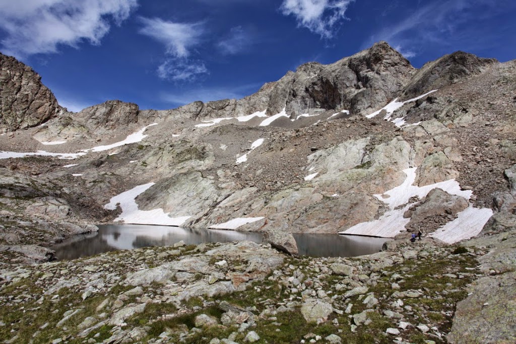
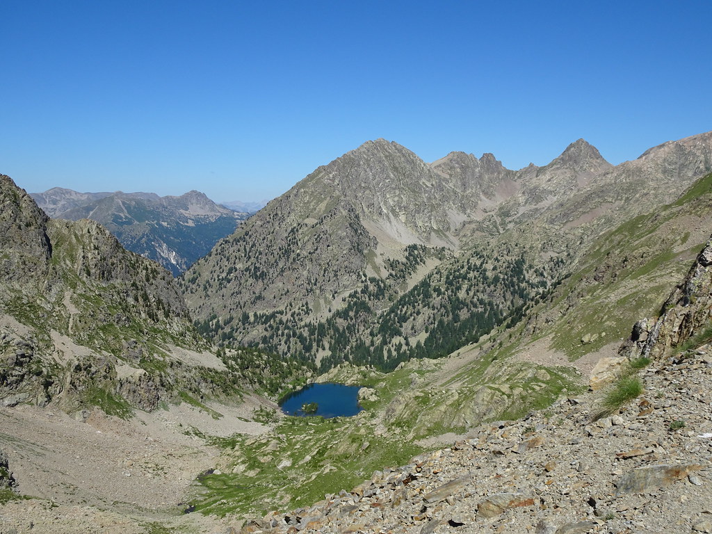
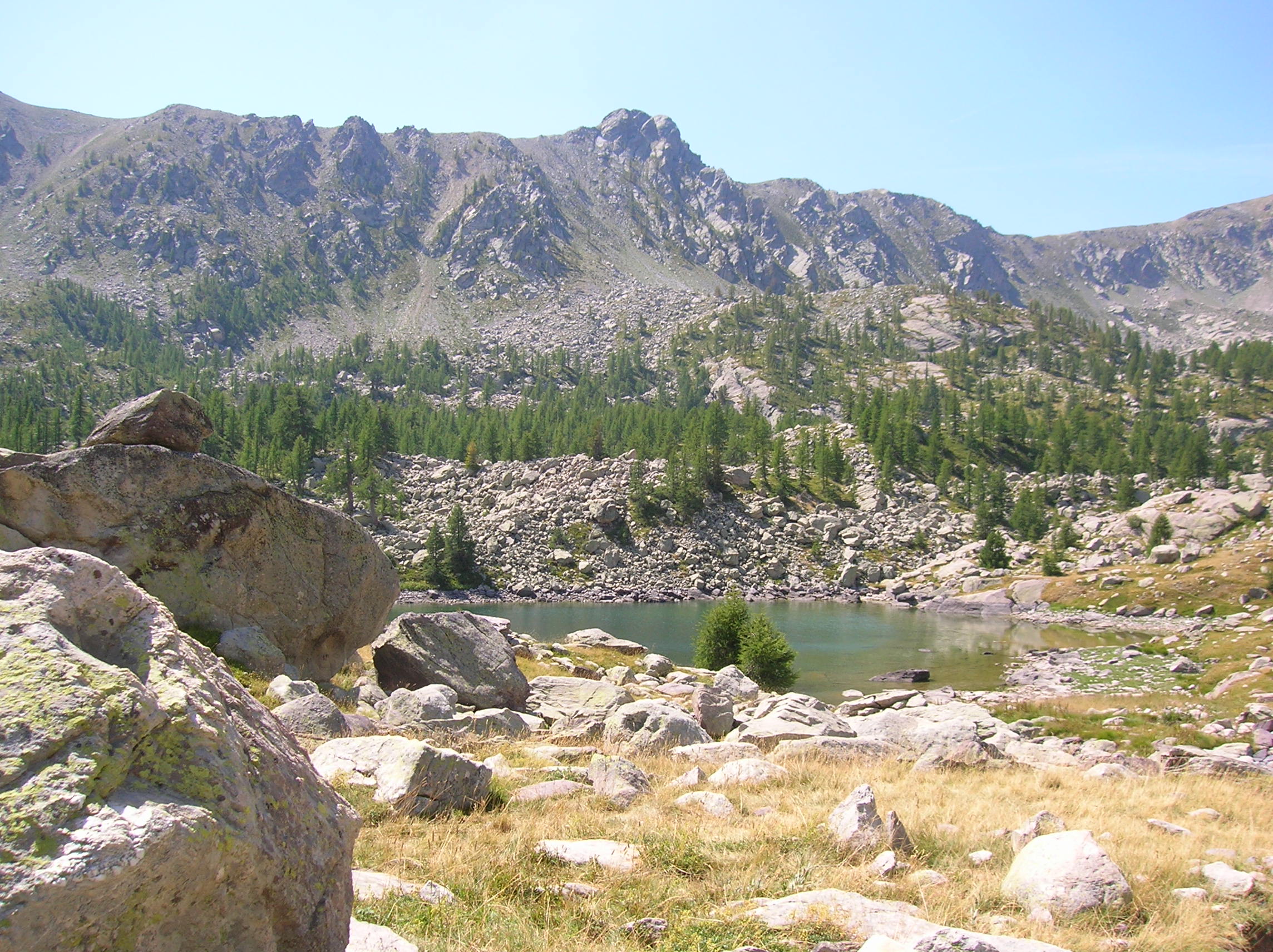
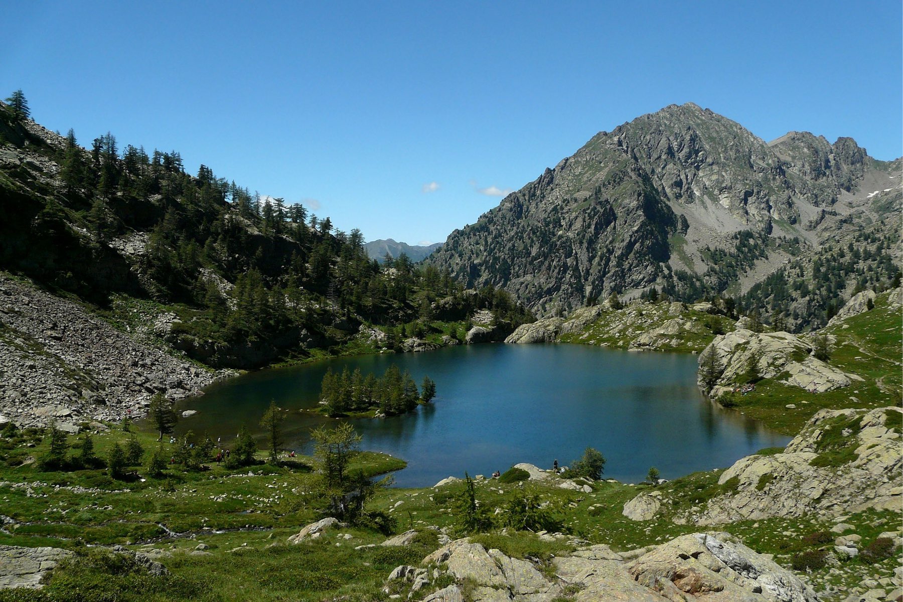
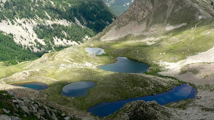
Five lakes, and perhaps a few marmots, are to be discovered during this short hike.

Already more than 200,000 users!
Uphill
530m
Highest point
2343m
Downhill
542m
Lowest point
1808m
Route type
Loop
Download the map on your smartphone to save battery and rest assured to always keep access to the route, even without signal.
Includes IGN France and Swisstopo.
2 ratings
J’ai un chien mais attaché je ne comptends ps
Avoir fait plus d’1h30 de route pour au finale se retrouver devant une route barrée. Impossible de continuer à pied (=plus 1h45)
Also enjoy:

Already more than 200,000 users!