Uphill
280m
France > Provence-Alpes-Côte d'Azur > Alpes-de-Haute-Provence
Length
9km
Duration
3h
Elev gain
280m
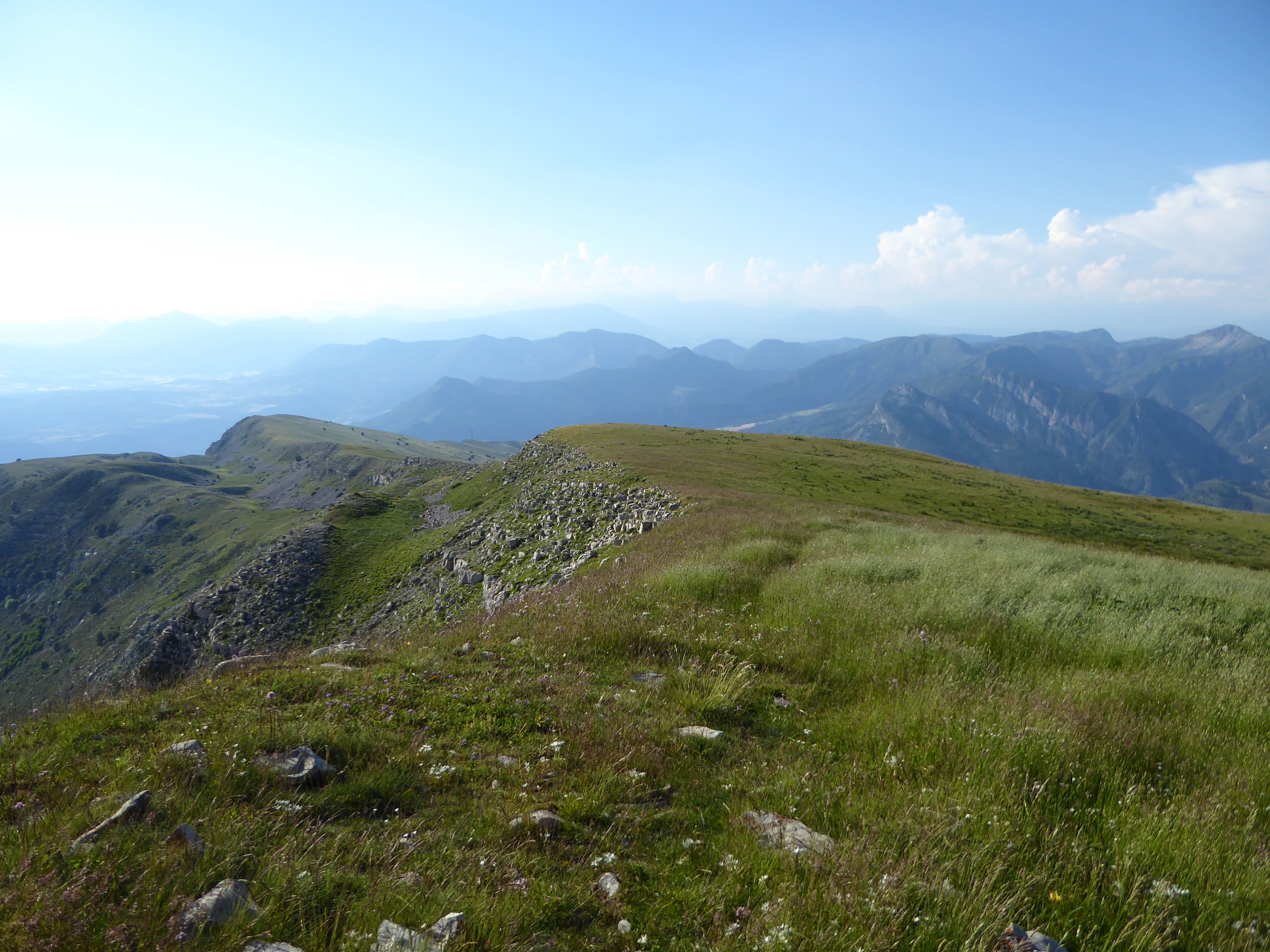
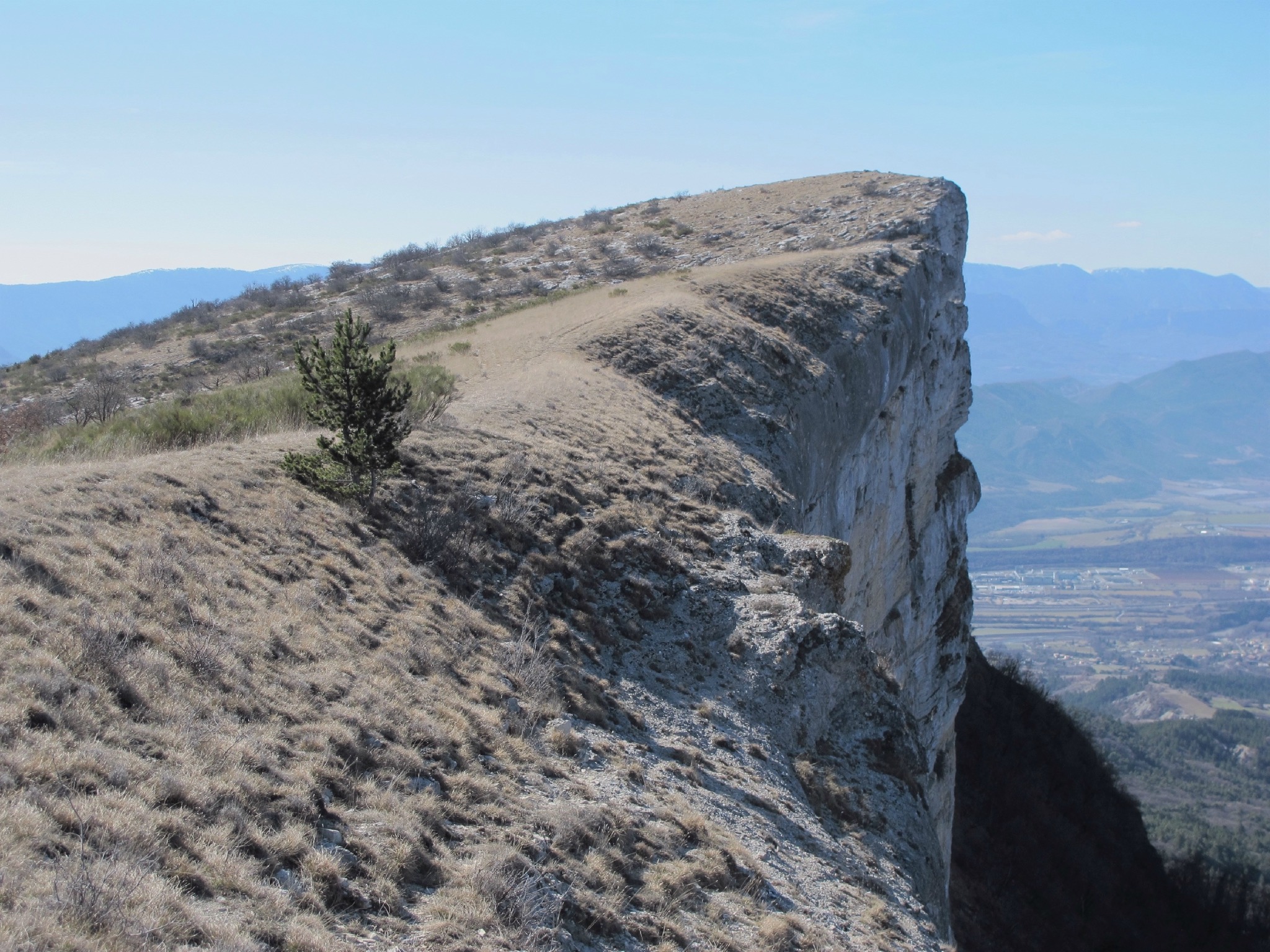
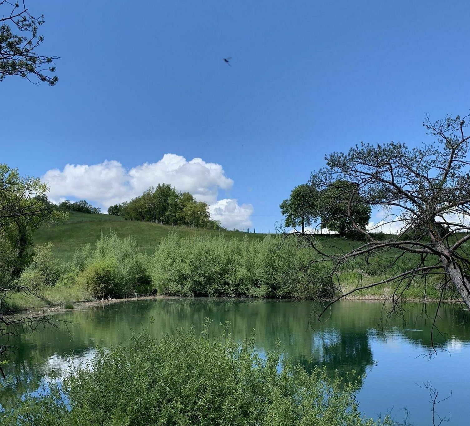
Leaving from La Motte-du-Caire, this loop is peaceful and without difficulty. The bucolic path offers some pretty views of the valley.

Already more than 200,000 users!
Uphill
280m
Highest point
932m
Downhill
280m
Lowest point
710m
Route type
Loop
Download the map on your smartphone to save battery and rest assured to always keep access to the route, even without signal.
Includes IGN France and Swisstopo.
I indicate whether dogs are allowed or prohibited on this trail
All year
0 ratings
Also enjoy:

Already more than 200,000 users!