Uphill
597m
France > Provence-Alpes-Côte d'Azur > Alpes-de-Haute-Provence
Length
13km
Duration
5h
Elev gain
597m
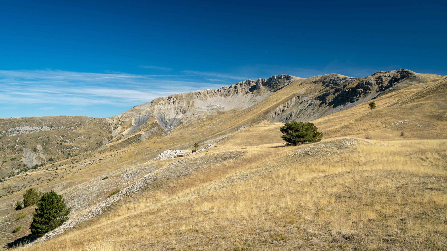
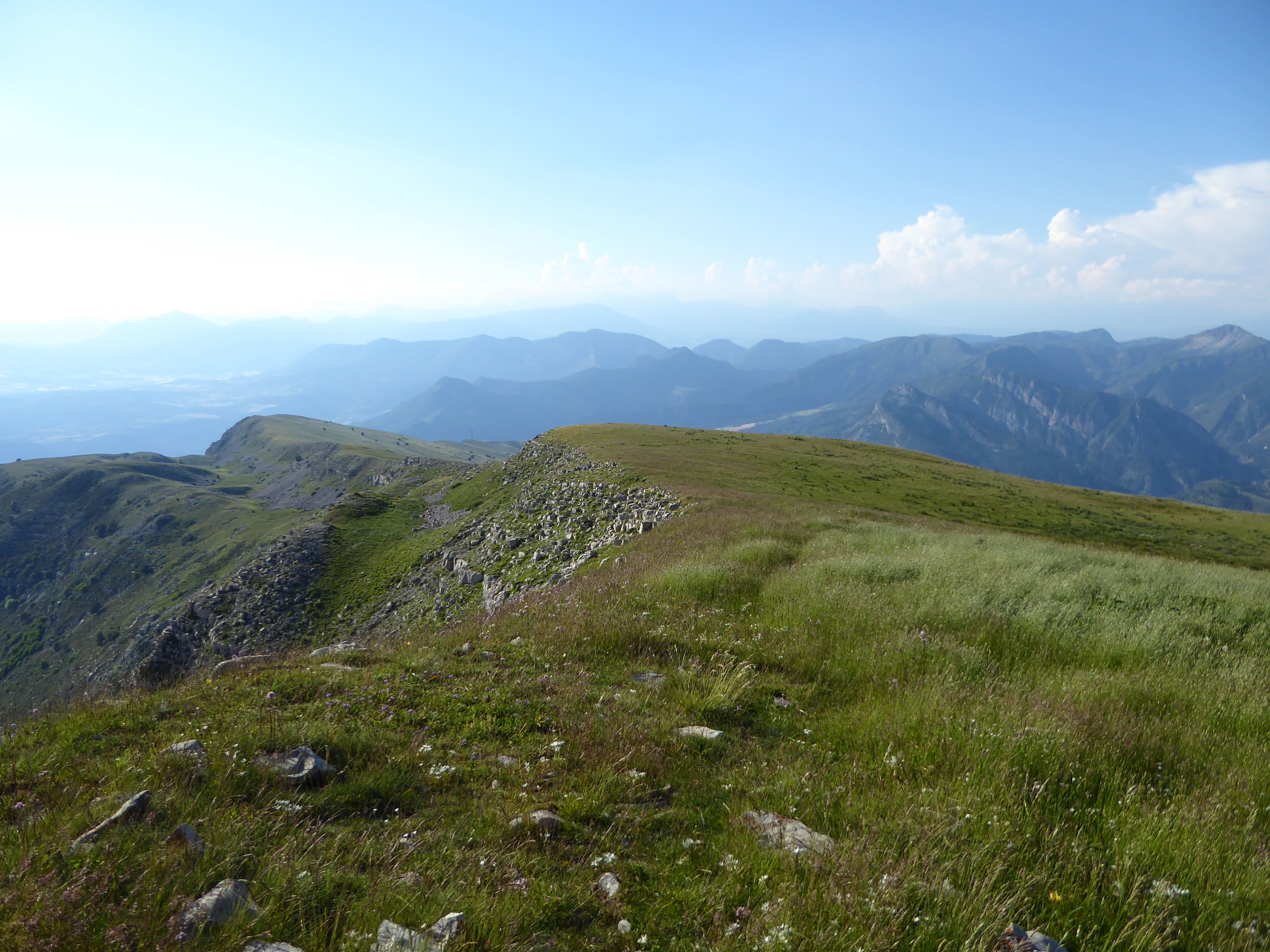
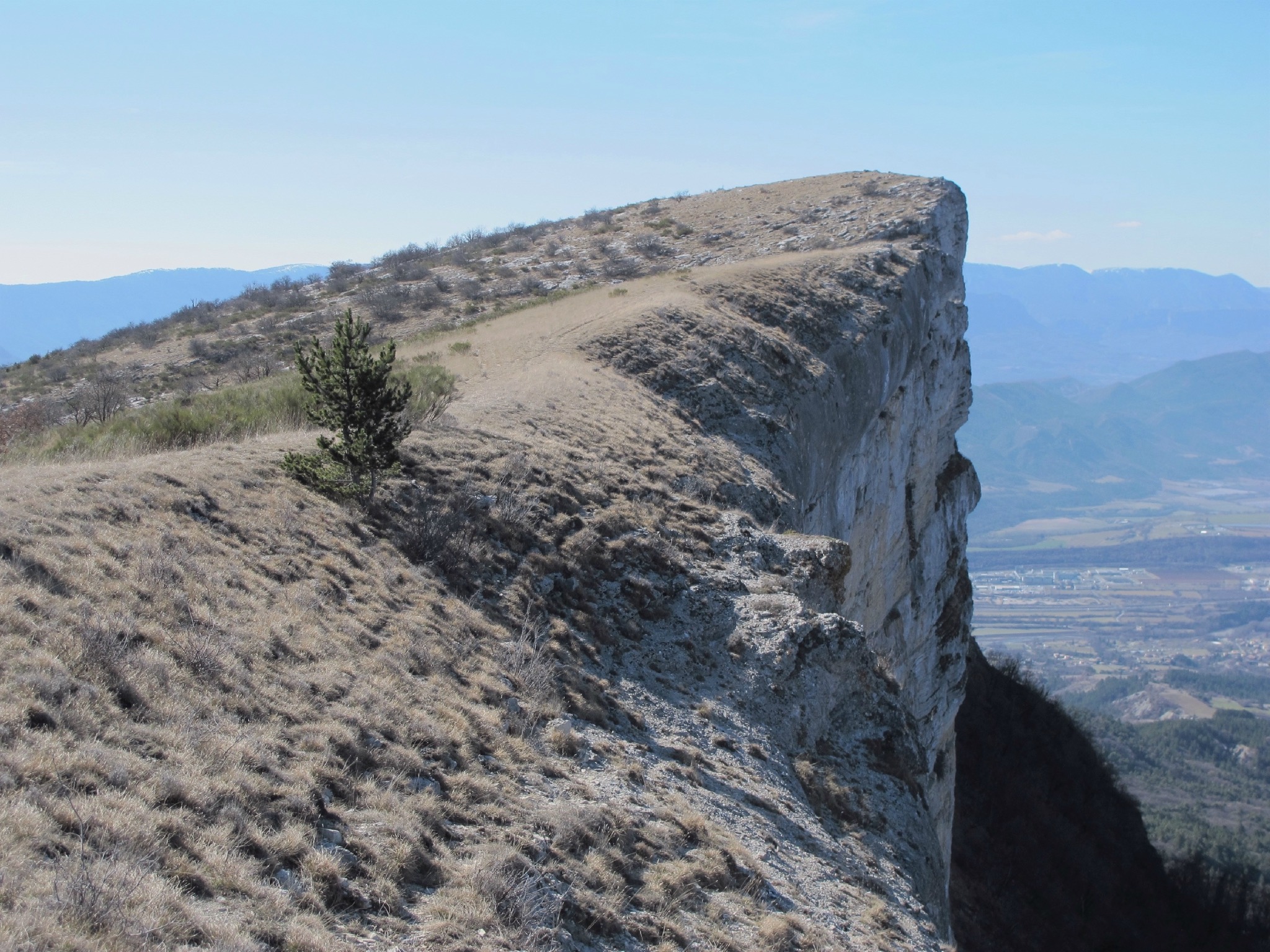
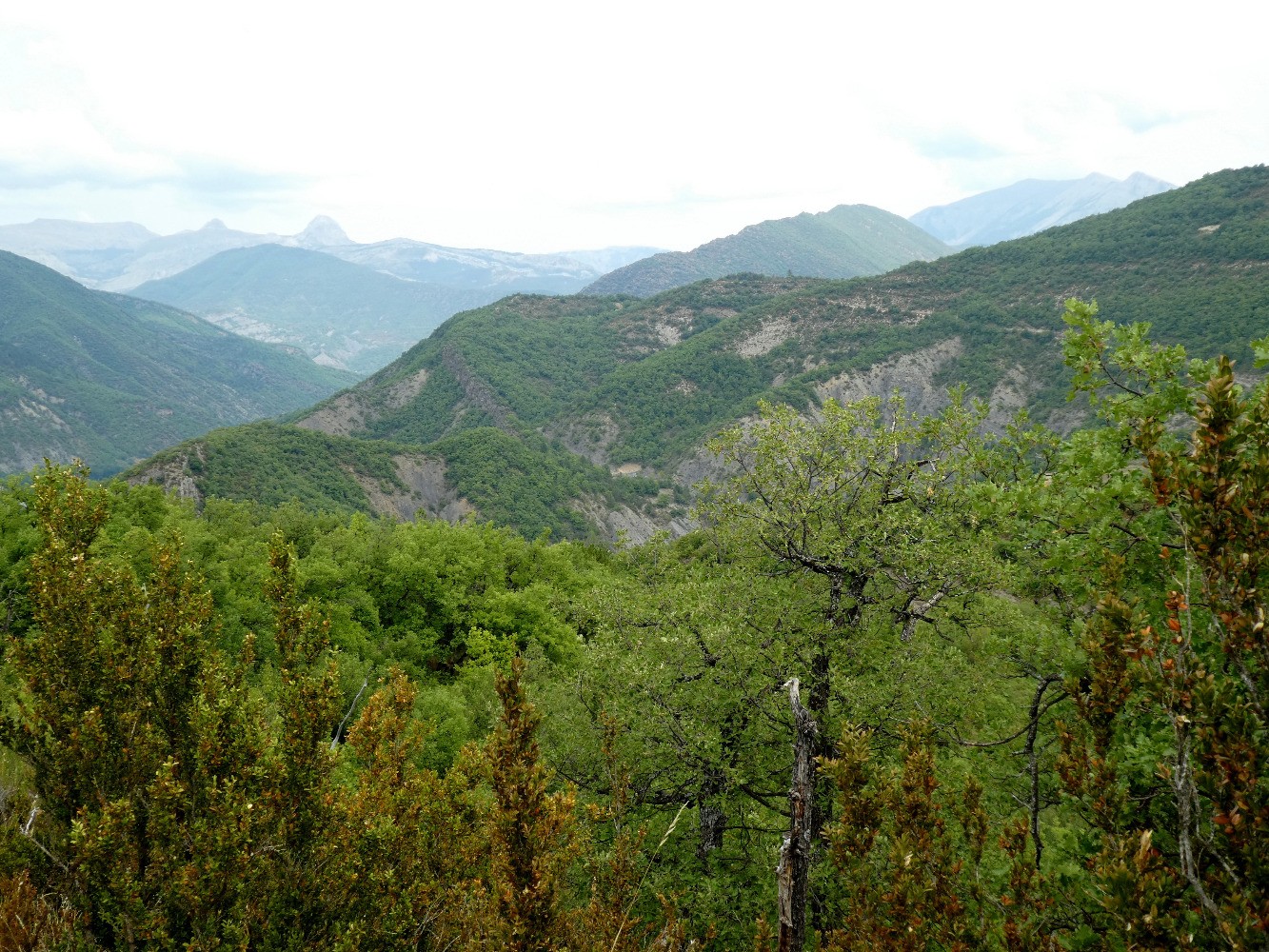
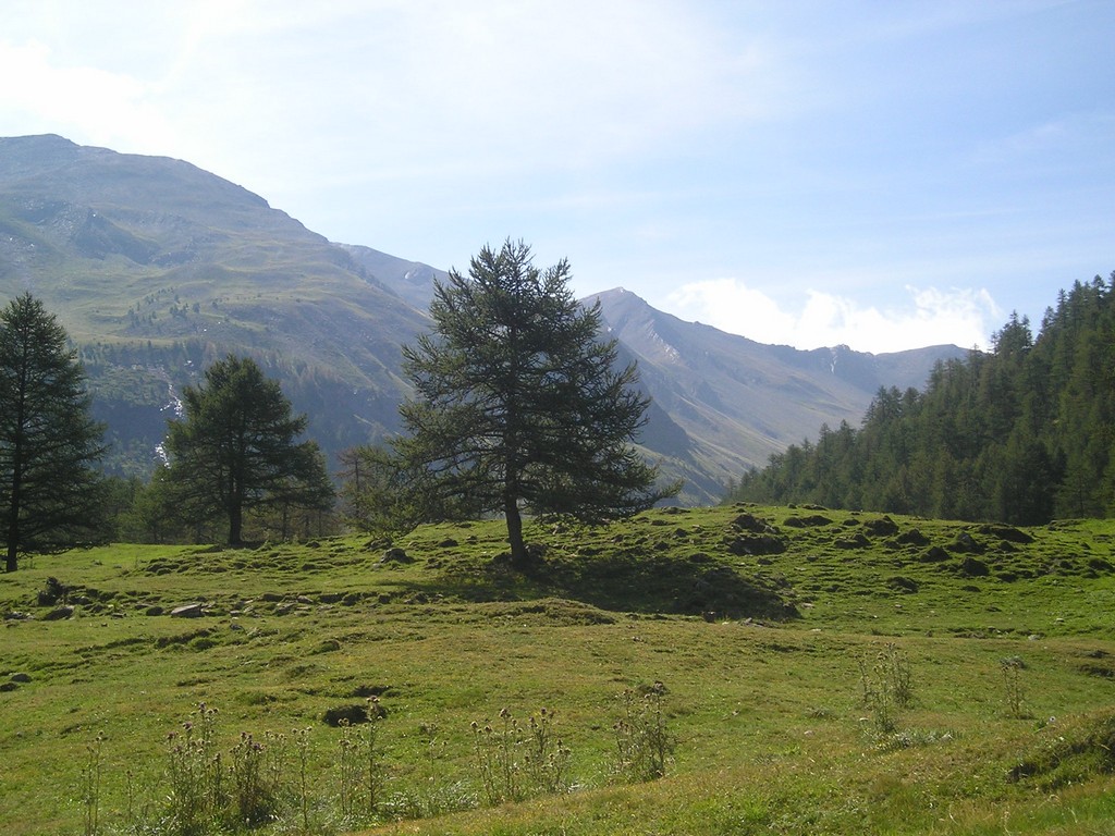
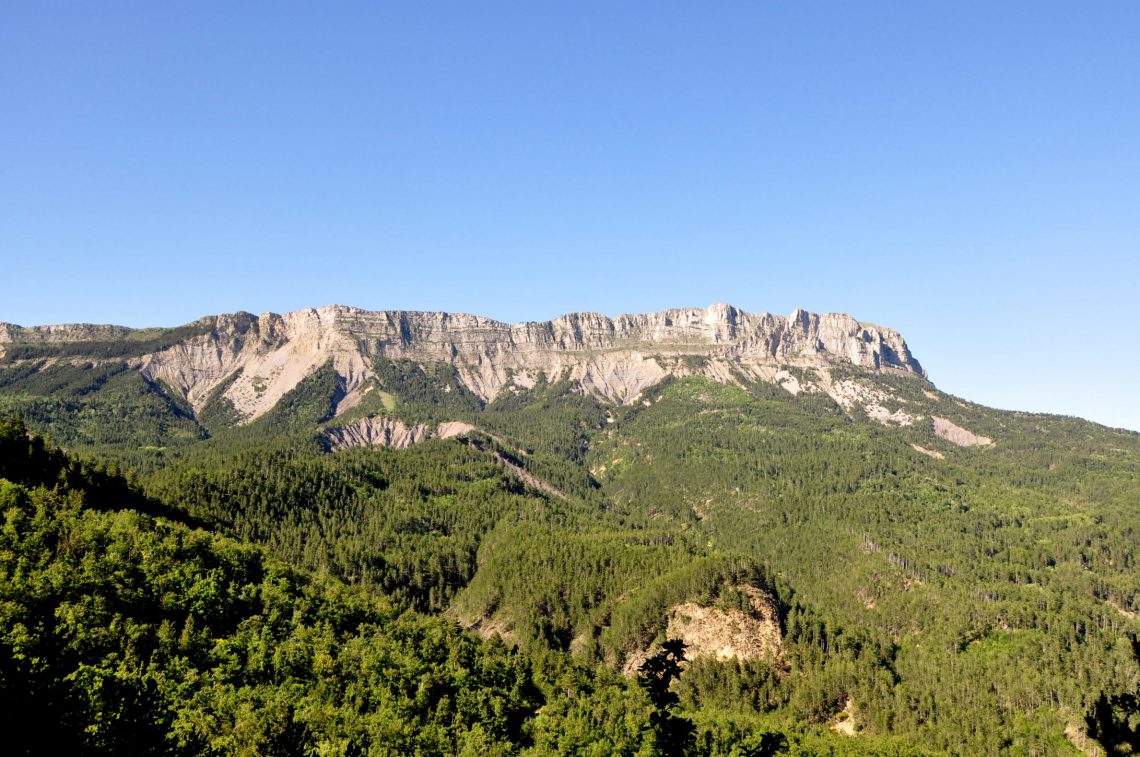
From the col de Fontbelle, round trip to the summit of Géruen. Immersion in the heart of nature and a pretty panorama at the top.

Already more than 200,000 users!
Uphill
597m
Highest point
1865m
Downhill
597m
Lowest point
1300m
Route type
There and back
Download the map on your smartphone to save battery and rest assured to always keep access to the route, even without signal.
Includes IGN France and Swisstopo.
I indicate whether dogs are allowed or prohibited on this trail
From May to October
2 ratings
Also enjoy:

Already more than 200,000 users!