Uphill
230m
France > Provence-Alpes-Côte d'Azur > Alpes-de-Haute-Provence
Length
3km
Duration
1h30min
Elev gain
230m
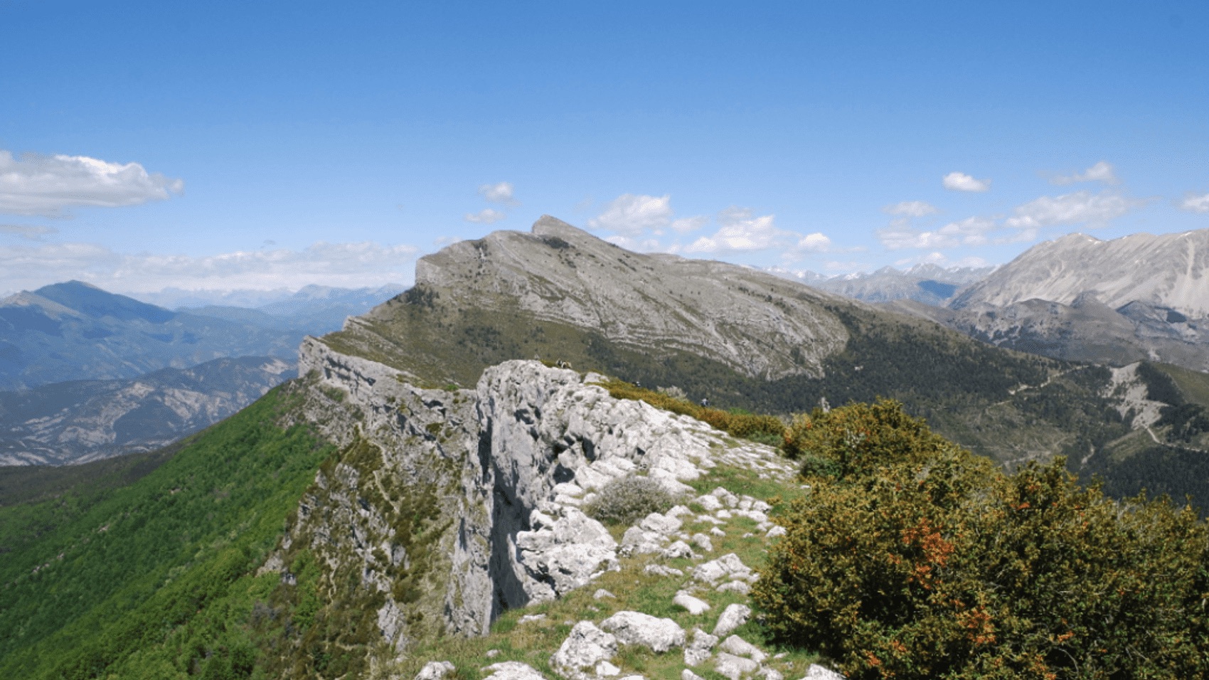
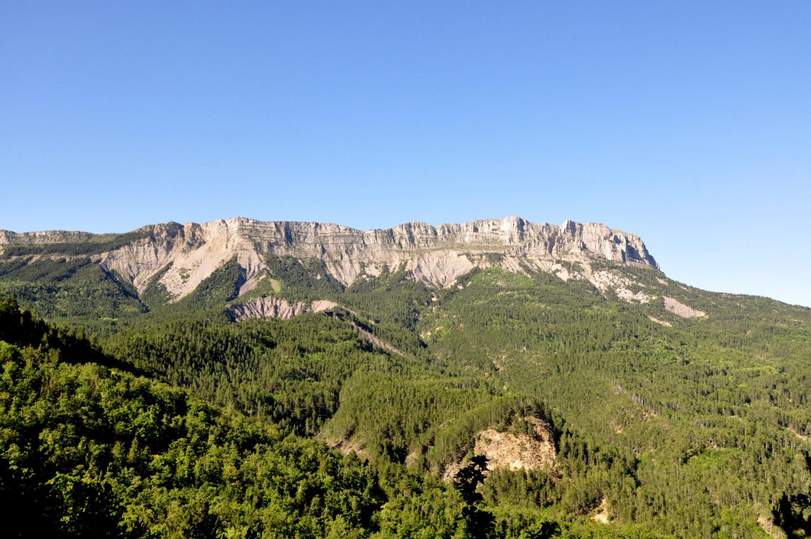
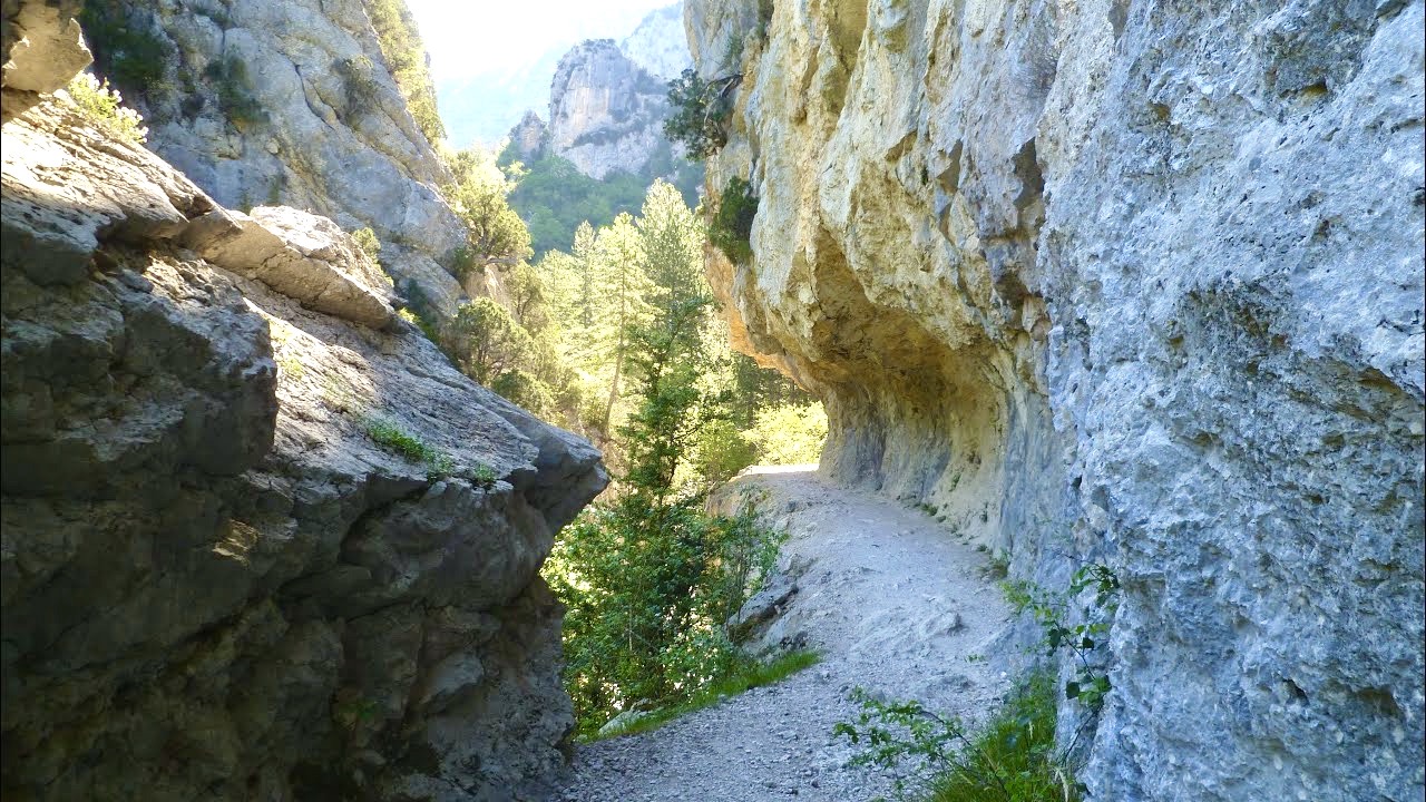
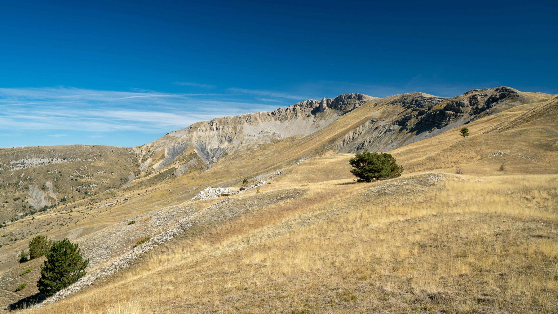
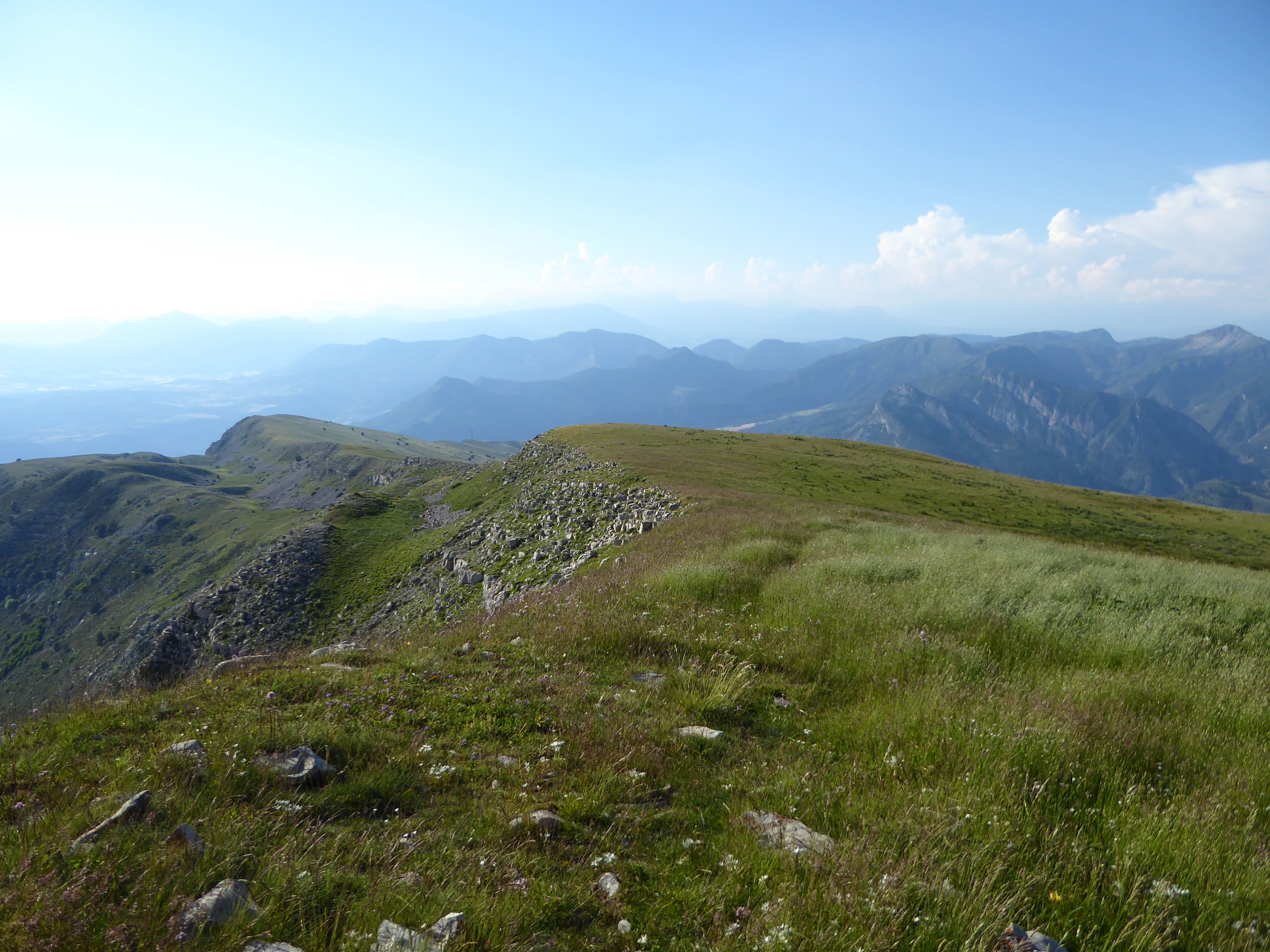
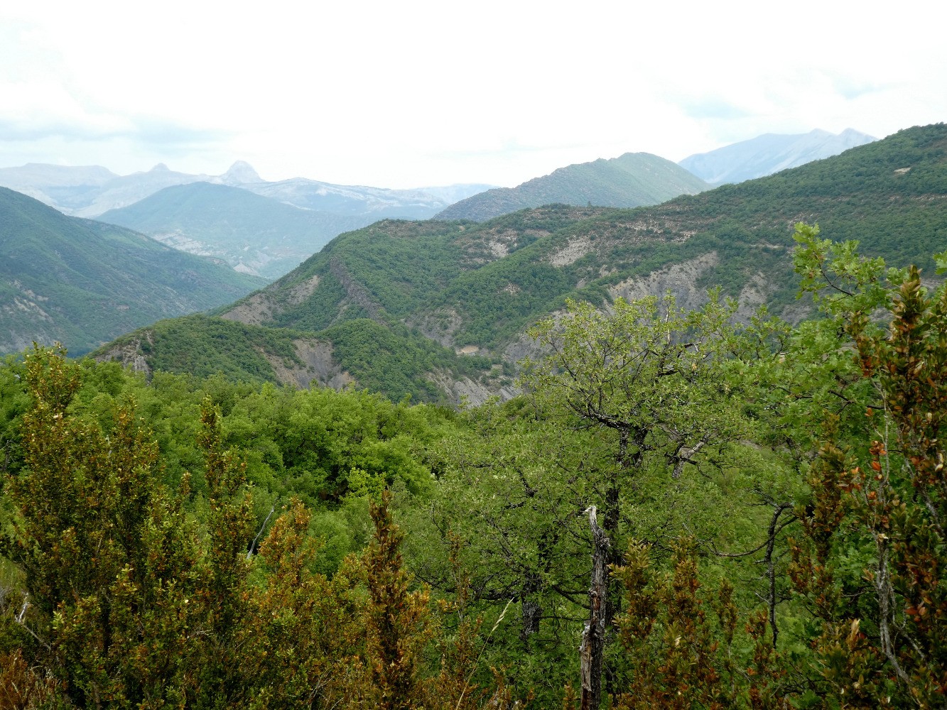
Leaving from Digne-les-Bains, this path leads to the three chapels built on the hill overlooking the town. Forest path offering beautiful points of view over the town, the summit of Cousson and the massif des Trois Évêchés.

Already more than 200,000 users!
Uphill
230m
Highest point
850m
Downhill
230m
Lowest point
613m
Route type
Loop
Download the map on your smartphone to save battery and rest assured to always keep access to the route, even without signal.
Includes IGN France and Swisstopo.
I indicate whether dogs are allowed or prohibited on this trail
All year
0 ratings
Also enjoy:

Already more than 200,000 users!