Uphill
654m
France > Provence-Alpes-Côte d'Azur > Alpes-de-Haute-Provence
Length
10km
Duration
5h
Elev gain
654m
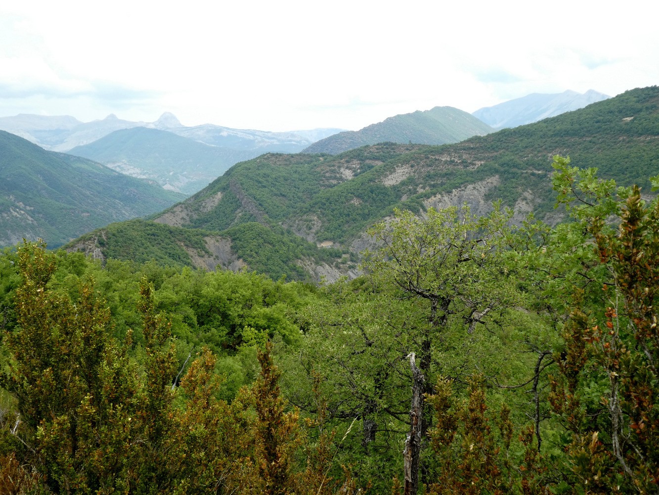
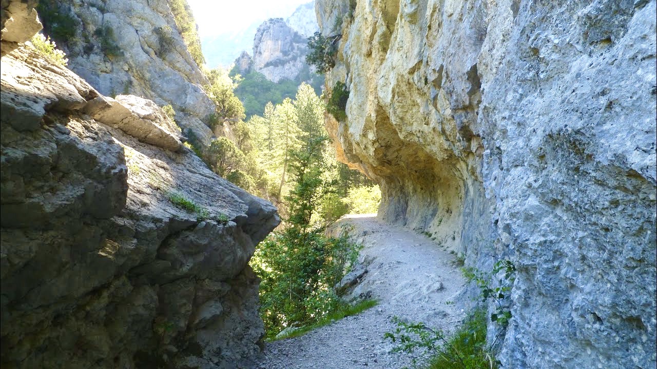
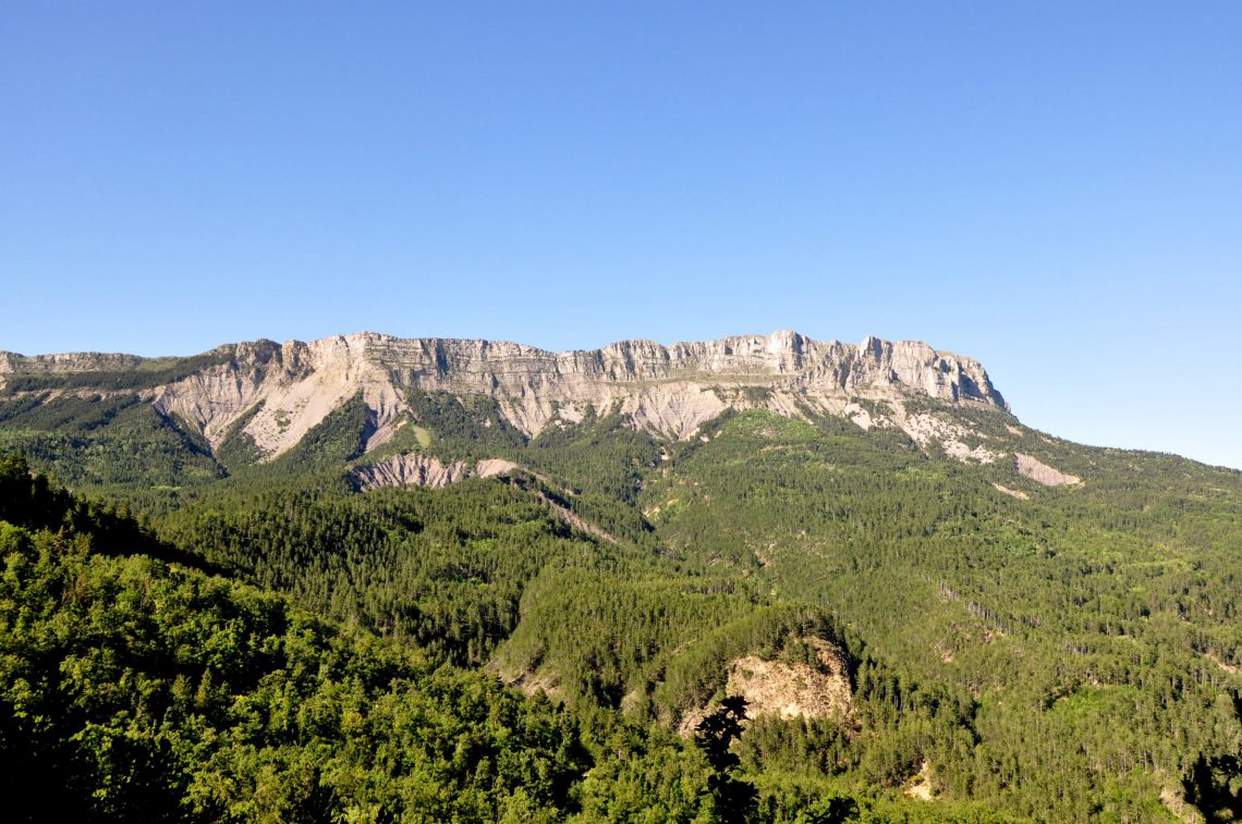
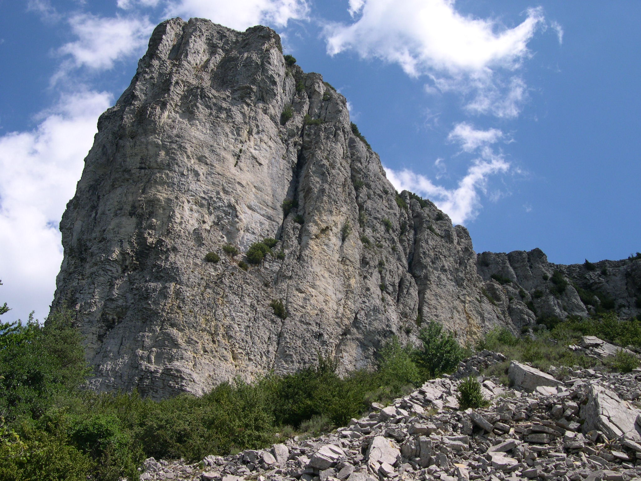
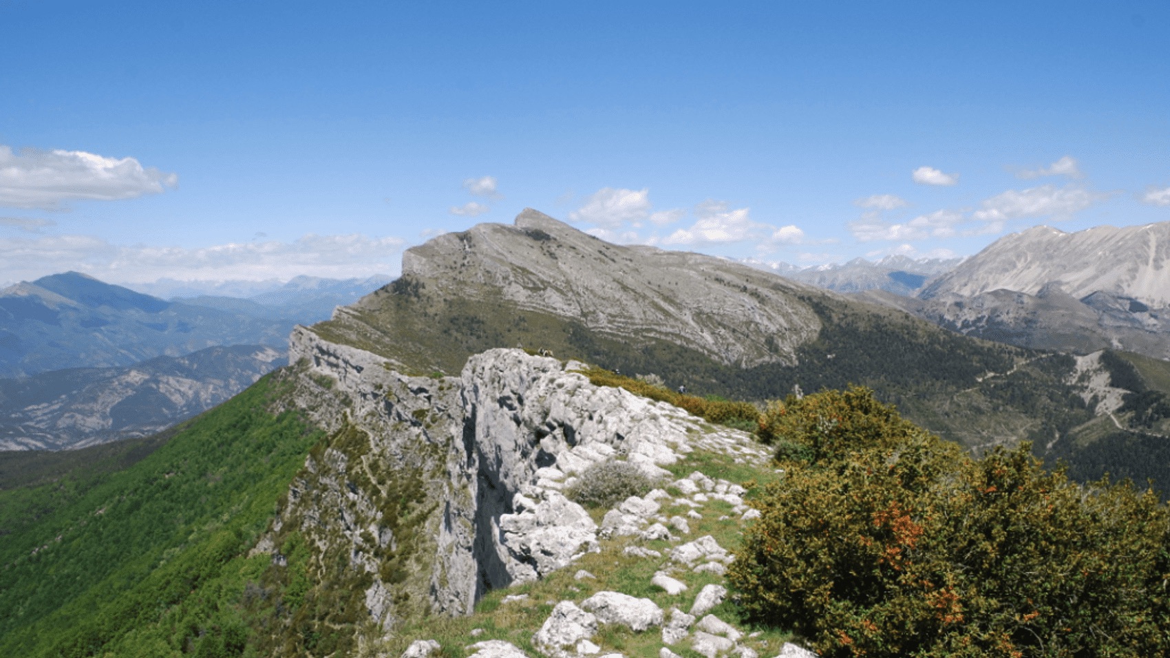
Aerial hike on the crests of the Barre des Dourbes, offering a magnificent panorama of the surroundings.
To be avoided by people prone to vertigo.

Already more than 200,000 users!
Uphill
654m
Highest point
1726m
Downhill
654m
Lowest point
1095m
Route type
Loop
Download the map on your smartphone to save battery and rest assured to always keep access to the route, even without signal.
Includes IGN France and Swisstopo.
I indicate whether dogs are allowed or prohibited on this trail
From May to October
0 ratings
Also enjoy:

Already more than 200,000 users!