Uphill
886m
Length
17km
Duration
7h
Elev gain
886m
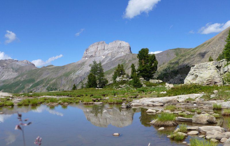
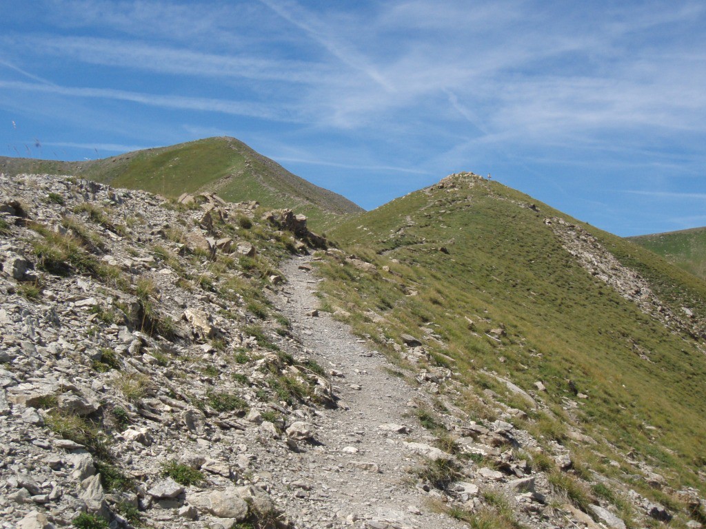
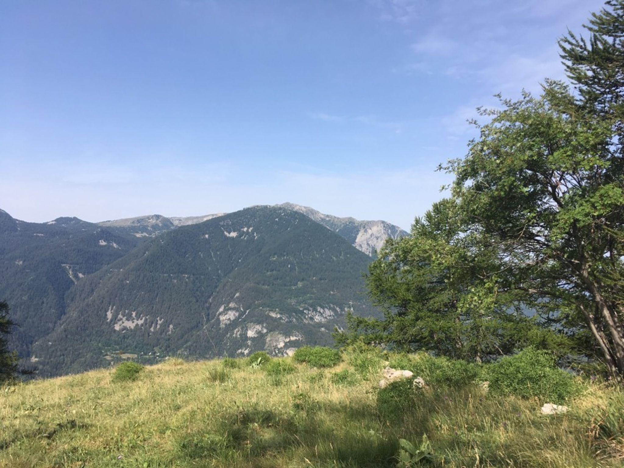
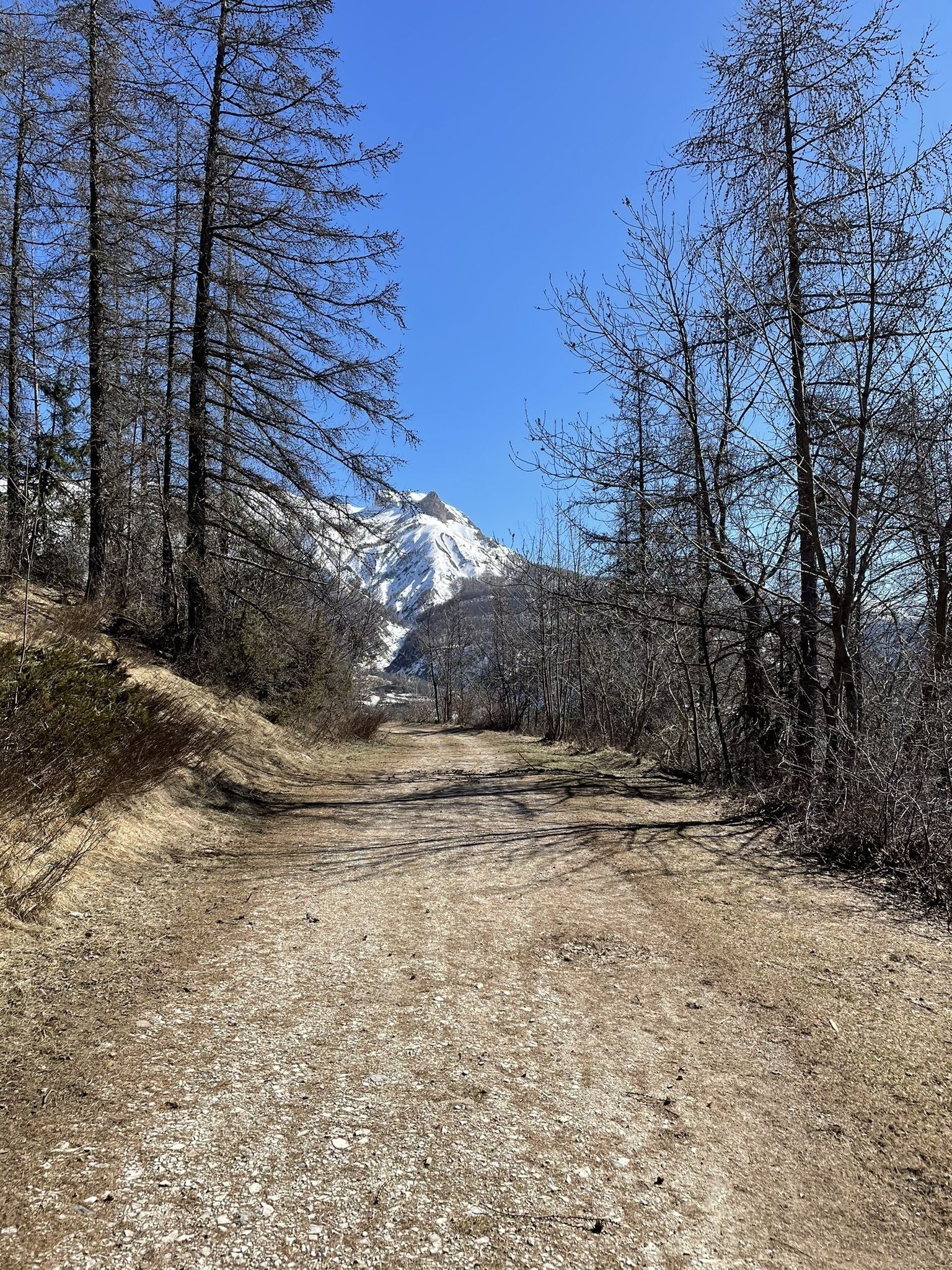
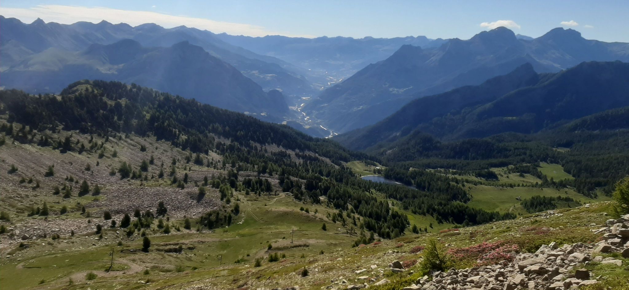
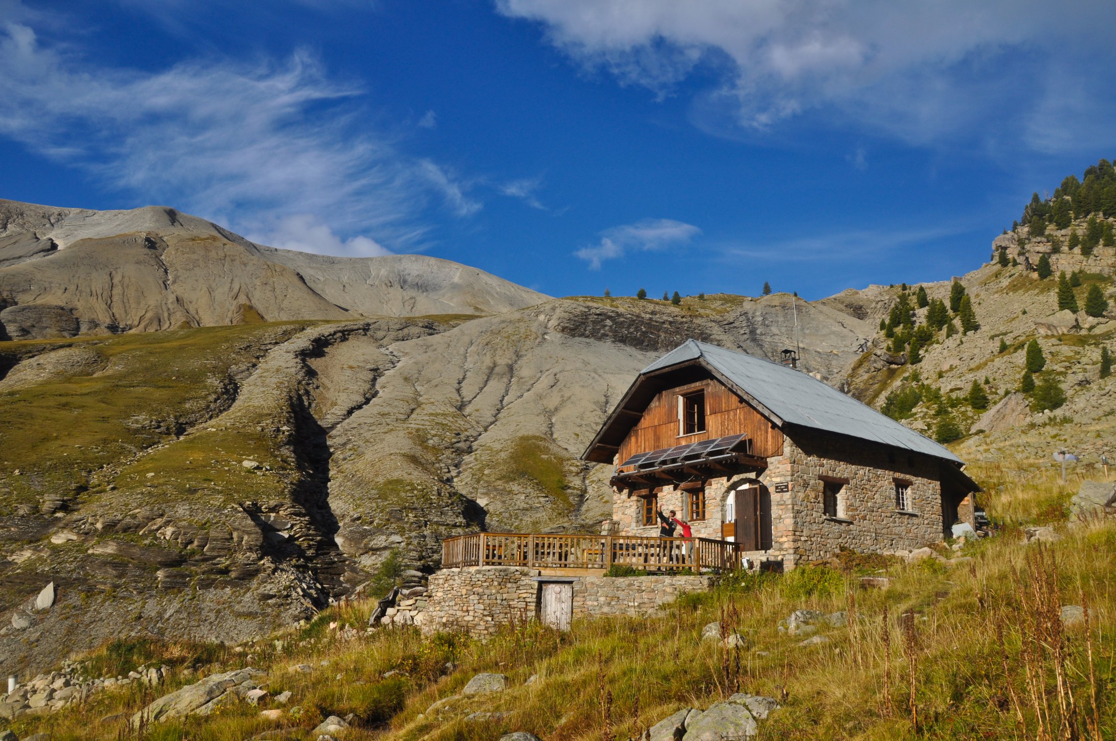
Difficult hike full of surprises. Waterfalls, rivers and pastures await you to finally reach the Estrop refuge at an altitude of 2,050 metres.

Already more than 200,000 users!
Uphill
886m
Highest point
2024m
Downhill
886m
Lowest point
1175m
Route type
There and back
Download the map on your smartphone to save battery and rest assured to always keep access to the route, even without signal.
Includes IGN France and Swisstopo.
I indicate whether dogs are allowed or prohibited on this trail
From May to September
0 ratings
Also enjoy:

Already more than 200,000 users!