Uphill
747m
Length
17km
Duration
6h30min
Elev gain
747m
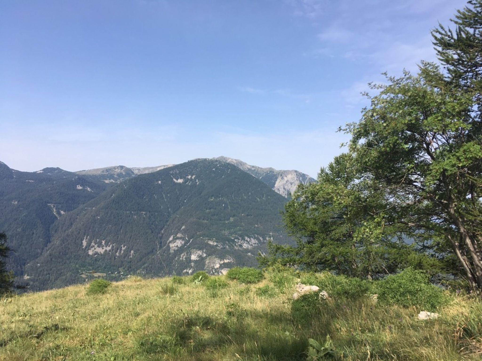
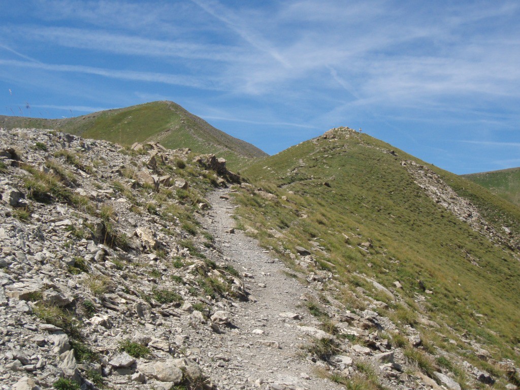
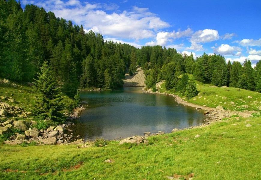
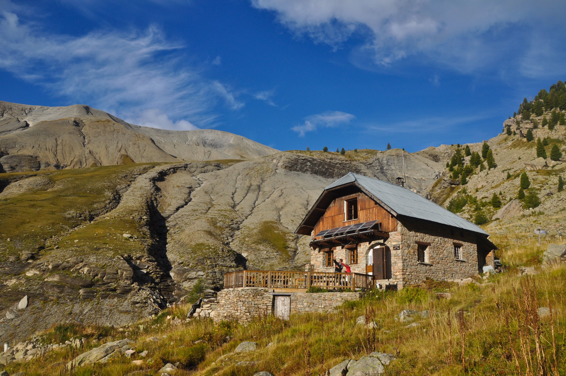
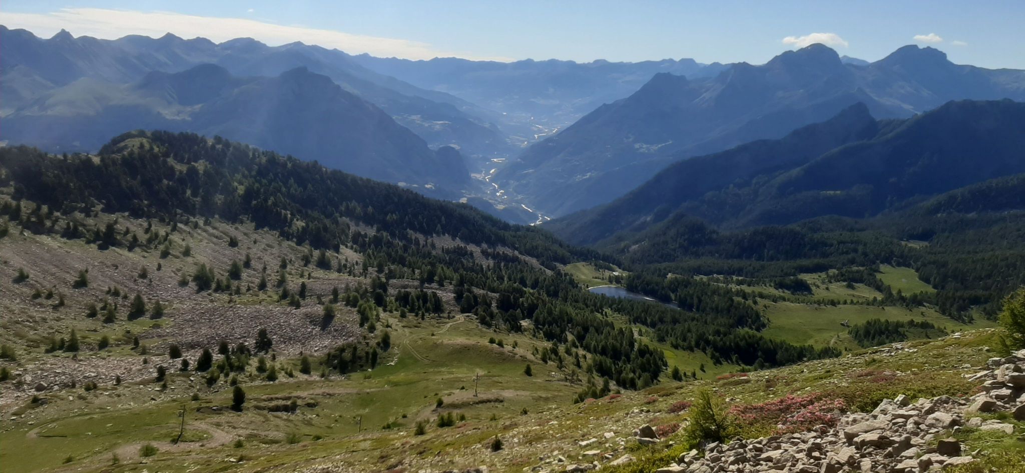
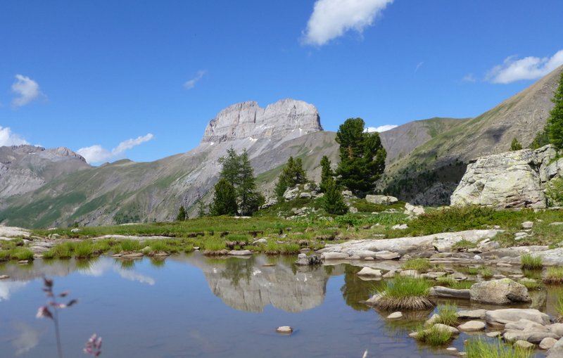
The Vallon du Laverq and the Eaux Tortes are an exceptional setting. Wildlife and water are everywhere.

Already more than 200,000 users!
Uphill
747m
Highest point
2281m
Downhill
747m
Lowest point
1579m
Route type
There and back
Download the map on your smartphone to save battery and rest assured to always keep access to the route, even without signal.
Includes IGN France and Swisstopo.
I indicate whether dogs are allowed or prohibited on this trail
From May to September
0 ratings
Also enjoy:

Already more than 200,000 users!