Uphill
680m
Length
8km
Duration
4h30min
Elev gain
680m
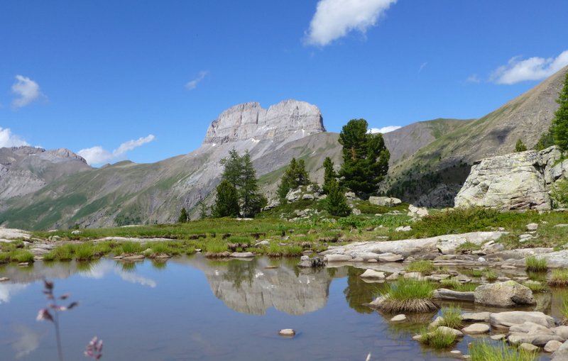
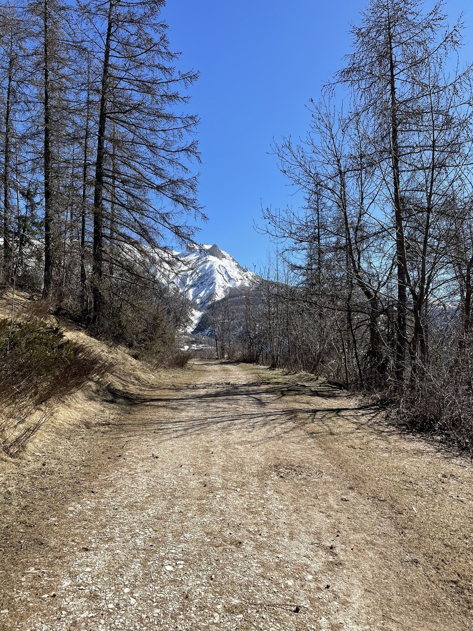
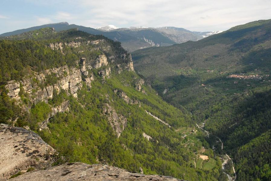
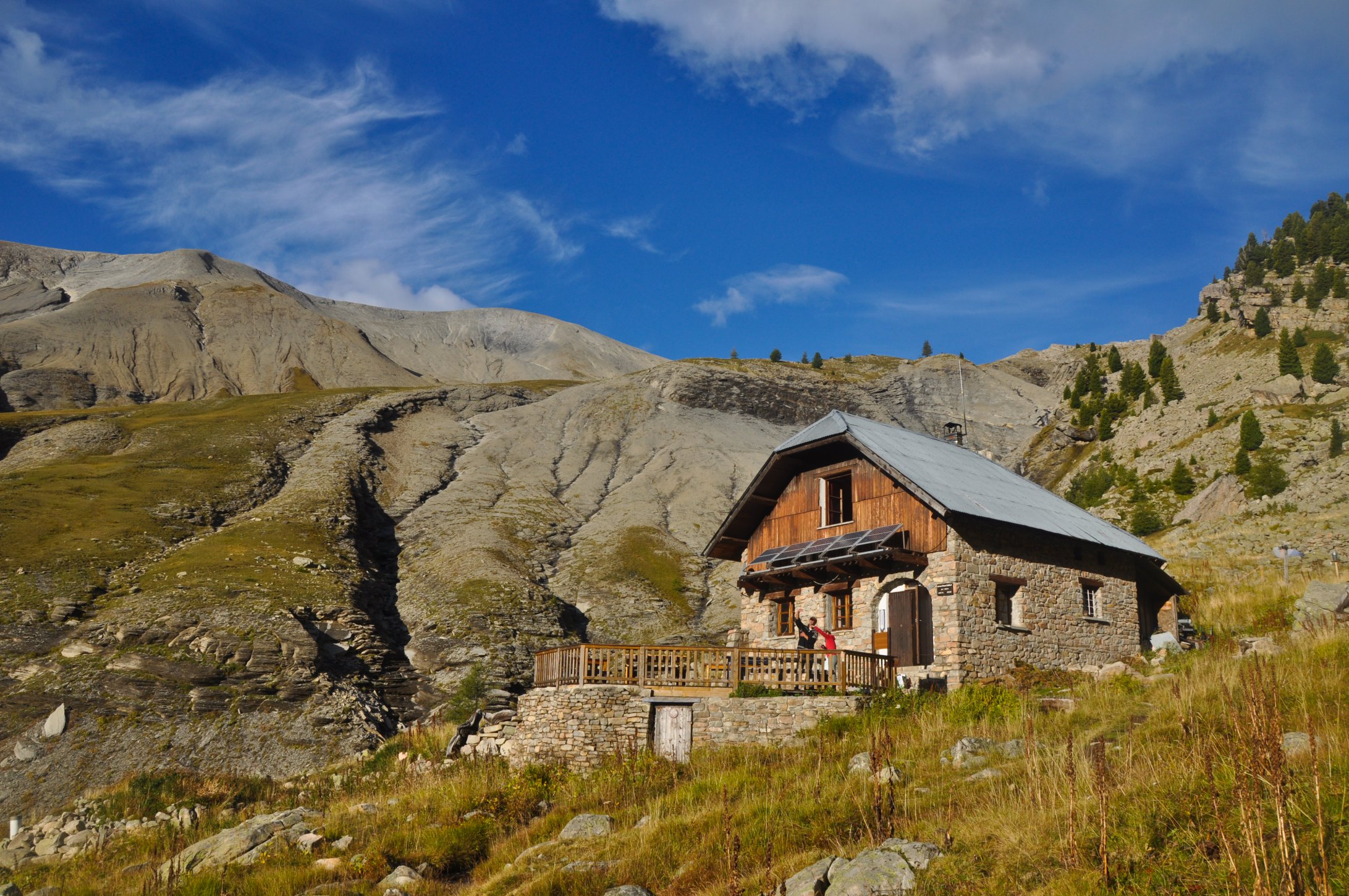
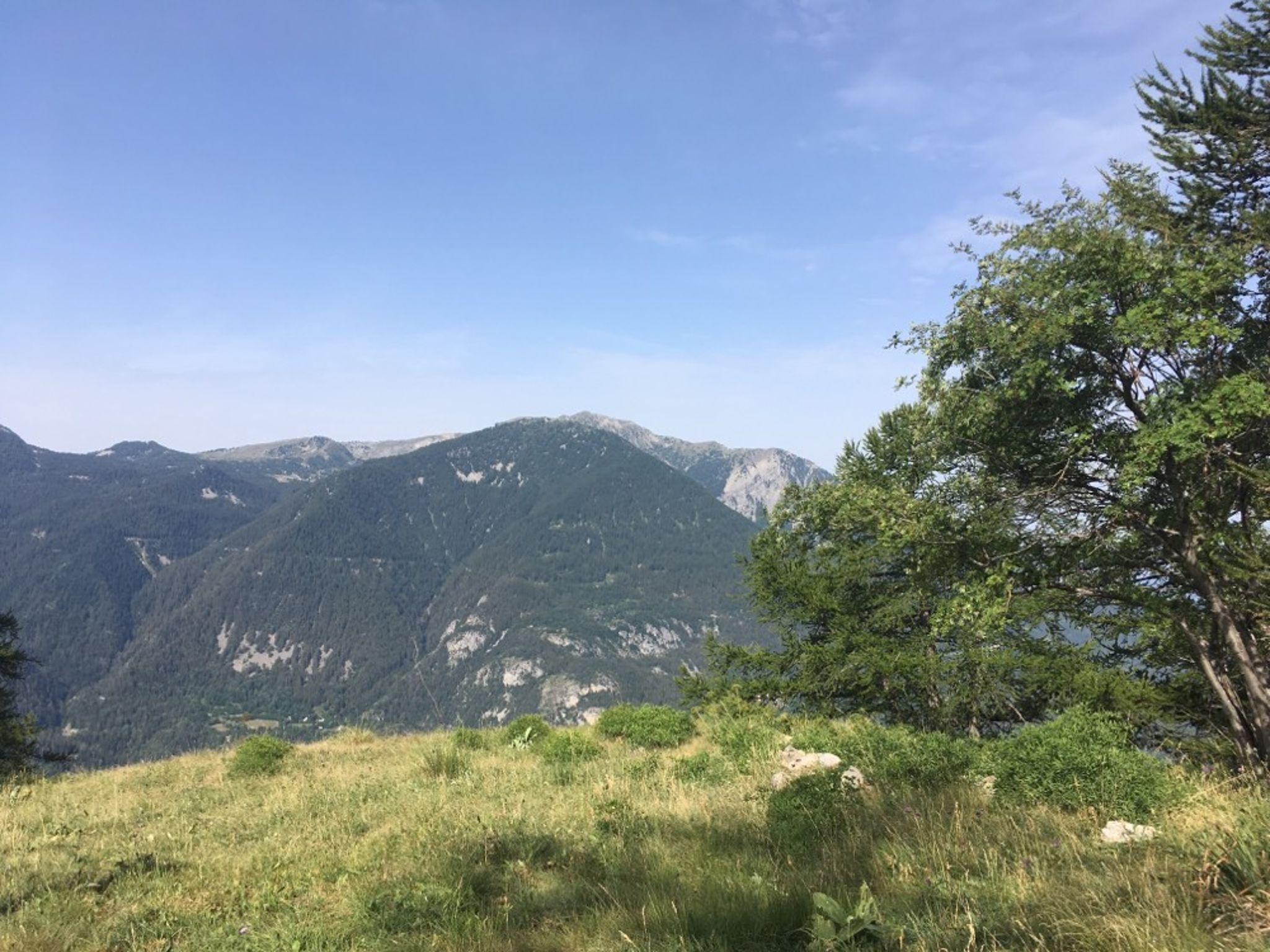
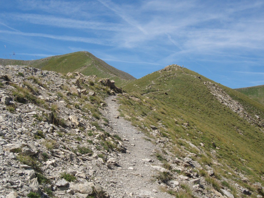
Starting from the Étoiles district, this route takes a path that runs along the course of the Verdon. It then climbs to the top of the Tête de la Sestrière which culminates at 2575 meters above sea level, offering a magnificent panorama.

Already more than 200,000 users!
Uphill
680m
Highest point
2557m
Downhill
680m
Lowest point
1872m
Route type
There and back
Download the map on your smartphone to save battery and rest assured to always keep access to the route, even without signal.
Includes IGN France and Swisstopo.
I indicate whether dogs are allowed or prohibited on this trail
From June to September
0 ratings
Also enjoy:

Already more than 200,000 users!