Uphill
124m
Length
4km
Duration
1h
Elev gain
124m
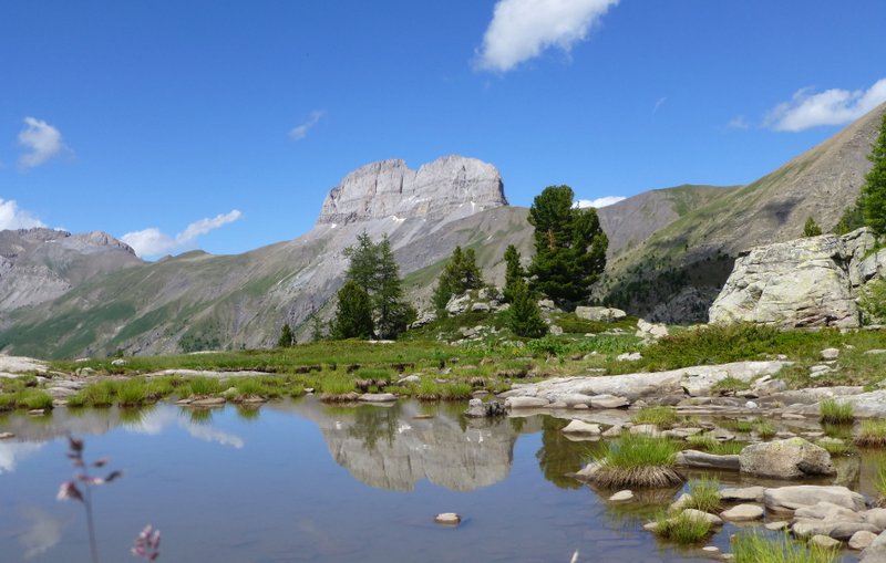
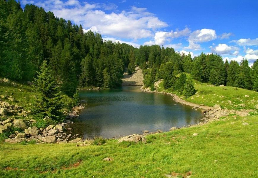
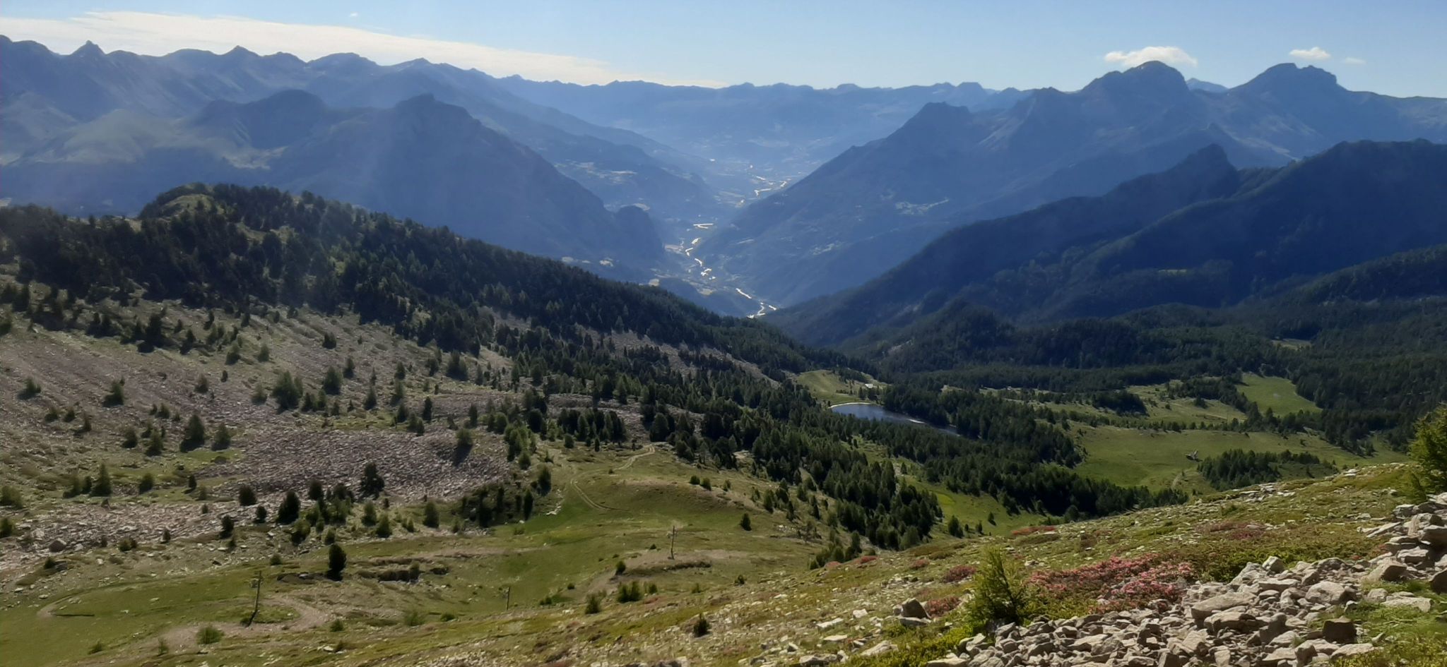
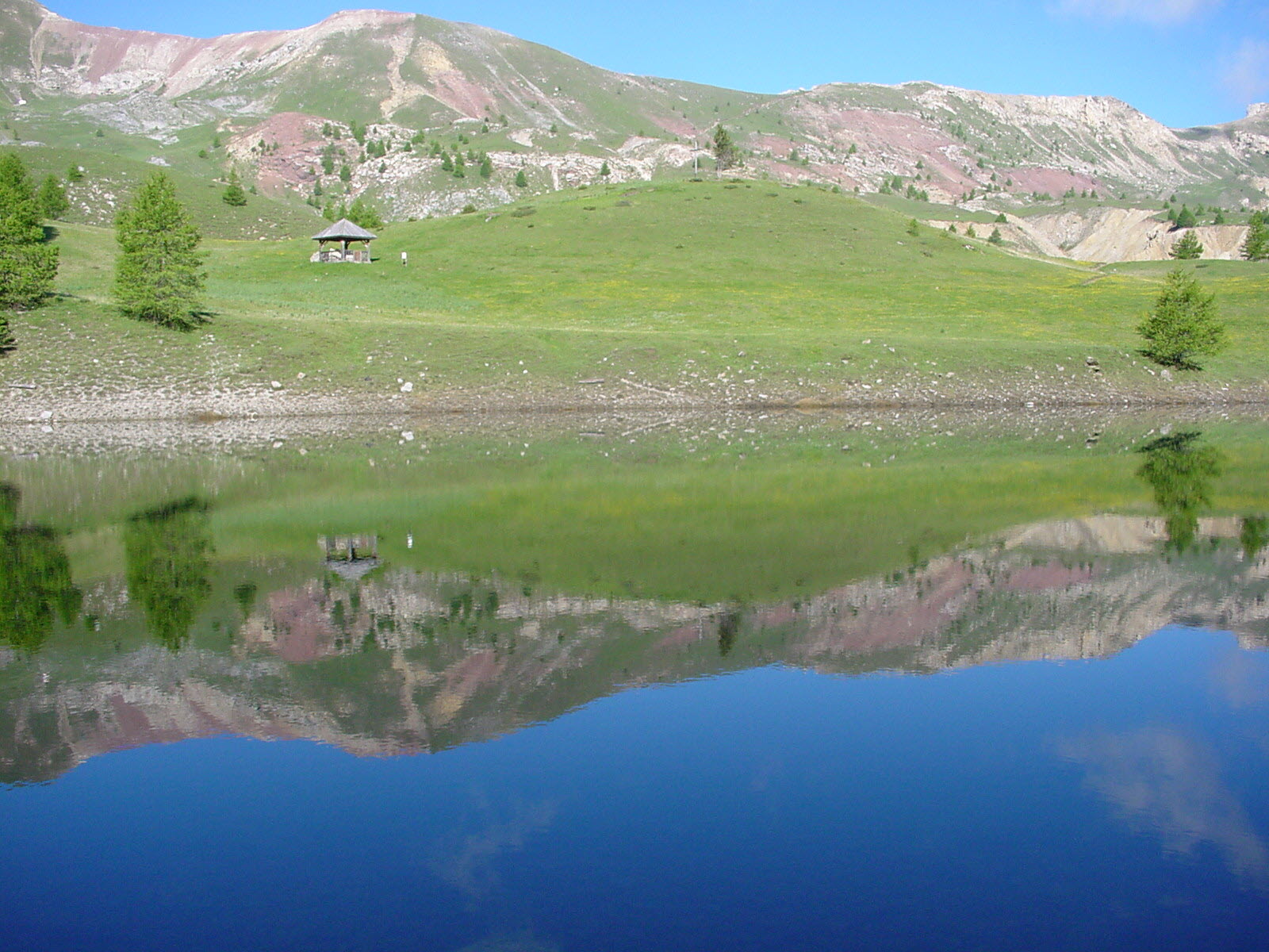
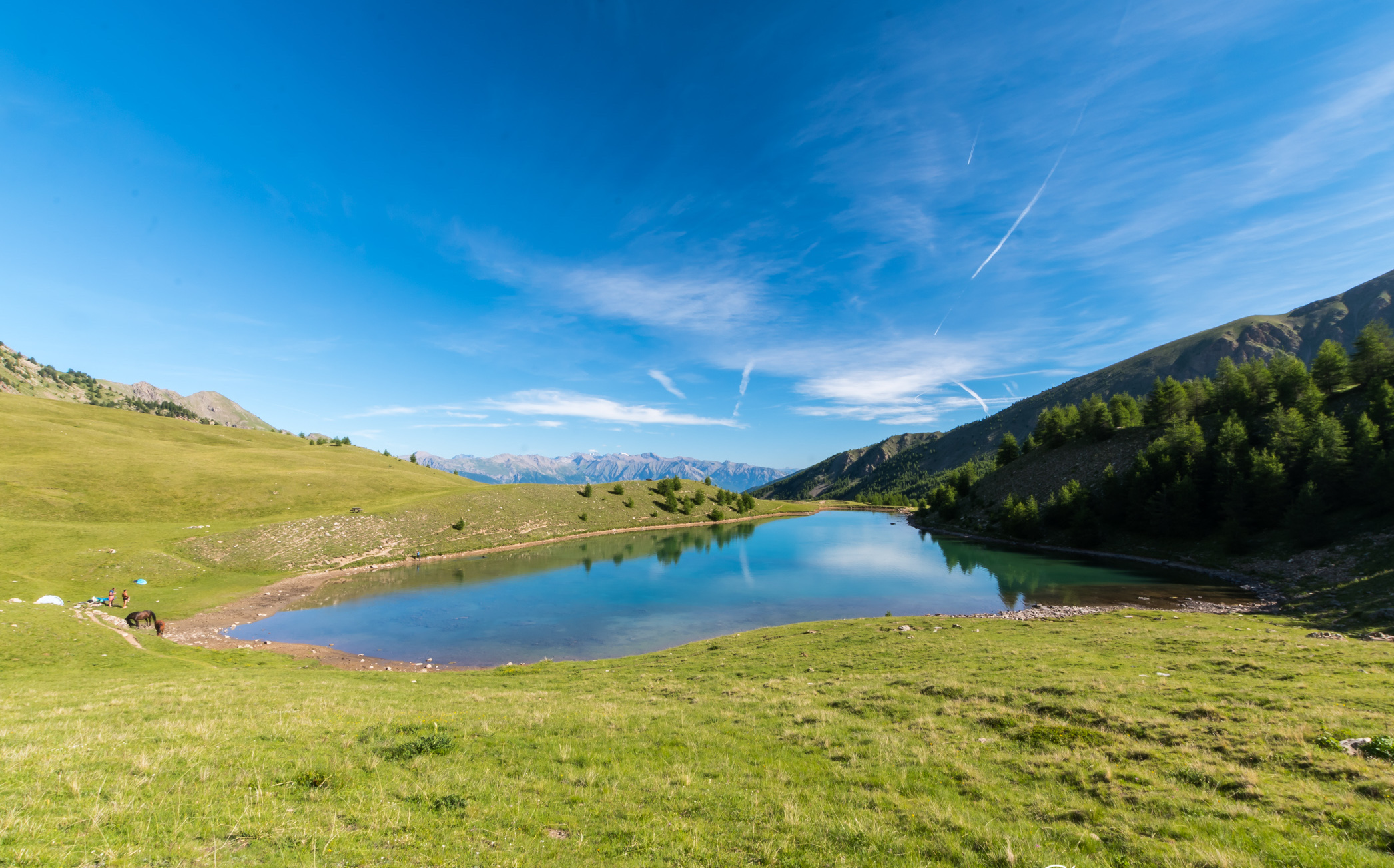
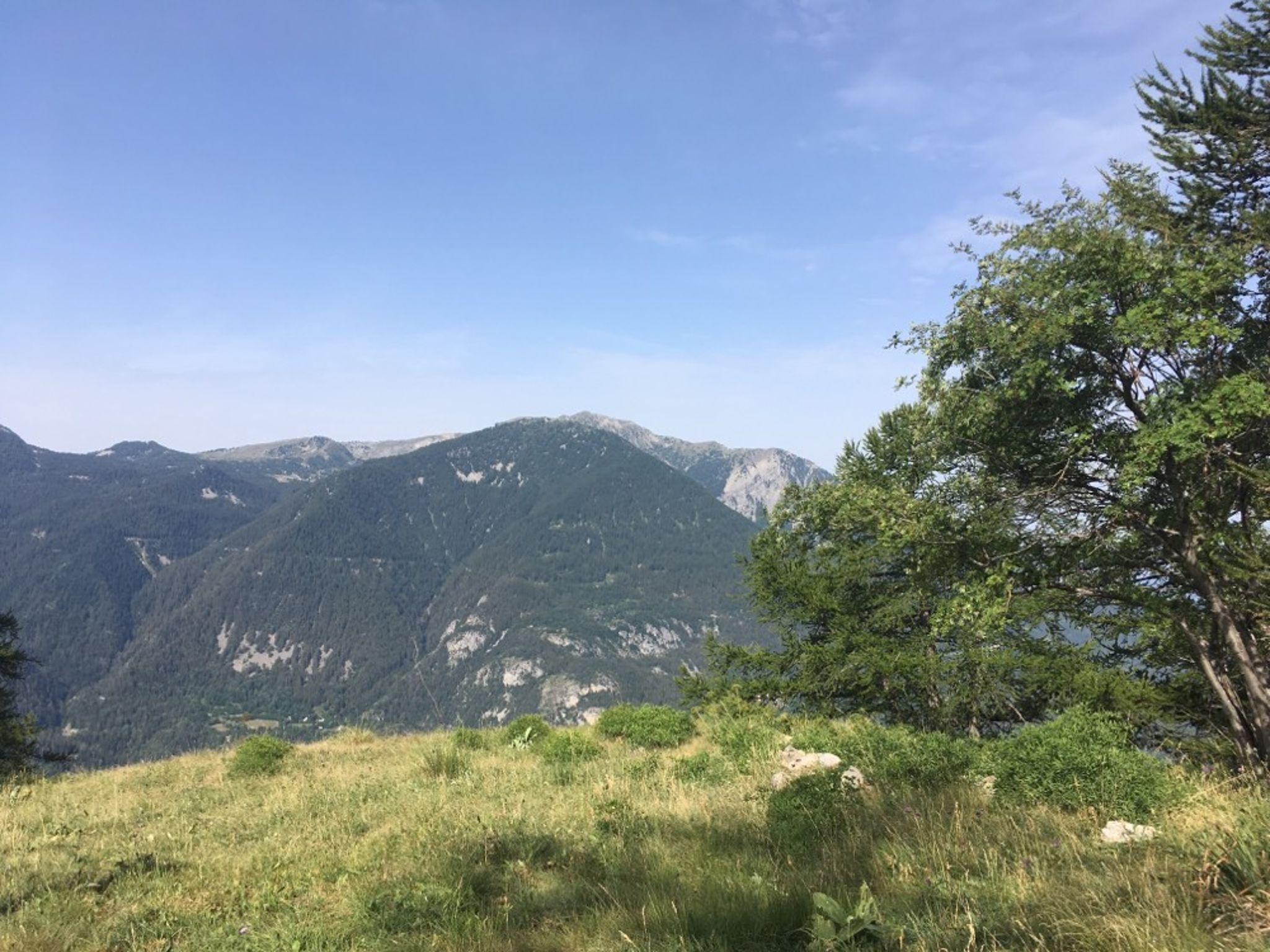
This is a short and easy trail near Méolans, ideal for a family outing. The path is shaded and leads to a beautiful panorama of the valley and the Ubaye.

Already more than 200,000 users!
Uphill
124m
Highest point
1095m
Downhill
124m
Lowest point
971m
Route type
There and back
Download the map on your smartphone to save battery and rest assured to always keep access to the route, even without signal.
Includes IGN France and Swisstopo.
I indicate whether dogs are allowed or prohibited on this trail
All year
0 ratings
Also enjoy:

Already more than 200,000 users!