Uphill
286m
Length
8km
Duration
2h30min
Elev gain
286m
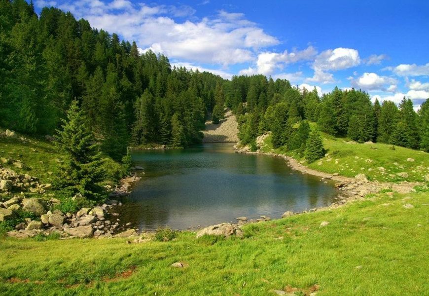
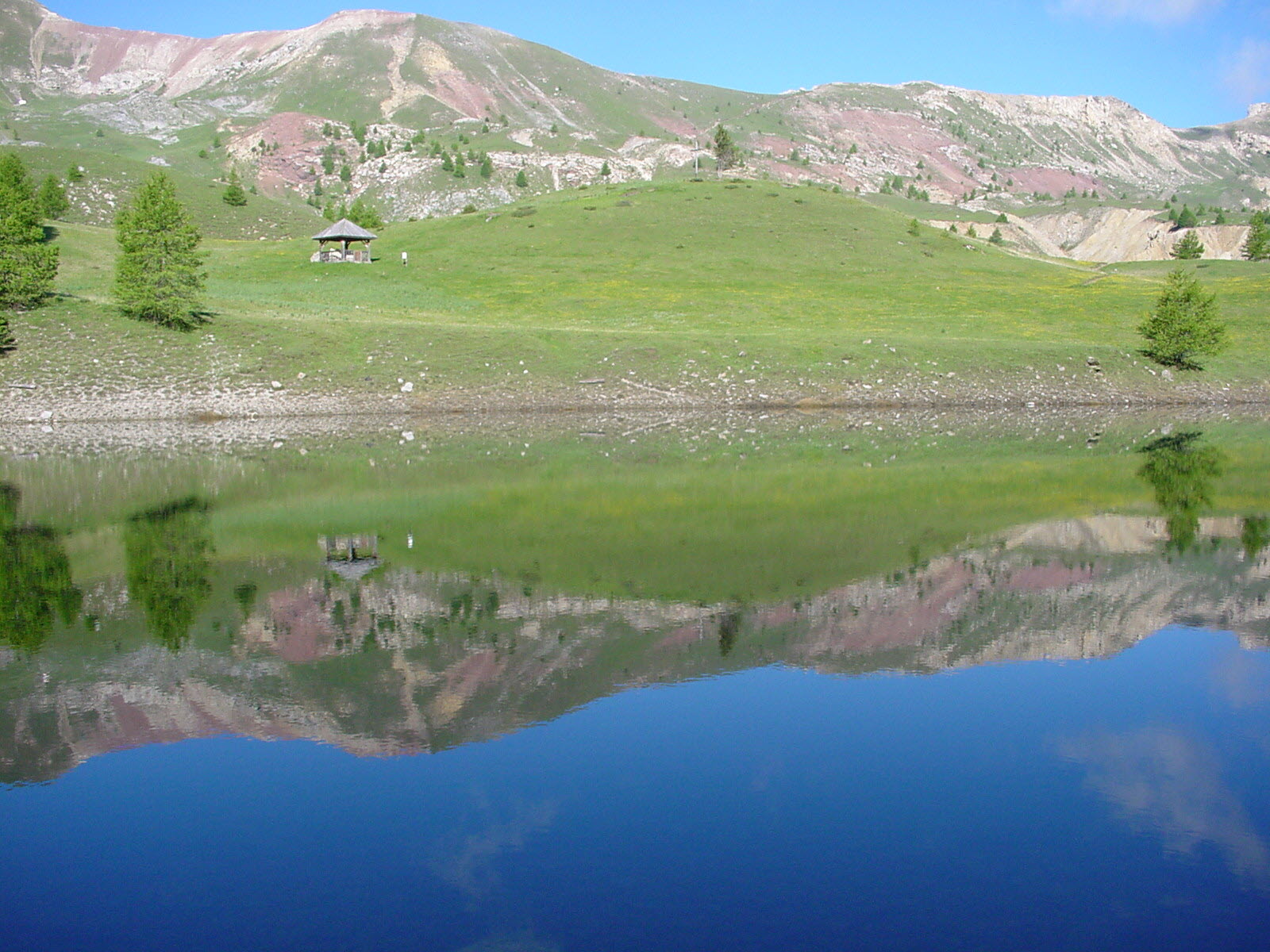
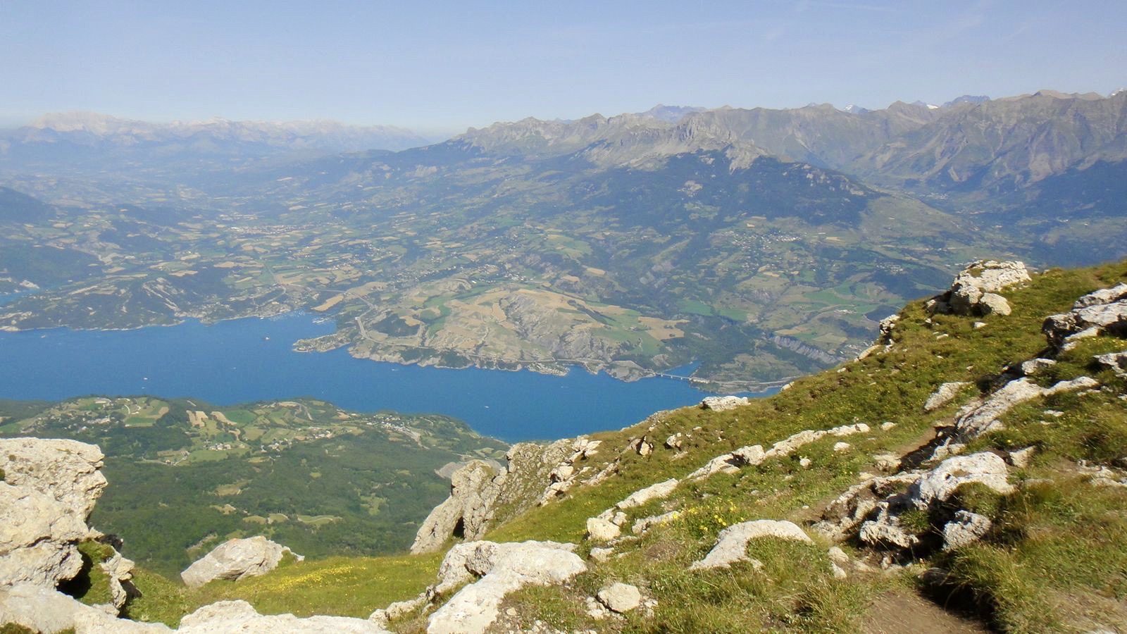
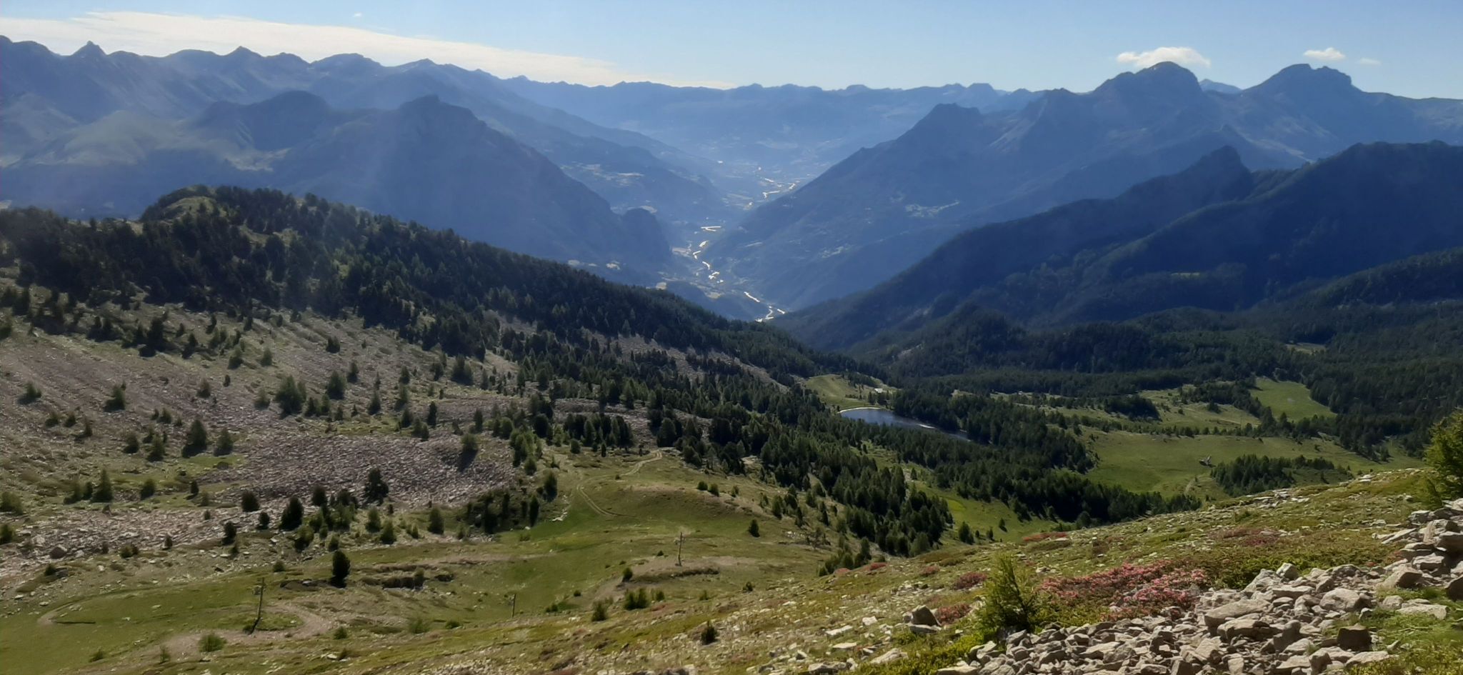
Charming hike starting from the Col Bas car park. The first kilometer is a bit rough but quickly offers a nice view of the Seyne valley, before crossing a ski resort. The trail leads to Lac Noir which is nestled at just over 2000 metres of elevation.

Already more than 200,000 users!
Uphill
286m
Highest point
2152m
Downhill
286m
Lowest point
1911m
Route type
There and back
Download the map on your smartphone to save battery and rest assured to always keep access to the route, even without signal.
Includes IGN France and Swisstopo.
I indicate whether dogs are allowed or prohibited on this trail
From May to September
0 ratings
Also enjoy:

Already more than 200,000 users!