Uphill
702m
Length
12km
Duration
5h
Elev gain
702m
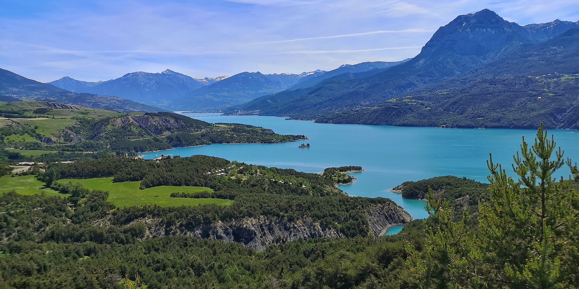
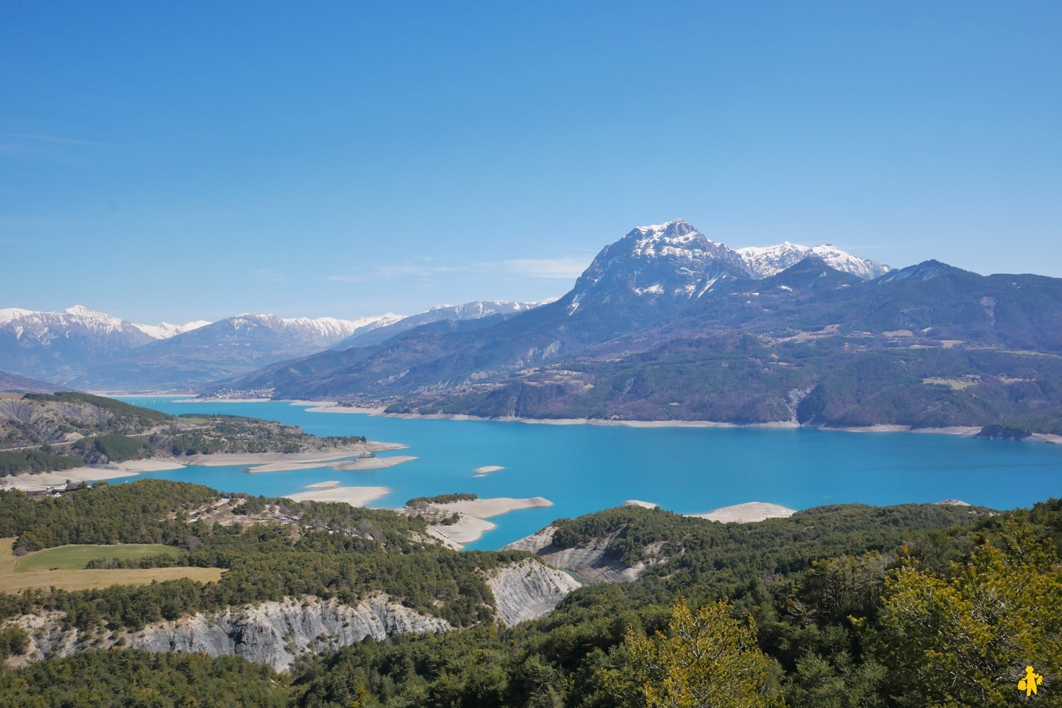
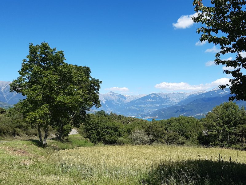
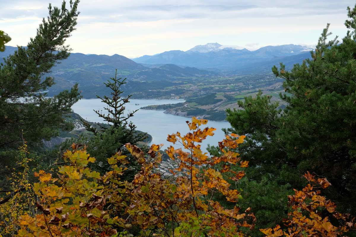
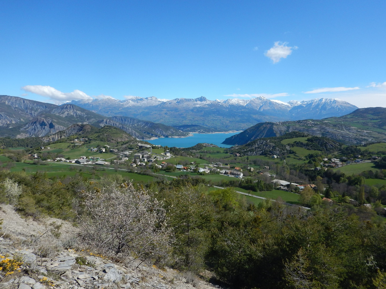
Pretty path which alternates between forest and completely clear view, then offers a beautiful belvedere on the Lake of Serre-Ponçon.

Already more than 200,000 users!
Uphill
702m
Highest point
1577m
Downhill
702m
Lowest point
982m
Route type
Loop
Download the map on your smartphone to save battery and rest assured to always keep access to the route, even without signal.
Includes IGN France and Swisstopo.
I indicate whether dogs are allowed or prohibited on this trail
Can be difficult in Winter
0 ratings
Also enjoy:

Already more than 200,000 users!