Uphill
519m
Length
7km
Duration
3h30min
Elev gain
519m
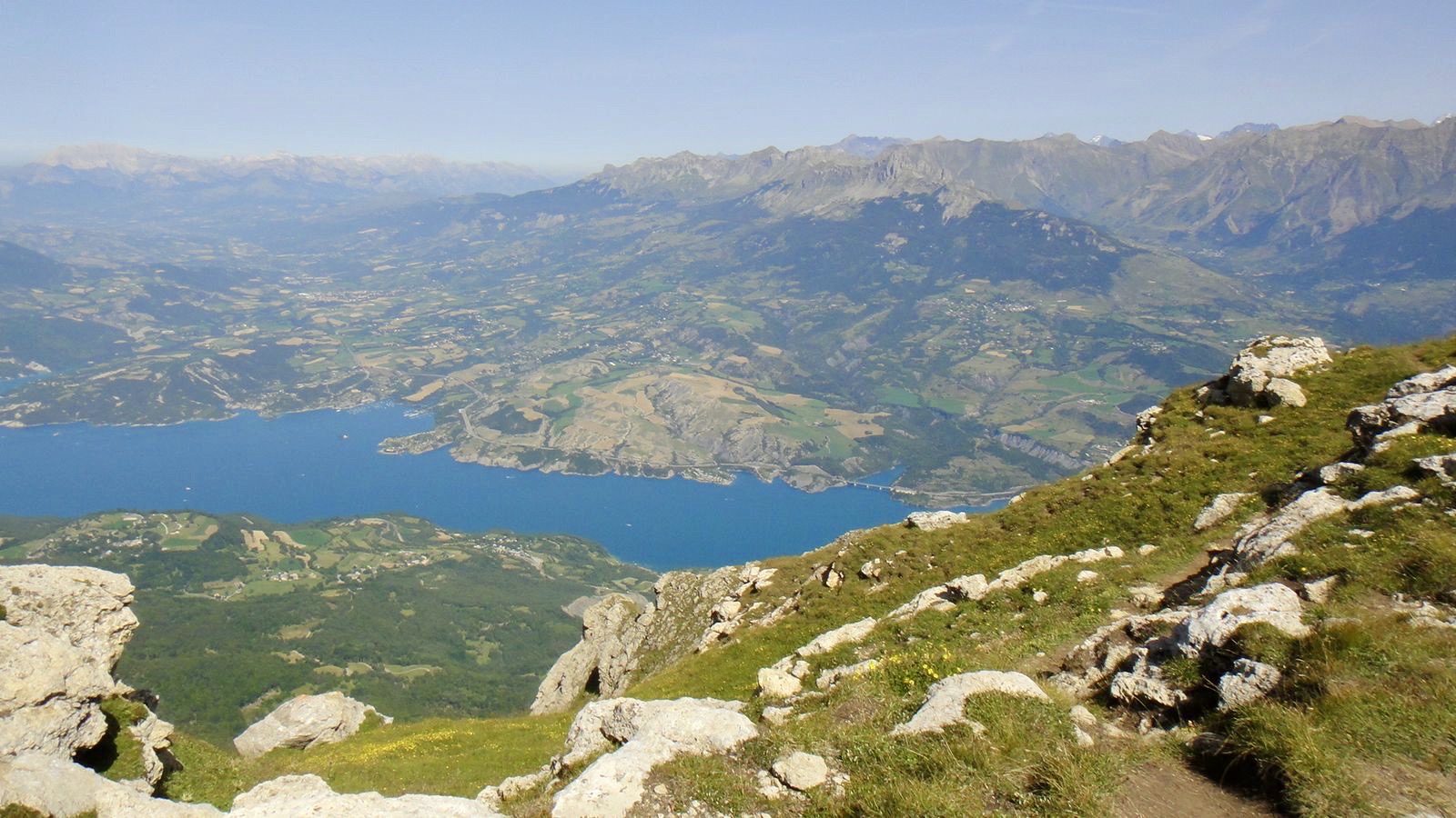
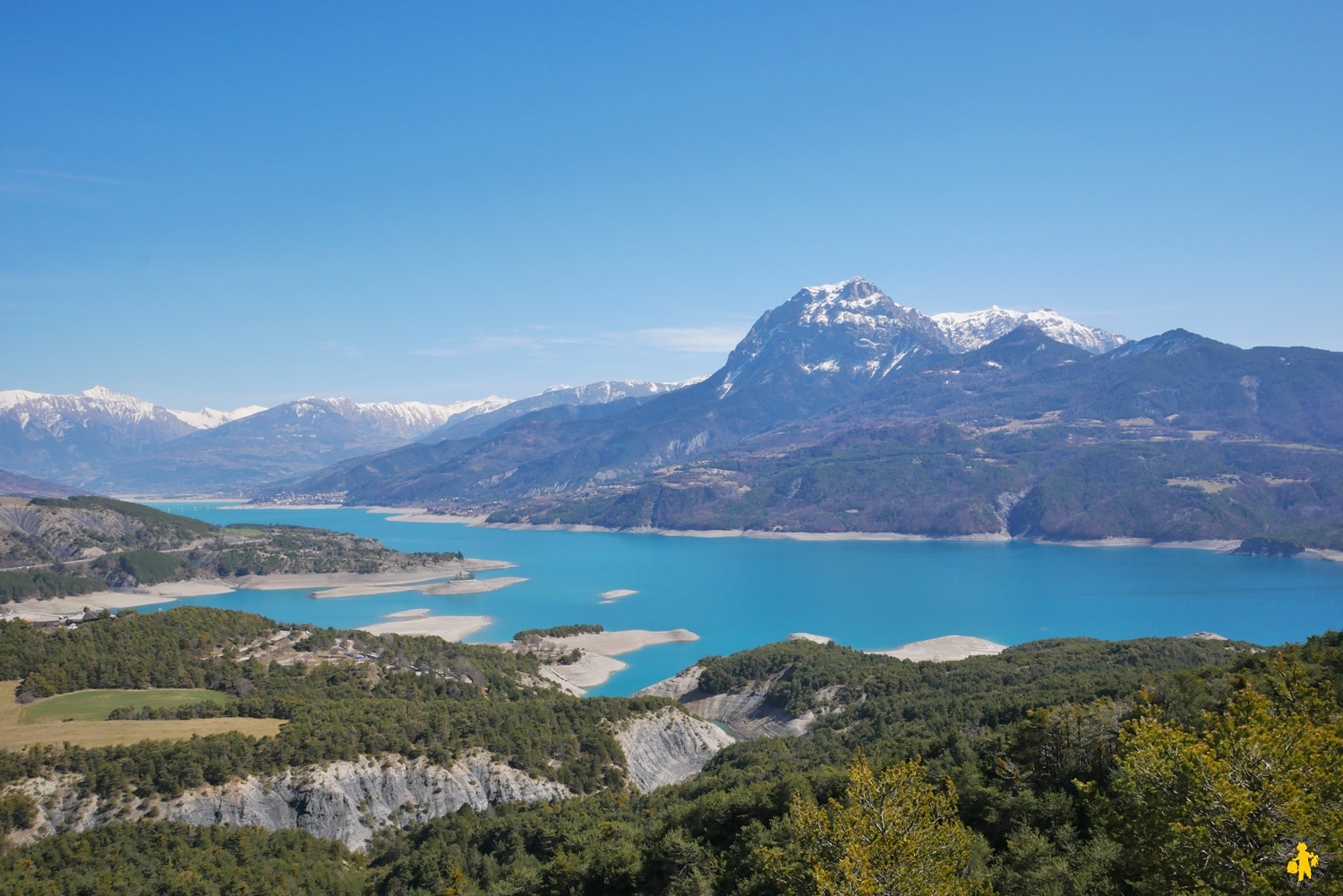
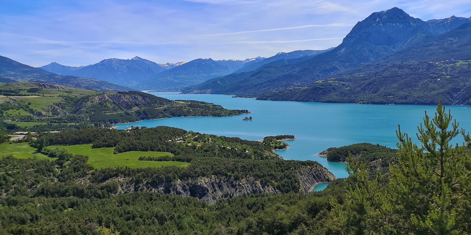
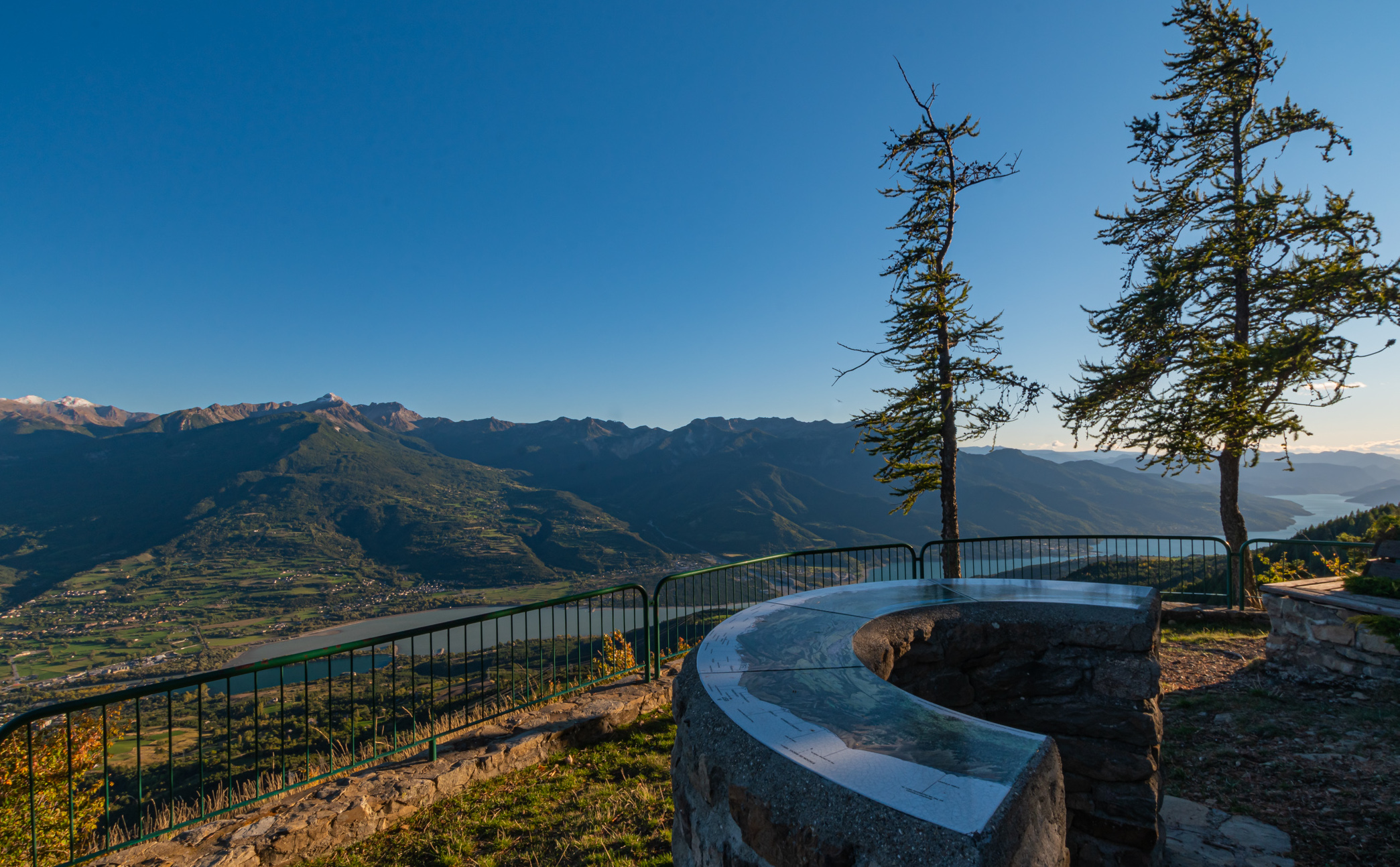
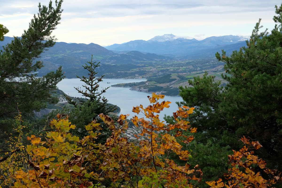
Departing from Savines-le-Lac, this hike takes place mainly in the forest. Once the Pierre Arnoux belvedere (1270 m) is reached, the view overlooking the Serre-Ponçon lake is superb. Possibility of picnicking, with "fire" areas provided for barbecues.

Already more than 200,000 users!
Uphill
519m
Highest point
1294m
Downhill
519m
Lowest point
790m
Route type
Loop
Download the map on your smartphone to save battery and rest assured to always keep access to the route, even without signal.
Includes IGN France and Swisstopo.
I indicate whether dogs are allowed or prohibited on this trail
Can be difficult in Winter
1 rating
Also enjoy:

Already more than 200,000 users!