Uphill
782m
Length
12km
Duration
5h30min
Elev gain
782m
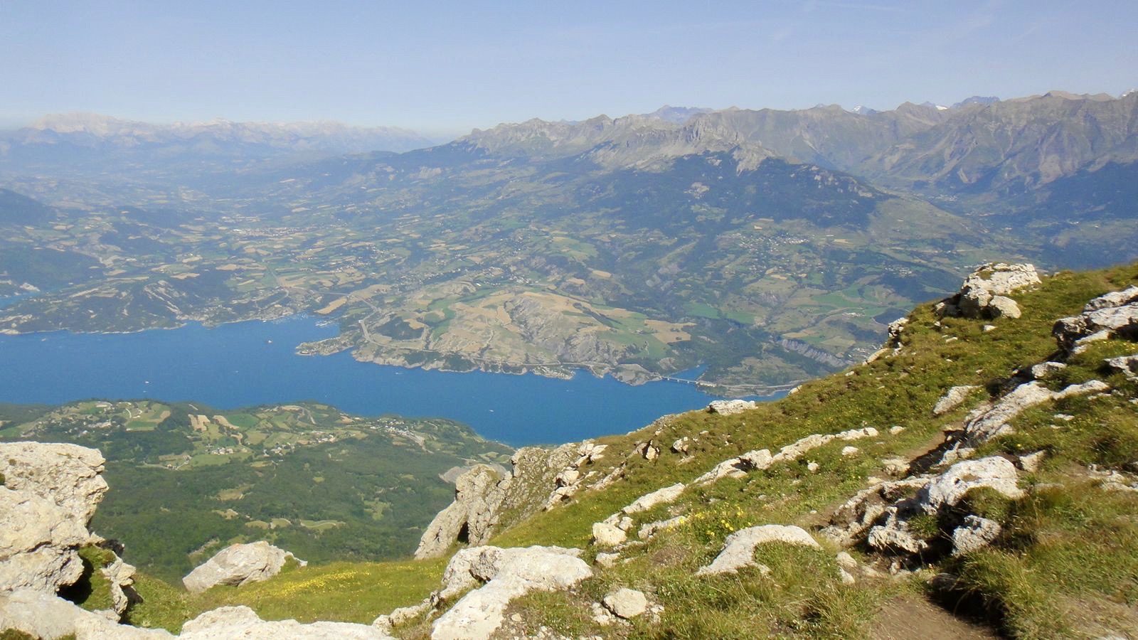
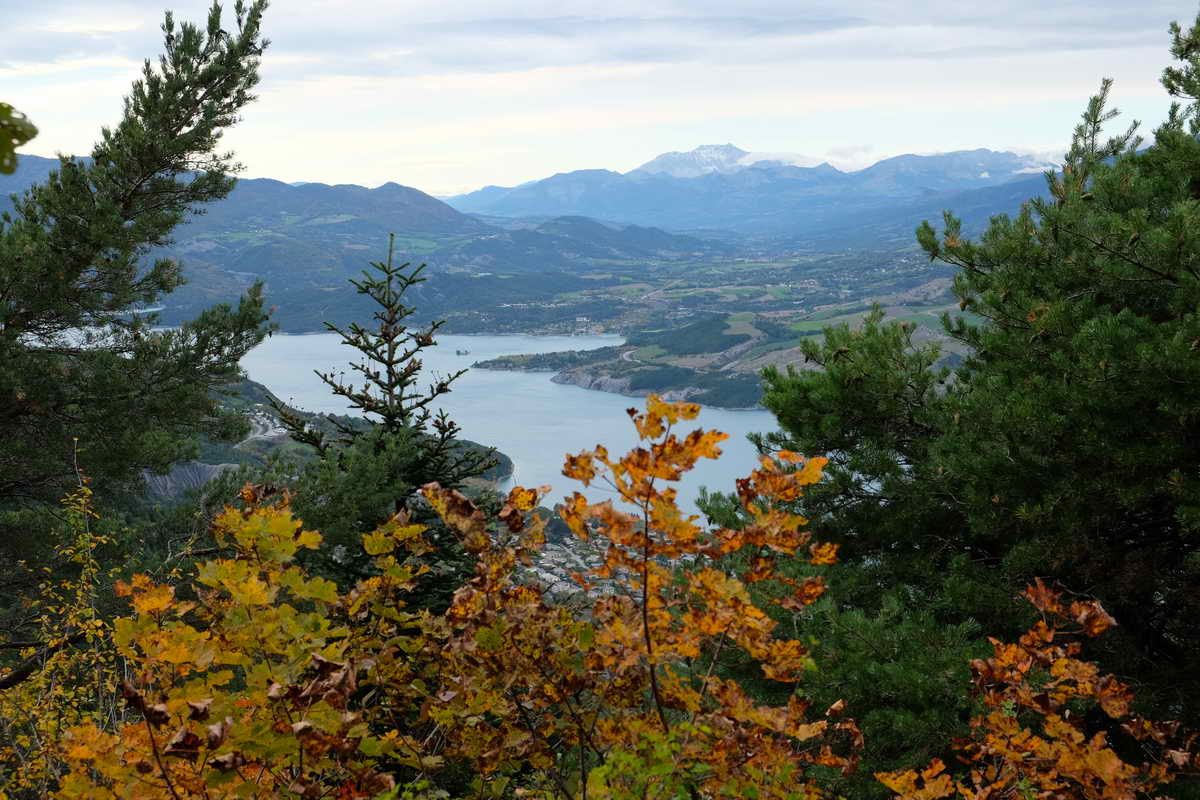
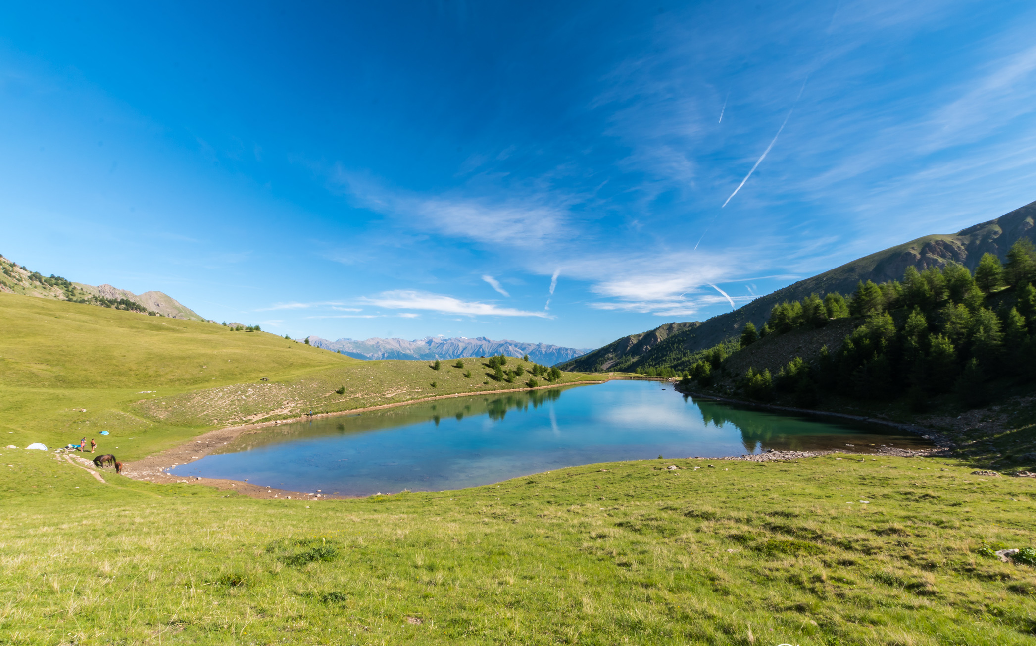
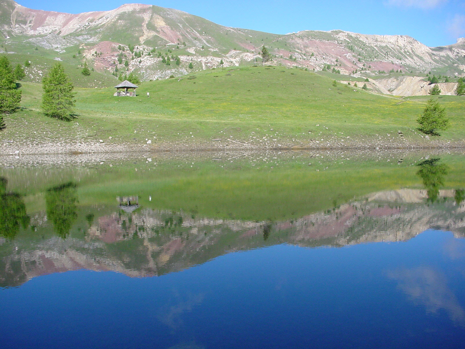
Hike to the Cirque de Morgon offering many points of interest: the Draye plateau, the Cirque de Bragousse and the Serre-Ponçon lake are visible on the route. The lake and the Saint-Pierre chapel are also a relaxing place for a halfway break.

Already more than 200,000 users!
Uphill
782m
Highest point
2102m
Downhill
782m
Lowest point
1552m
Route type
Loop
Download the map on your smartphone to save battery and rest assured to always keep access to the route, even without signal.
Includes IGN France and Swisstopo.
I indicate whether dogs are allowed or prohibited on this trail
From May to September
0 ratings
Also enjoy:

Already more than 200,000 users!