Uphill
575m
Length
8km
Duration
4h
Elev gain
575m
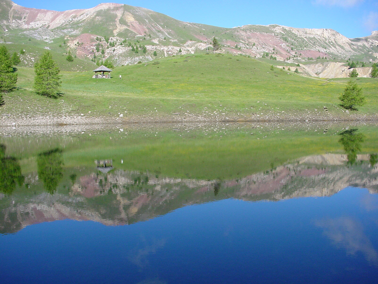
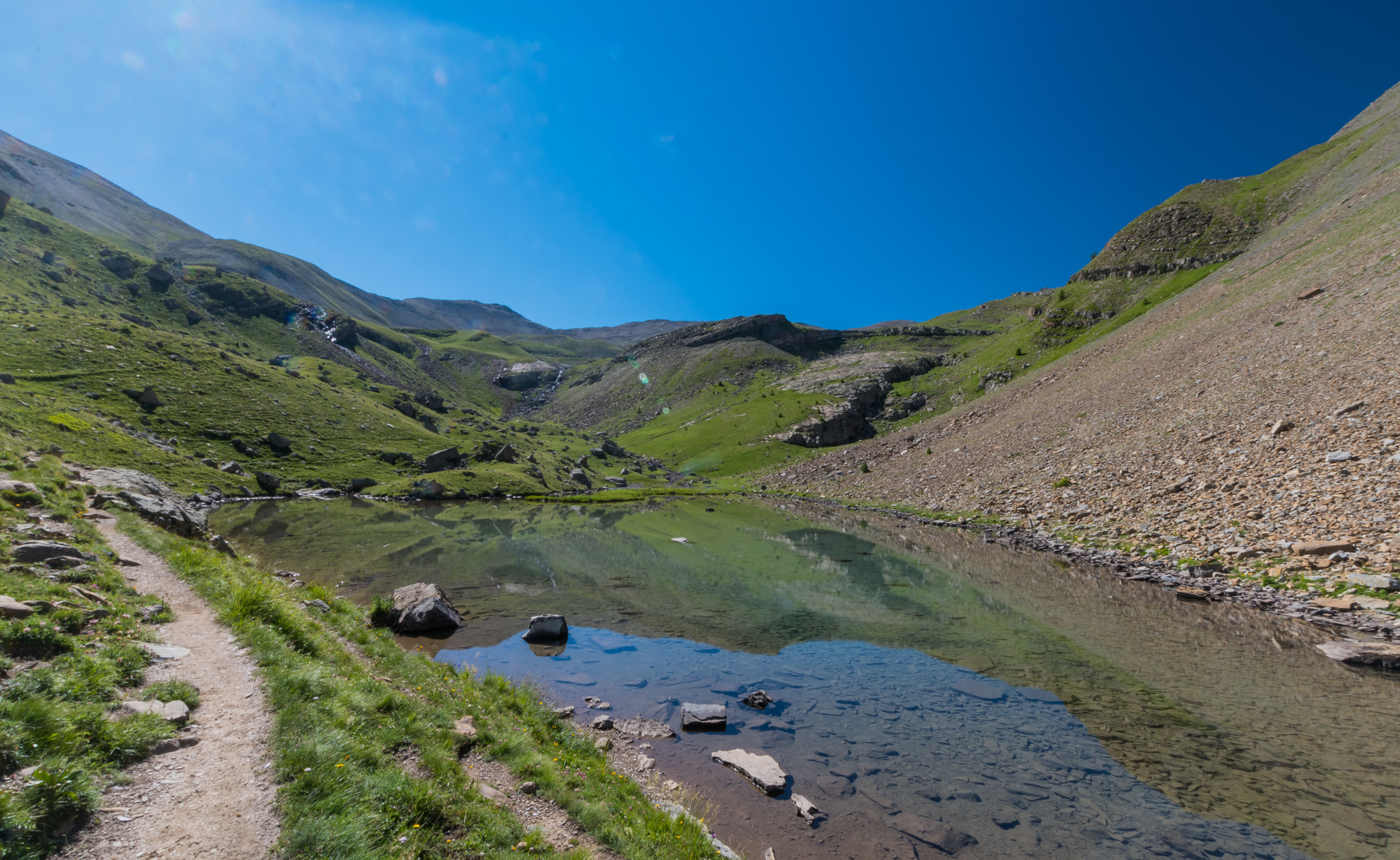
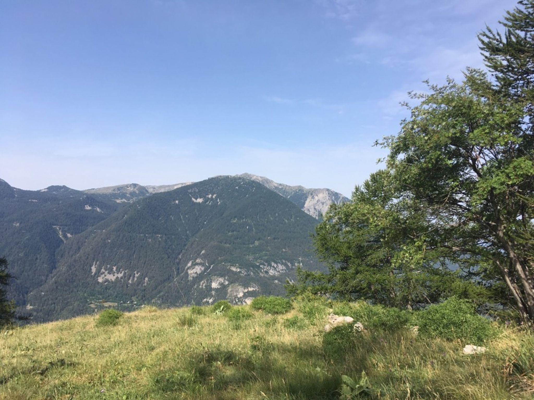
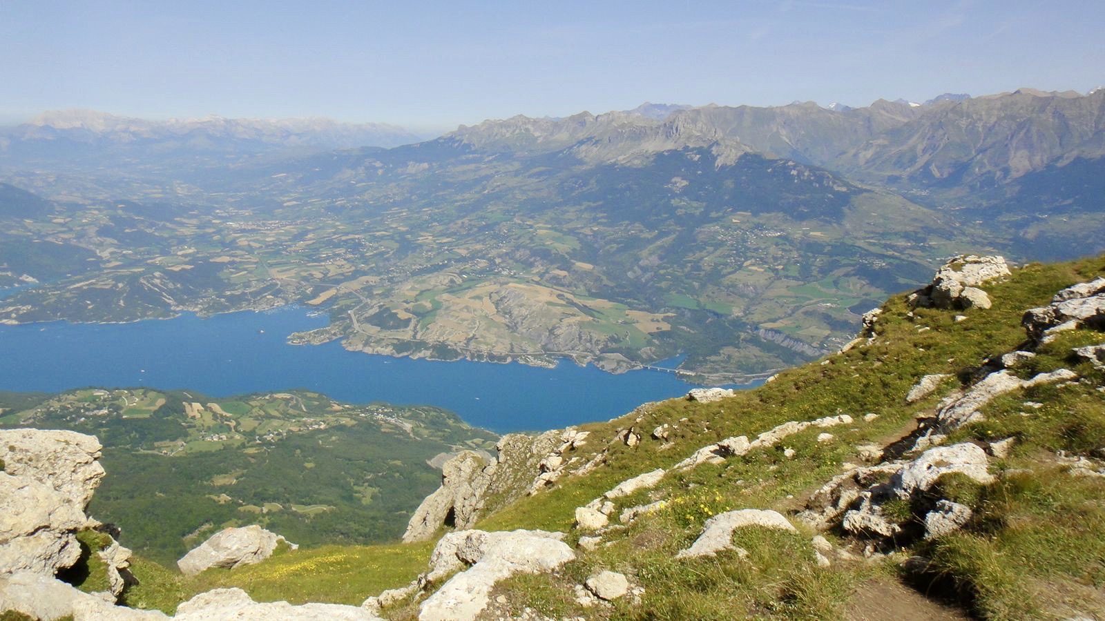
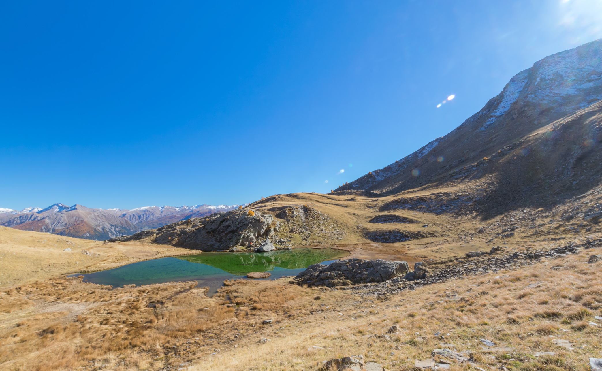
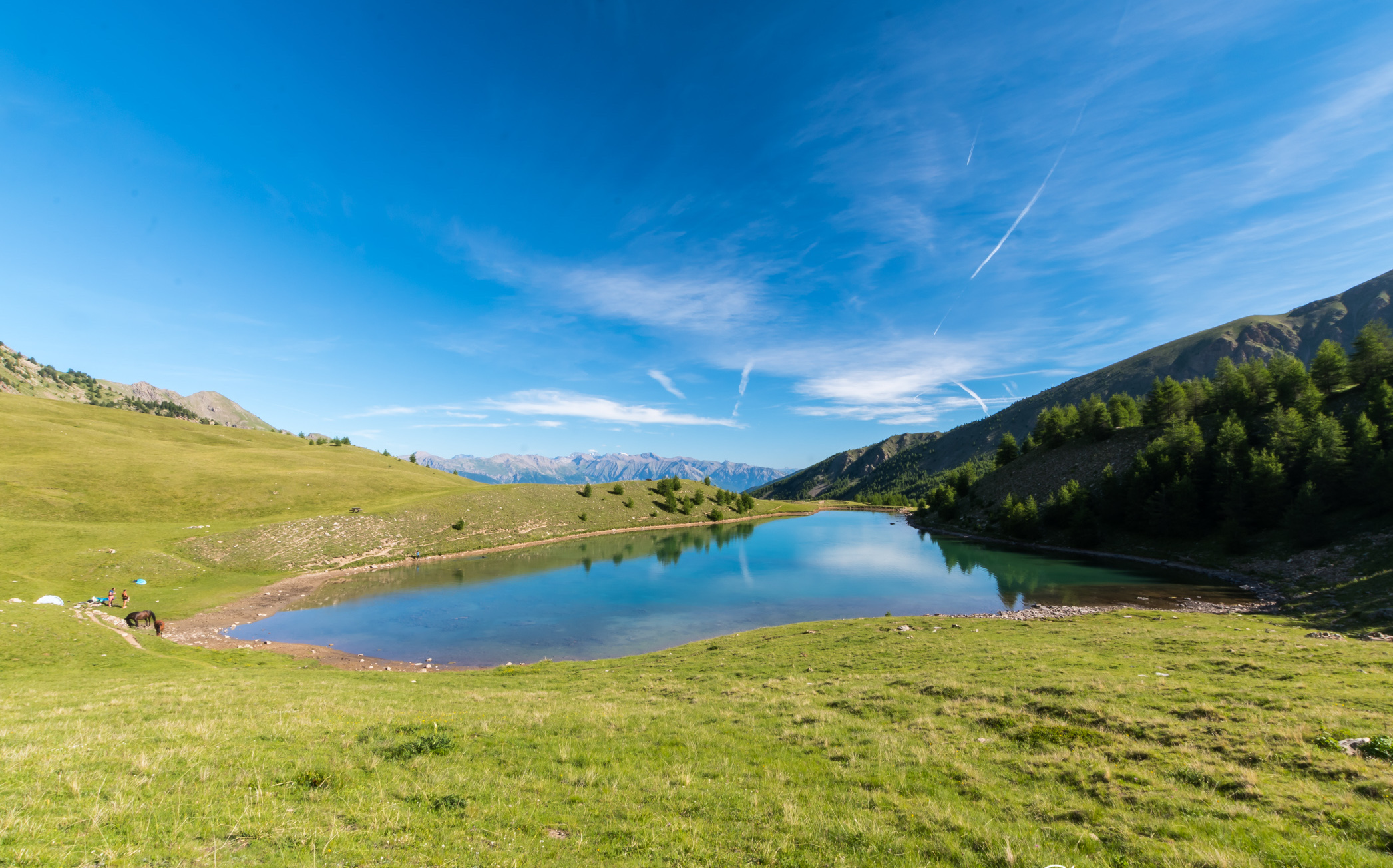
A challenging hike, magnificent landscapes and the famous Lac Sainte-Marguerite on arrival. What more could you ask for? Ah yes, the possibility of seeing marmots, cows and chamois with a little luck.

Already more than 200,000 users!
Uphill
575m
Highest point
2245m
Downhill
575m
Lowest point
1661m
Route type
There and back
Download the map on your smartphone to save battery and rest assured to always keep access to the route, even without signal.
Includes IGN France and Swisstopo.
I indicate whether dogs are allowed or prohibited on this trail
From May to September
3 ratings
Cette randonnée est difficile.
Also enjoy:

Already more than 200,000 users!