Uphill
781m
Length
9km
Duration
5h30min
Elev gain
781m
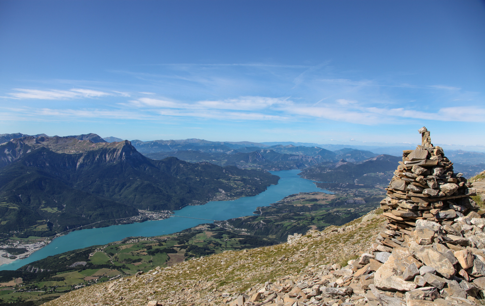
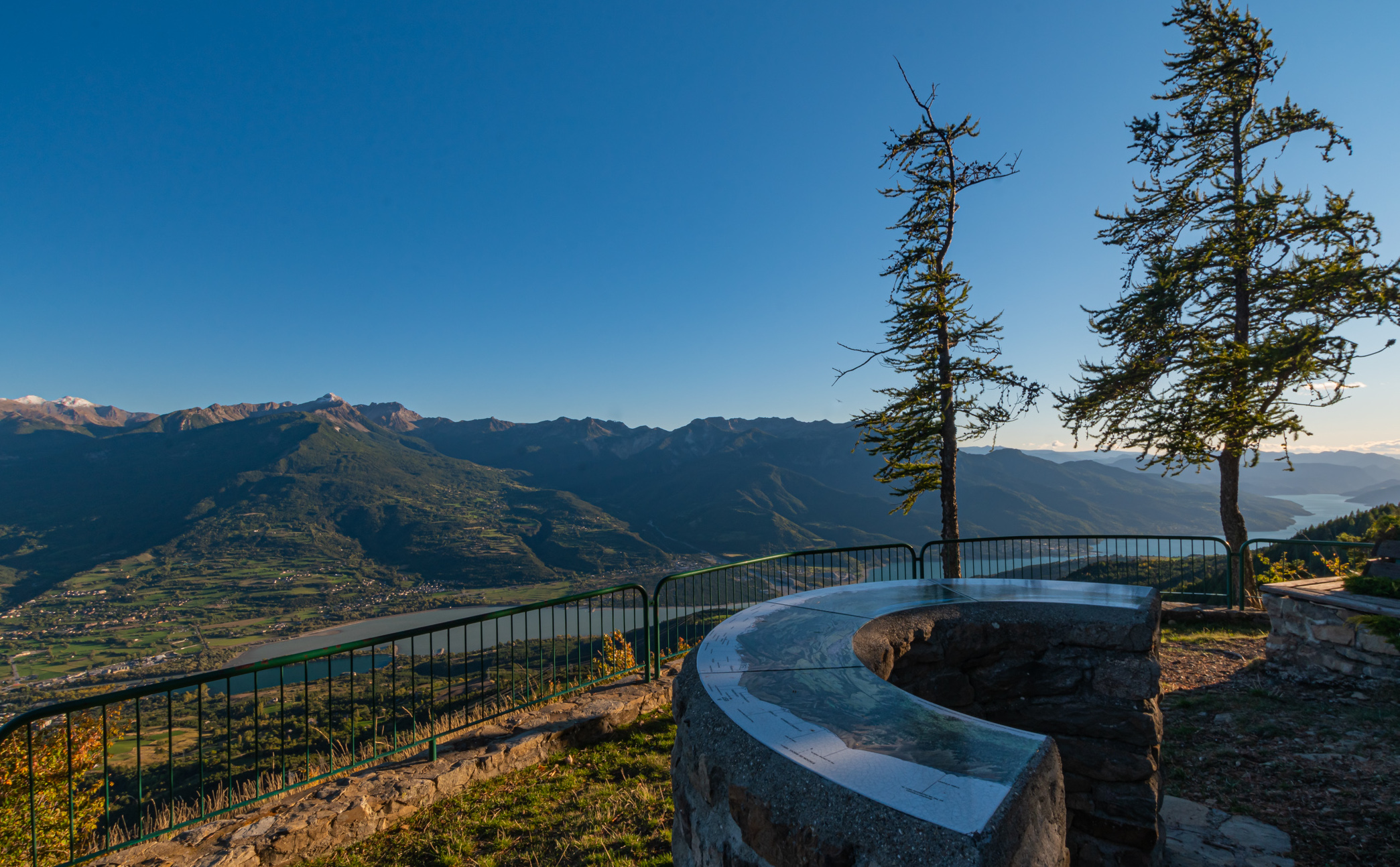
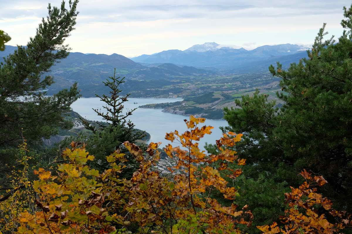
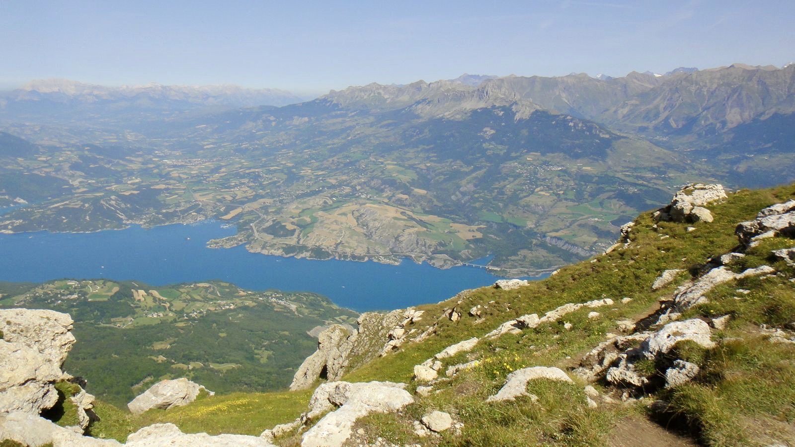
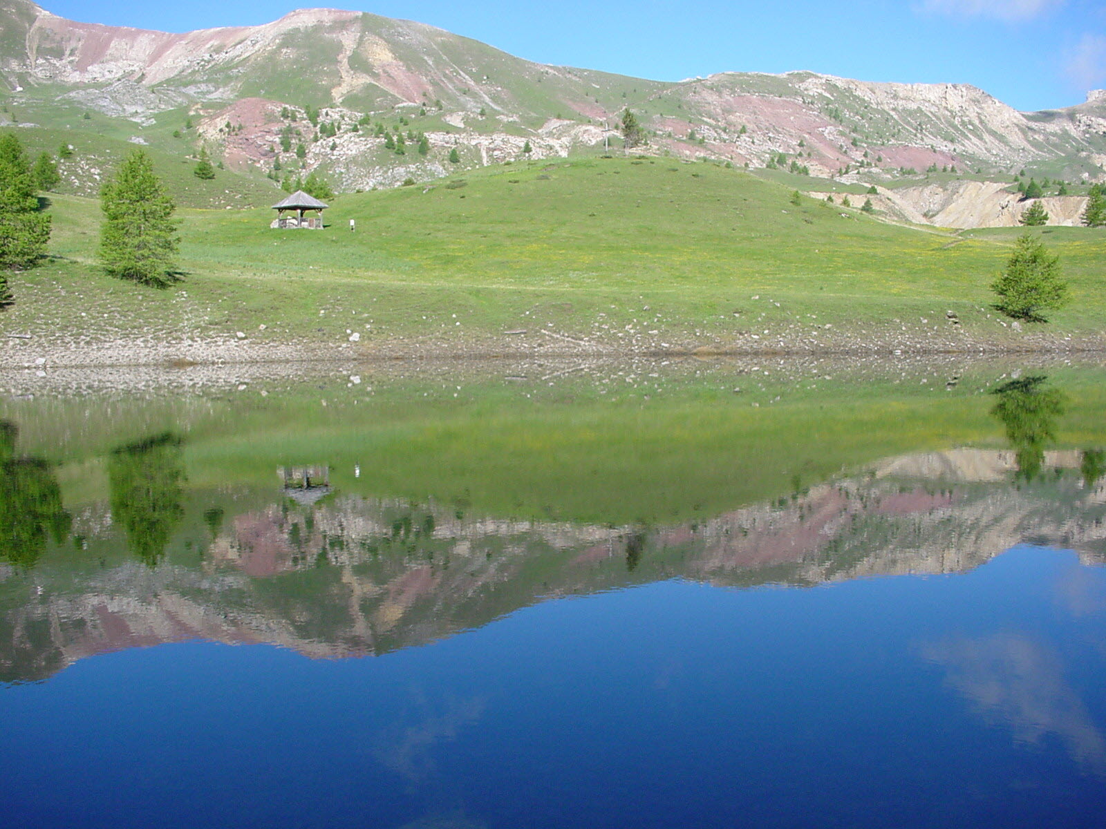
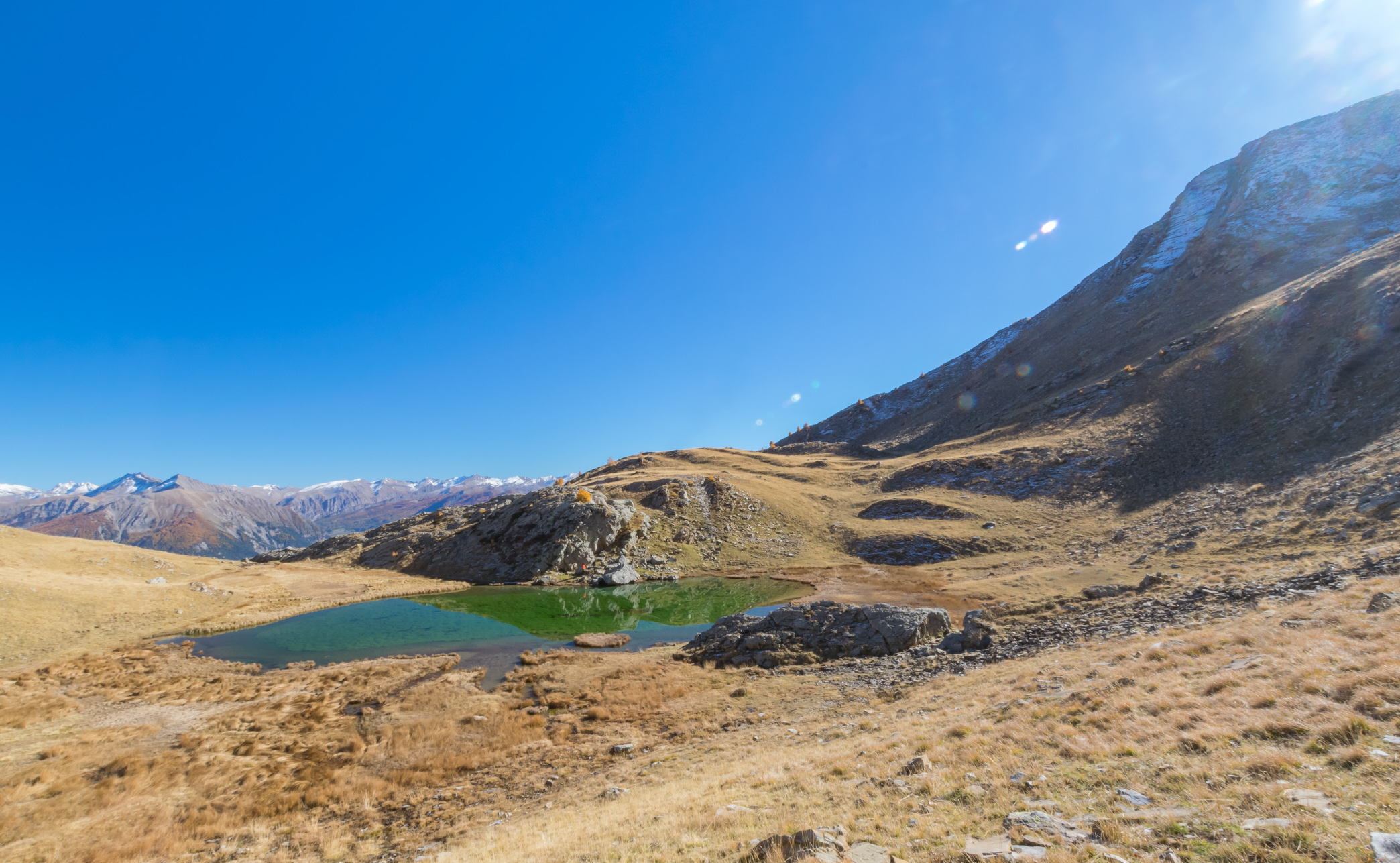
Pretty hike starting from Folampelle, going to the Fontainiers refuge then to the Aiguille hut. The landscape at Lac de l'Hivernet at an altitude of 2,365 meters is very beautiful.

Already more than 200,000 users!
Uphill
781m
Highest point
2359m
Downhill
781m
Lowest point
1574m
Route type
There and back
Download the map on your smartphone to save battery and rest assured to always keep access to the route, even without signal.
Includes IGN France and Swisstopo.
I indicate whether dogs are allowed or prohibited on this trail
From May to September
2 ratings
Ballade sympa, pas si difficile. Les 2/3 du parcours à l'abris des mélèzes, mais c'est vrai que le dernier km est un peu plus raide. Munissez vous de bâtons de marche, c'est mieux. Pas très fréquenté.
Also enjoy:

Already more than 200,000 users!