Uphill
979m
Length
13km
Duration
7h
Elev gain
979m
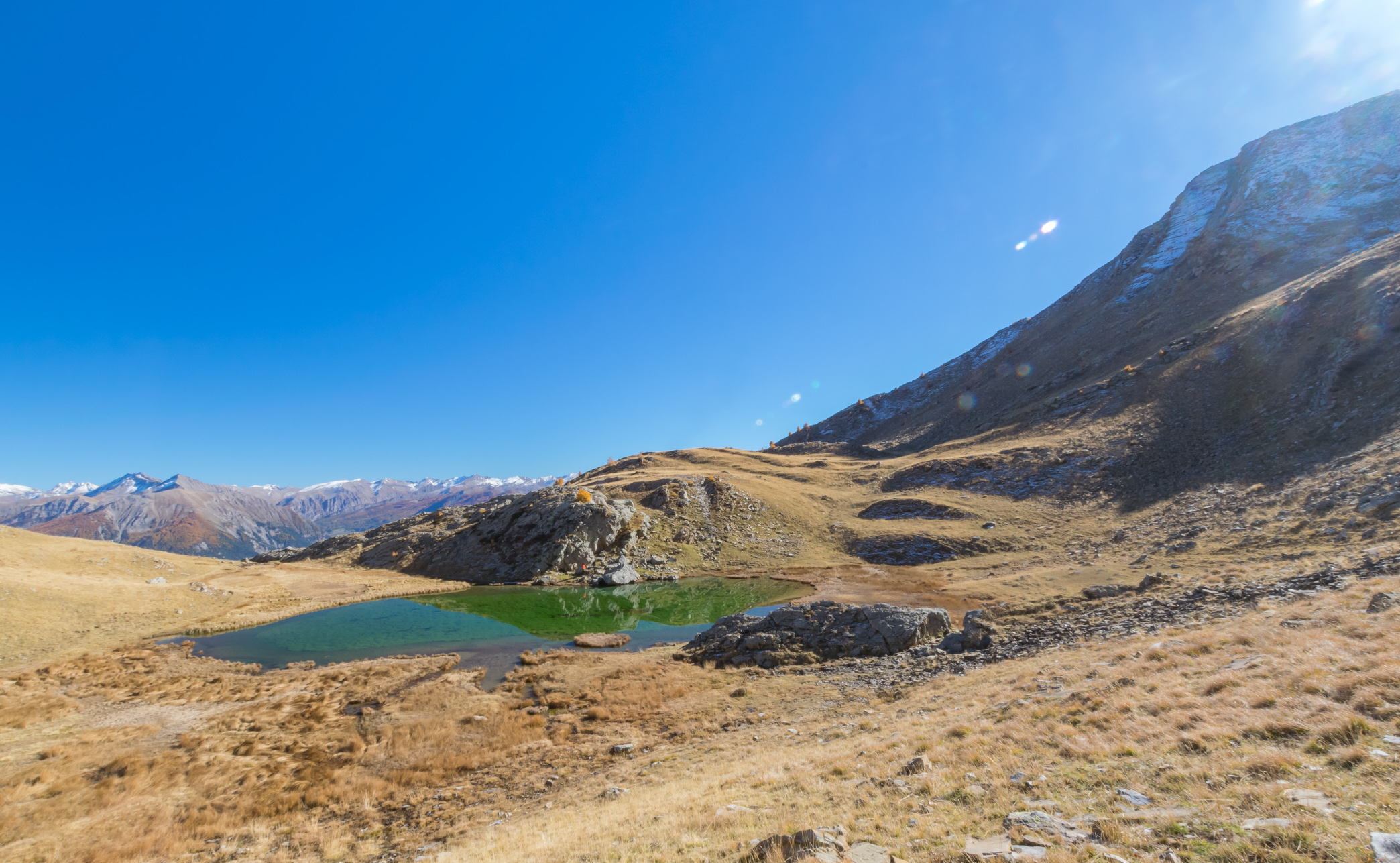
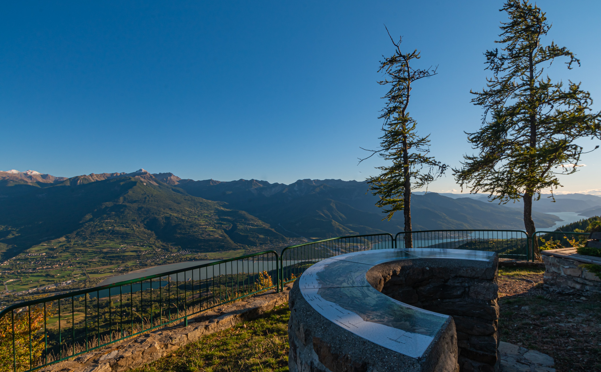
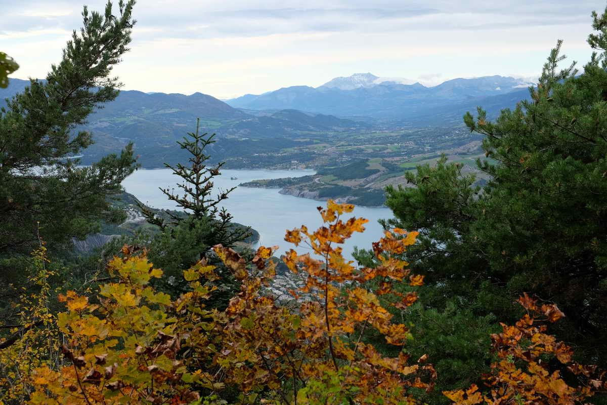
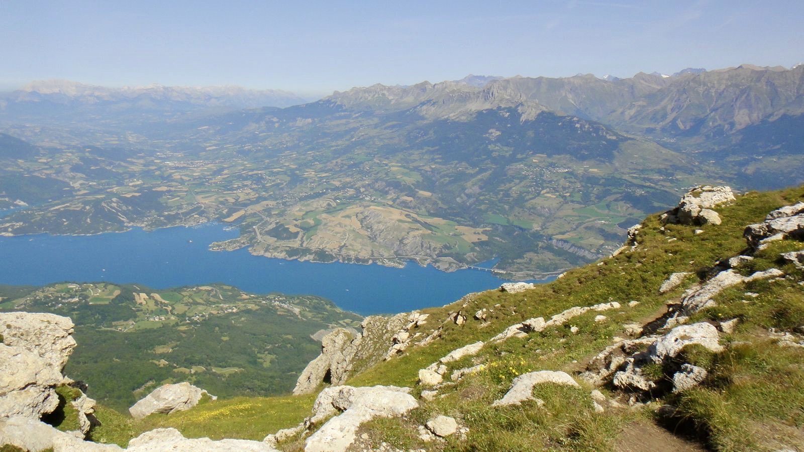
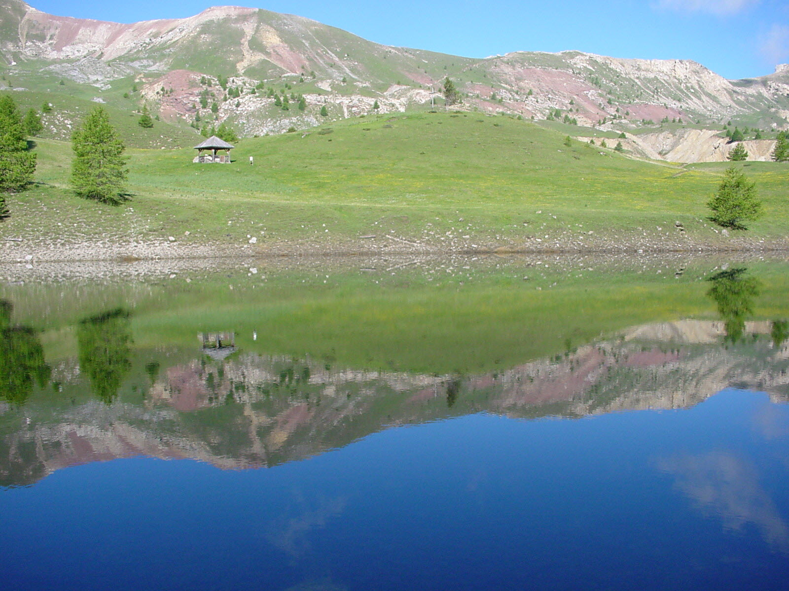
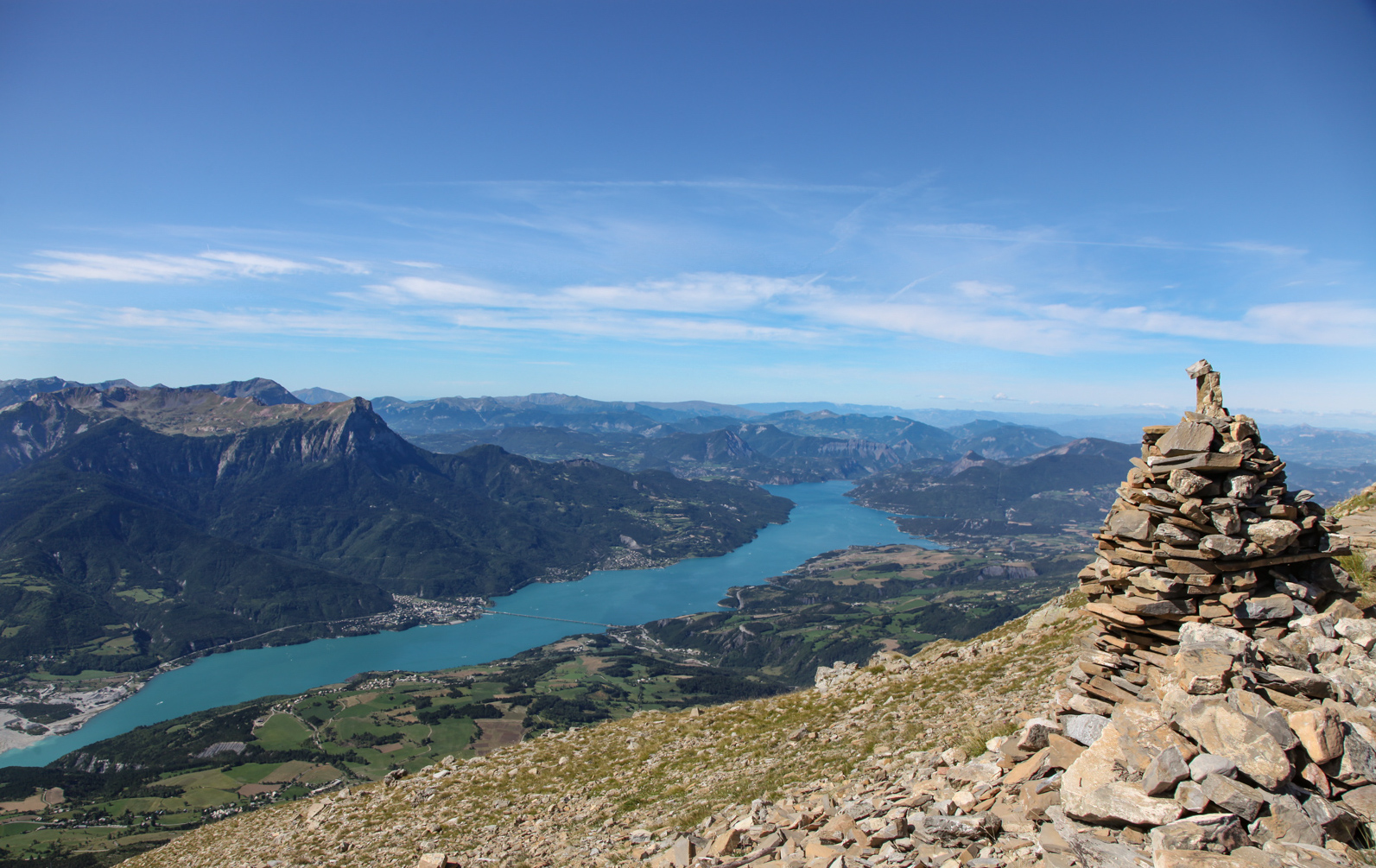
Great hike in the heart of the Ecrins, with a fairly steep and physical climb. It is possible to take a break at the chapel of Seyères. Once at Mont Guillaume (2545 m), the landscape is breathtaking.

Already more than 200,000 users!
Uphill
979m
Highest point
2533m
Downhill
979m
Lowest point
1578m
Route type
Loop
Download the map on your smartphone to save battery and rest assured to always keep access to the route, even without signal.
Includes IGN France and Swisstopo.
I indicate whether dogs are allowed or prohibited on this trail
From June to September
0 ratings
Also enjoy:

Already more than 200,000 users!