Uphill
805m
Length
11km
Duration
5h30min
Elev gain
805m
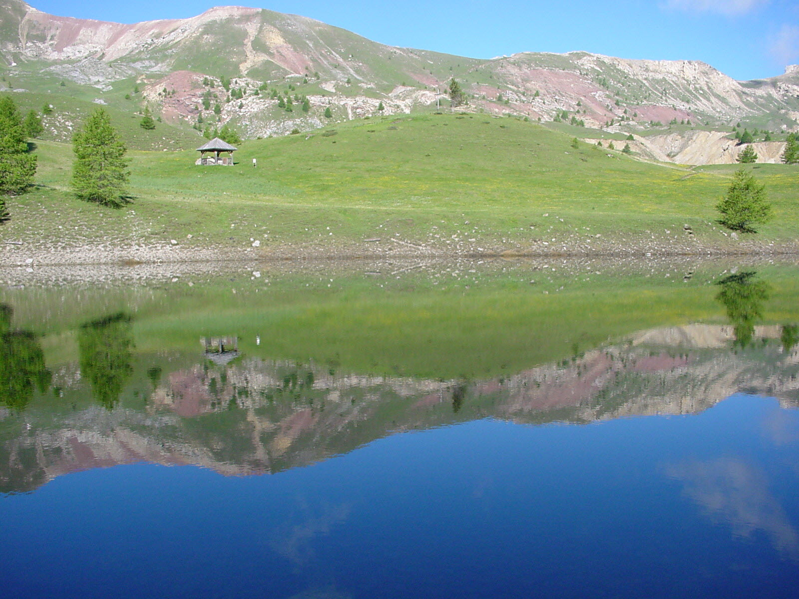
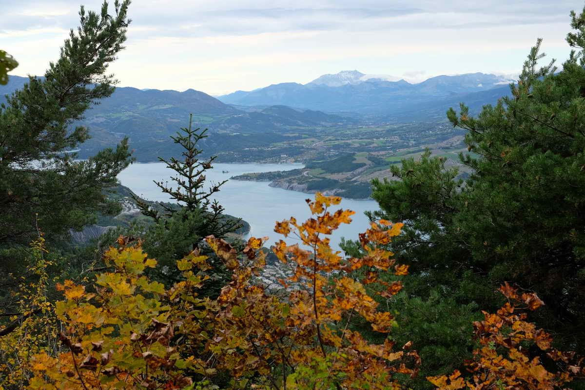
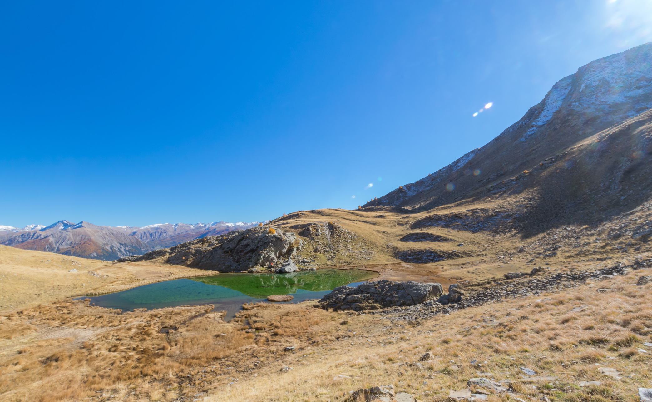
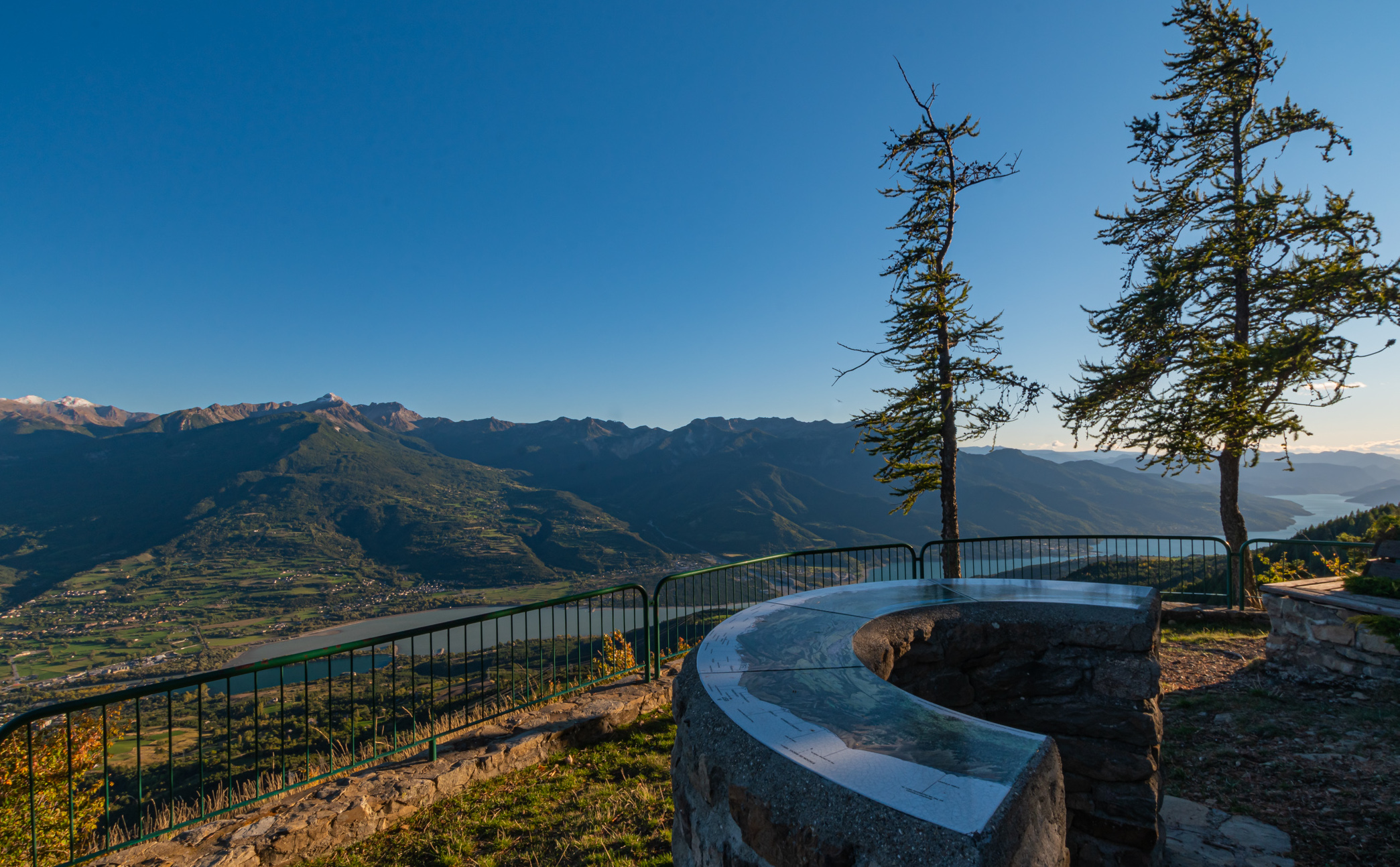
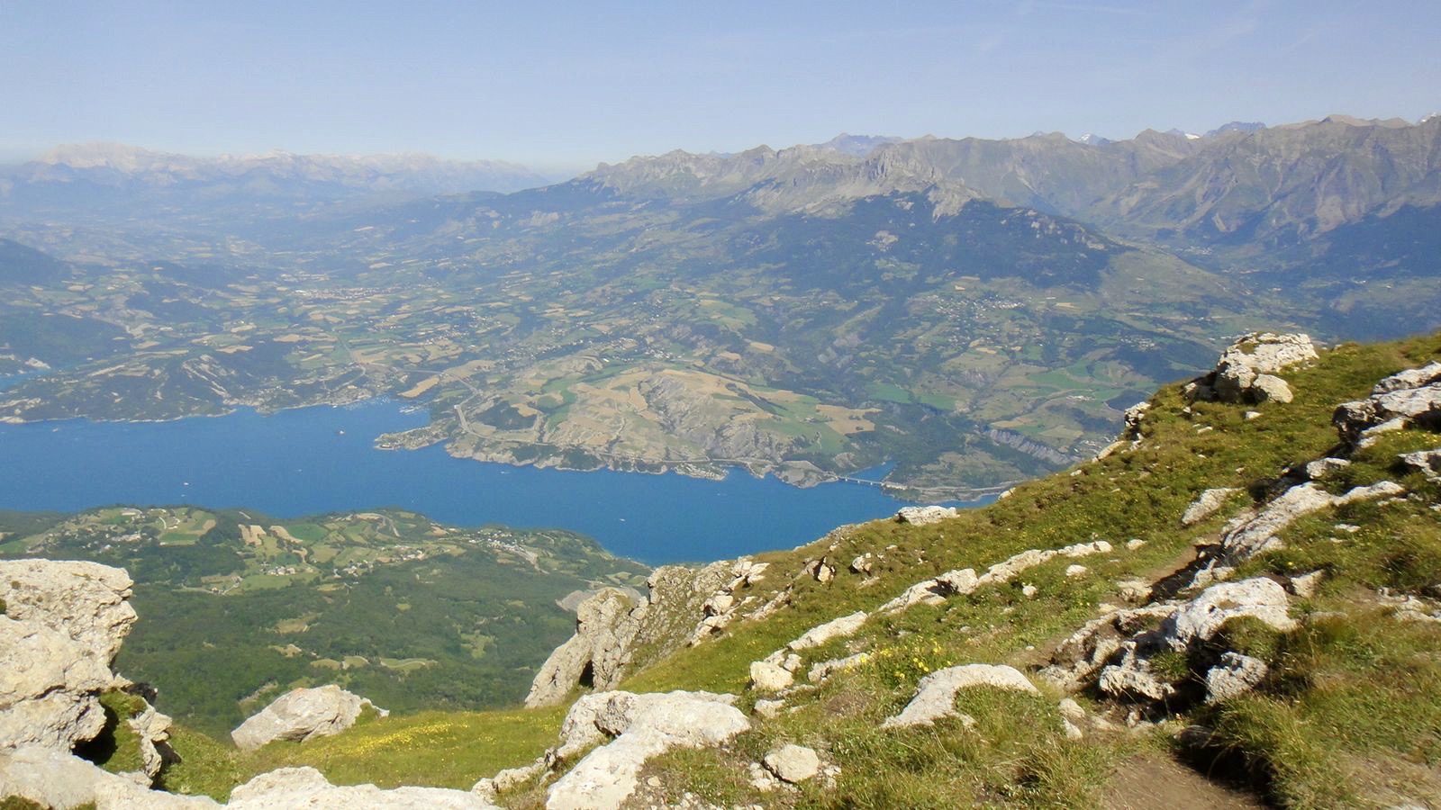
Ascent of the 2324 meters of the Pic de Morgon, offering a superb view of the lake of Serre-Ponçon.

Already more than 200,000 users!
Uphill
805m
Highest point
2308m
Downhill
805m
Lowest point
1657m
Route type
Loop
Download the map on your smartphone to save battery and rest assured to always keep access to the route, even without signal.
Includes IGN France and Swisstopo.
I indicate whether dogs are allowed or prohibited on this trail
From May to September
1 rating
Also enjoy:

Already more than 200,000 users!