Uphill
906m
Length
12km
Duration
6h30min
Elev gain
906m
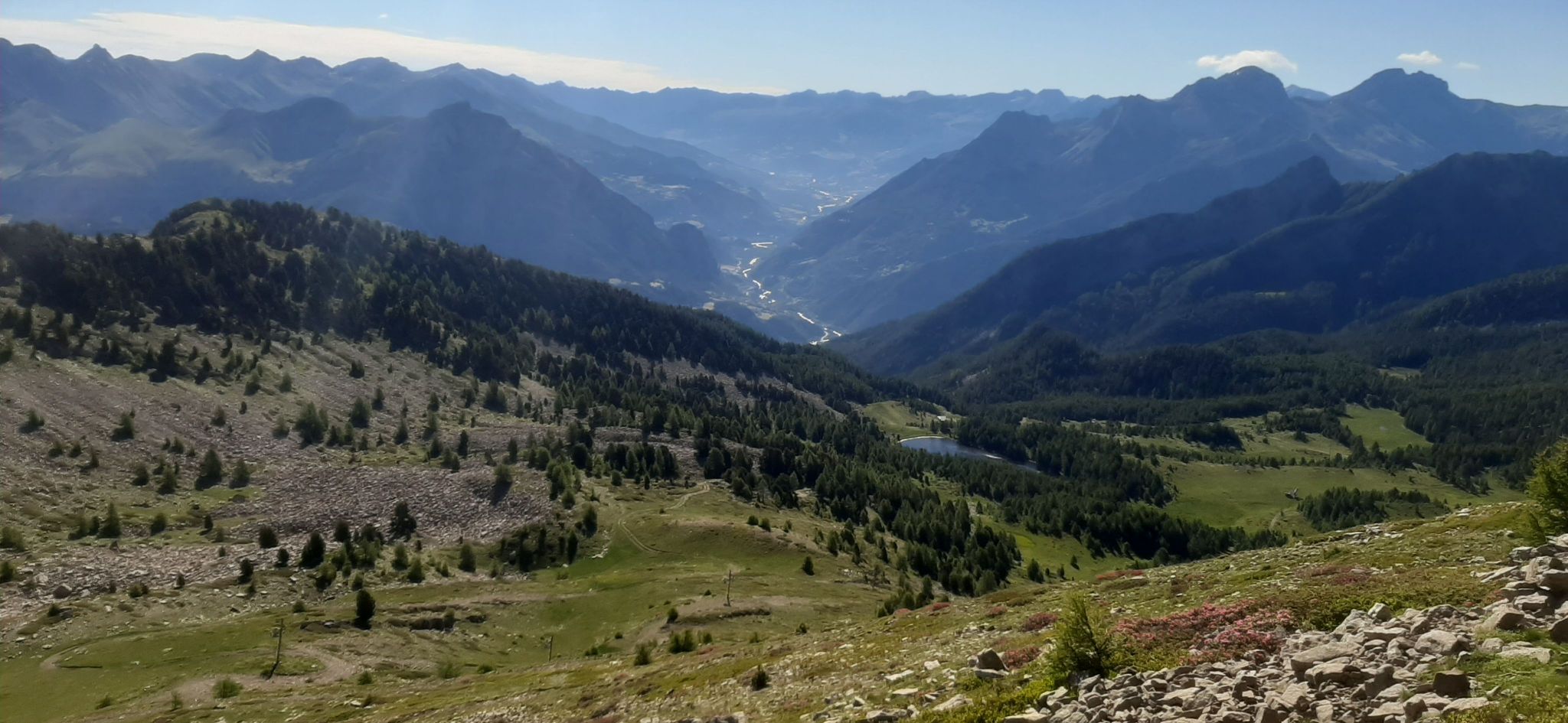
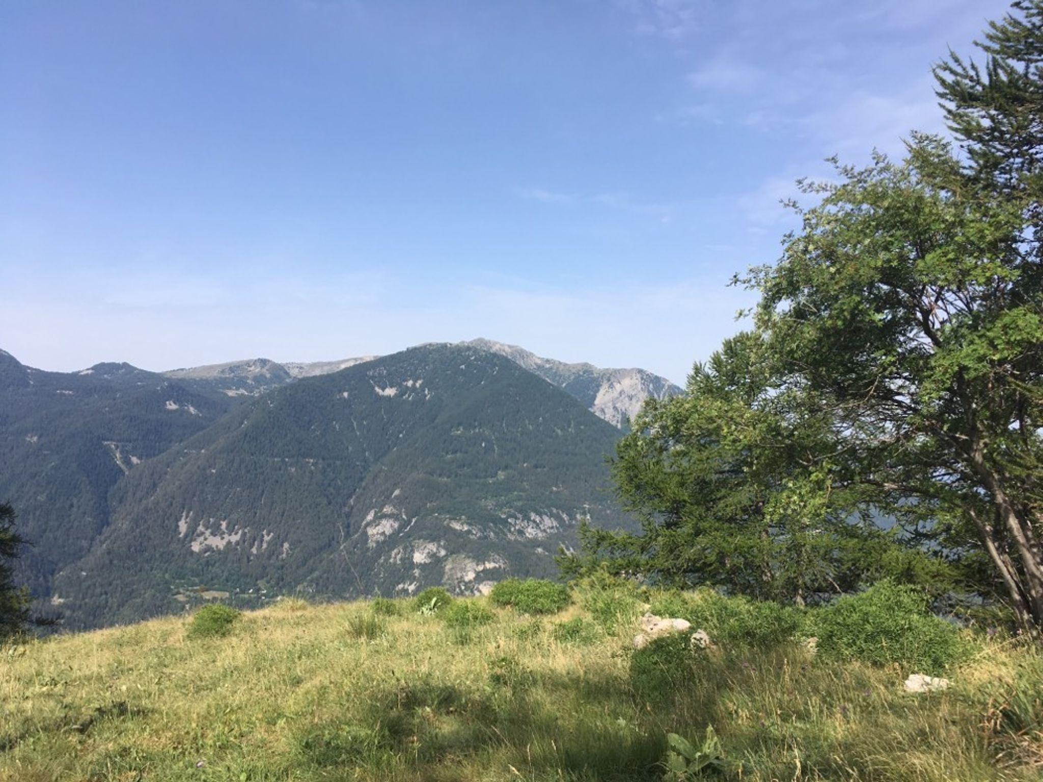
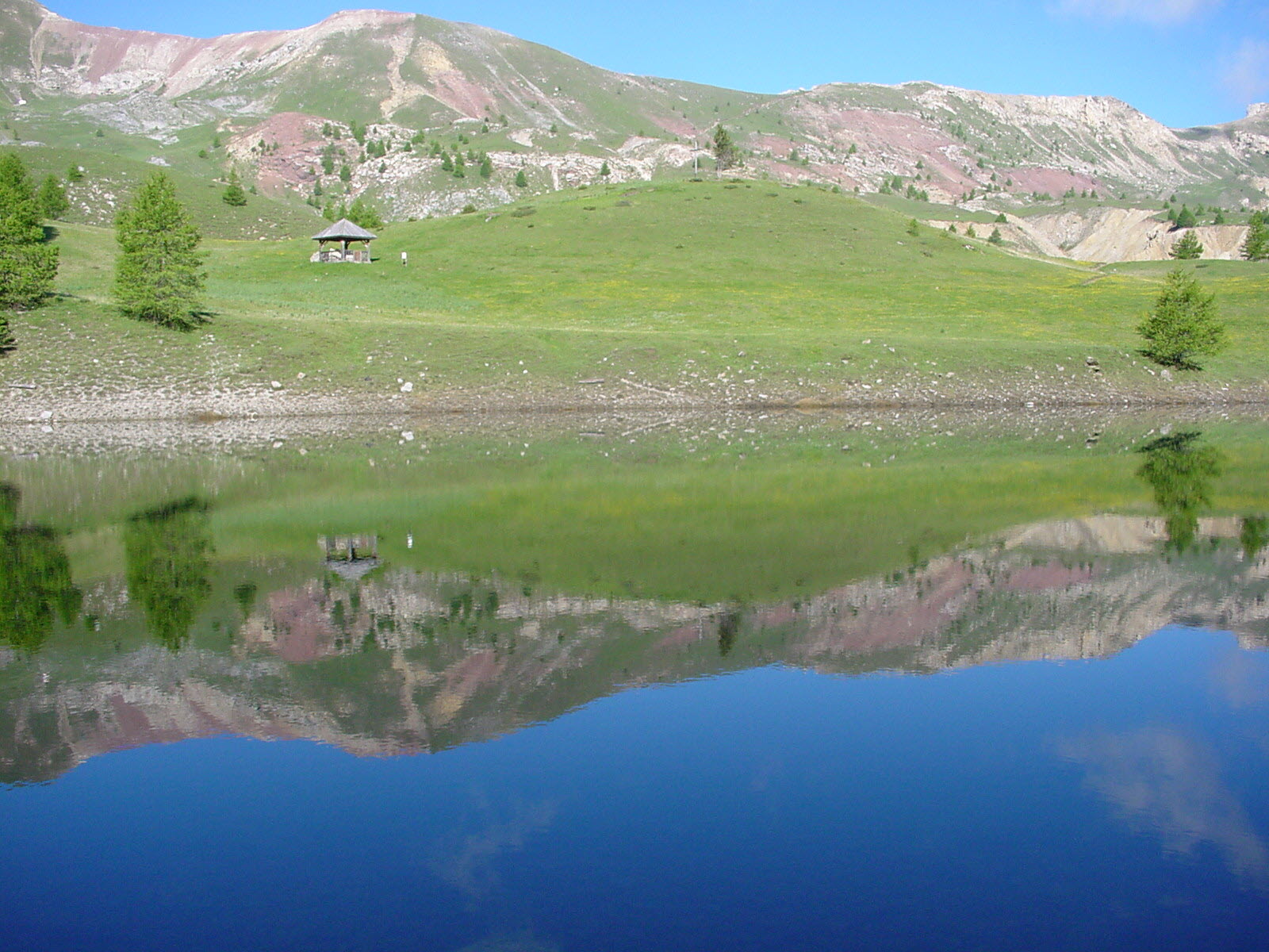
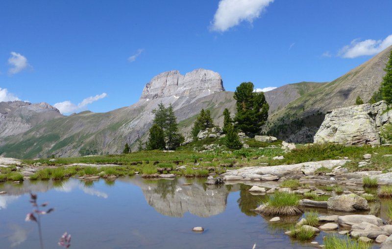
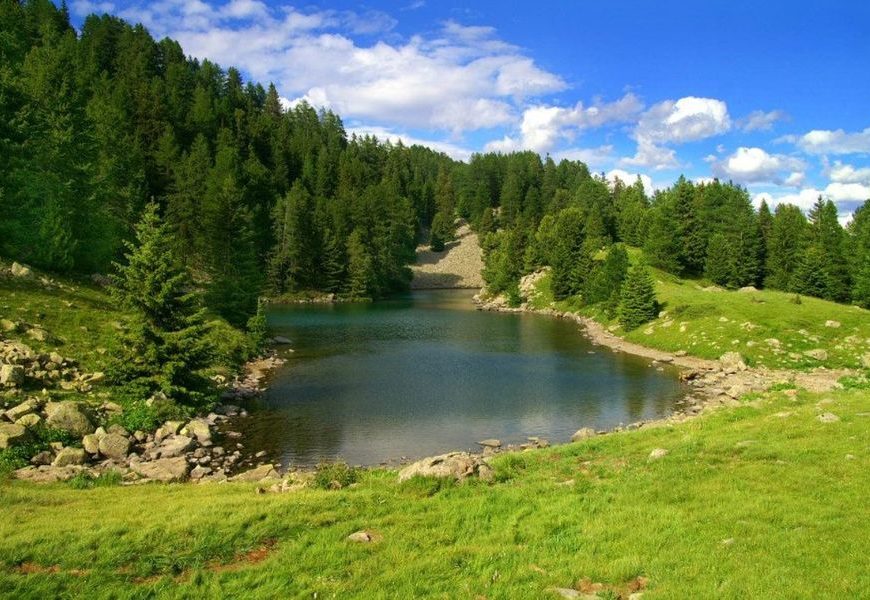
Tour of Lac Noir and Lac du Milieu, among the most beautiful in the Ubaye. The path crosses a forest of larches and cembra pines. Unfortunately, presence of ski lifts.

Already more than 200,000 users!
Uphill
906m
Highest point
2137m
Downhill
900m
Lowest point
1256m
Route type
Loop
Download the map on your smartphone to save battery and rest assured to always keep access to the route, even without signal.
Includes IGN France and Swisstopo.
I indicate whether dogs are allowed or prohibited on this trail
From May to September
1 rating
Also enjoy:

Already more than 200,000 users!