Uphill
177m
Length
6km
Duration
2h
Elev gain
177m
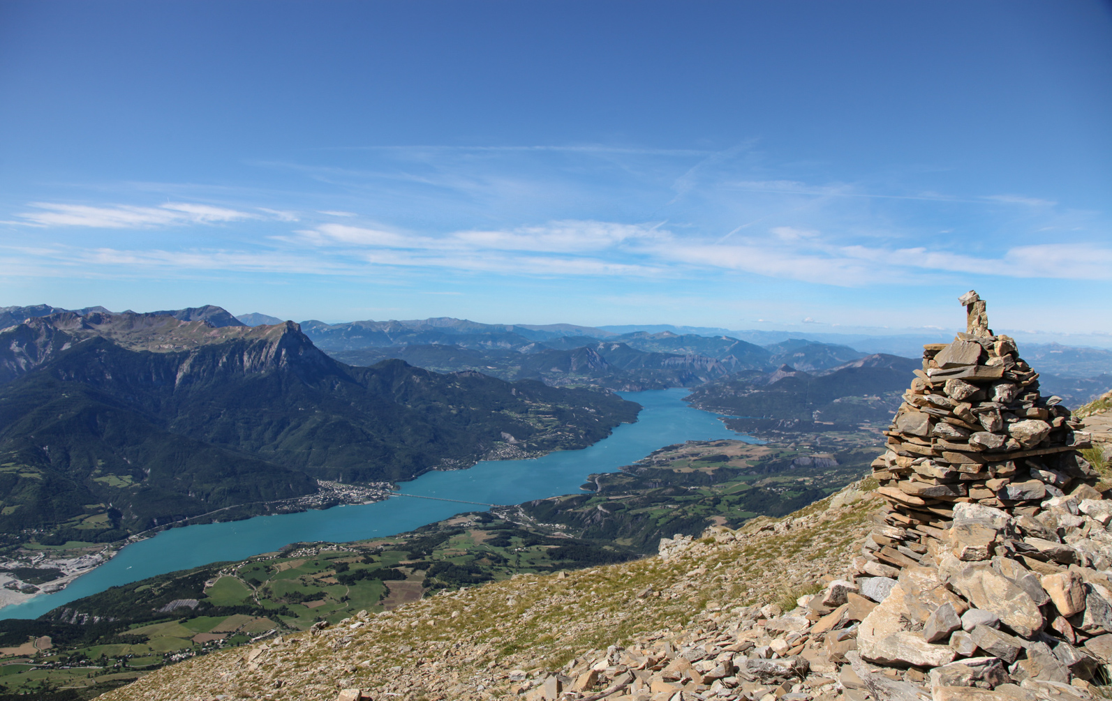
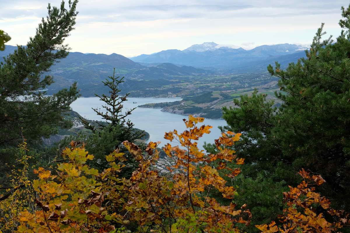
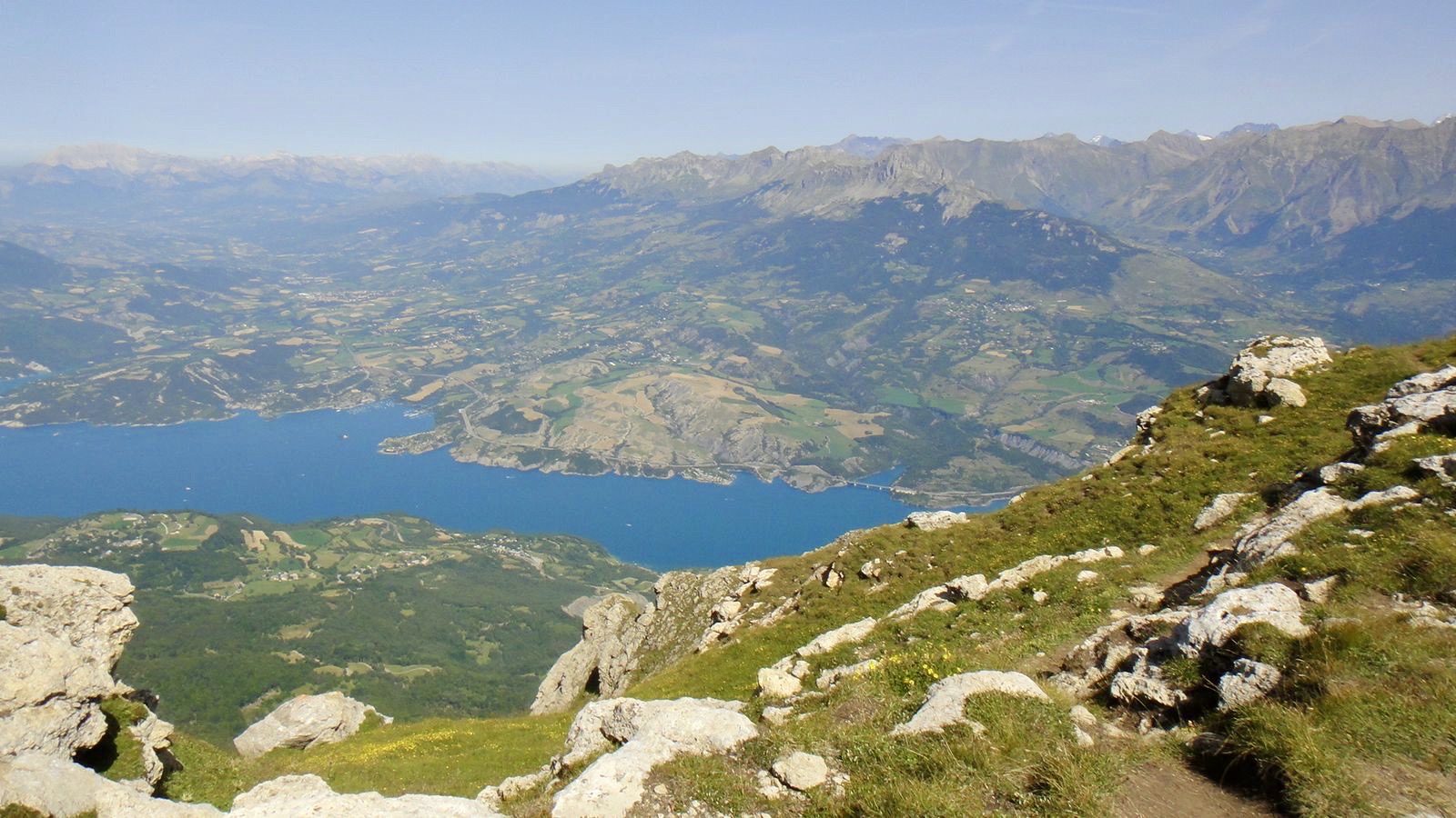
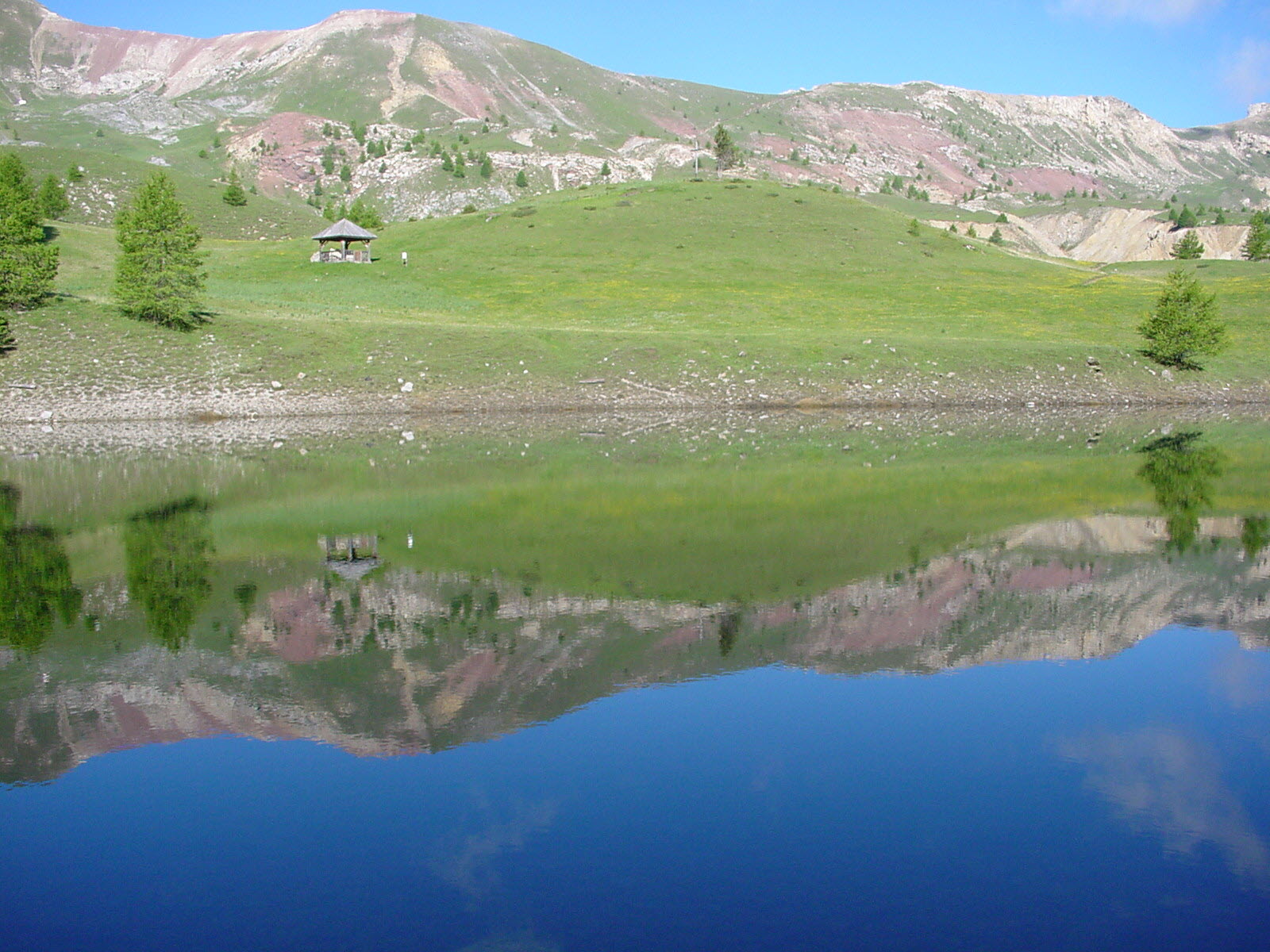
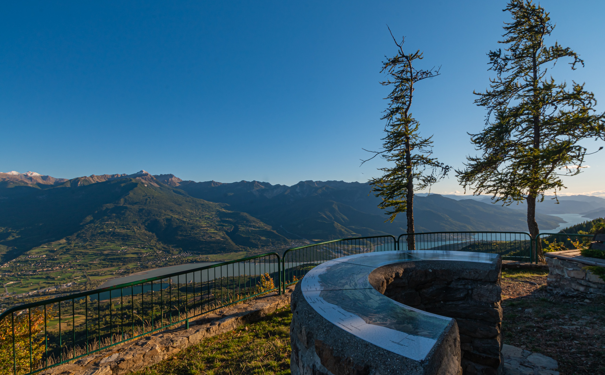
This trail alternates between forest road and open passages with a view of the Lac de Serre-Ponçon. It leads to the Para belvedere where it is possible to picnic. Nice hike accessible to all.

Already more than 200,000 users!
Uphill
177m
Highest point
1691m
Downhill
177m
Lowest point
1579m
Route type
There and back
Download the map on your smartphone to save battery and rest assured to always keep access to the route, even without signal.
Includes IGN France and Swisstopo.
I indicate whether dogs are allowed or prohibited on this trail
From May to October
0 ratings
Also enjoy:

Already more than 200,000 users!