Uphill
581m
Length
7km
Duration
4h
Elev gain
581m
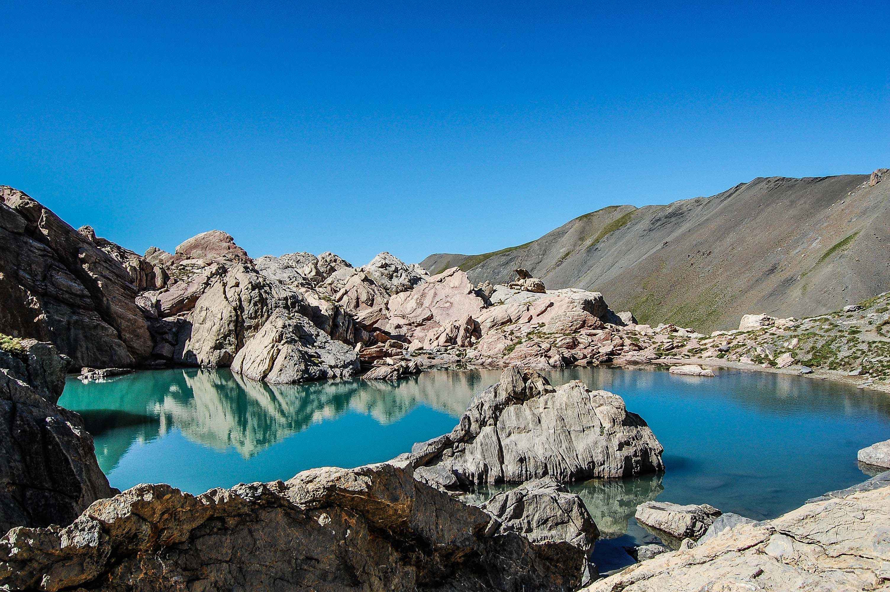
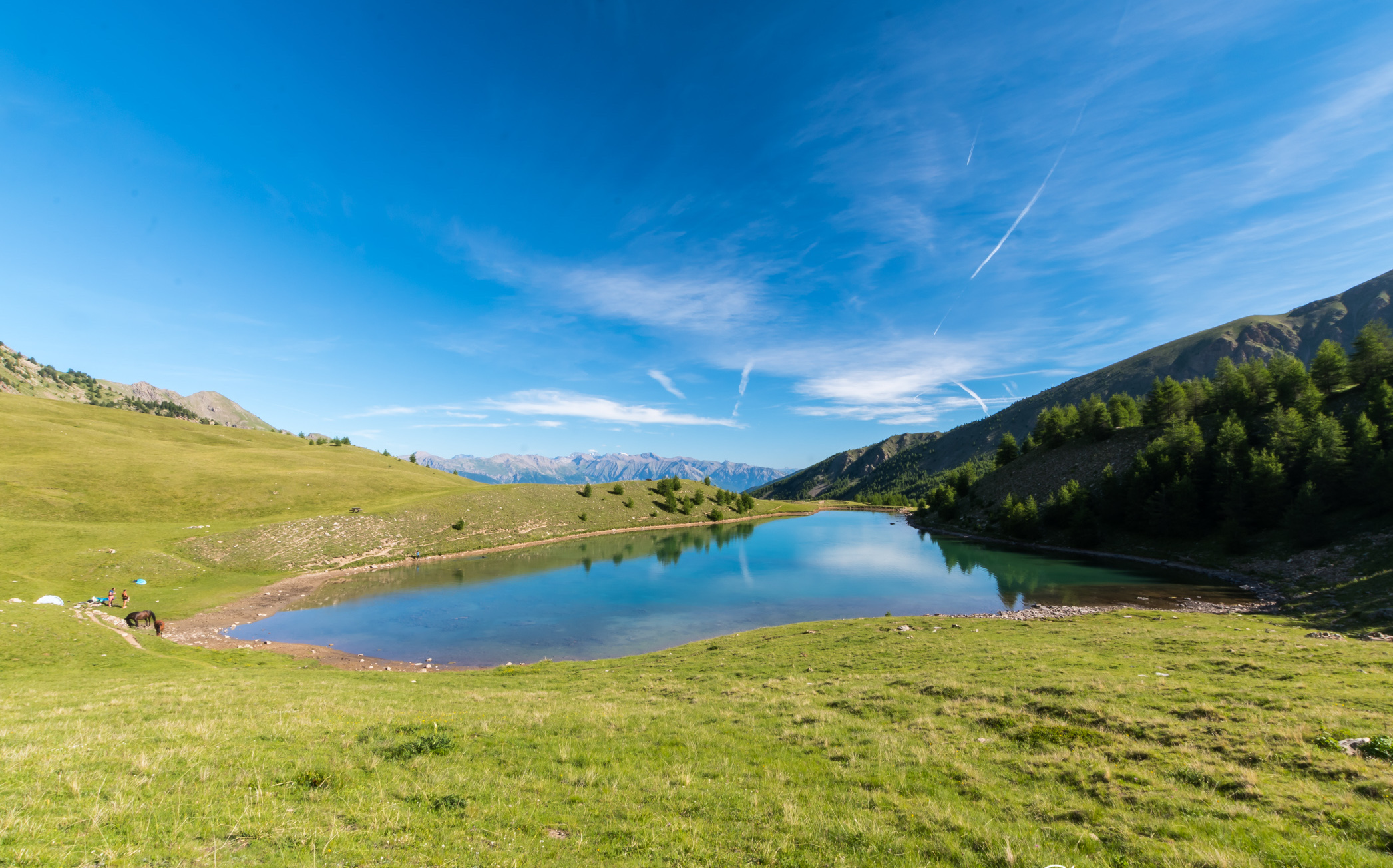
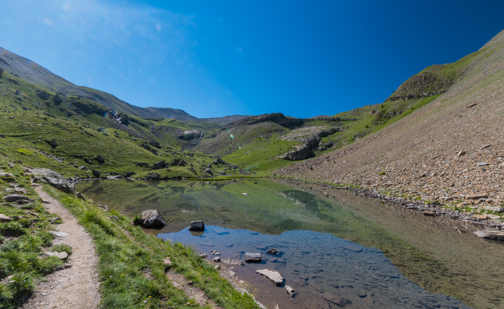
Superb hike with diverse and varied landscapes: plain, river, lake and waterfall. Ideal for a family outing with the possibility of picnicking by the lake.

Already more than 200,000 users!
Uphill
581m
Highest point
2245m
Downhill
581m
Lowest point
1660m
Route type
There and back
Download the map on your smartphone to save battery and rest assured to always keep access to the route, even without signal.
Includes IGN France and Swisstopo.
I indicate whether dogs are allowed or prohibited on this trail
From May to September
2 ratings
Early May hike, and made it up to the meadowlands and the Berger Hut could not proceed to the lake because of too much snow. It’s a rocky trail up but worth every ounce of energy to get there. The scenery and mountains are gorgeous with the rushing river along the path.
Also enjoy:

Already more than 200,000 users!