Uphill
577m

France > Provence-Alpes-Côte d'Azur > Hautes-Alpes
Length
11km
Duration
4h30min
Elev gain
577m
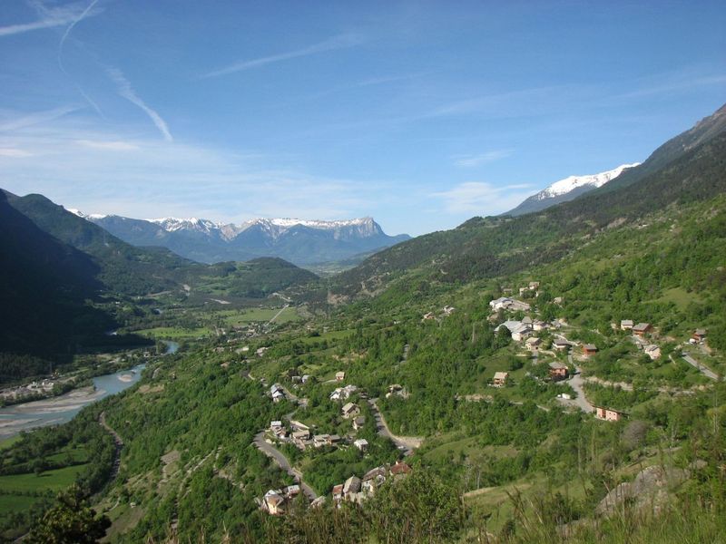
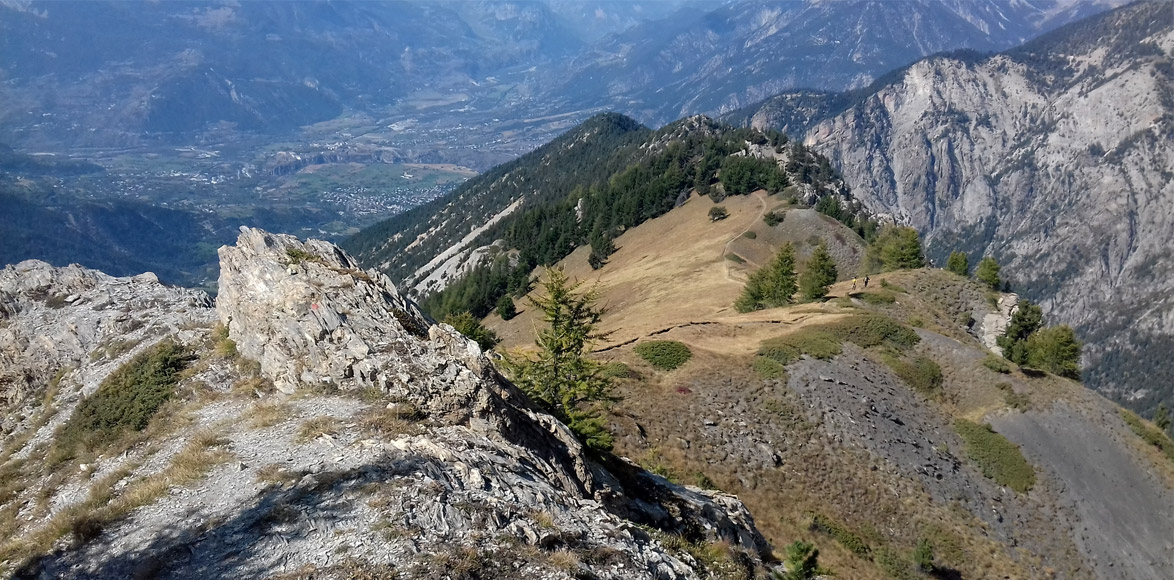
Departing from the Risoul 1850 station, this is a loop trail offering varied landscapes and magnificent vegetation.
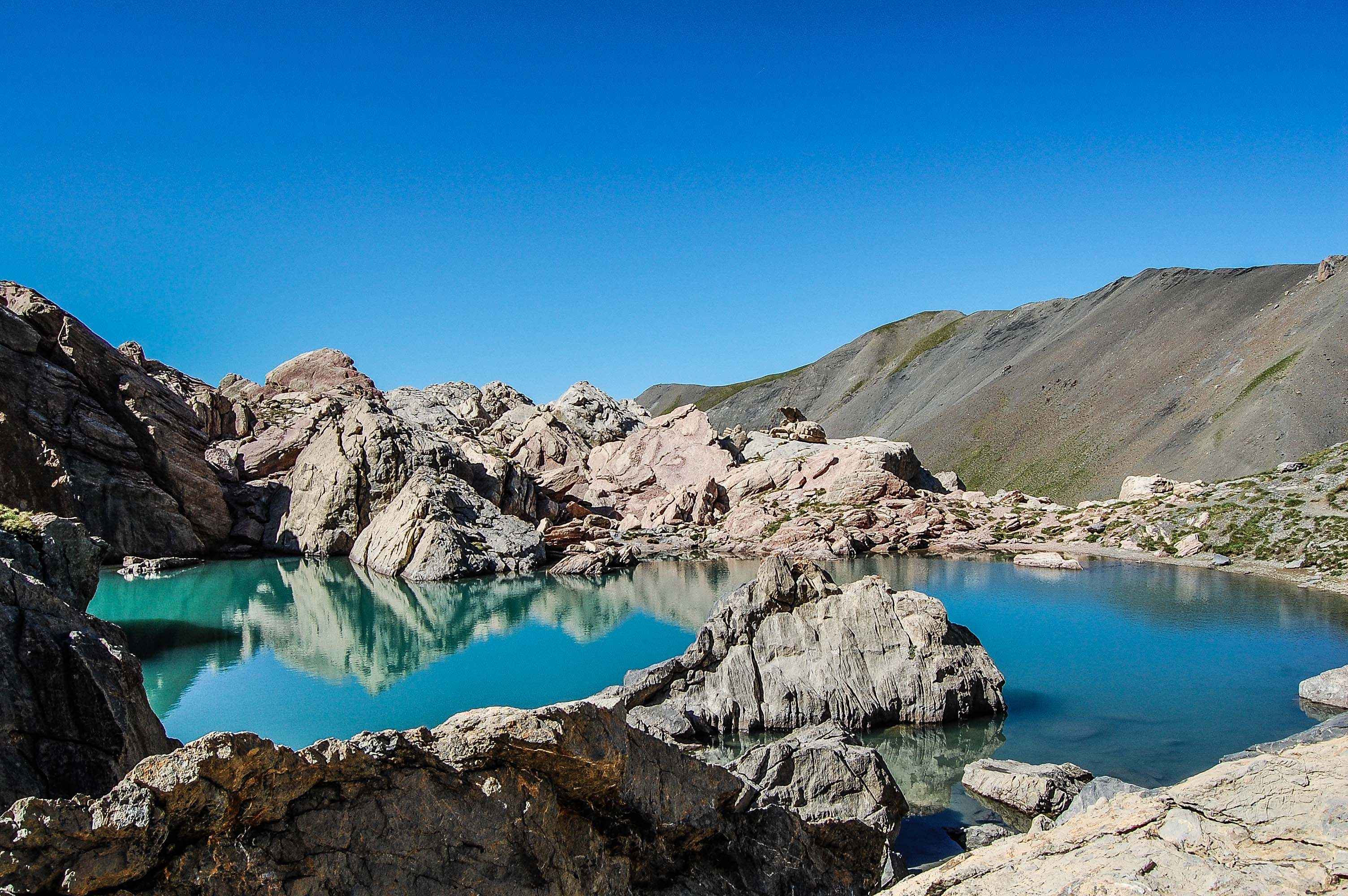
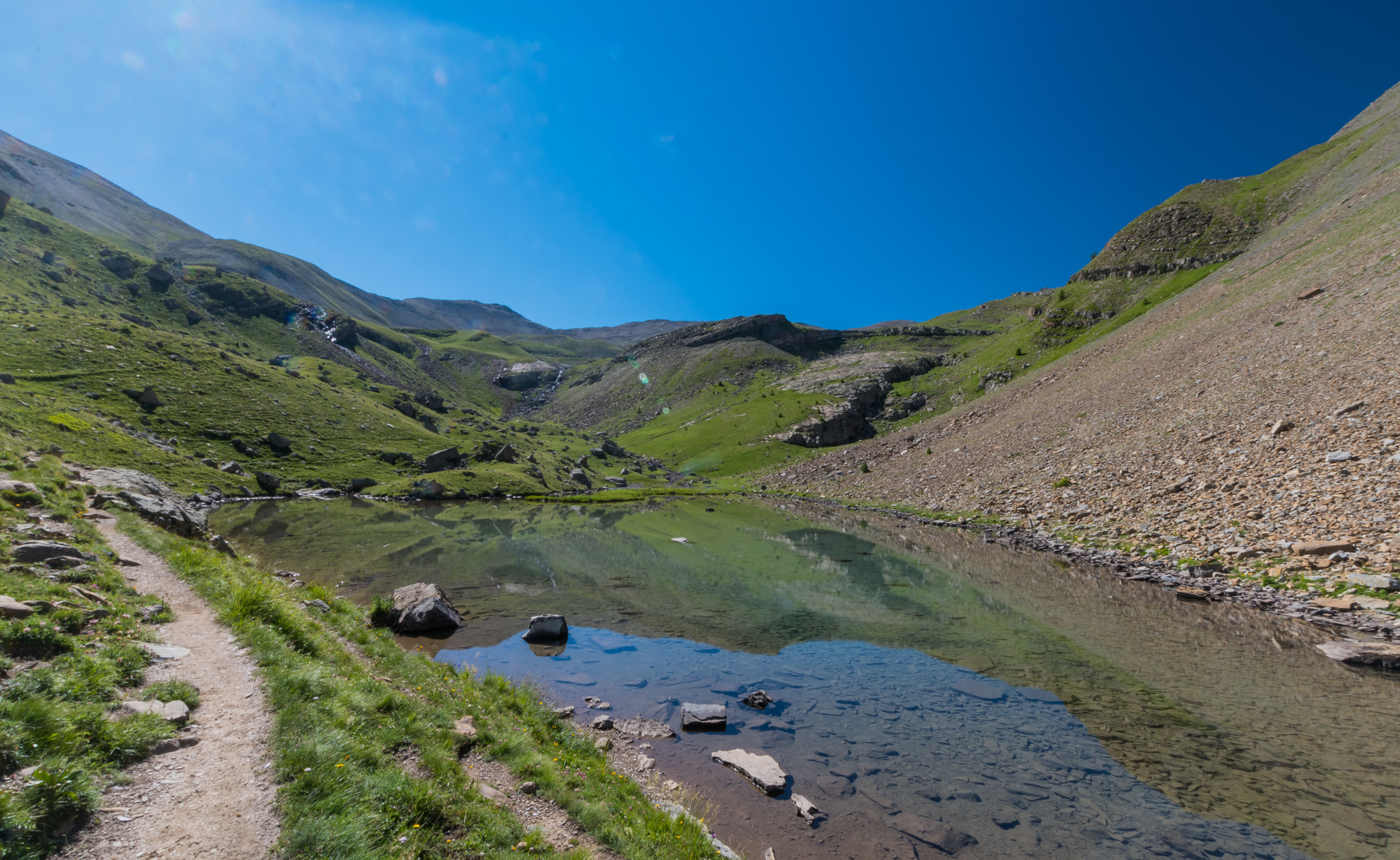
The path first heads to the belvedere of Homme de Pierre, then continues by the crest of Martinat passing by the lake of Pré du Laus. Many viewpoints on the Durance river.

Already more than 200,000 users!
Uphill
577m
Highest point
2366m
Downhill
577m
Lowest point
1909m
Route type
Loop
Download the map on your smartphone to save battery and rest assured to always keep access to the route, even without signal.
Includes IGN France and Swisstopo.
I indicate whether dogs are allowed or prohibited on this trail
From May to September
3 ratings
Also enjoy:

Already more than 200,000 users!