Uphill
356m

Length
6km
Duration
2h30min
Elev gain
356m
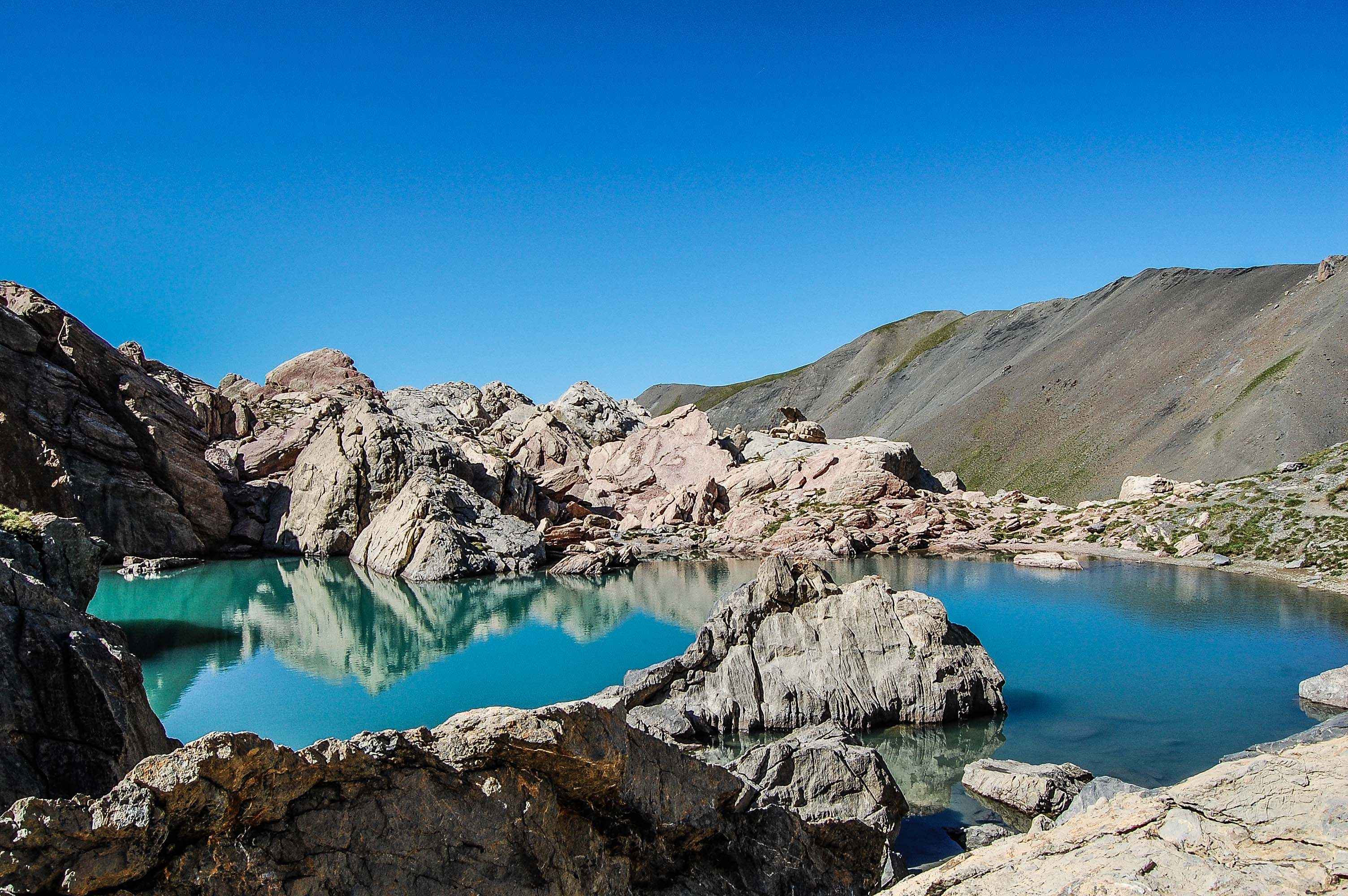
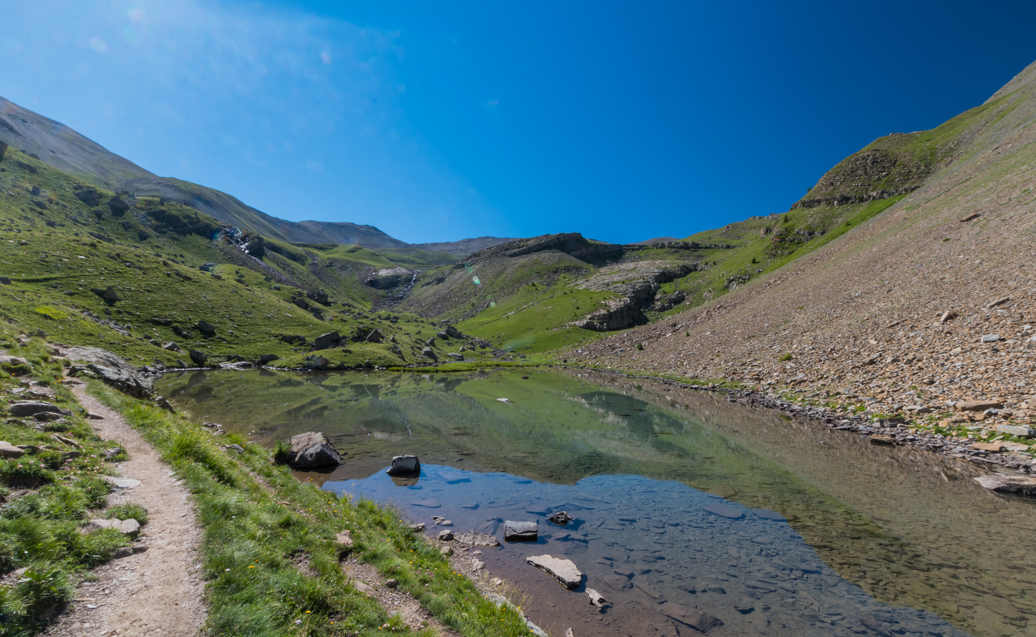
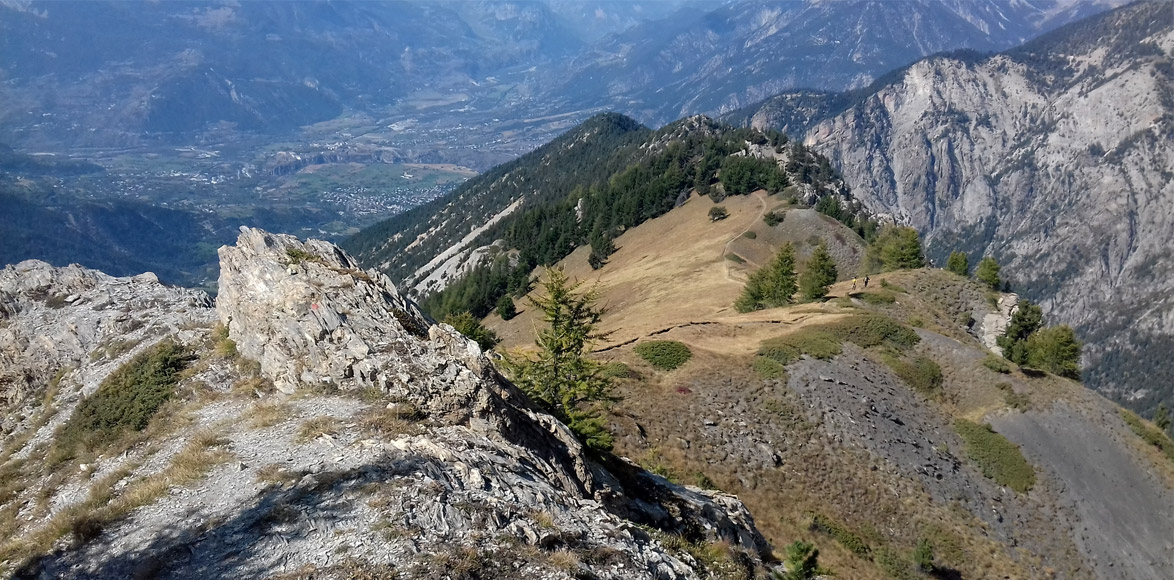
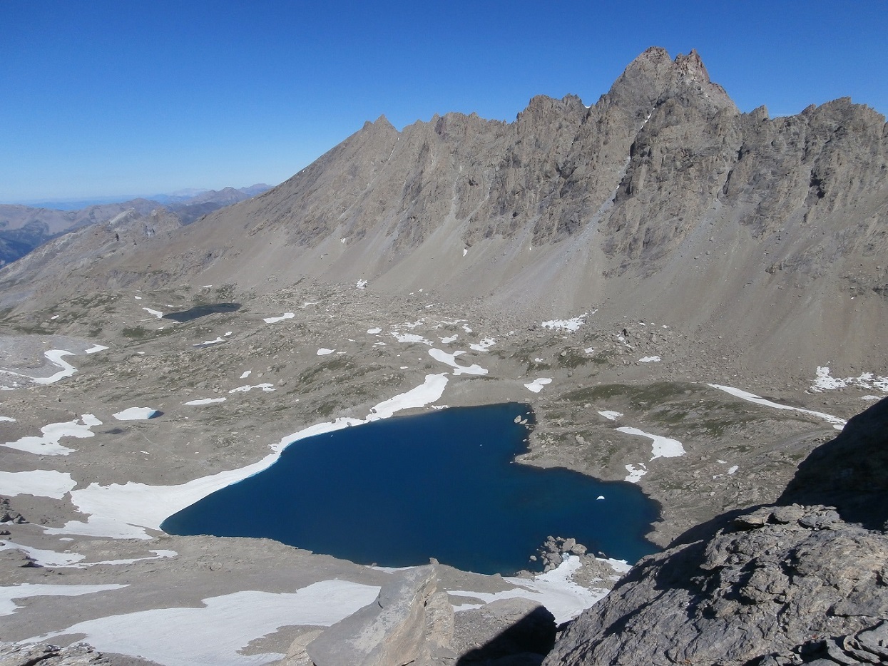
A hiking trail suitable for the whole family, located in the heart of the Ecrins National Park. The start is located at Col de Vars near Saint-Paul-sur-Ubaye. The views are pretty, and marmots are frequently present.

Already more than 200,000 users!
Uphill
356m
Highest point
2381m
Downhill
356m
Lowest point
2084m
Route type
Loop
Download the map on your smartphone to save battery and rest assured to always keep access to the route, even without signal.
Includes IGN France and Swisstopo.
I indicate whether dogs are allowed or prohibited on this trail
From May to September
1 rating
Passage à travers champs
Also enjoy:

Already more than 200,000 users!