Uphill
364m
Length
6km
Duration
2h30min
Elev gain
364m
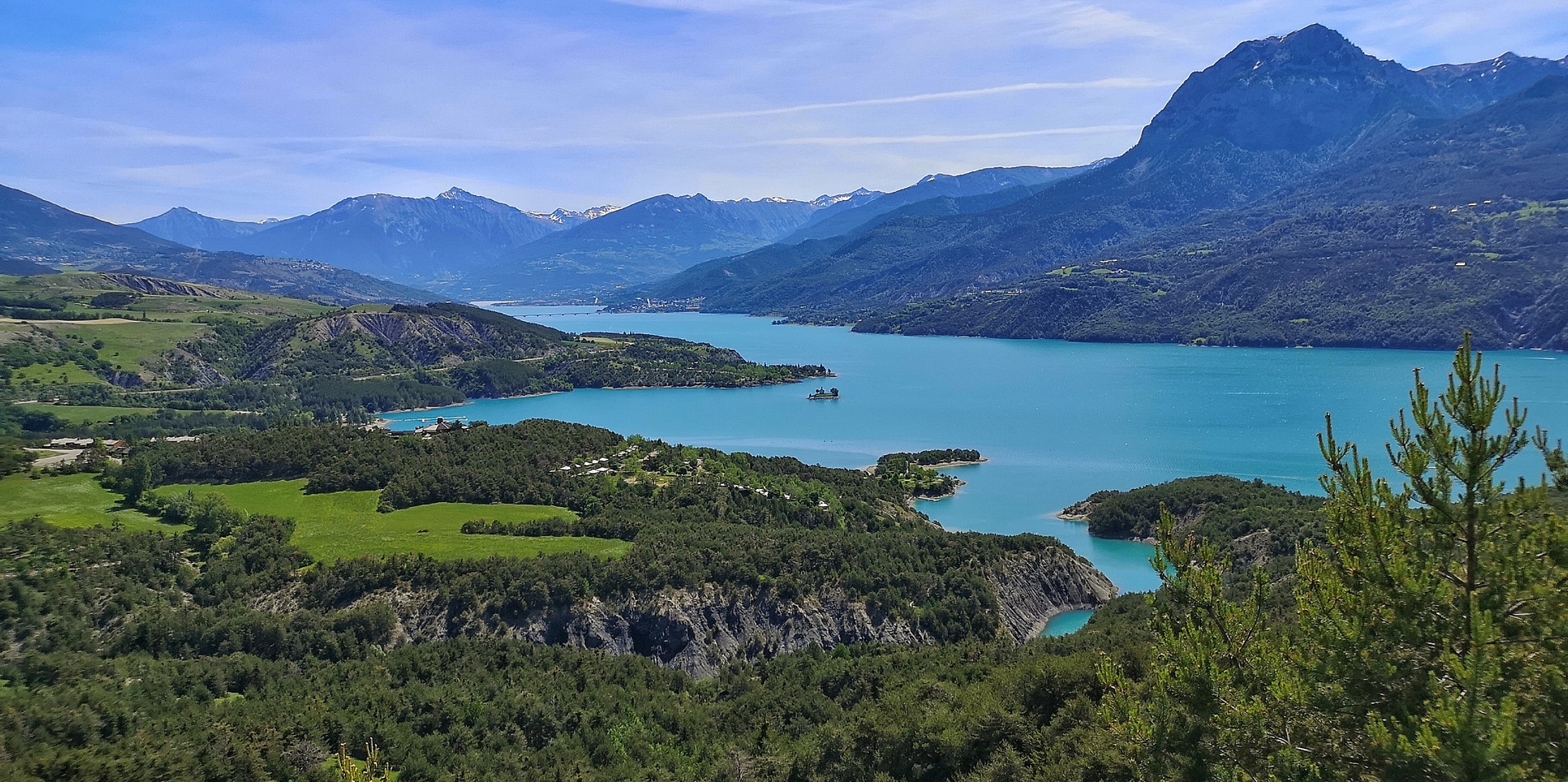
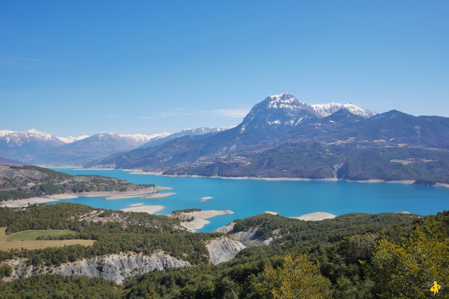
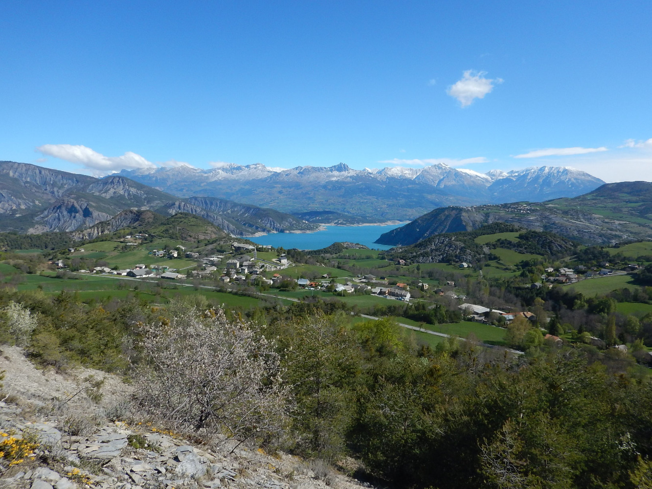
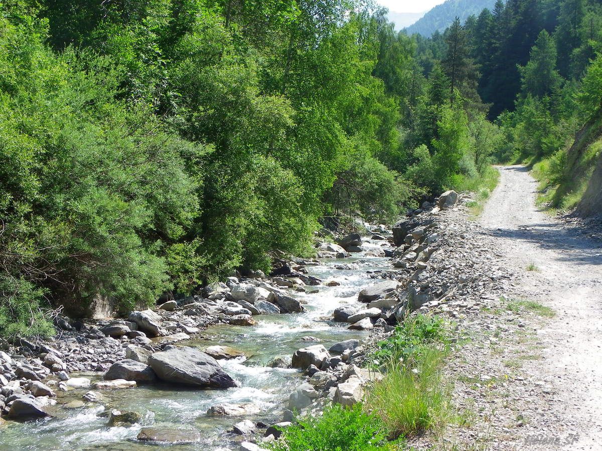
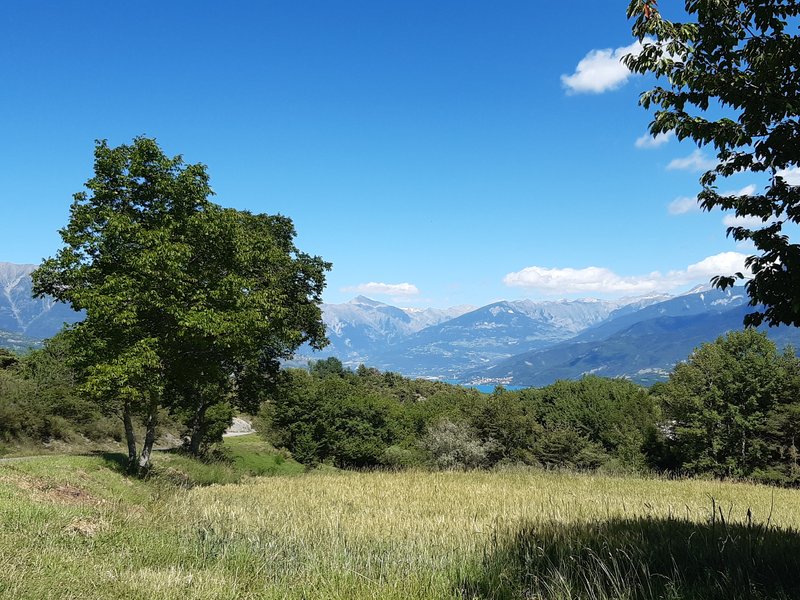
Hike mainly in the forest with some viewpoints over the valley. Traily usually uncrowded.

Already more than 200,000 users!
Uphill
364m
Highest point
1377m
Downhill
364m
Lowest point
1028m
Route type
Loop
Download the map on your smartphone to save battery and rest assured to always keep access to the route, even without signal.
Includes IGN France and Swisstopo.
I indicate whether dogs are allowed or prohibited on this trail
Can be difficult in Winter
0 ratings
Also enjoy:

Already more than 200,000 users!