Uphill
115m
Length
5km
Duration
1h30min
Elev gain
115m
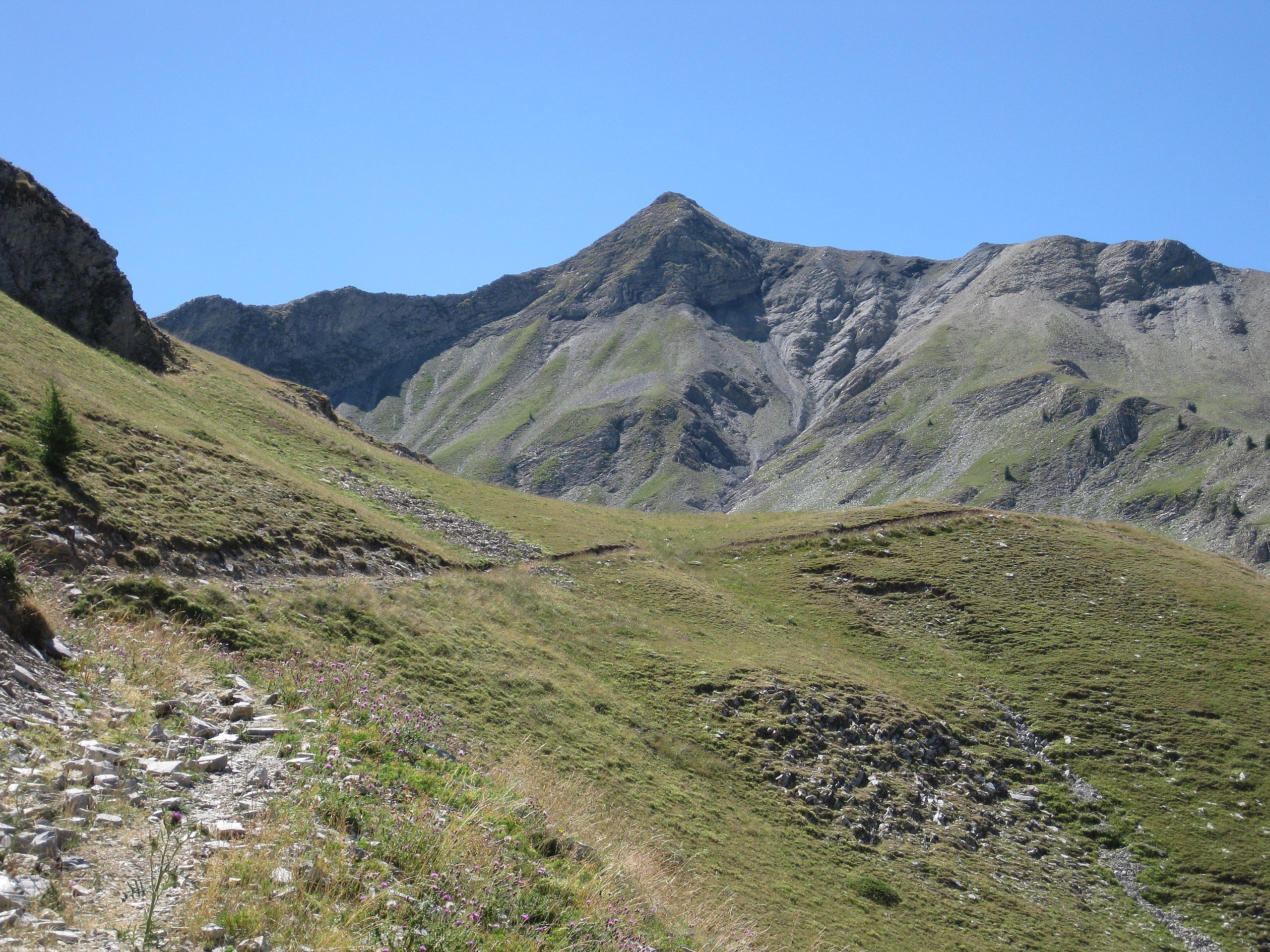
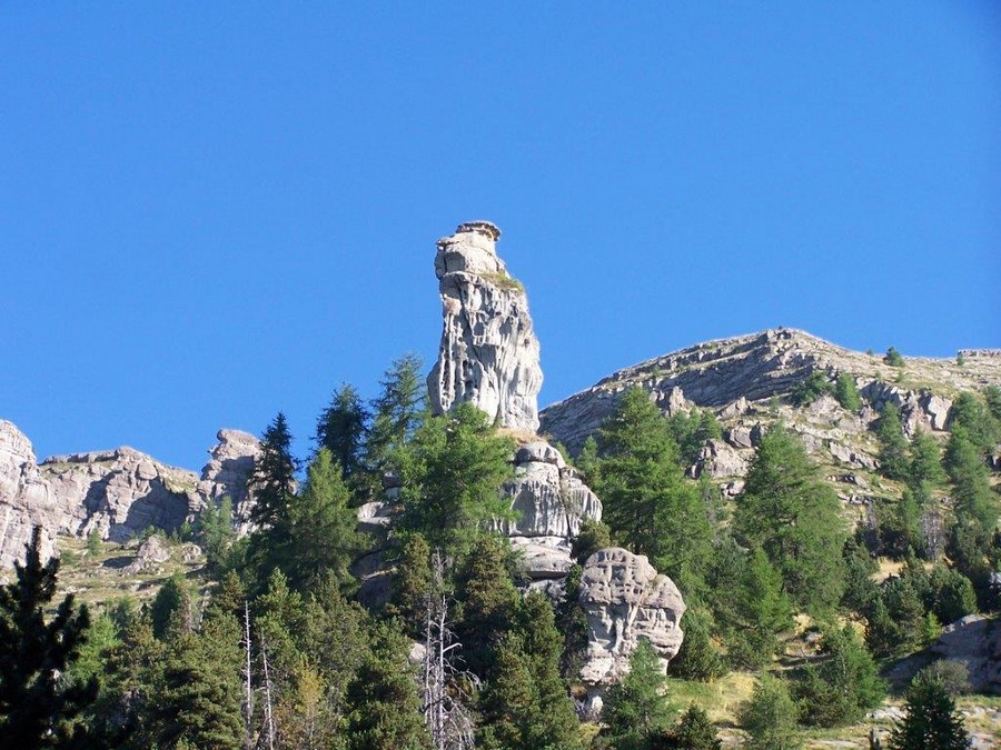
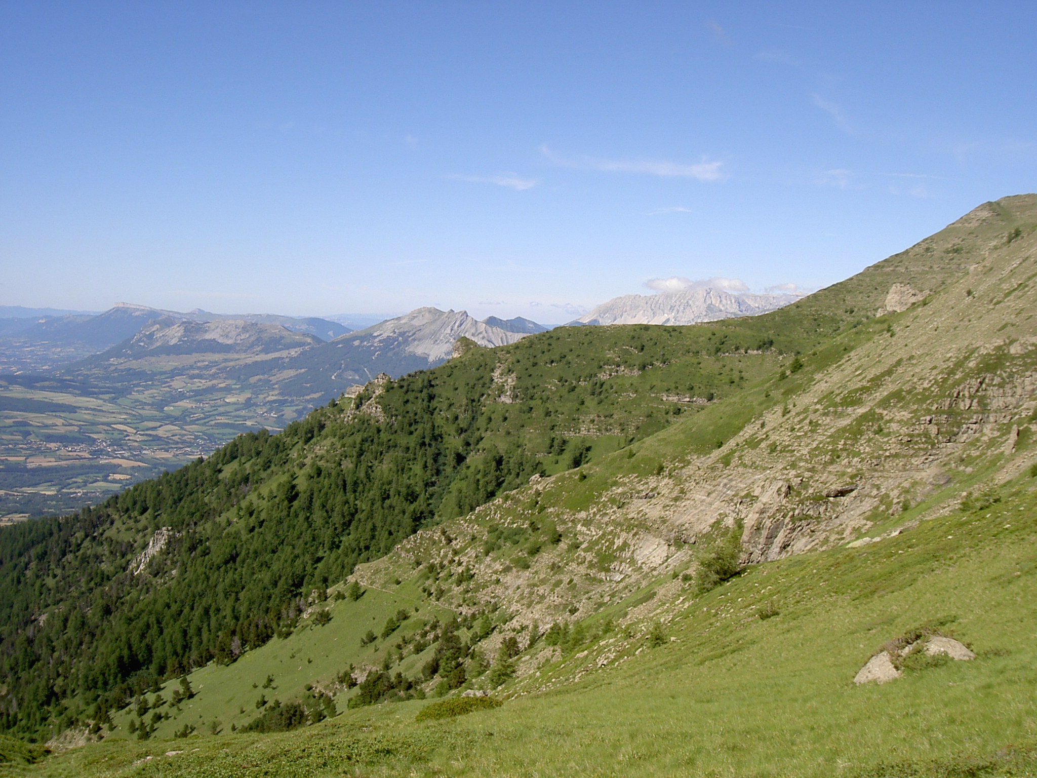
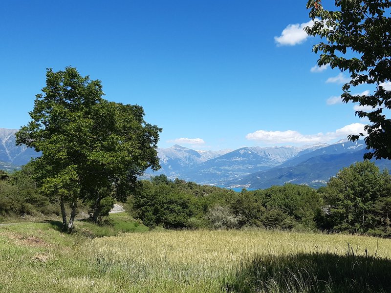
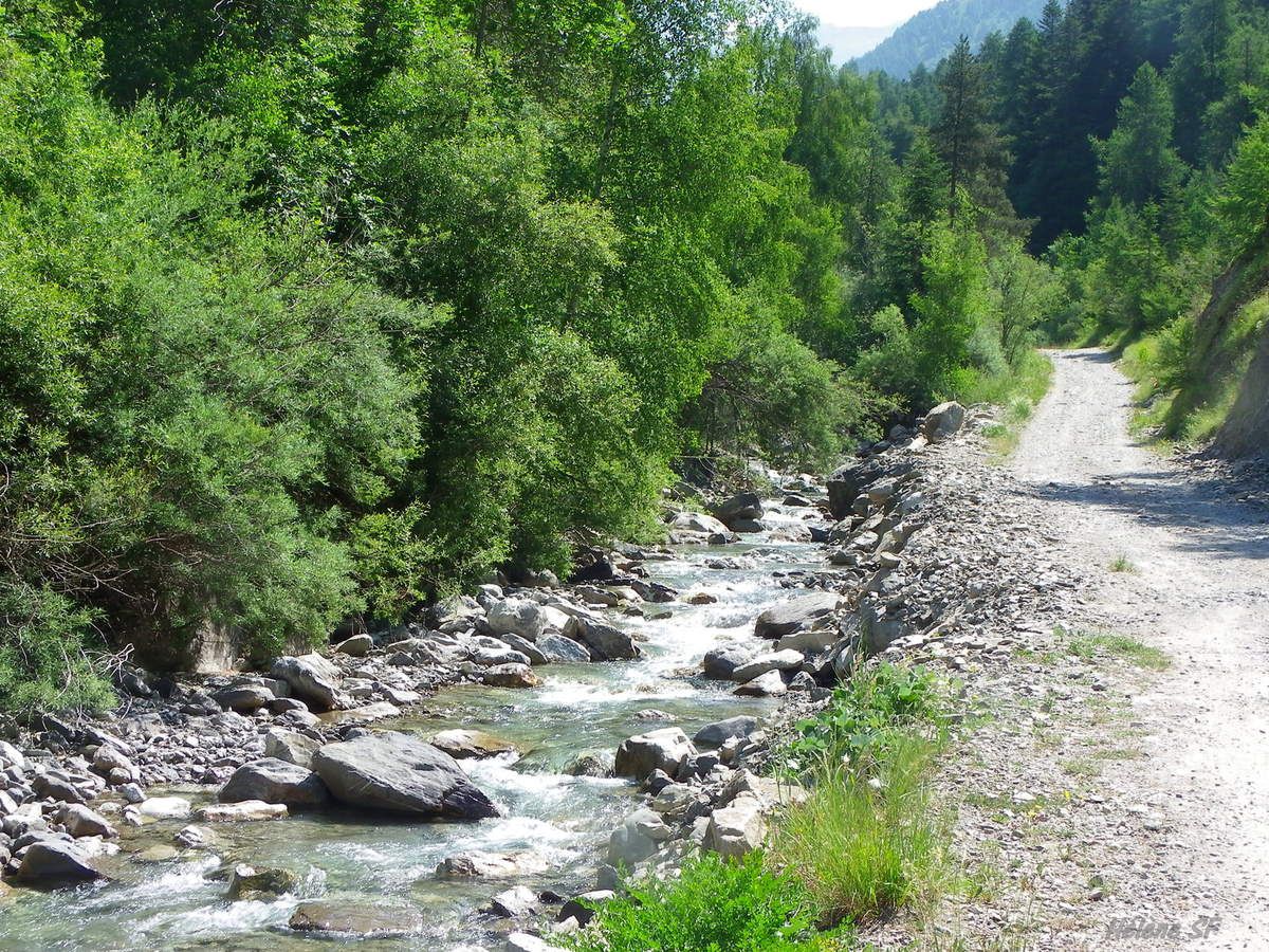
Departing from the village of Ancelle located at an altitude of 1,340 metres, this hike runs along the Ancelle torrent. Easy family hike with picnic tables available. Note that part of the trail is on the road.

Already more than 200,000 users!
Uphill
115m
Highest point
1450m
Downhill
115m
Lowest point
1340m
Route type
Loop
Download the map on your smartphone to save battery and rest assured to always keep access to the route, even without signal.
Includes IGN France and Swisstopo.
I indicate whether dogs are allowed or prohibited on this trail
Can be difficult in Winter
1 rating
Also enjoy:

Already more than 200,000 users!