Uphill
509m
Length
12km
Duration
4h30min
Elev gain
509m
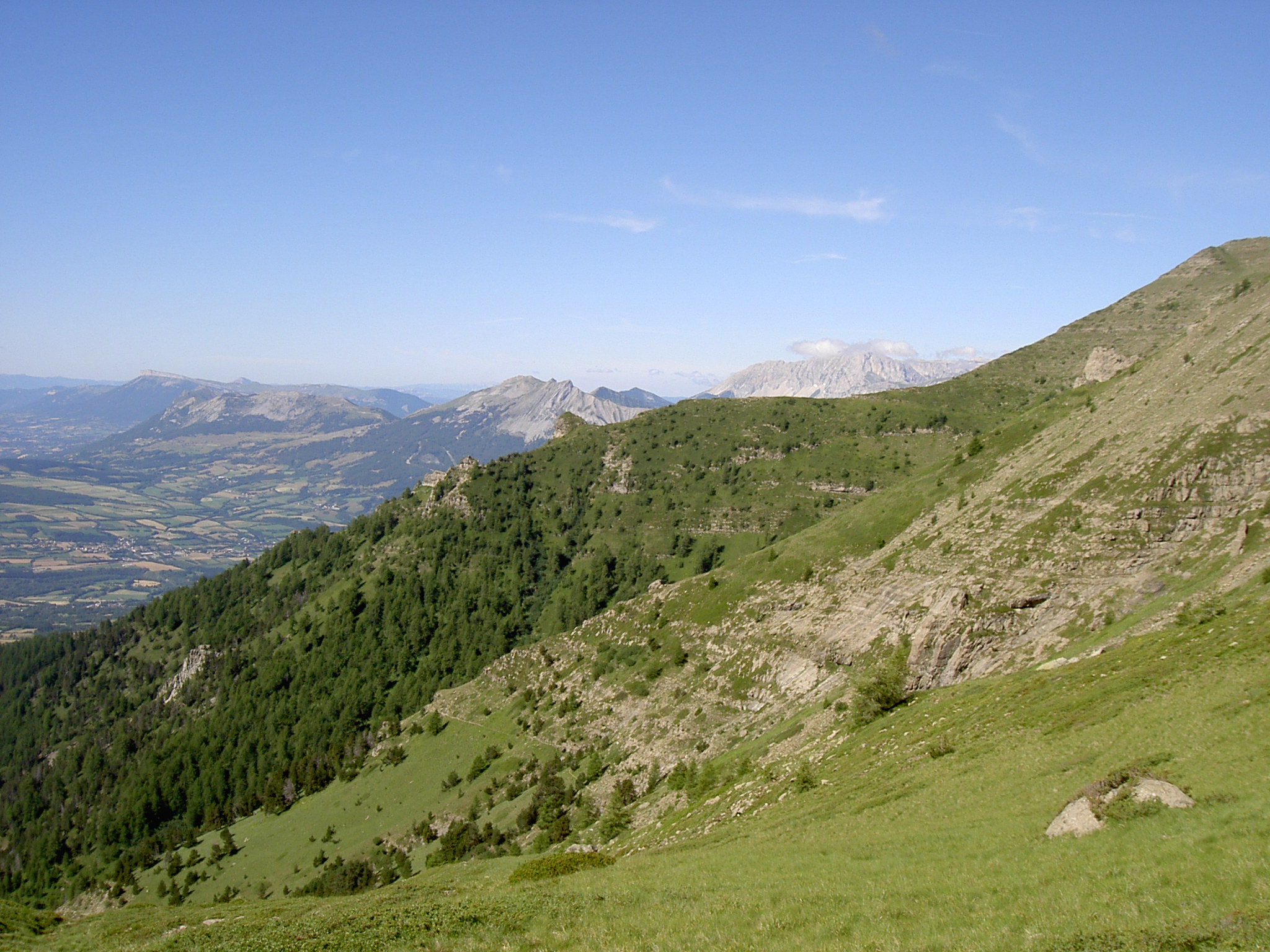
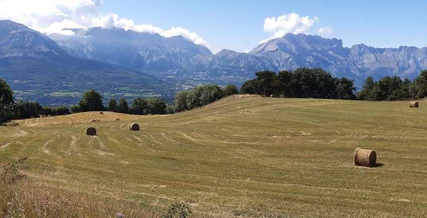
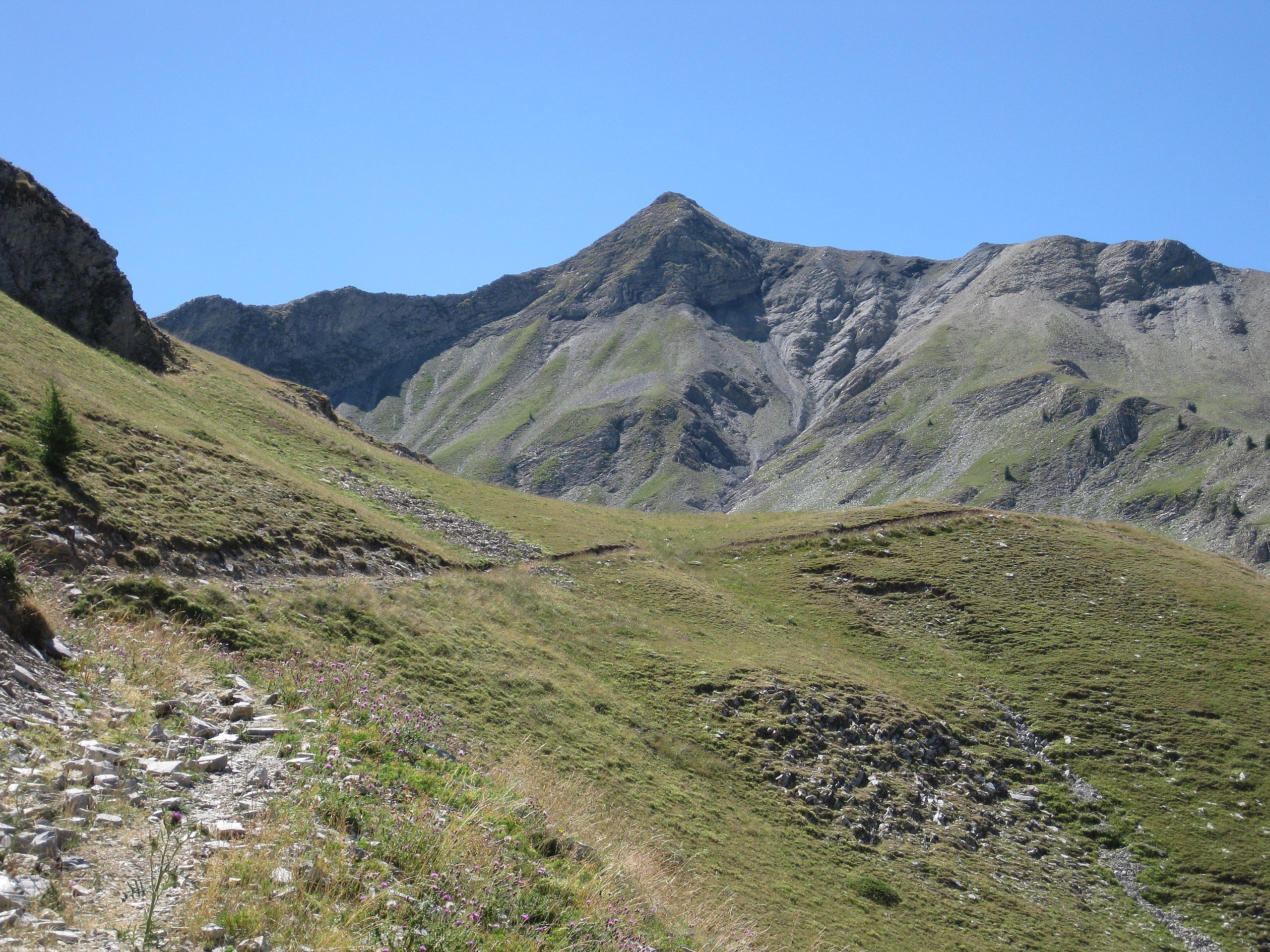
After a start in the undergrowth, this hike offers lovely views of the Champsaur valley and the Dévoluy massif.

Already more than 200,000 users!
Uphill
509m
Highest point
1977m
Downhill
509m
Lowest point
1578m
Route type
Loop
Download the map on your smartphone to save battery and rest assured to always keep access to the route, even without signal.
Includes IGN France and Swisstopo.
I indicate whether dogs are allowed or prohibited on this trail
From May to October
0 ratings
Also enjoy:

Already more than 200,000 users!