Uphill
266m
Length
6km
Duration
2h
Elev gain
266m
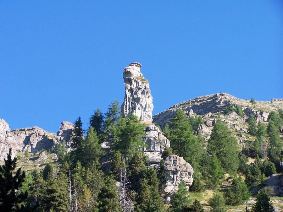
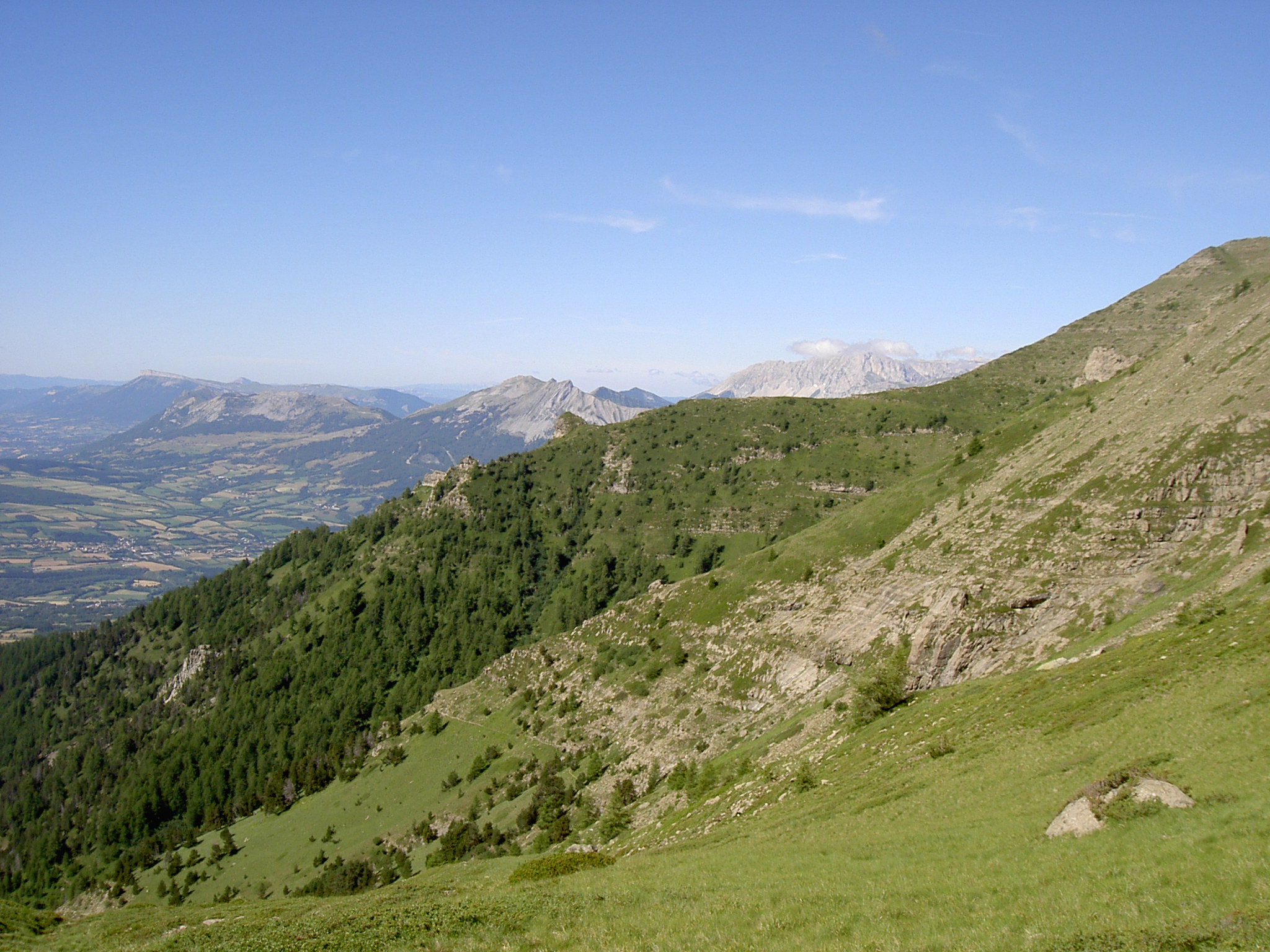
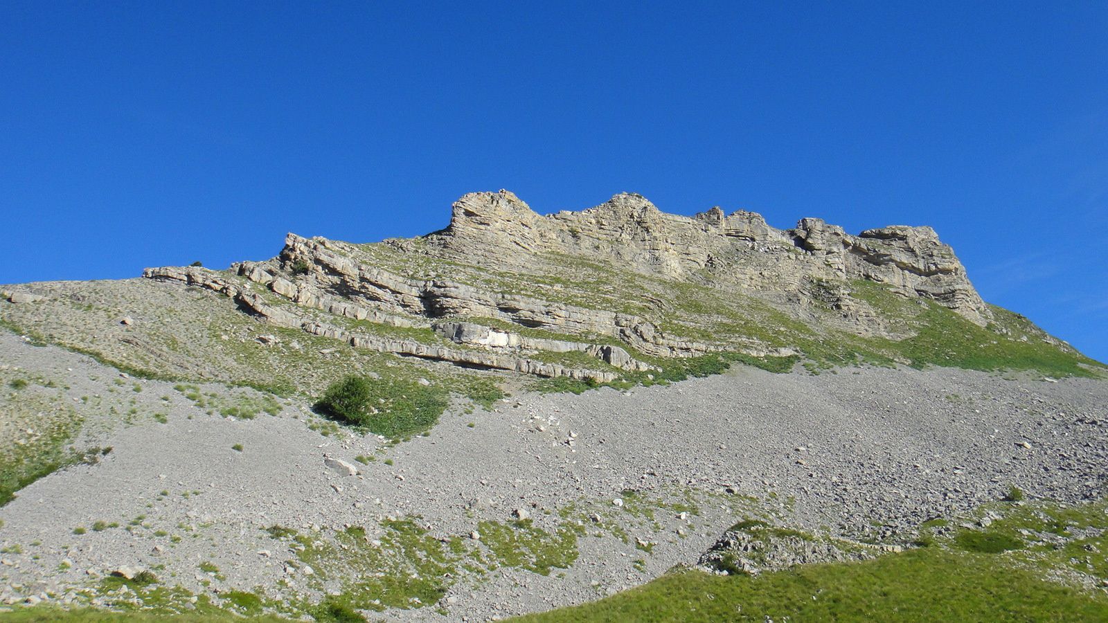
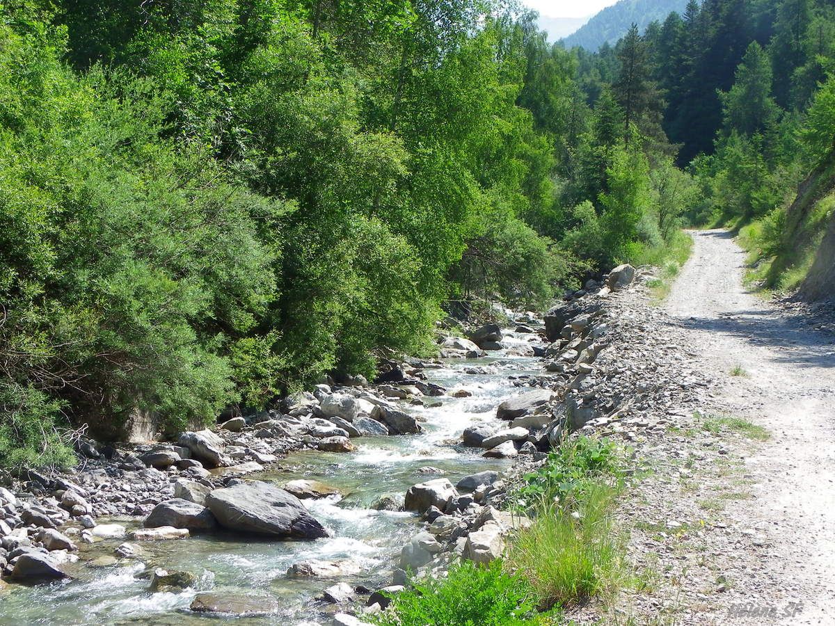
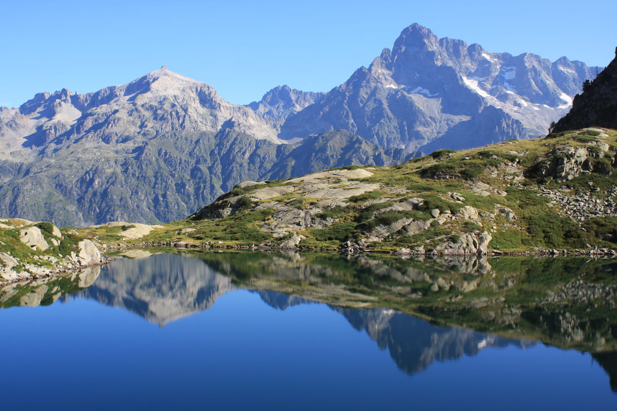
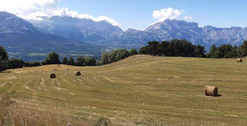
Departing from Les Infournas Hauts, this hike takes the Chemin des Subeyrannes and alternates between forests and pastures. Nice views of the Dévoluy massif.

Already more than 200,000 users!
Uphill
266m
Highest point
1629m
Downhill
266m
Lowest point
1352m
Route type
Loop
Download the map on your smartphone to save battery and rest assured to always keep access to the route, even without signal.
Includes IGN France and Swisstopo.
I indicate whether dogs are allowed or prohibited on this trail
From May to September
0 ratings
Also enjoy:

Already more than 200,000 users!