Uphill
1633m
Length
21km
Duration
11h30min
Elev gain
1633m
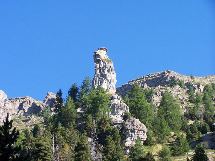
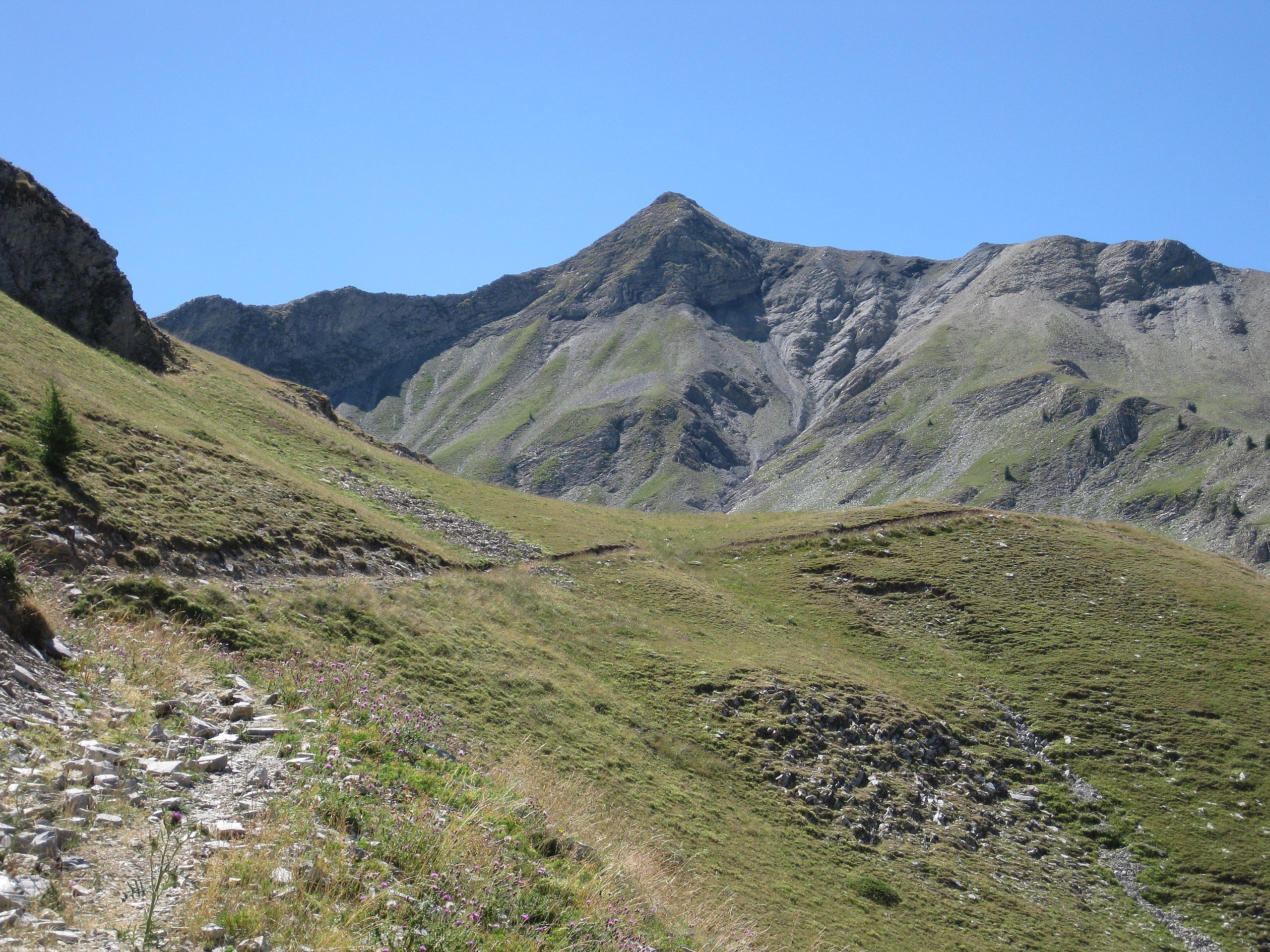
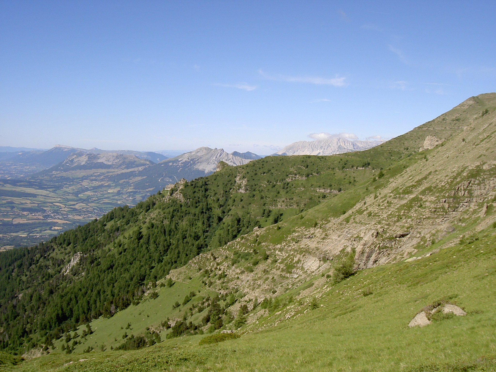
A hike with a strong elevation gain to reach the 3163 m of Vieux Chaillol, offering a nice view of the Ecrins. No particular difficulty except the length.

Already more than 200,000 users!
Uphill
1633m
Highest point
3147m
Downhill
1633m
Lowest point
1604m
Route type
There and back
Download the map on your smartphone to save battery and rest assured to always keep access to the route, even without signal.
Includes IGN France and Swisstopo.
I indicate whether dogs are allowed or prohibited on this trail
From June to September
0 ratings
Also enjoy:

Already more than 200,000 users!