Uphill
1365m
Length
15km
Duration
9h
Elev gain
1365m
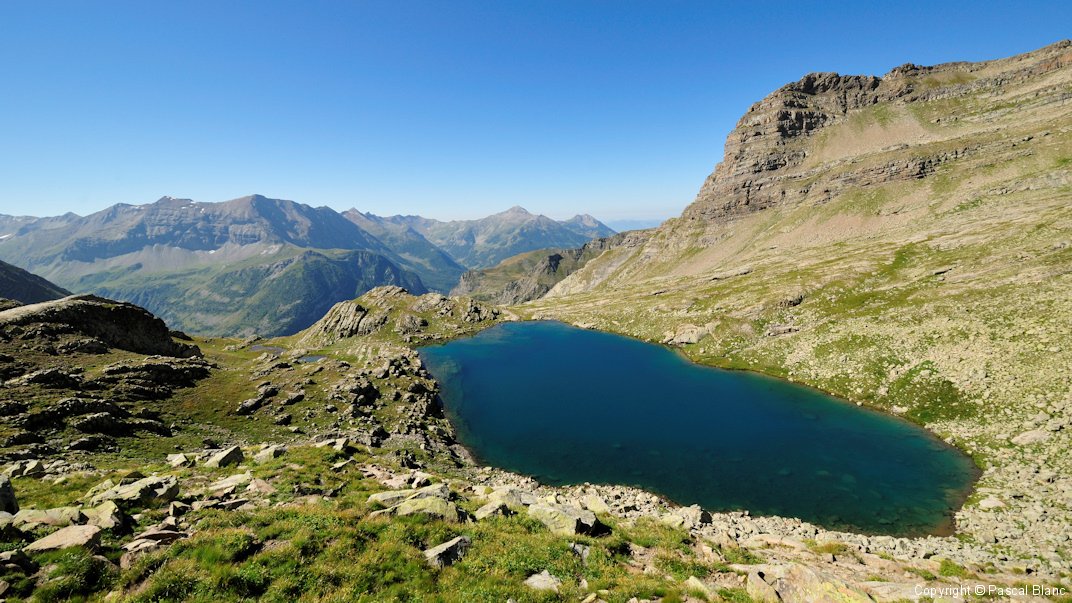
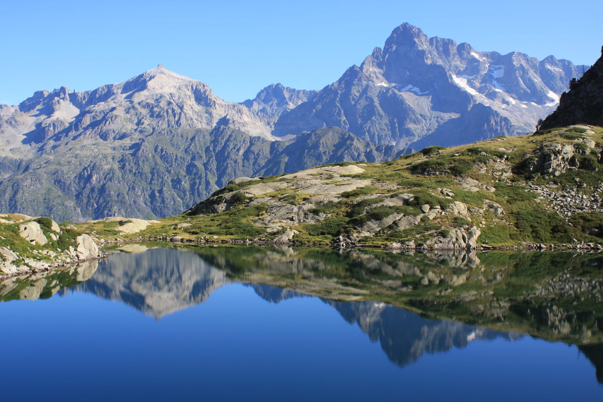
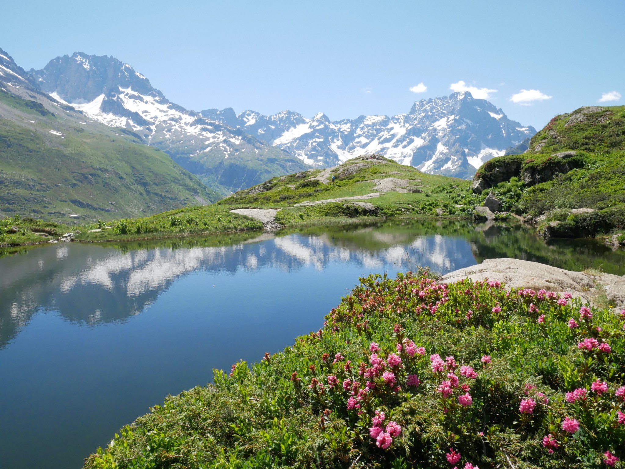
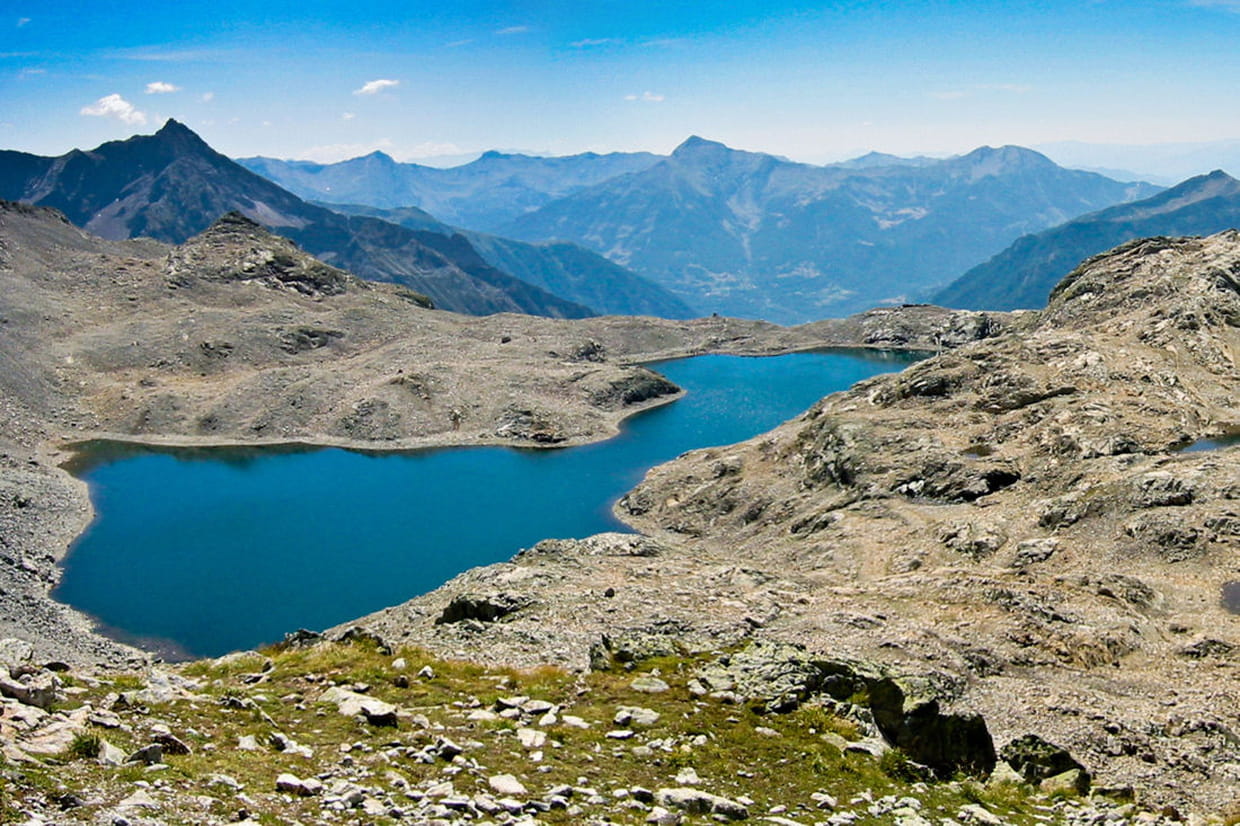
Hike in the Champoléon valley passing by several waterfalls, before reaching the Crupillouse lakes (2,560 m). The view there is splendid.
Note, however, that this trail is challenging and that good physical condition is necessary.

Already more than 200,000 users!
Uphill
1365m
Highest point
2655m
Downhill
1365m
Lowest point
1351m
Route type
There and back
Download the map on your smartphone to save battery and rest assured to always keep access to the route, even without signal.
Includes IGN France and Swisstopo.
I indicate whether dogs are allowed or prohibited on this trail
From June to September
0 ratings
Also enjoy:

Already more than 200,000 users!