Uphill
606m
Length
15km
Duration
5h30min
Elev gain
606m
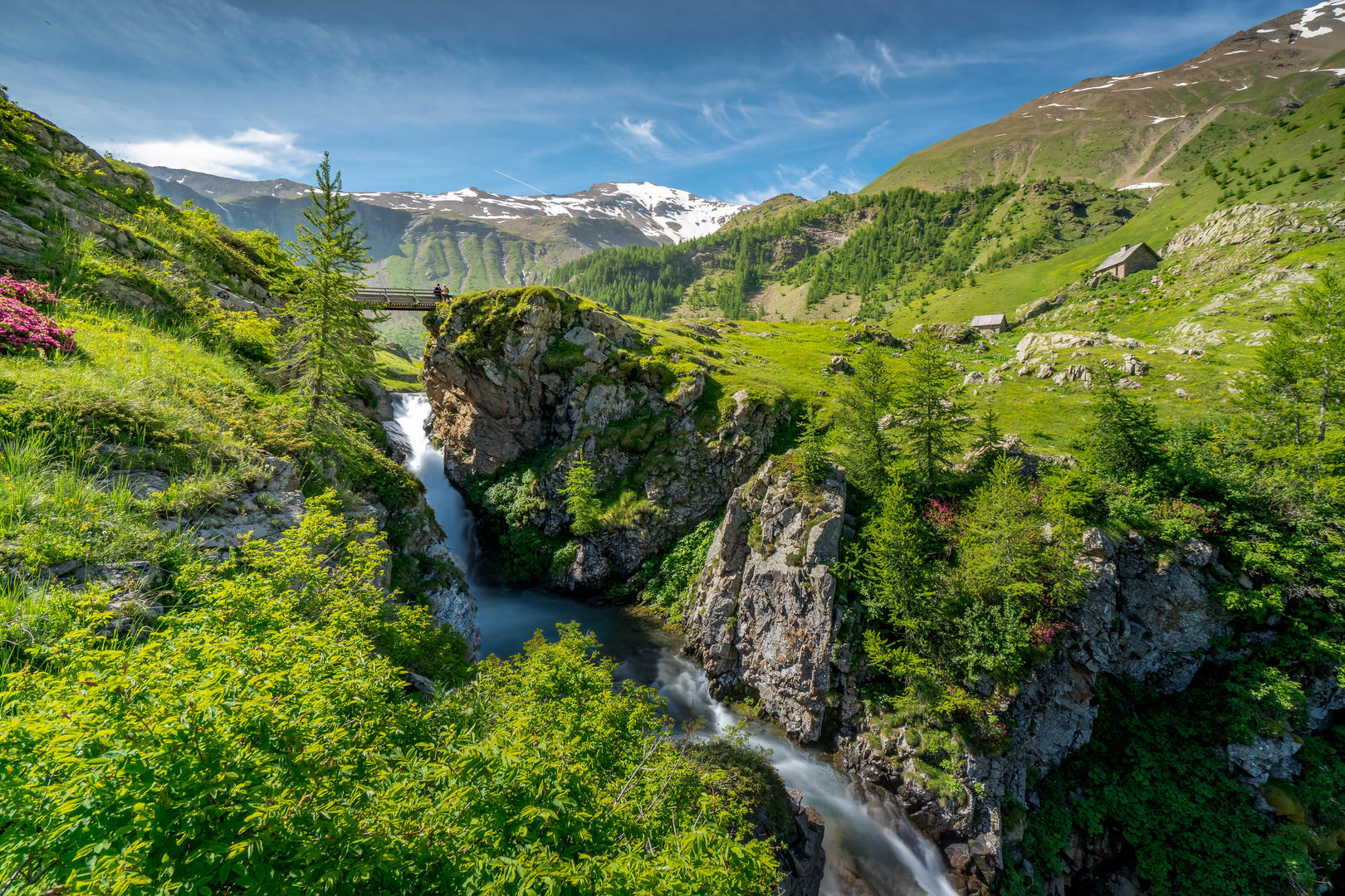
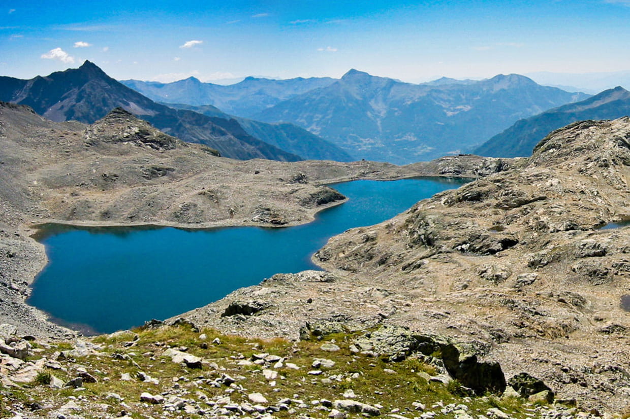
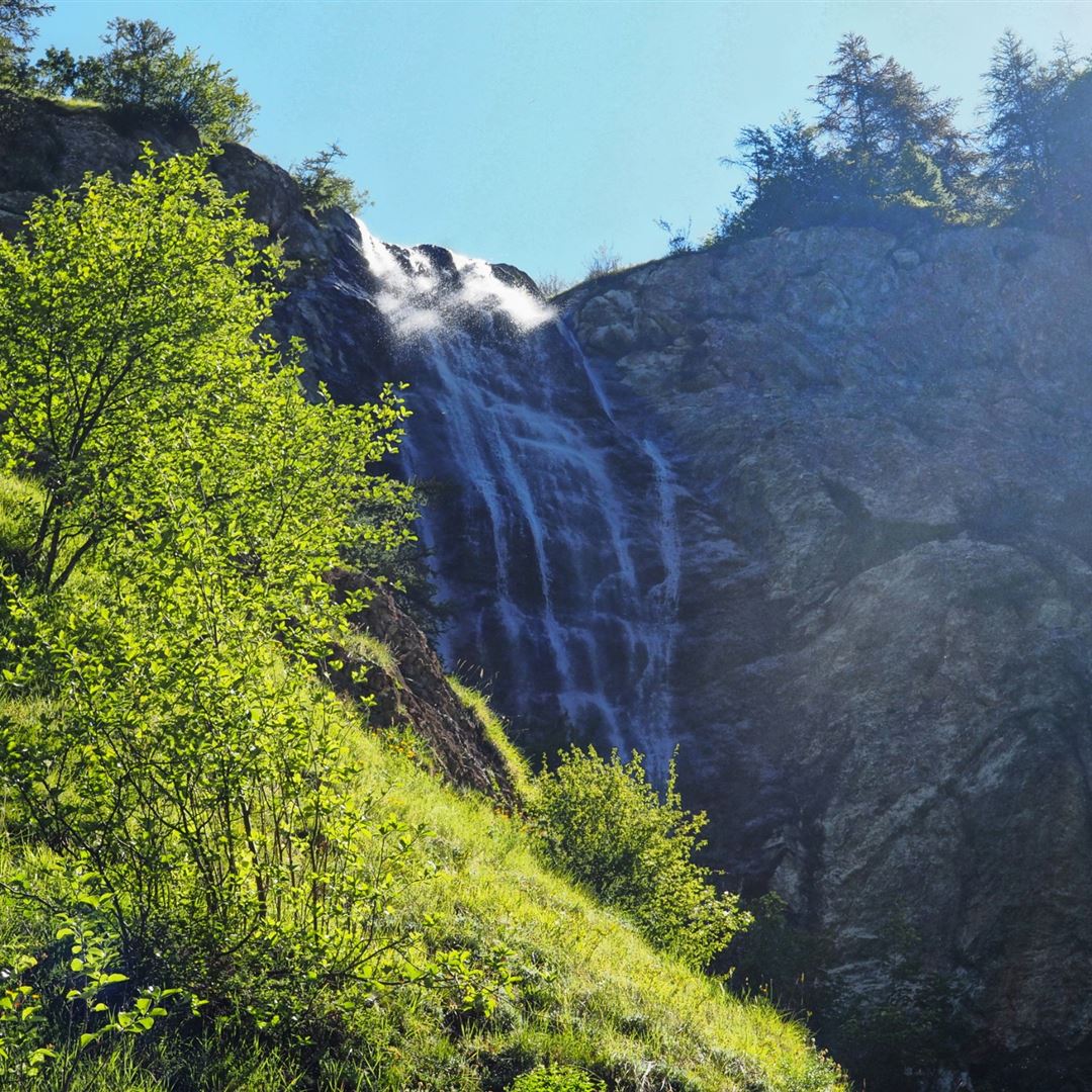
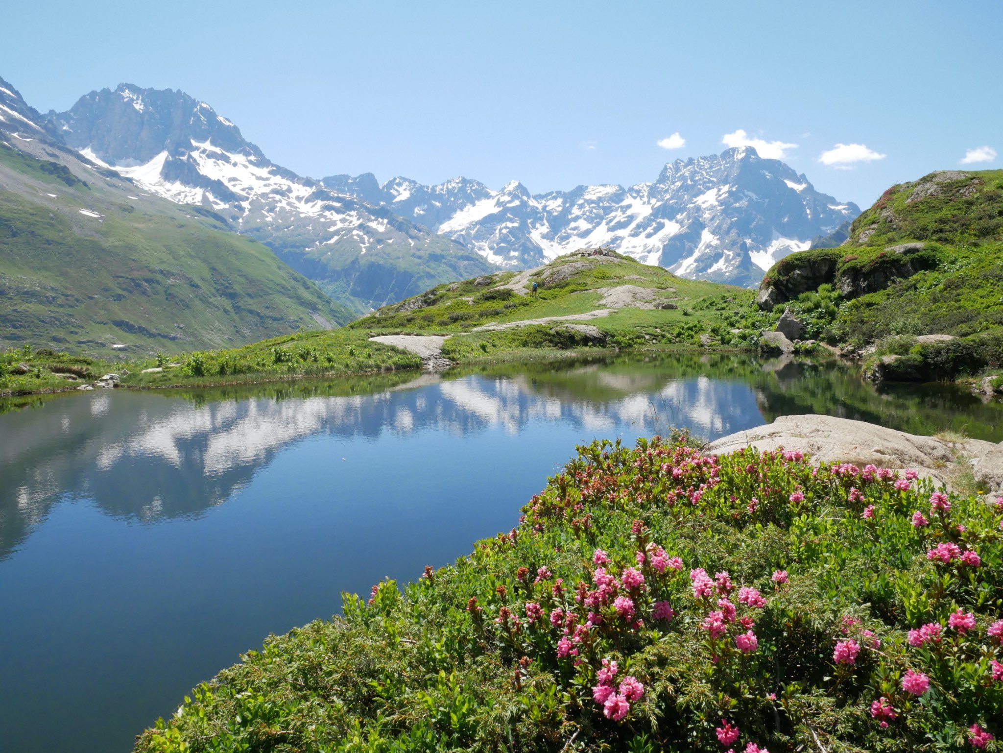
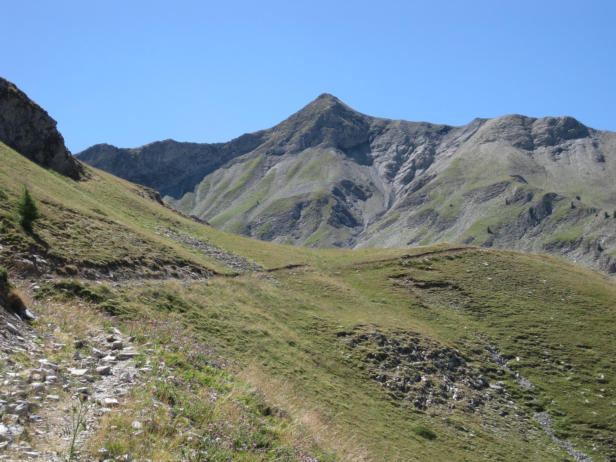
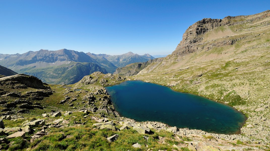
The start of this hike is at the summit of Drouvet, at 2,654 meters. The trail passes by Lac des Estaris before reaching Lac des Pisses at over 2,500 meters. The landscapes are very beautiful.
Warning: a short aerial portion can impress people prone to vertigo.

Already more than 200,000 users!
Uphill
606m
Highest point
2697m
Downhill
606m
Lowest point
2418m
Route type
There and back
Download the map on your smartphone to save battery and rest assured to always keep access to the route, even without signal.
Includes IGN France and Swisstopo.
I indicate whether dogs are allowed or prohibited on this trail
From June to September
0 ratings
Also enjoy:

Already more than 200,000 users!