Uphill
542m
France > Provence-Alpes-Côte d'Azur > Hautes-Alpes > Écrins National Park
Length
7km
Duration
4h
Elev gain
542m
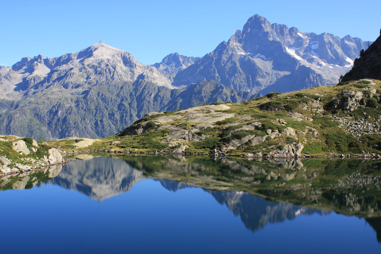
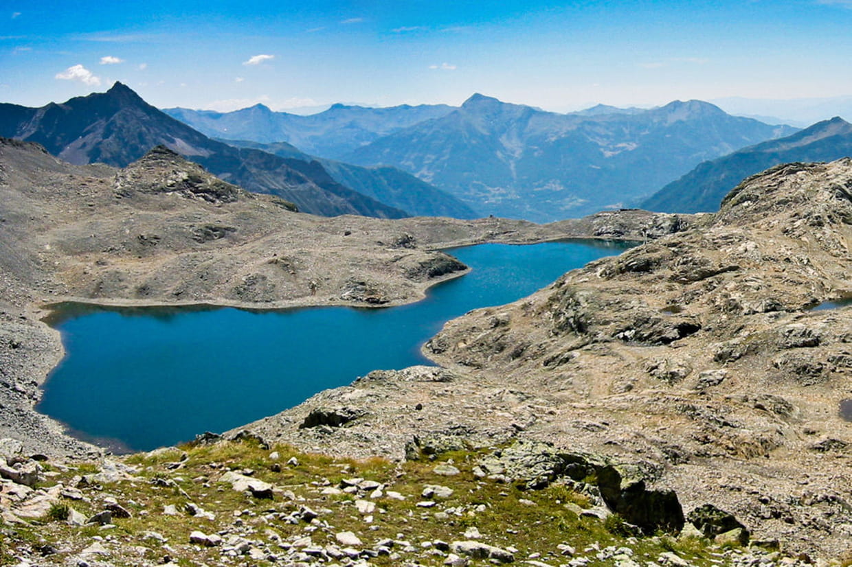
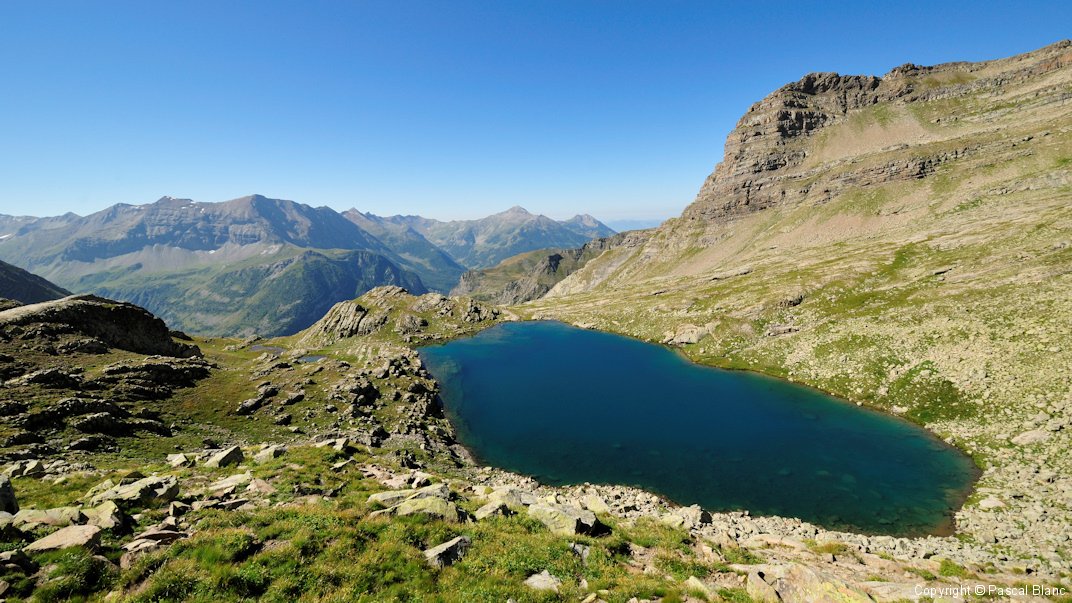
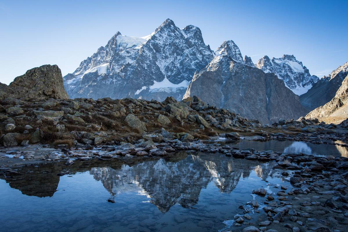
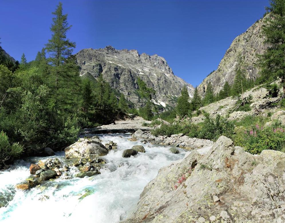
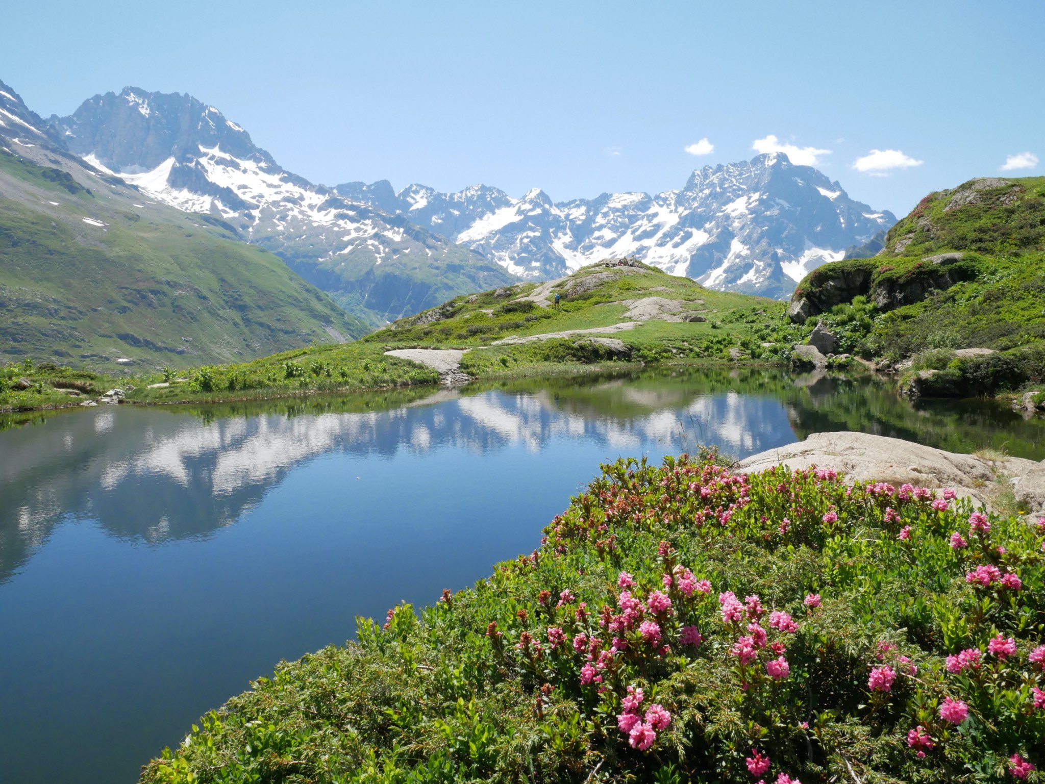
Hike in the magnificent Cirque du Gioberney, above the Voile de la Mariee waterfall.
On the program: waterfalls, Lac Bleu, Lac Lauzon, and pretty flowers in the spring.

Already more than 200,000 users!
Uphill
542m
Highest point
2178m
Downhill
542m
Lowest point
1650m
Route type
Loop
Download the map on your smartphone to save battery and rest assured to always keep access to the route, even without signal.
Includes IGN France and Swisstopo.
3 ratings
Also enjoy:

Already more than 200,000 users!