Uphill
762m
France > Provence-Alpes-Côte d'Azur > Hautes-Alpes > Écrins National Park
Length
9km
Duration
5h
Elev gain
762m
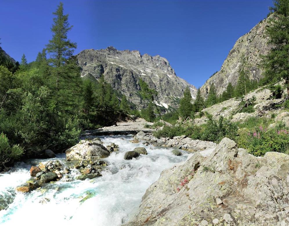
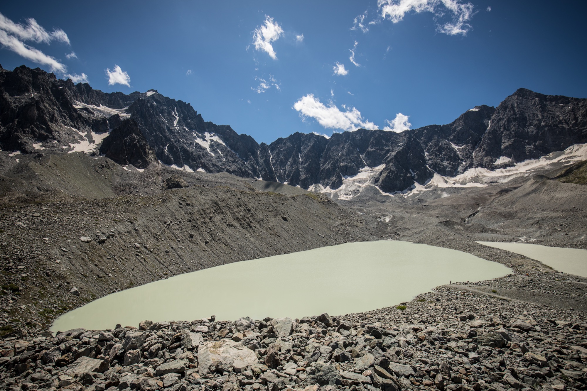
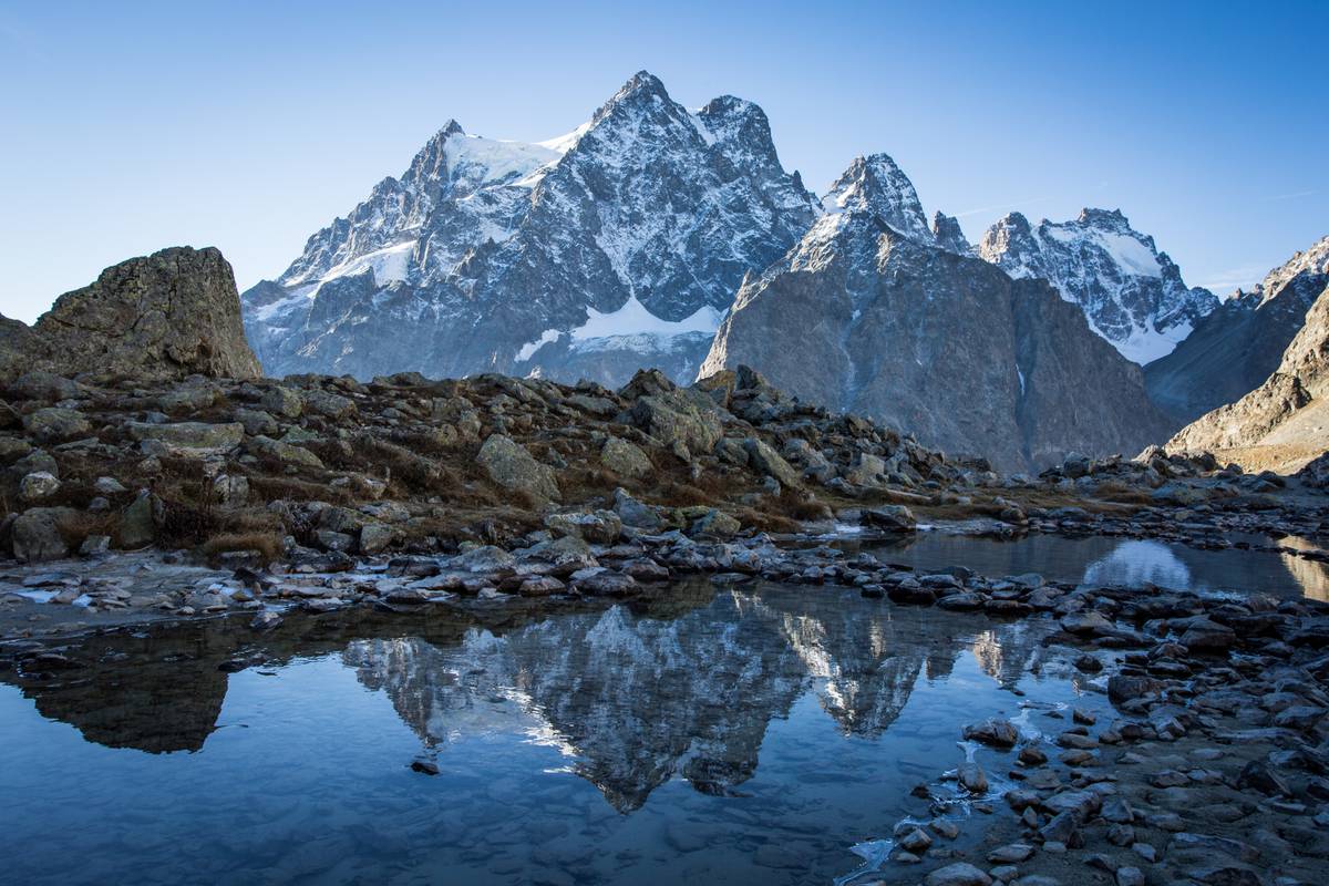
Nice hike in the middle of nature from the Refuge Cézanne. The trail crosses the Gyronde torrent and runs along Lake Tuckett. Once you reach the Refuge du Glacier Blanc, the view is magnificent. Please note that the trail is rocky and very busy in the heart of summer.

Already more than 200,000 users!
Uphill
762m
Highest point
2538m
Downhill
762m
Lowest point
1859m
Route type
There and back
Download the map on your smartphone to save battery and rest assured to always keep access to the route, even without signal.
Includes IGN France and Swisstopo.
2 ratings
Also enjoy:

Already more than 200,000 users!