Uphill
610m
Length
7km
Duration
4h
Elev gain
610m
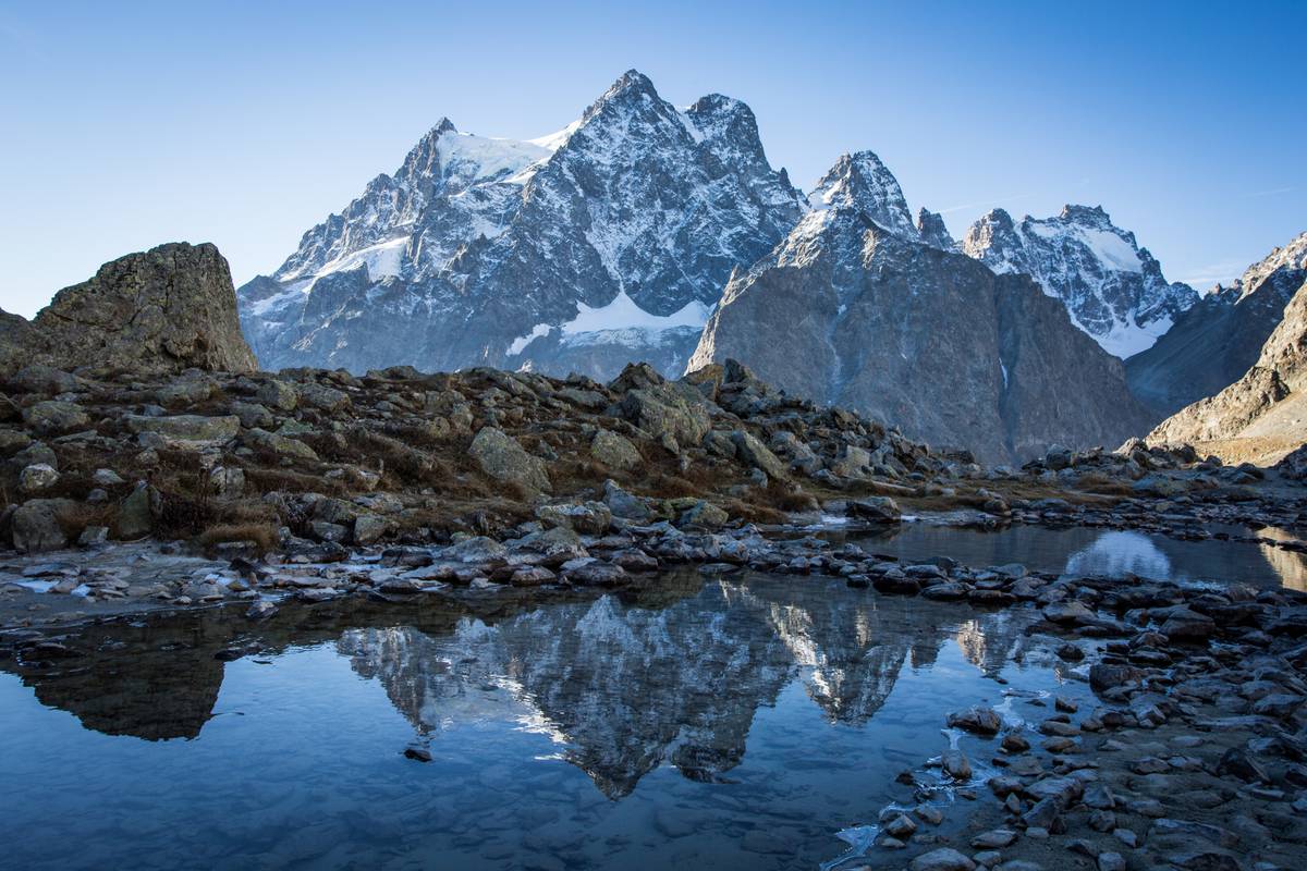
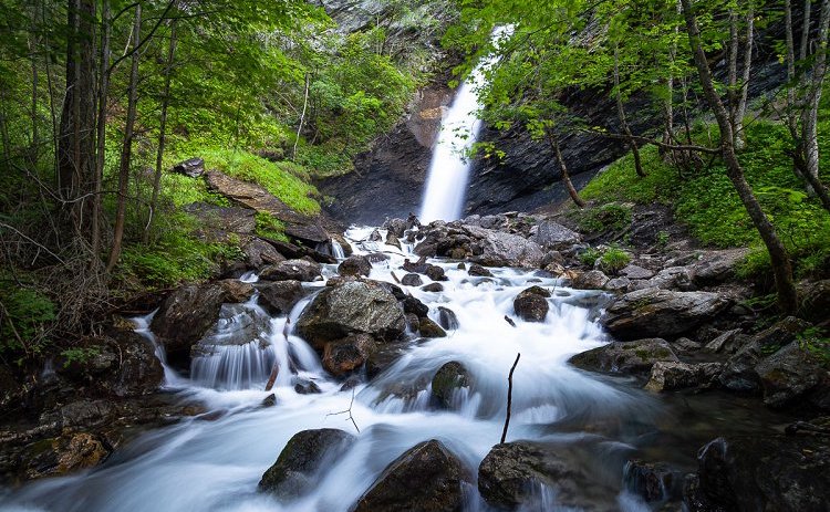
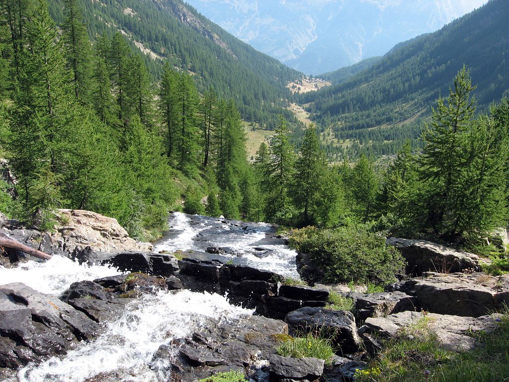
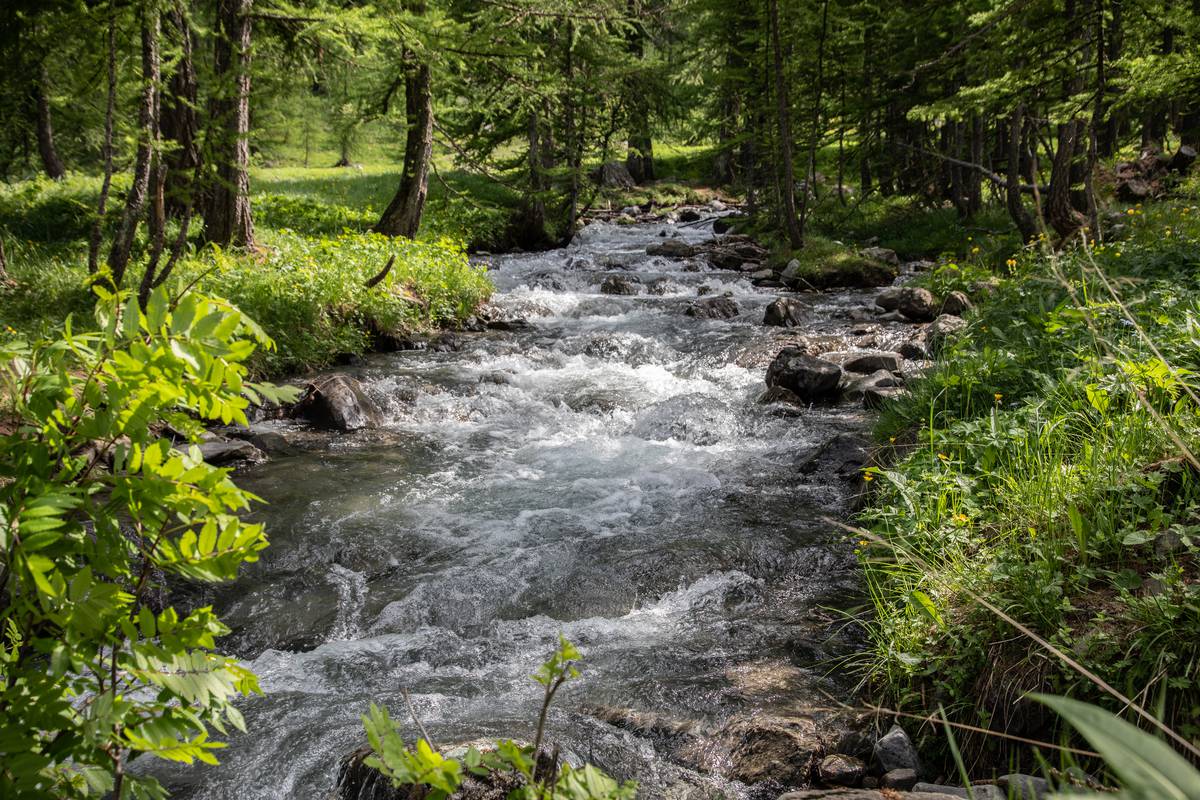
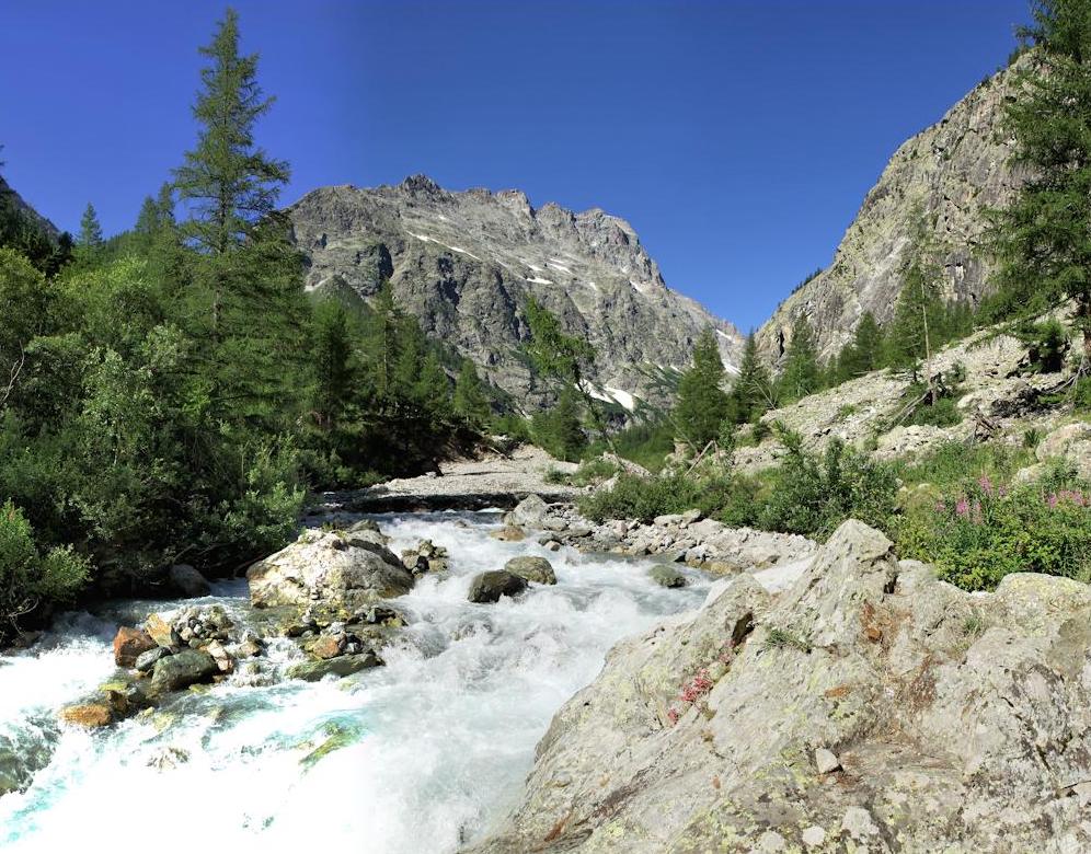
Round trip hike with a bit of a steep climb, but in the shade of the trees. We recommend geting there early in order to be able to observe the chamois.

Already more than 200,000 users!
Uphill
610m
Highest point
2158m
Downhill
610m
Lowest point
1539m
Route type
There and back
Download the map on your smartphone to save battery and rest assured to always keep access to the route, even without signal.
Includes IGN France and Swisstopo.
I indicate whether dogs are allowed or prohibited on this trail
From May to September
0 ratings
Also enjoy:

Already more than 200,000 users!