Uphill
277m
Length
5km
Duration
2h
Elev gain
277m
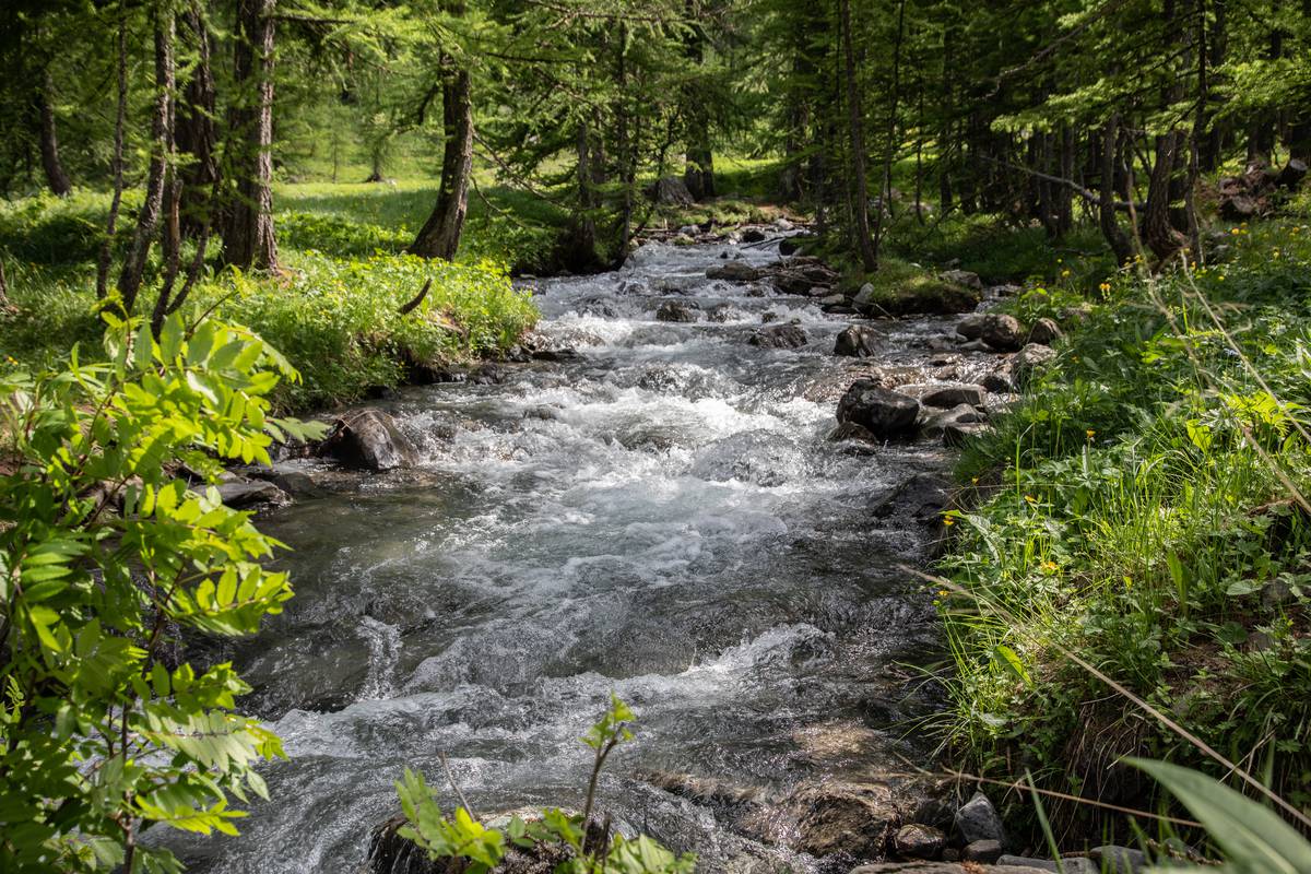
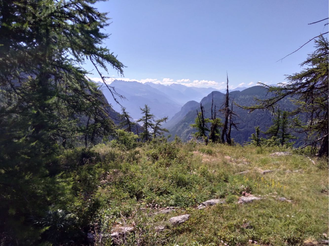
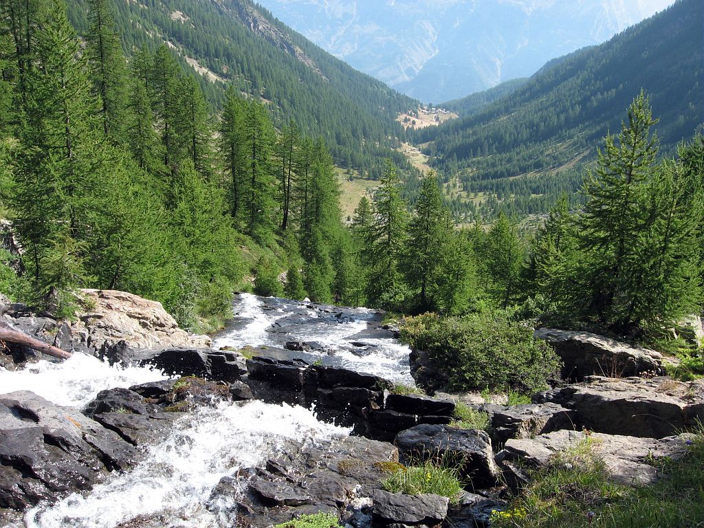
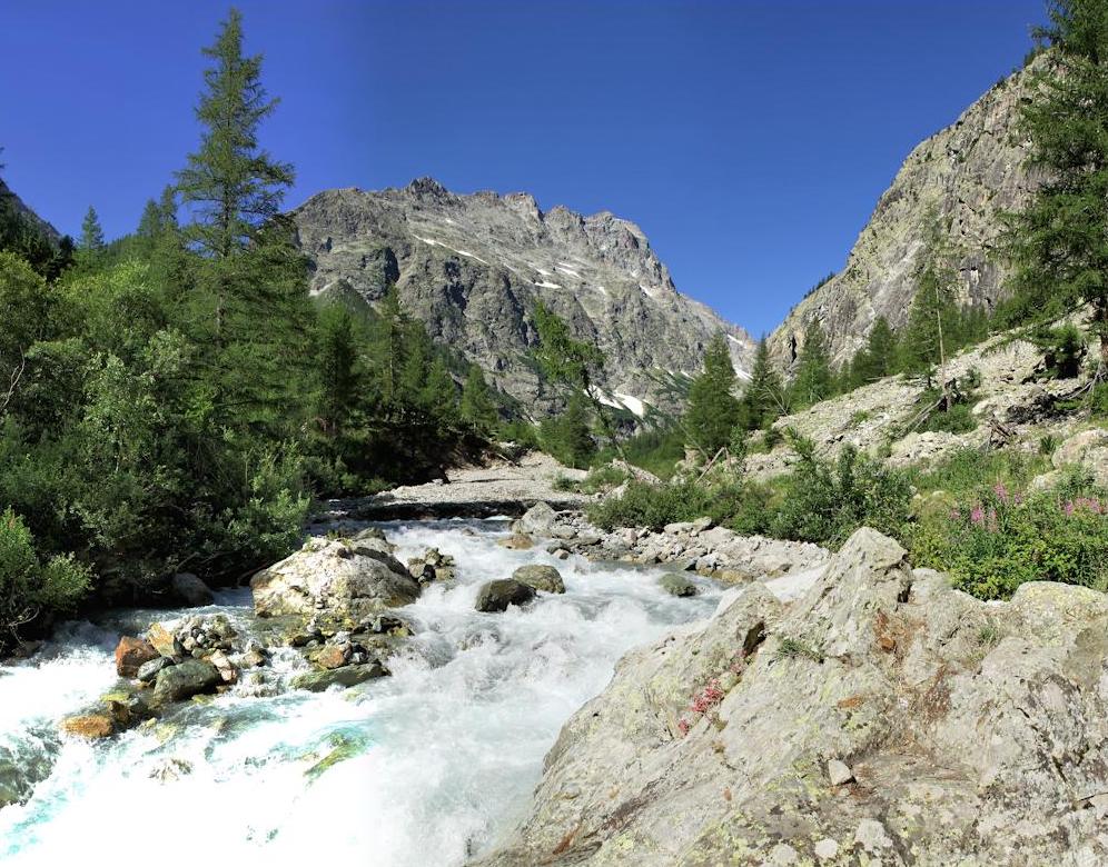
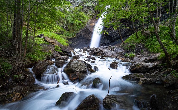
Nice hike starting from the Gérendoine bridge. On the outward journey, the trail passes by the Pissette waterfall before continuing through the forest. The return runs along the Onde torrent and takes the GR54 to reach the starting point. A hike accessible to all with beautiful landscapes.

Already more than 200,000 users!
Uphill
277m
Highest point
1449m
Downhill
277m
Lowest point
1155m
Route type
Loop
Download the map on your smartphone to save battery and rest assured to always keep access to the route, even without signal.
Includes IGN France and Swisstopo.
I indicate whether dogs are allowed or prohibited on this trail
Can be difficult in Winter
1 rating
Also enjoy:

Already more than 200,000 users!