Uphill
314m
Length
6km
Duration
2h30min
Elev gain
314m
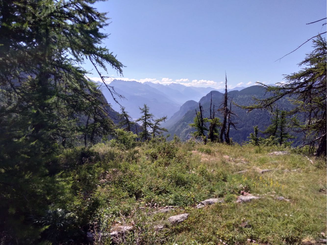
Departing from Puy-Saint-Vincent 1800, this hike joins the Tête d'Oréac for a beautiful view of the surroundings, then the Lac des Hermes. Note that the trail mainly runs through a ski area.

Already more than 200,000 users!
Uphill
314m
Highest point
2067m
Downhill
314m
Lowest point
1756m
Route type
Loop
Download the map on your smartphone to save battery and rest assured to always keep access to the route, even without signal.
Includes IGN France and Swisstopo.
I indicate whether dogs are allowed or prohibited on this trail
From May to September
0 ratings
Also enjoy:

Already more than 200,000 users!