Uphill
815m

Length
11km
Duration
5h30min
Elev gain
815m
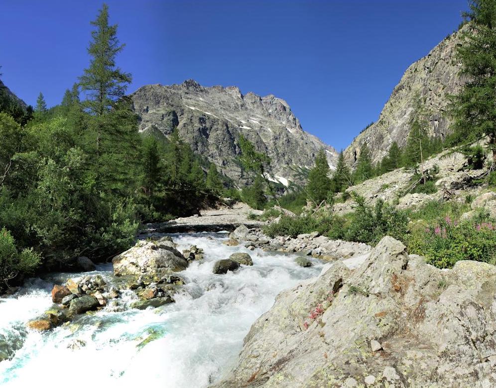
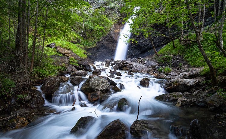
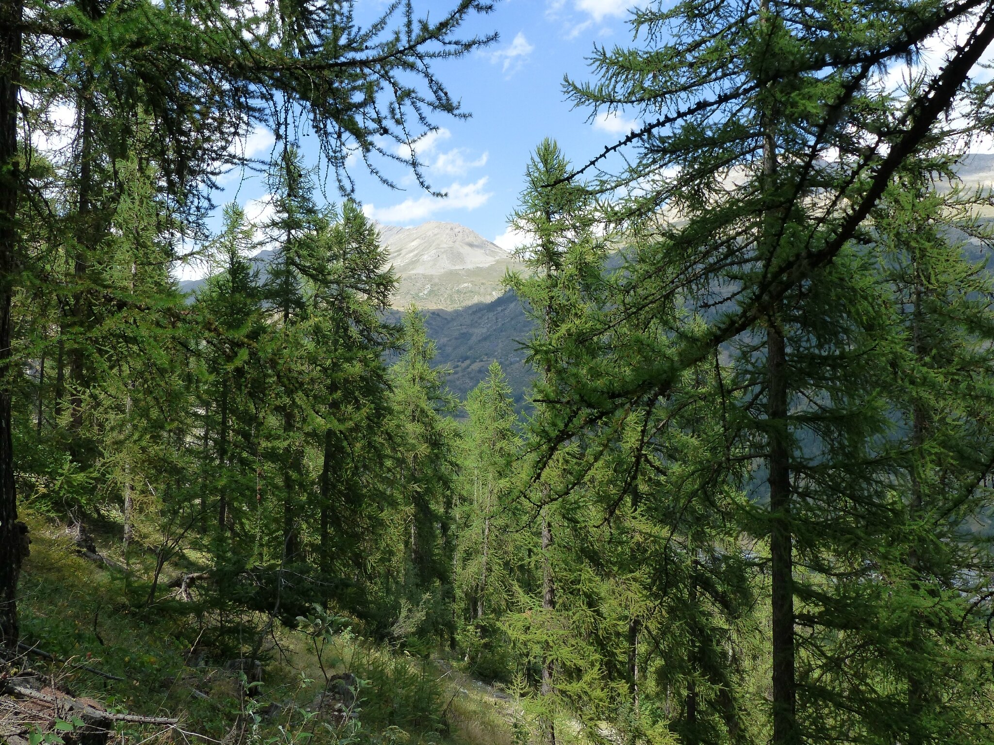
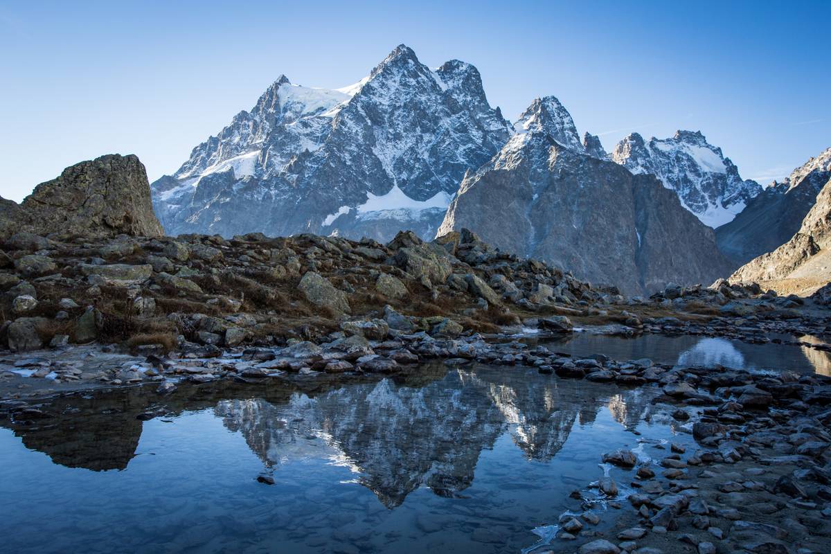
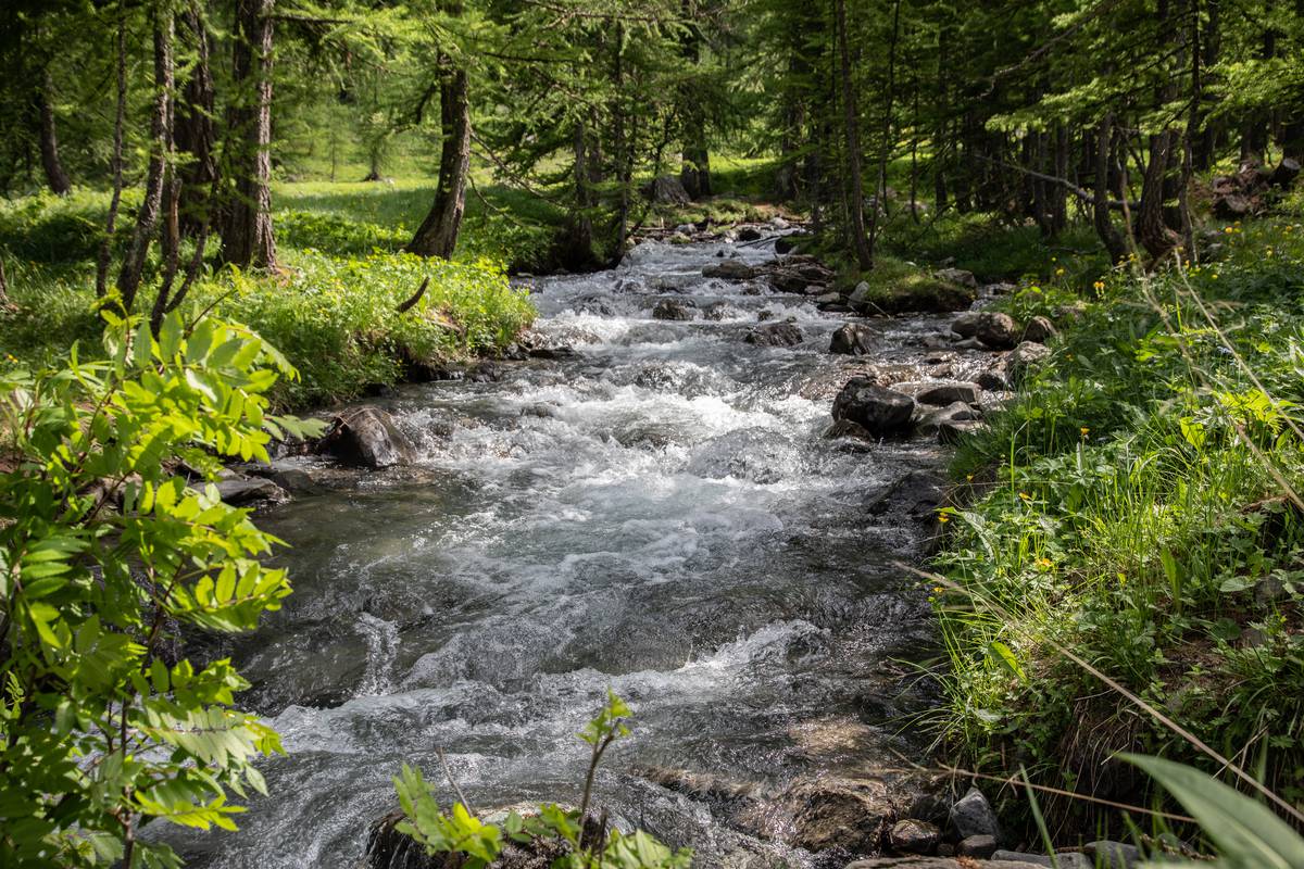
Round trip hike to the beautiful Lake Eychauda, located at an altitude of 2,514 meters in a mineral environment. It is a glacial lake that thaws only a few months a year.
The bravest hikers can continue to the Col des Grangettes, for a magnificent view of the lake and the surrounding area.

Already more than 200,000 users!
Uphill
815m
Highest point
2508m
Downhill
815m
Lowest point
1710m
Route type
There and back
Download the map on your smartphone to save battery and rest assured to always keep access to the route, even without signal.
Includes IGN France and Swisstopo.
I indicate whether dogs are allowed or prohibited on this trail
From June to September
3 ratings
Also enjoy:

Already more than 200,000 users!