Uphill
201m
Length
6km
Duration
2h
Elev gain
201m
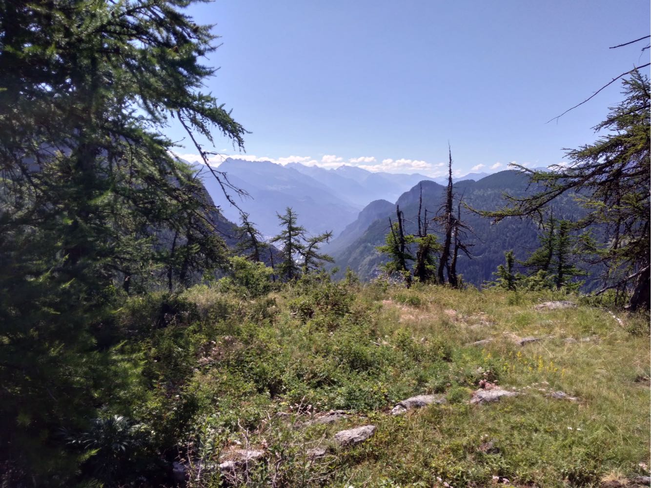
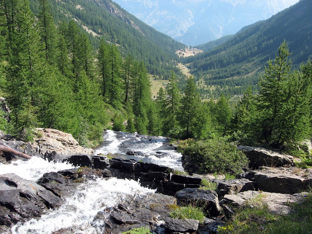
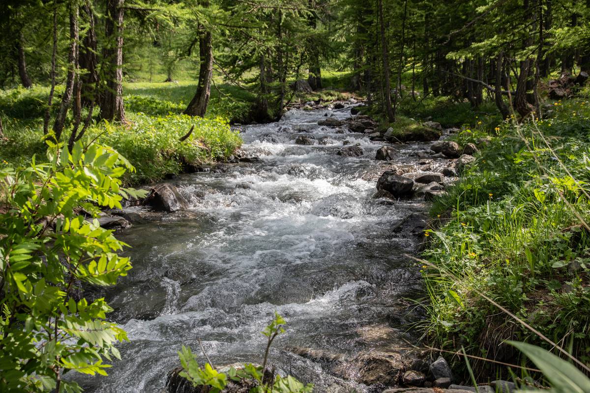
Departing from Puy-Saint-Vincent ski resort, this walk heads to the Narreyroux valley and the Notre-Dame chapel. The path is mainly shaded and offers a nice view of Vallouise.

Already more than 200,000 users!
Uphill
201m
Highest point
1798m
Downhill
201m
Lowest point
1702m
Route type
There and back
Download the map on your smartphone to save battery and rest assured to always keep access to the route, even without signal.
Includes IGN France and Swisstopo.
I indicate whether dogs are allowed or prohibited on this trail
From May to October
0 ratings
Also enjoy:

Already more than 200,000 users!