Uphill
993m
Length
10km
Duration
6h30min
Elev gain
993m
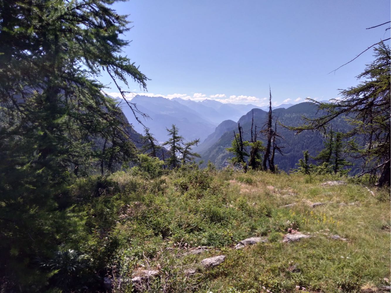
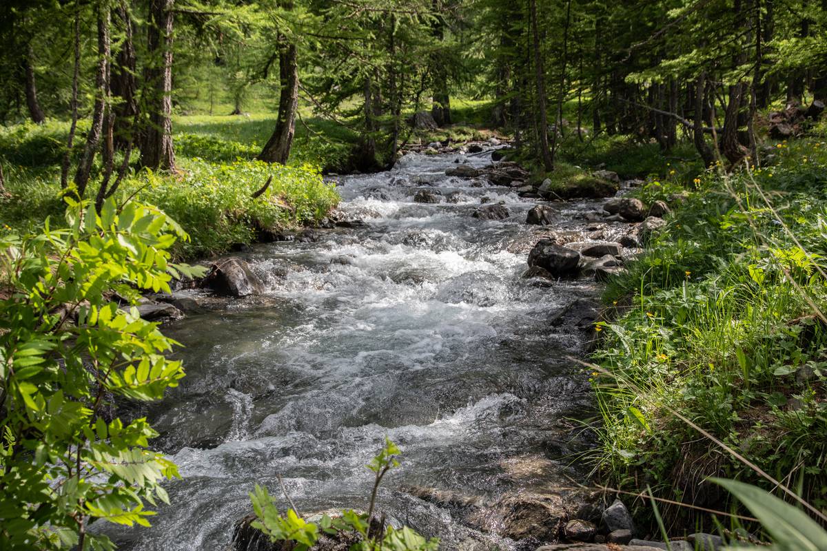
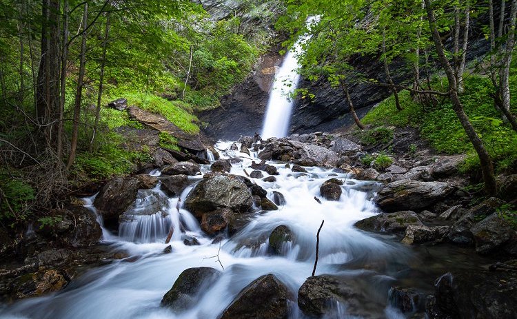
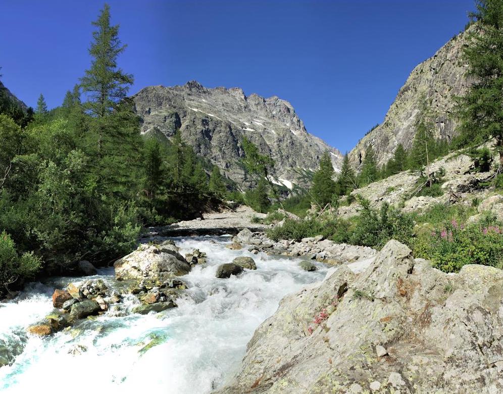
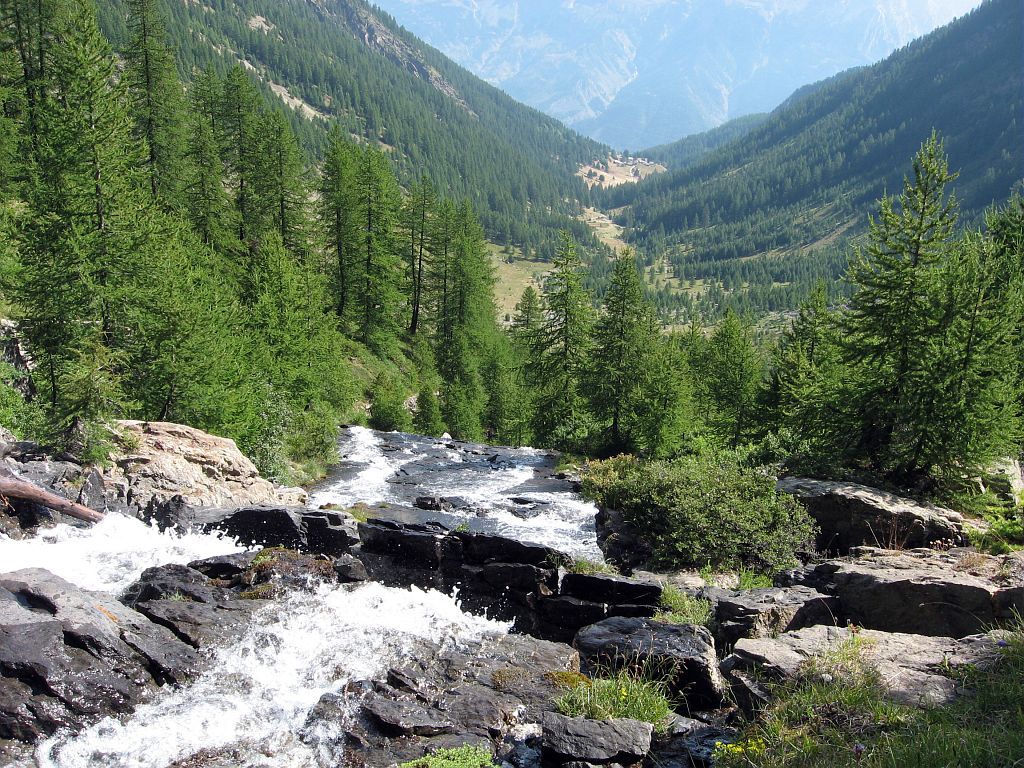
Departing from the beautiful Narreyroux valley, this there and back trail allows you to discover a waterfall, before joining La Pendine (2,748 m). This constitutes a belvedere on the Ecrins and the Queyras.

Already more than 200,000 users!
Uphill
993m
Highest point
2734m
Downhill
990m
Lowest point
1853m
Route type
There and back
Download the map on your smartphone to save battery and rest assured to always keep access to the route, even without signal.
Includes IGN France and Swisstopo.
Parking at the start of the hike, next to the bridge. This requires taking a track for a few kilometers.
I indicate whether dogs are allowed or prohibited on this trail
From June to September
0 ratings
Also enjoy:

Already more than 200,000 users!