Uphill
1000m
Length
17km
Duration
7h30min
Elev gain
1000m
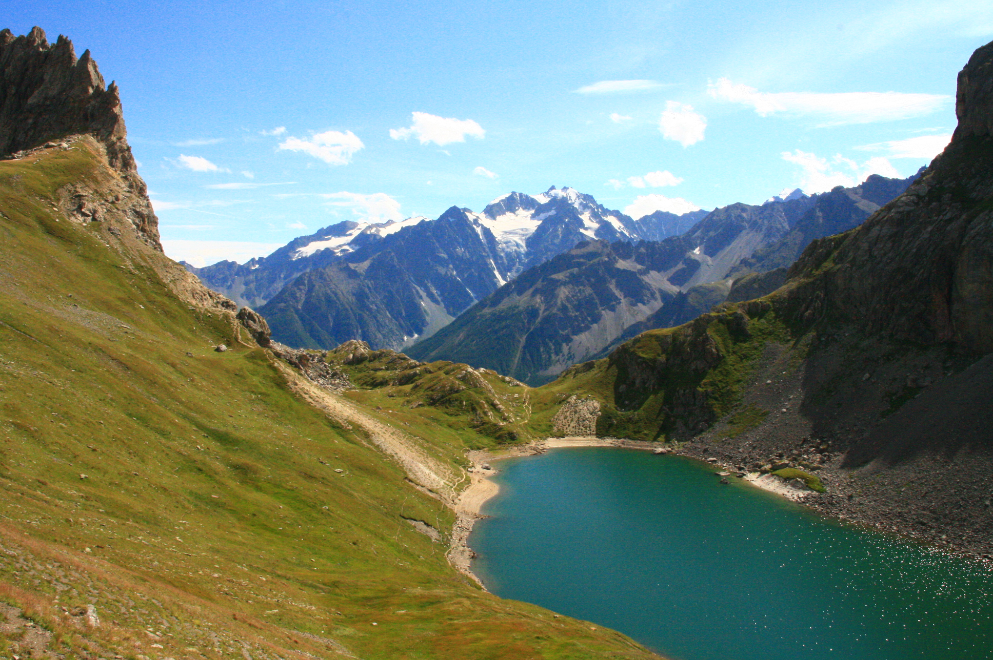
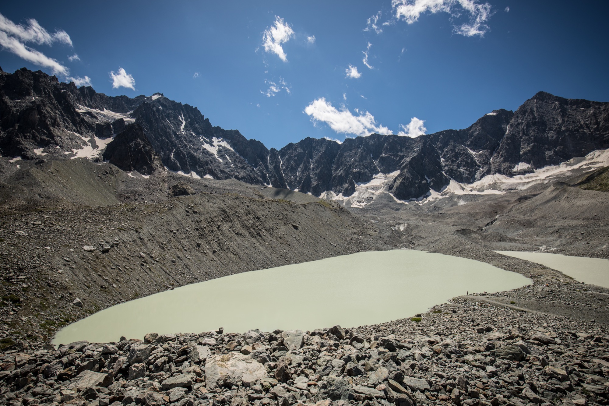
Round trip to Lac d'Arsine, via Lac de la Douche. The first one is growing steadily, is it is the result of the melting of a nearby glacier.

Already more than 200,000 users!
Uphill
1000m
Highest point
2476m
Downhill
1000m
Lowest point
1510m
Route type
There and back
Download the map on your smartphone to save battery and rest assured to always keep access to the route, even without signal.
Includes IGN France and Swisstopo.
I indicate whether dogs are allowed or prohibited on this trail
From June to September
1 rating
Also enjoy:

Already more than 200,000 users!