Uphill
604m
Length
9km
Duration
4h30min
Elev gain
604m
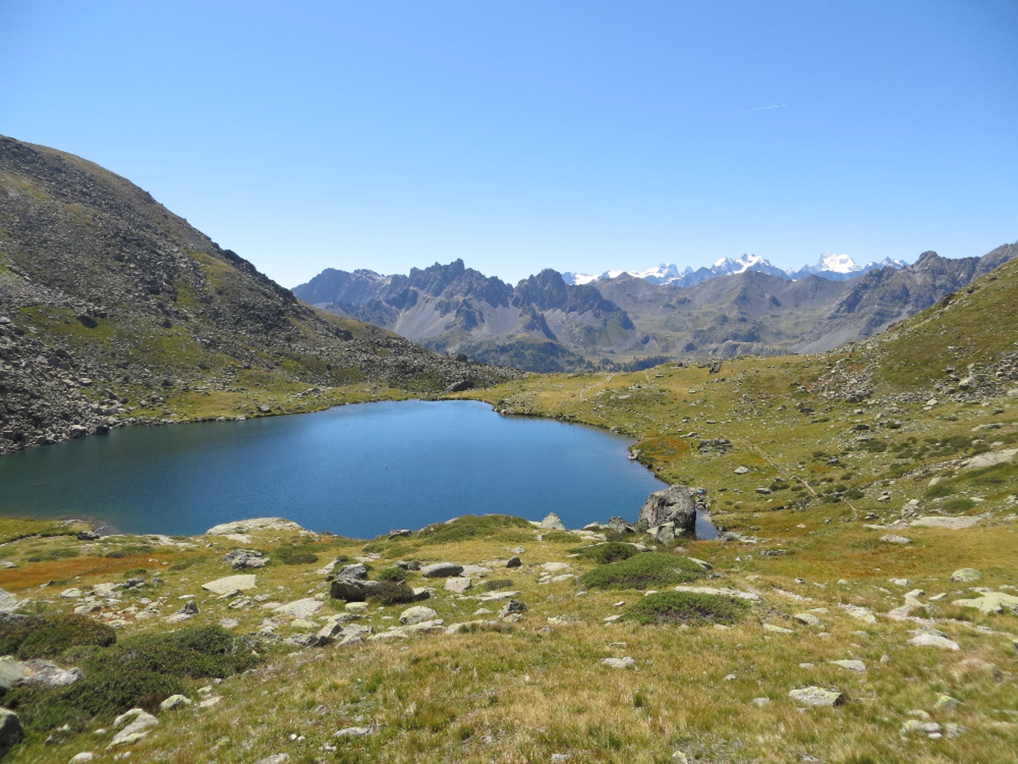
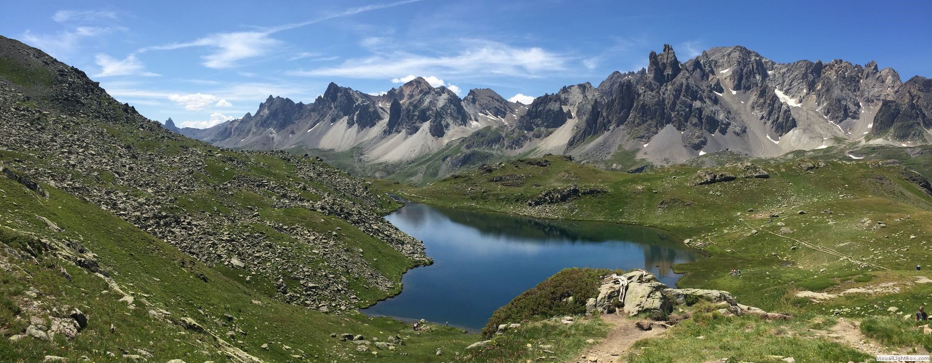
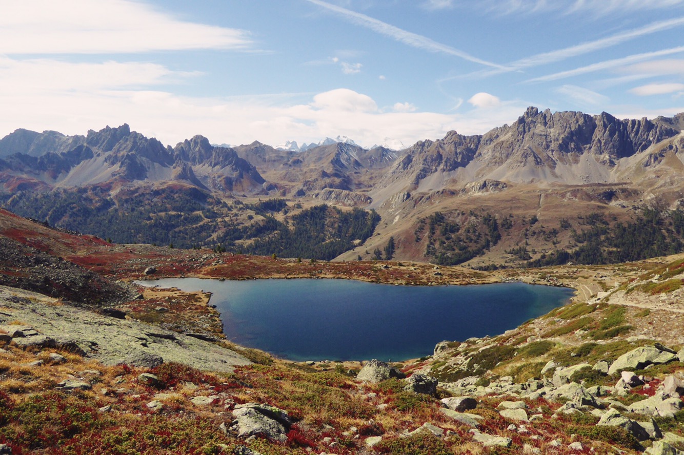
Round trip to Laramon and Serpent lakes. A classic from the Clarée valley, with beautiful water bodies and a stunning panorama of the Ecrins.

Already more than 200,000 users!
Uphill
604m
Highest point
2450m
Downhill
604m
Lowest point
1845m
Route type
There and back
Download the map on your smartphone to save battery and rest assured to always keep access to the route, even without signal.
Includes IGN France and Swisstopo.
I indicate whether dogs are allowed or prohibited on this trail
From June to September
1 rating
Also enjoy:

Already more than 200,000 users!