Uphill
841m
Length
17km
Duration
6h30min
Elev gain
841m
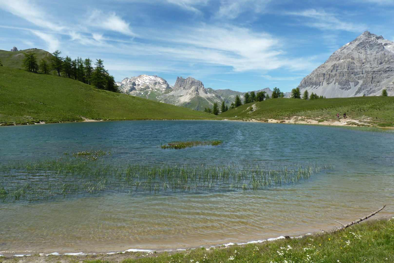
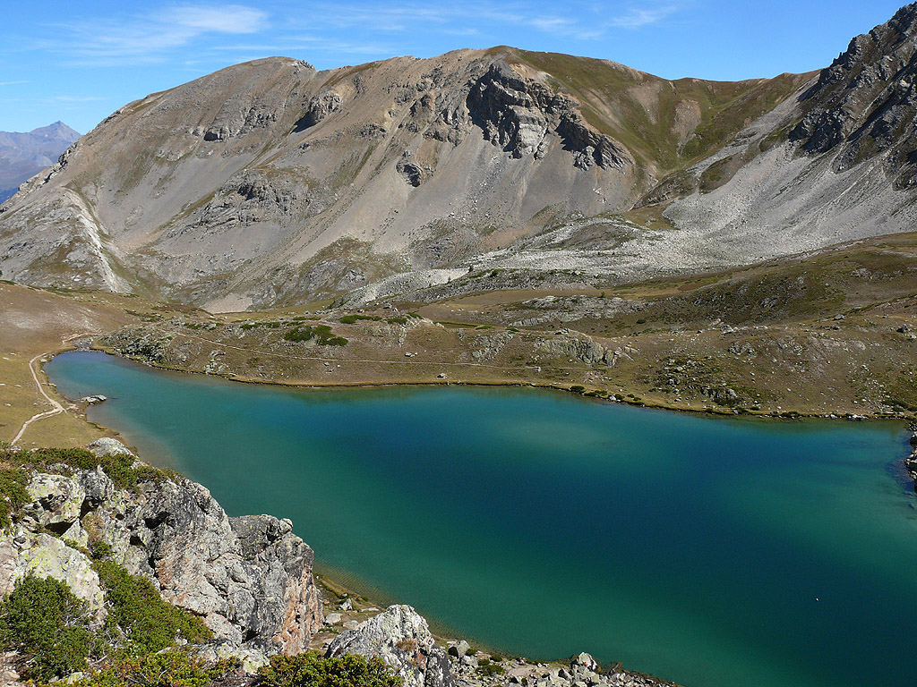
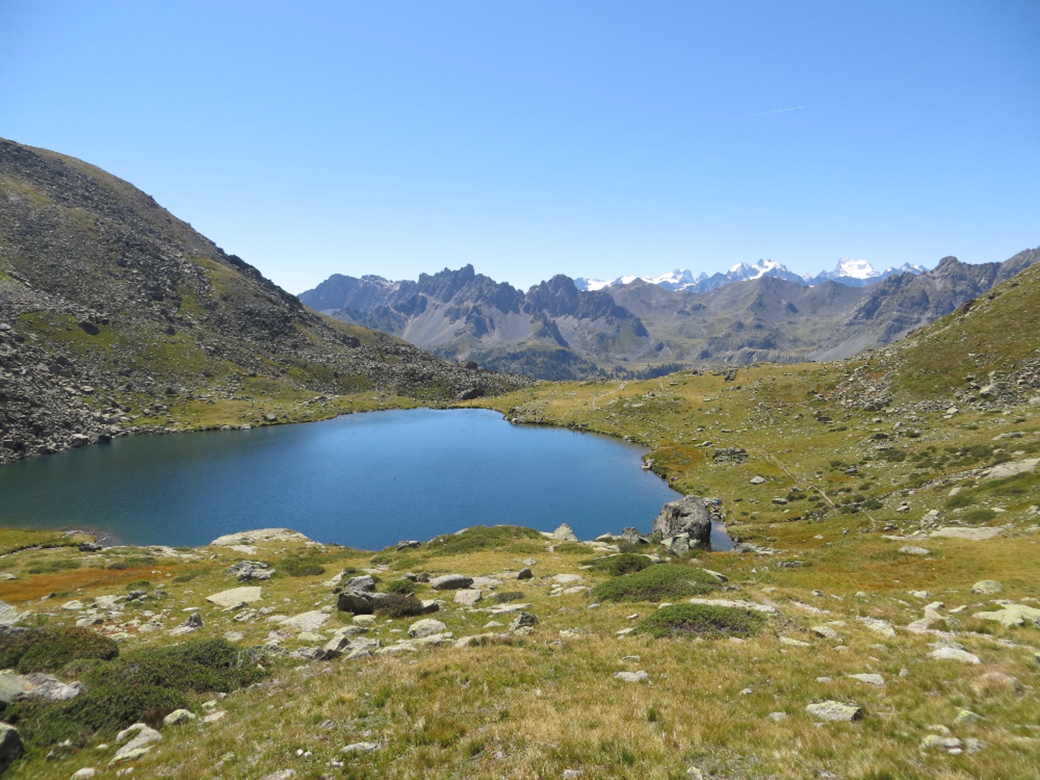
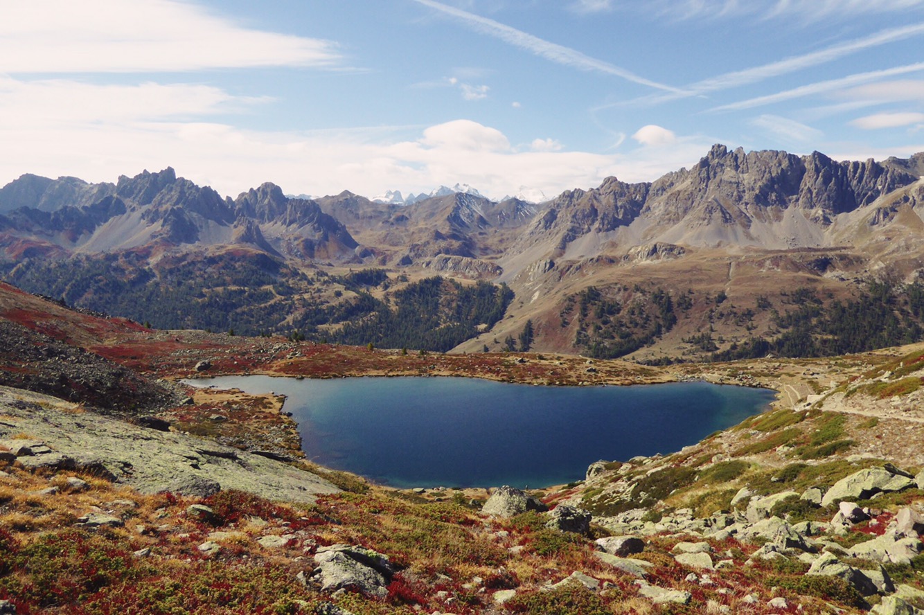
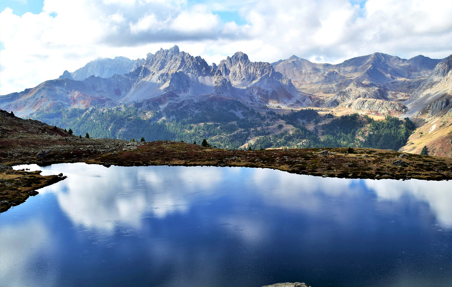
Leaving from Nevache, this path runs along the Clarée and passes through various hamlets: Basse Gardiole, Fontcouverte, la Chalanchette and Ricou. The view of the Ecrins is breathtaking. La Meije is also visible.

Already more than 200,000 users!
Uphill
841m
Highest point
2354m
Downhill
841m
Lowest point
1598m
Route type
Loop
Download the map on your smartphone to save battery and rest assured to always keep access to the route, even without signal.
Includes IGN France and Swisstopo.
I indicate whether dogs are allowed or prohibited on this trail
From May to September
0 ratings
Also enjoy:

Already more than 200,000 users!