Uphill
751m
Length
12km
Duration
5h30min
Elev gain
751m
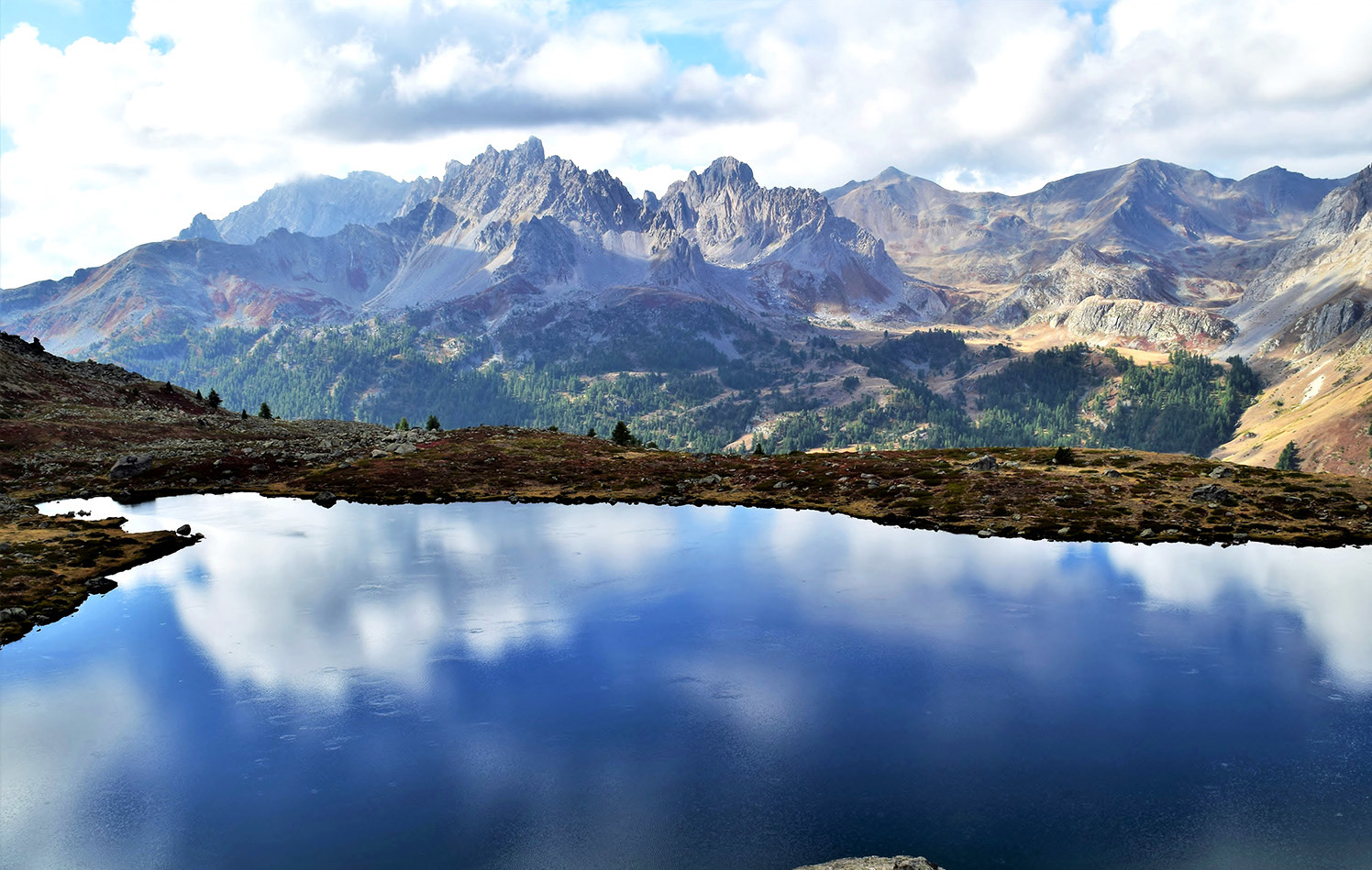
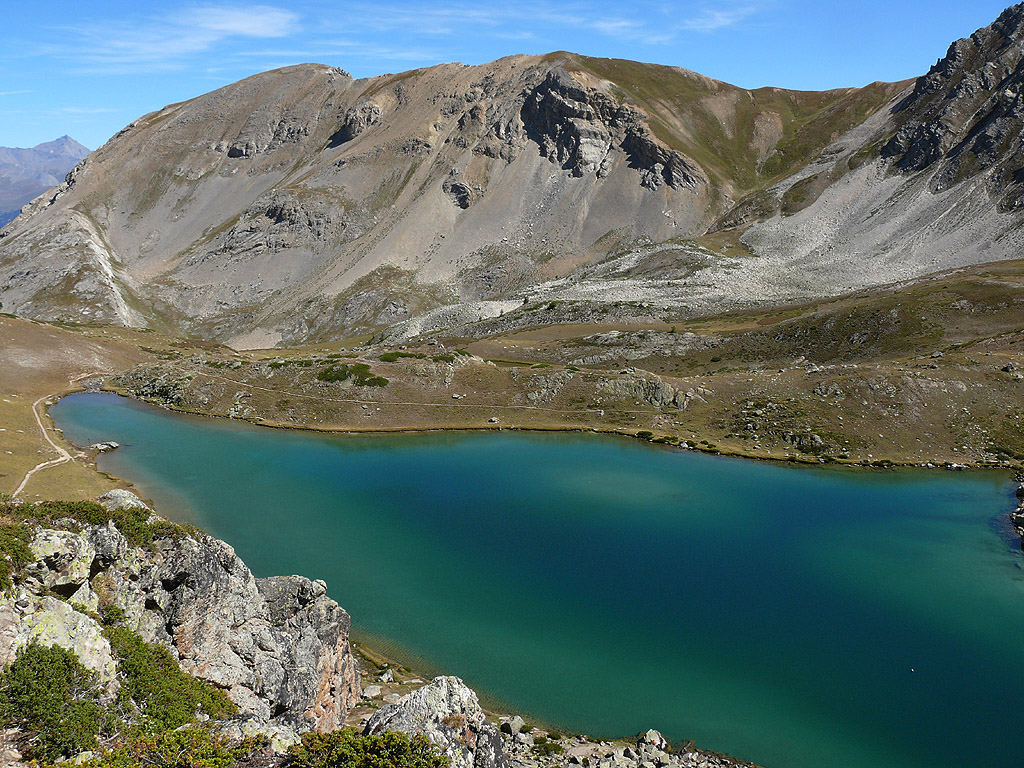
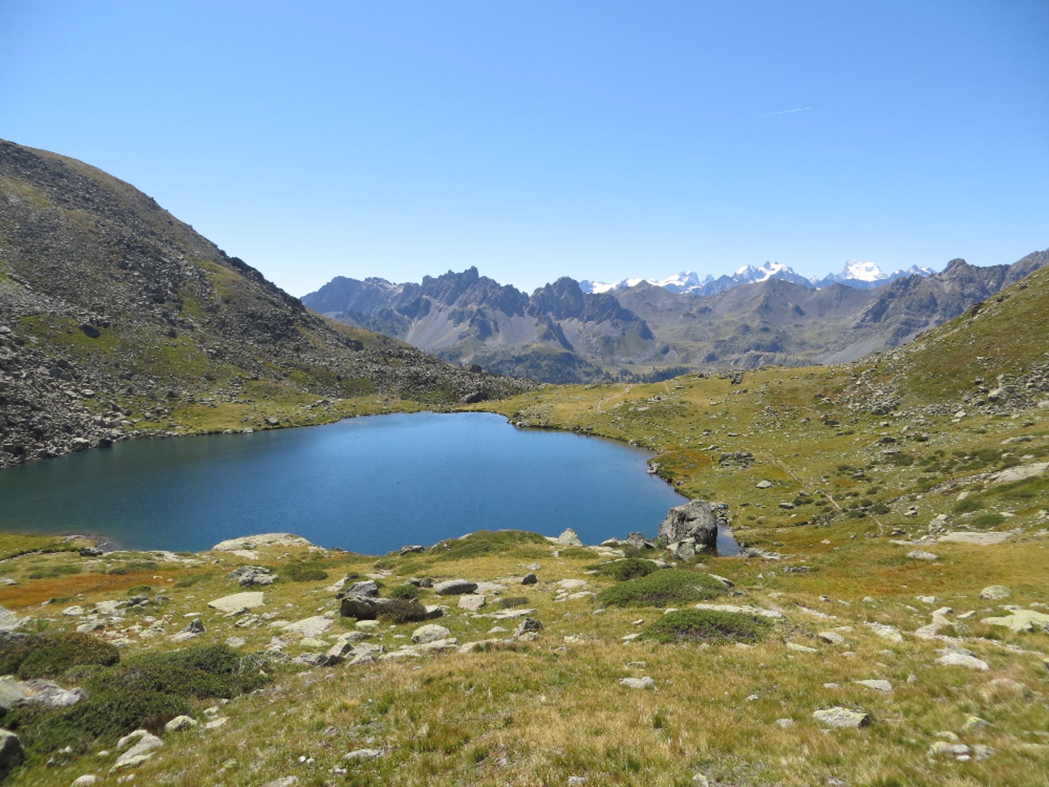
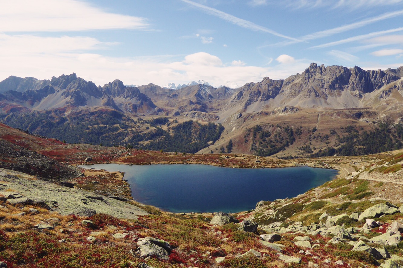
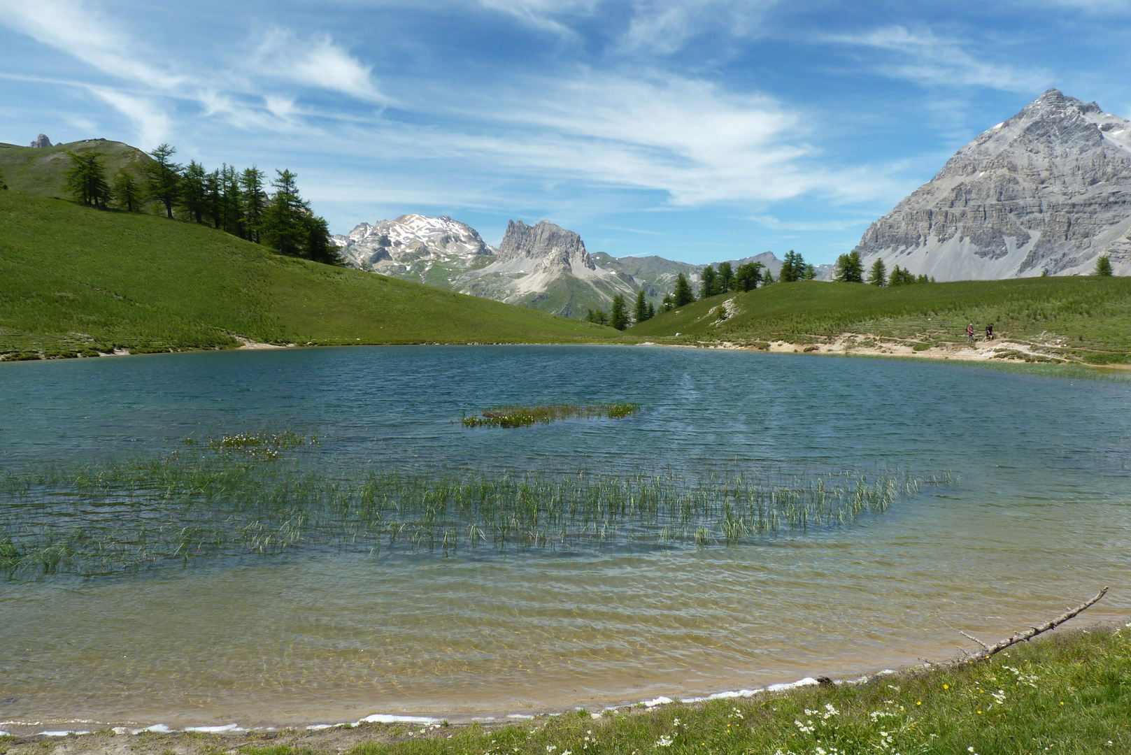
Round trip to the Col des Thures and Lake Chavillon. Nice view of the surrounding mountains.

Already more than 200,000 users!
Uphill
751m
Highest point
2213m
Downhill
751m
Lowest point
1710m
Route type
There and back
Download the map on your smartphone to save battery and rest assured to always keep access to the route, even without signal.
Includes IGN France and Swisstopo.
I indicate whether dogs are allowed or prohibited on this trail
From May to September
0 ratings
Also enjoy:

Already more than 200,000 users!