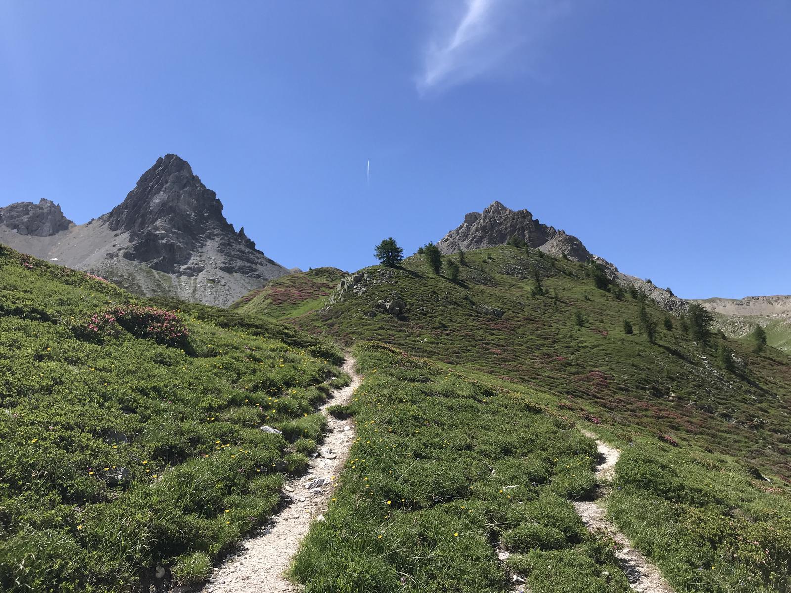
Uphill
567m
Length
6km
Duration
3h30min
Elev gain
567m
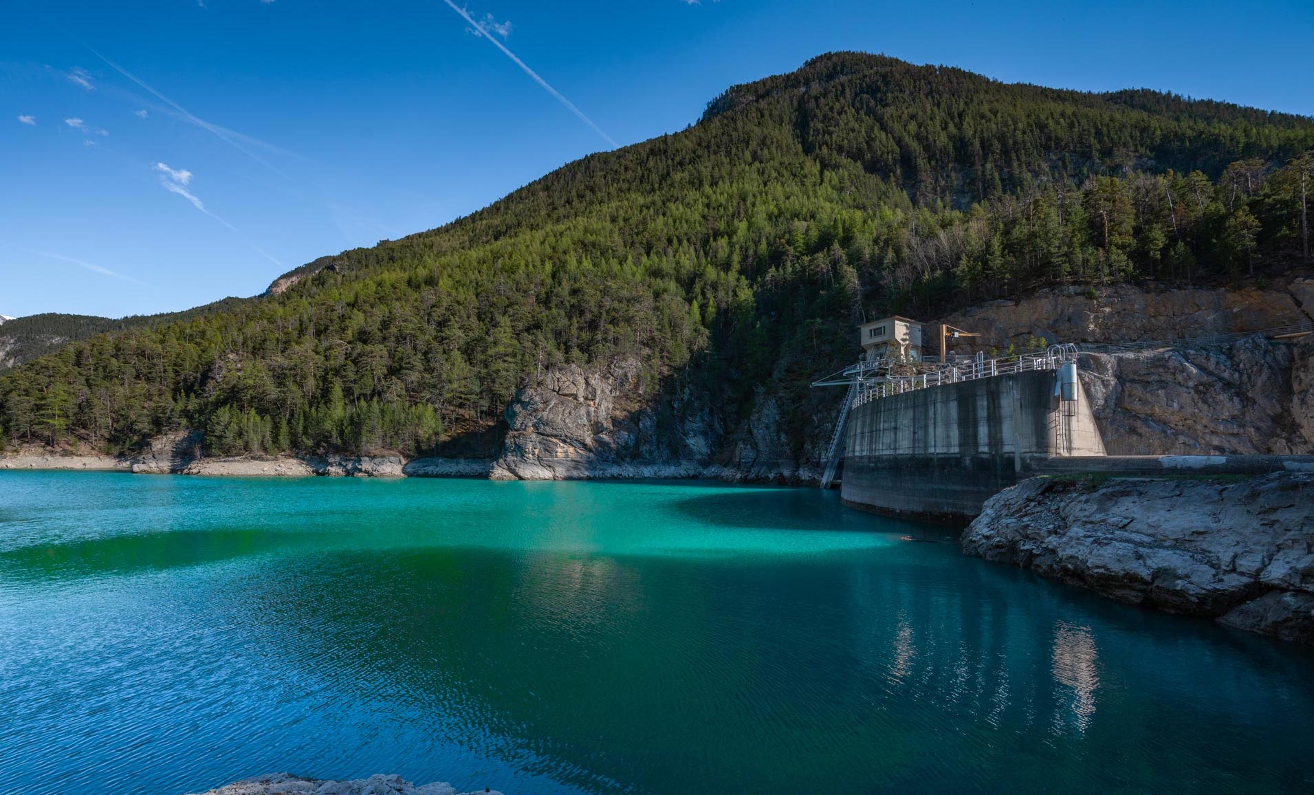
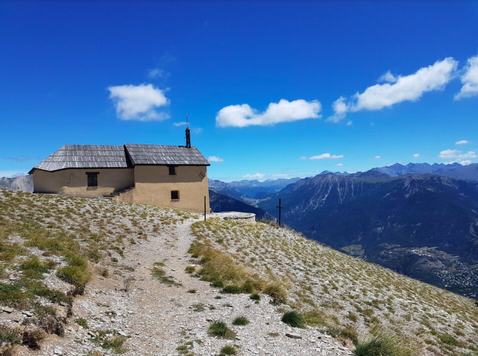
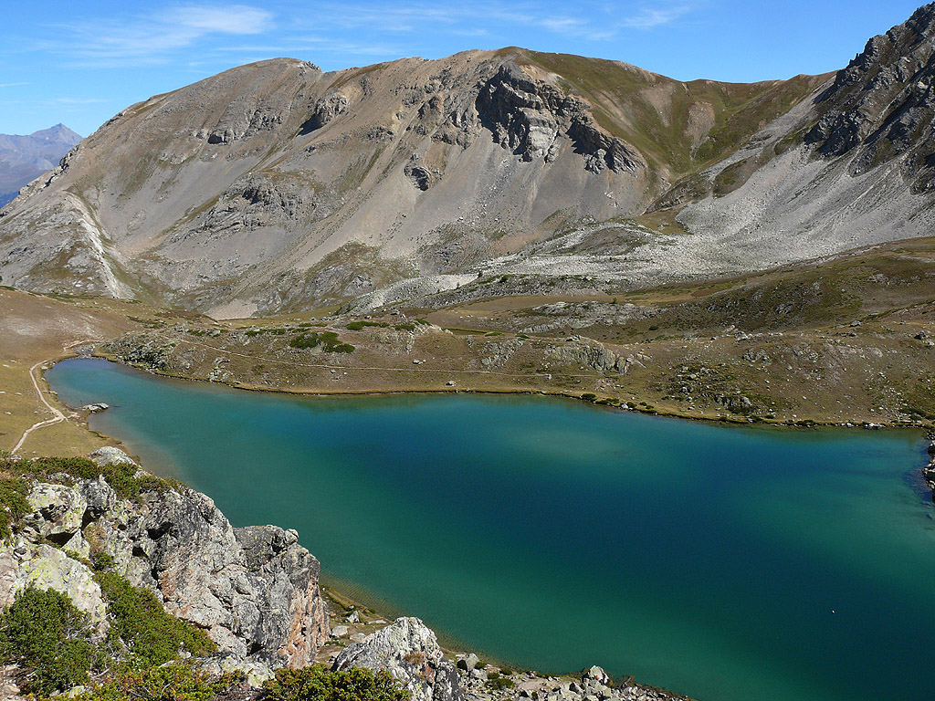
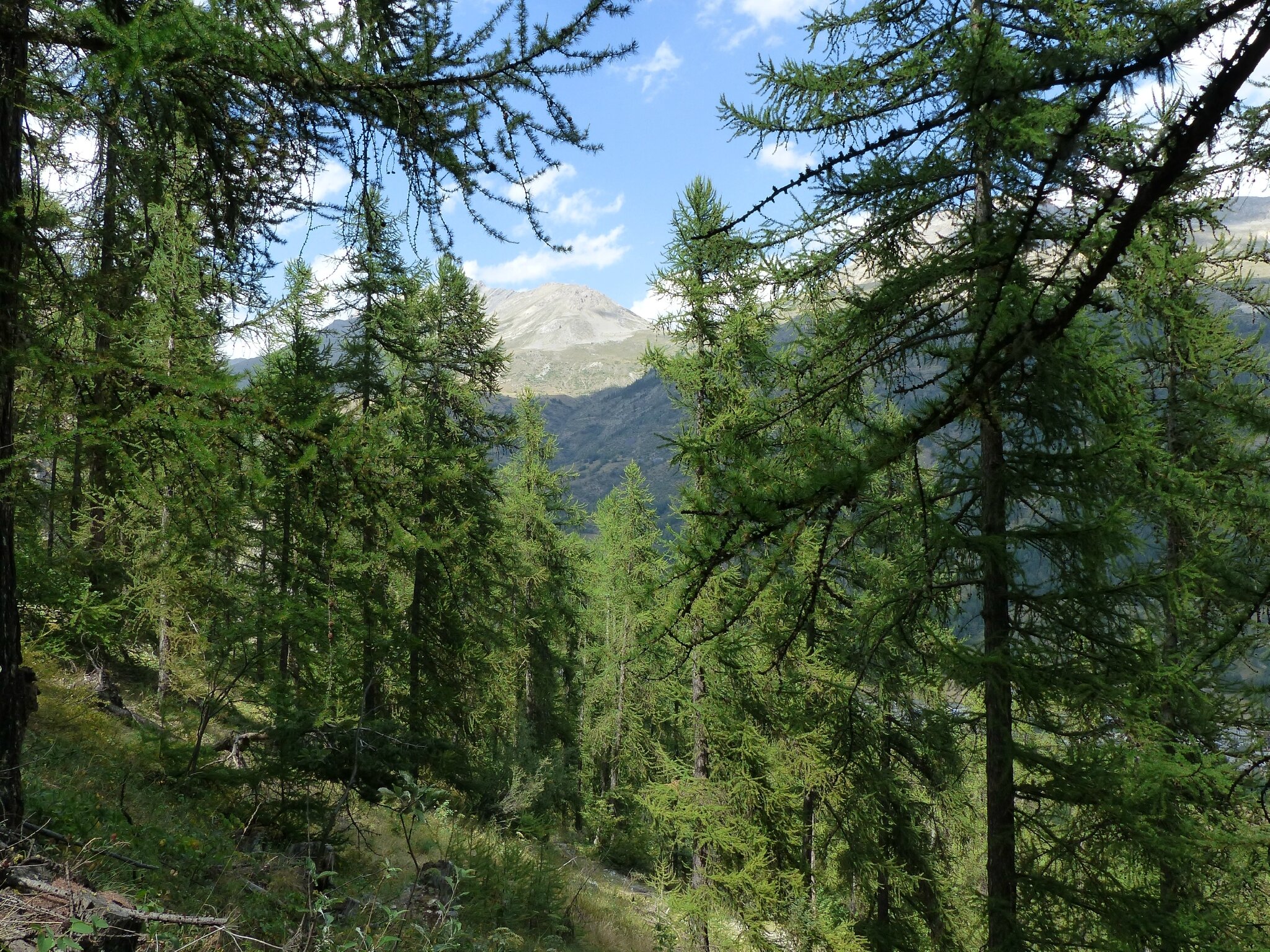
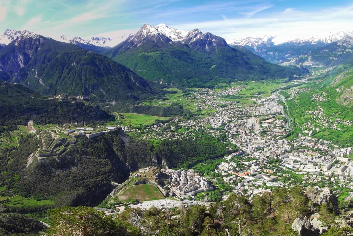
This hike starts north of the town of Briançon near the Fort des Salettes. The climb is via a stony path and quickly offers a beautiful panoramic view of the city. The cross itself is 1,962 meters above sea level.

Already more than 200,000 users!
Uphill
567m
Highest point
1952m
Downhill
567m
Lowest point
1376m
Route type
There and back
Download the map on your smartphone to save battery and rest assured to always keep access to the route, even without signal.
Includes IGN France and Swisstopo.
I indicate whether dogs are allowed or prohibited on this trail
From May to October
1 rating
Also enjoy:

Already more than 200,000 users!