Uphill
322m
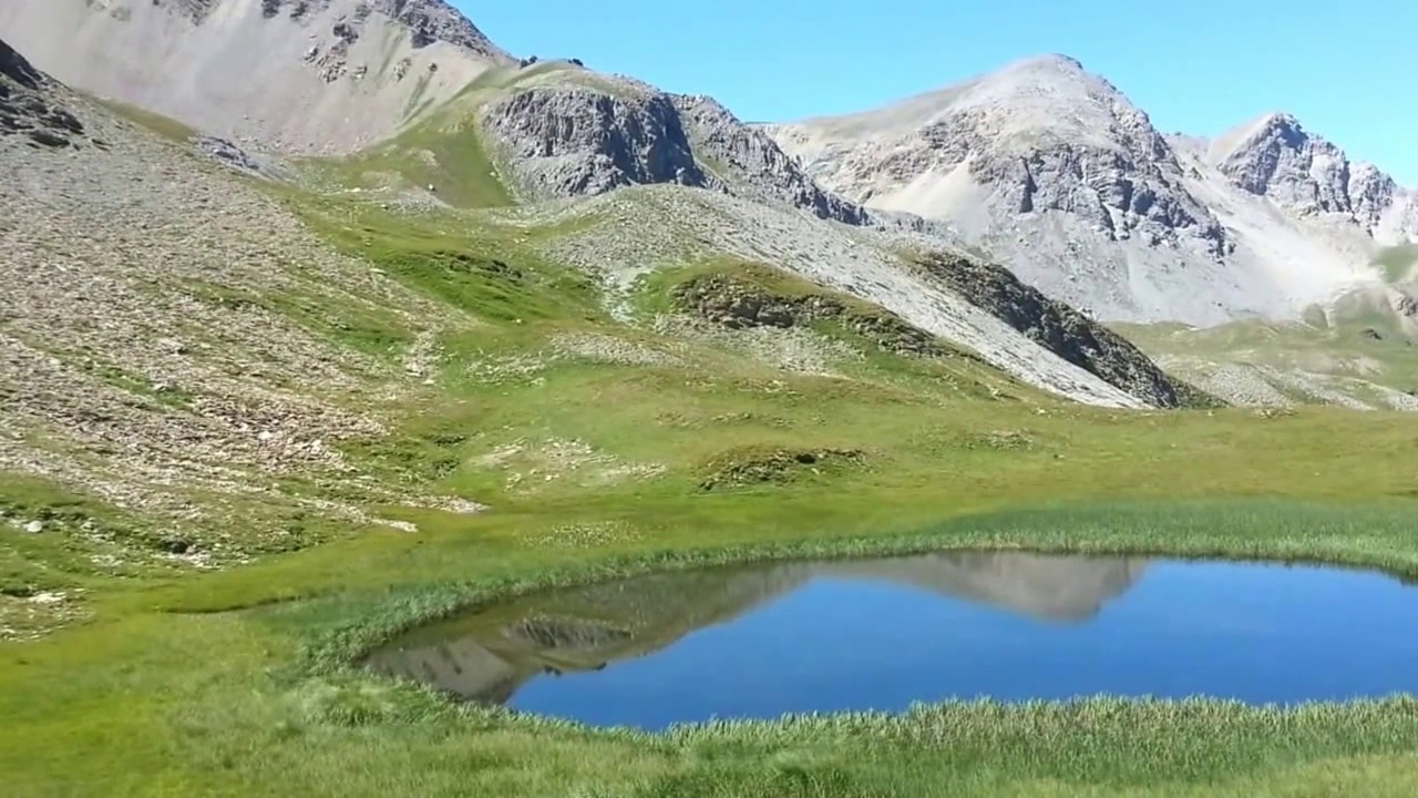
France > Provence-Alpes-Côte d'Azur > Hautes-Alpes > Queyras Regional Natural Park
Length
5km
Duration
2h30min
Elev gain
322m
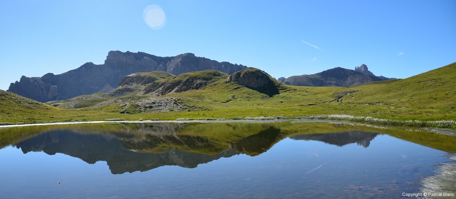
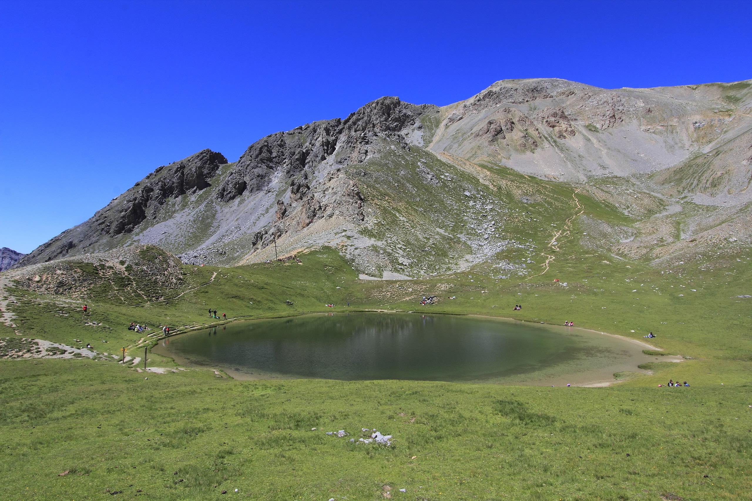
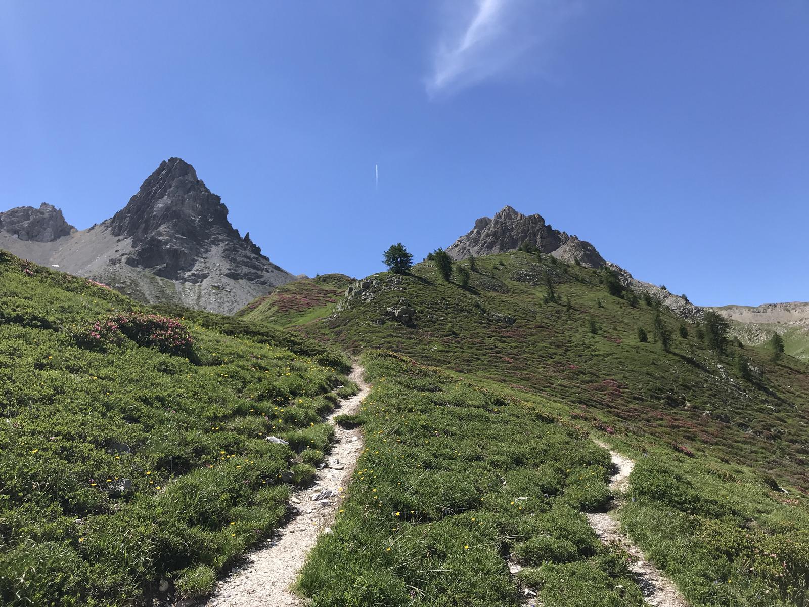
Hike to the Clapeyto chalets, which are around twenty traditional Queyras alpine chalets located at an altitude of 2221 meters. The path alternates between forests and more barren landscapes.

Already more than 200,000 users!
Uphill
322m
Highest point
2249m
Downhill
322m
Lowest point
1950m
Route type
Loop
Download the map on your smartphone to save battery and rest assured to always keep access to the route, even without signal.
Includes IGN France and Swisstopo.
I indicate whether dogs are allowed or prohibited on this trail
From May to September
0 ratings
Also enjoy:

Already more than 200,000 users!