Uphill
550m
France > Provence-Alpes-Côte d'Azur > Hautes-Alpes > Queyras Regional Natural Park
Length
10km
Duration
4h
Elev gain
550m
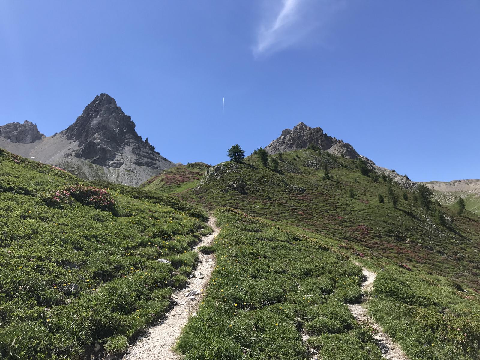
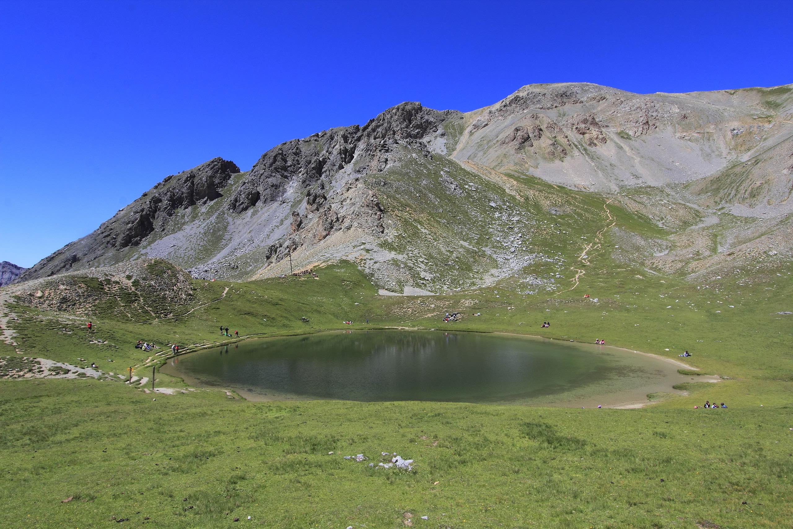
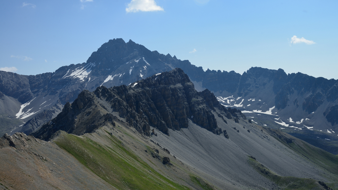
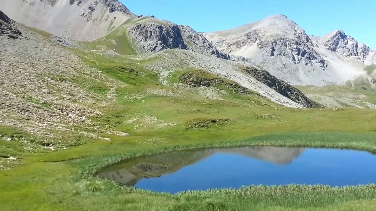
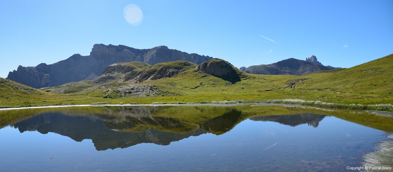
Hike that leads to the Lacs de Cogour via the Chalets de Clapeyto. The lakes are of great beauty. Note that this trail can be very busy during high season, especially up to the chalets.

Already more than 200,000 users!
Uphill
550m
Highest point
2488m
Downhill
550m
Lowest point
1957m
Route type
Loop
Download the map on your smartphone to save battery and rest assured to always keep access to the route, even without signal.
Includes IGN France and Swisstopo.
I indicate whether dogs are allowed or prohibited on this trail
From June to September
0 ratings
Also enjoy:

Already more than 200,000 users!