Uphill
1067m
France > Provence-Alpes-Côte d'Azur > Hautes-Alpes > Queyras Regional Natural Park
Length
10km
Duration
7h
Elev gain
1067m
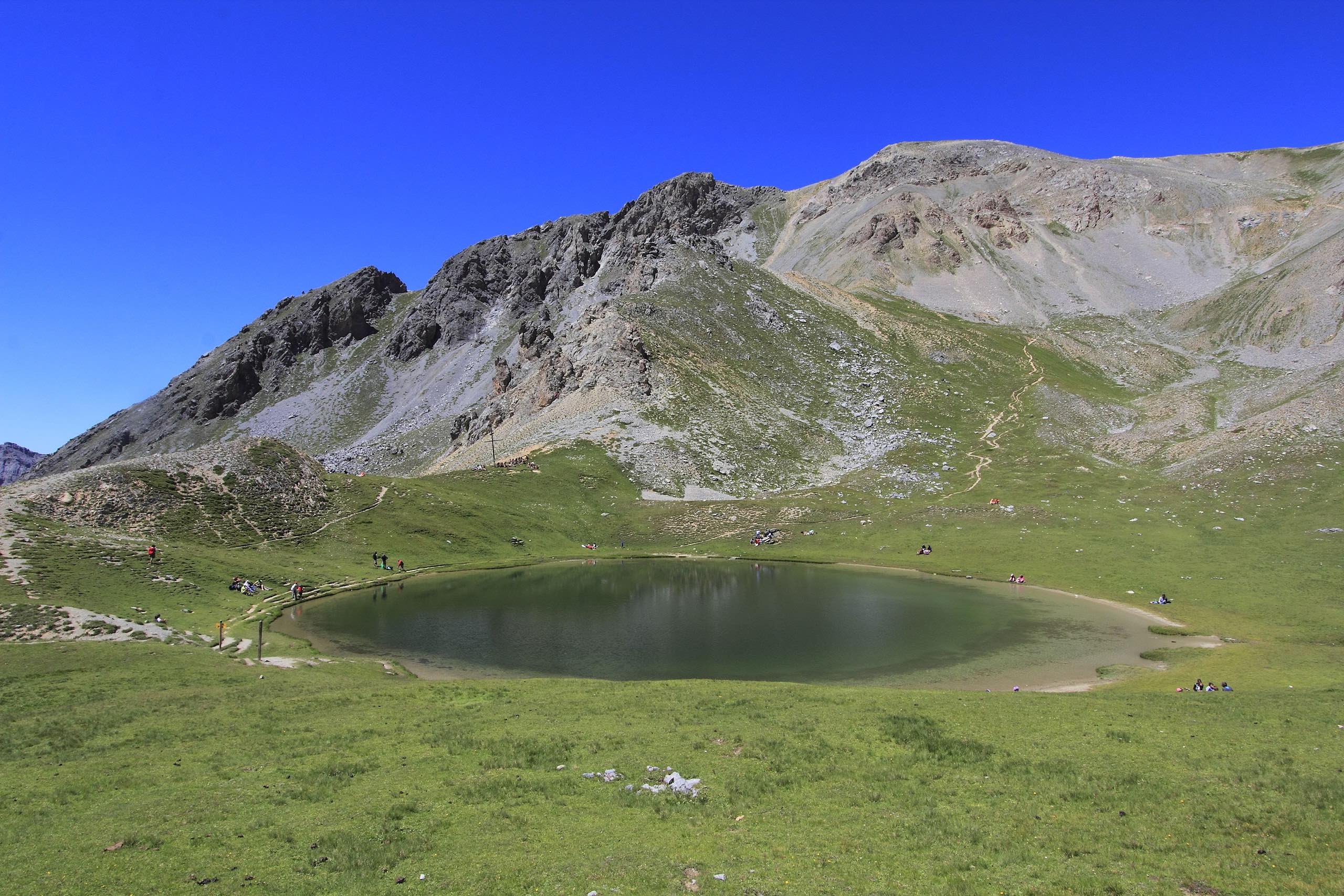
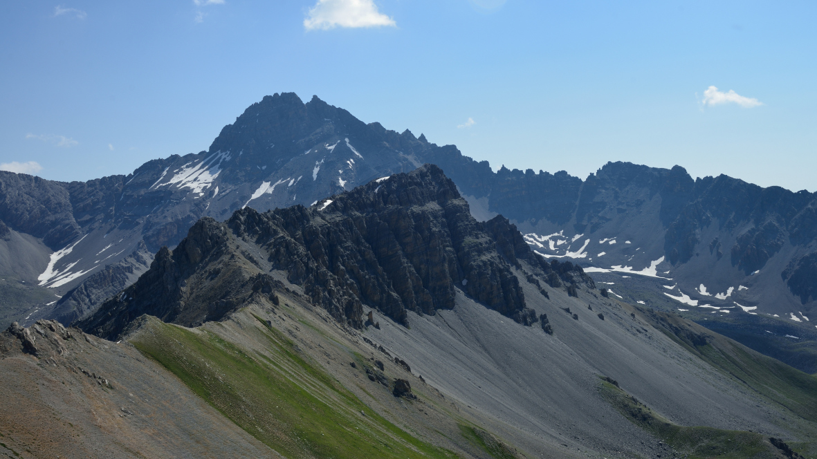
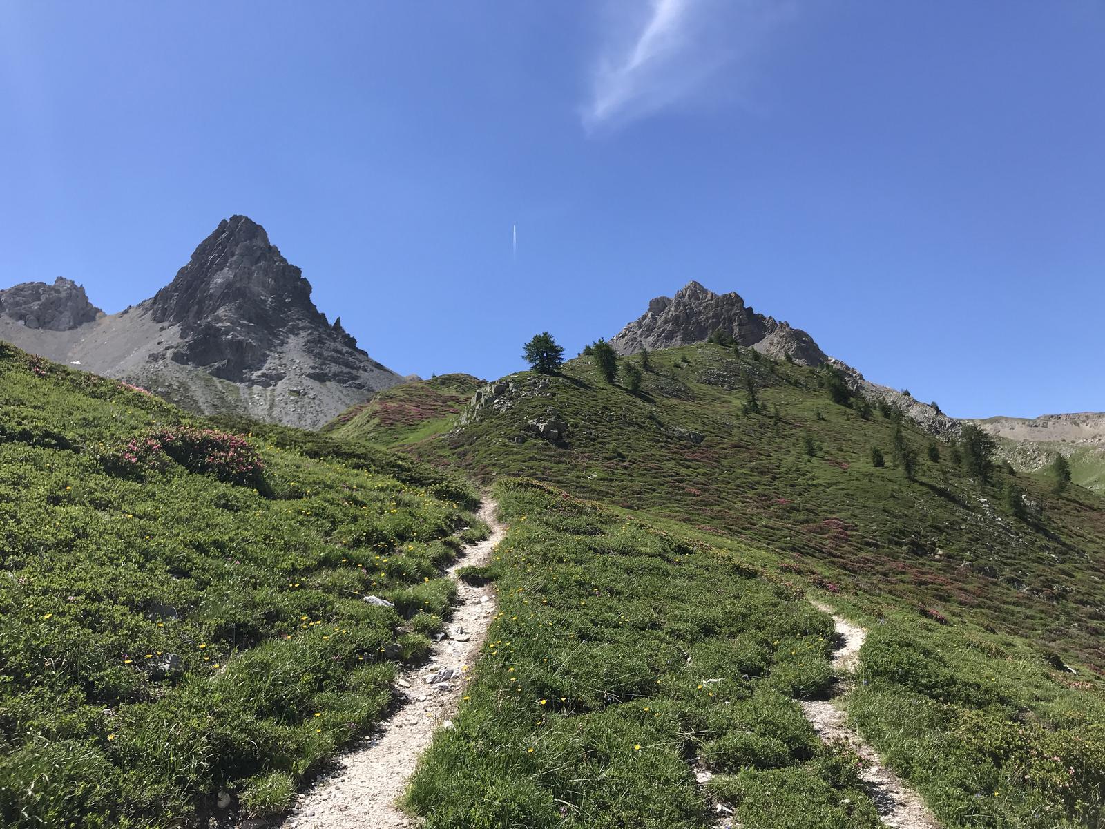
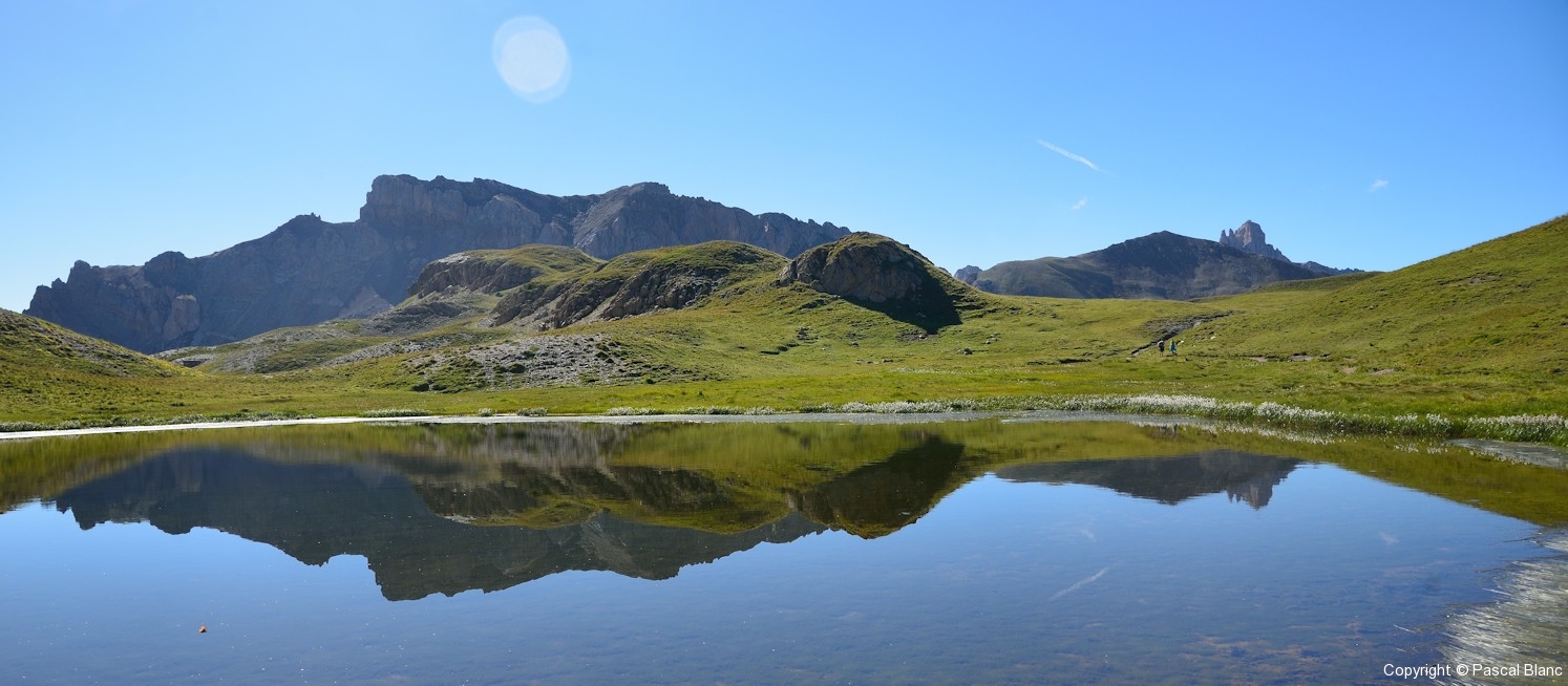
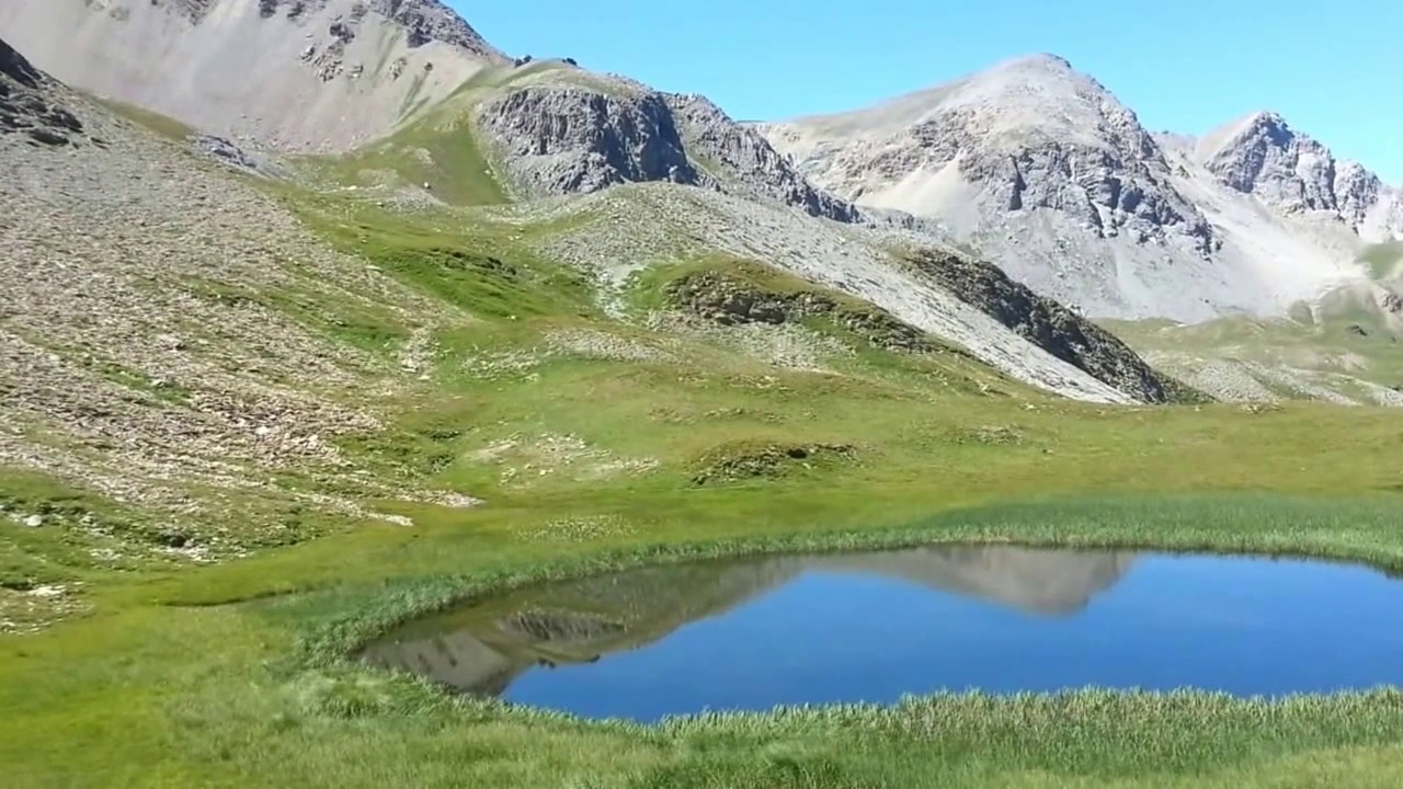
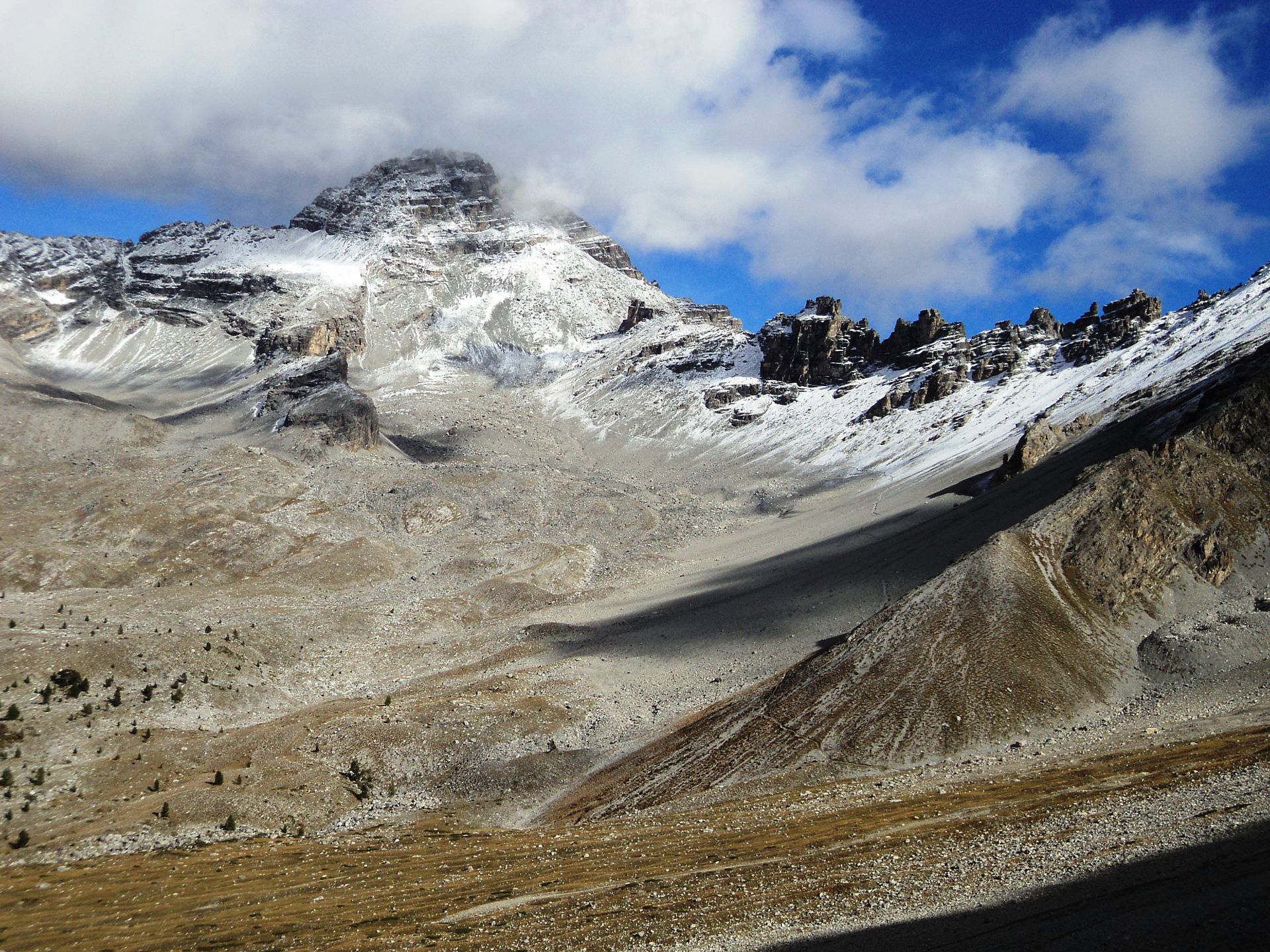
Difficult and rocky ascent, which requires training. Wearing a helmet is recommended due to falling rocks. However, the view at the top is magnificent.

Already more than 200,000 users!
Uphill
1067m
Highest point
3239m
Downhill
1067m
Lowest point
2374m
Route type
There and back
Download the map on your smartphone to save battery and rest assured to always keep access to the route, even without signal.
Includes IGN France and Swisstopo.
I indicate whether dogs are allowed or prohibited on this trail
From June to September
0 ratings
Also enjoy:

Already more than 200,000 users!