Uphill
759m
Length
10km
Duration
5h30min
Elev gain
759m
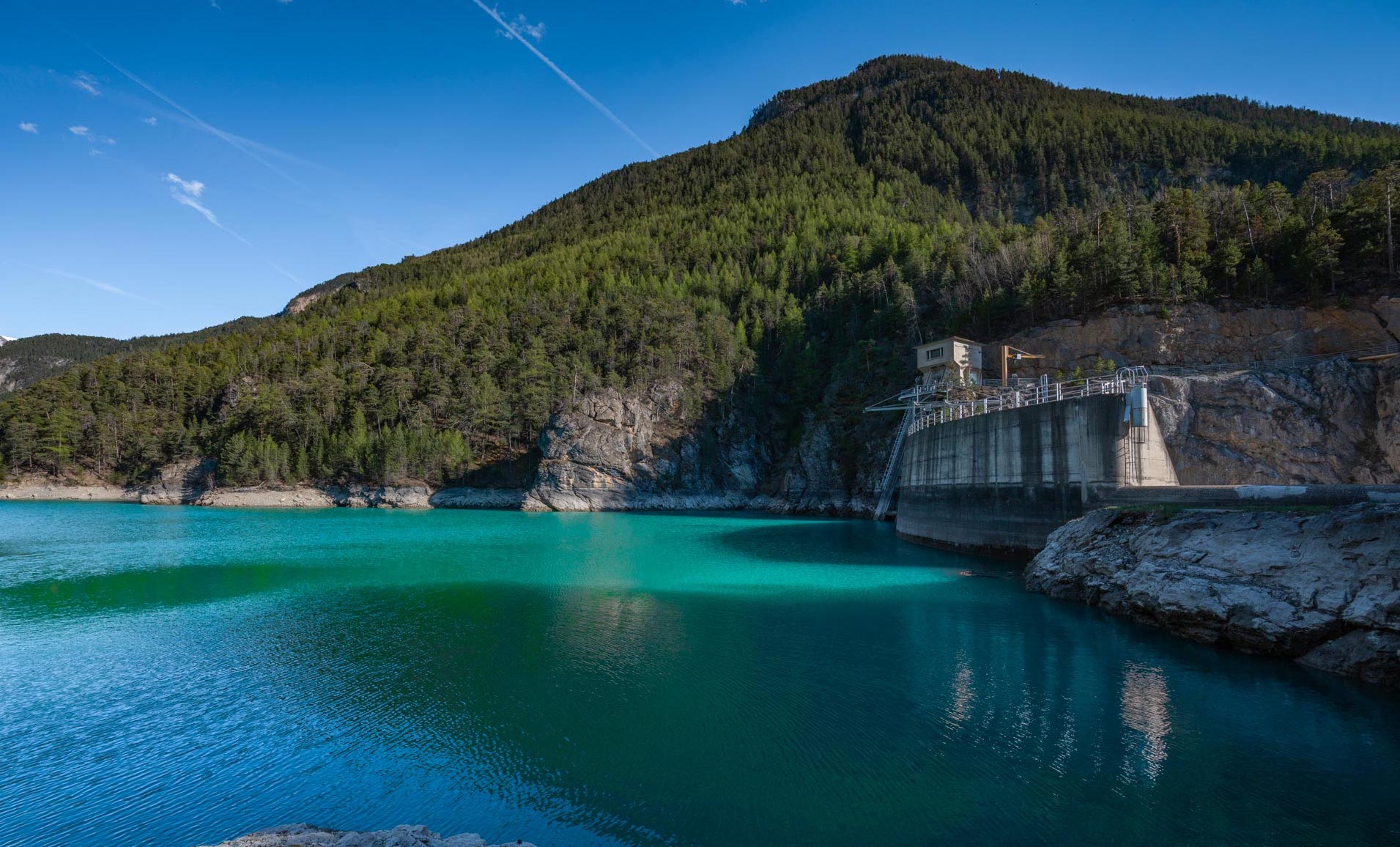
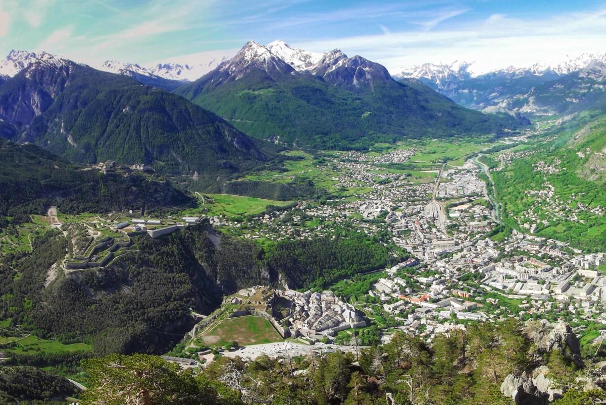
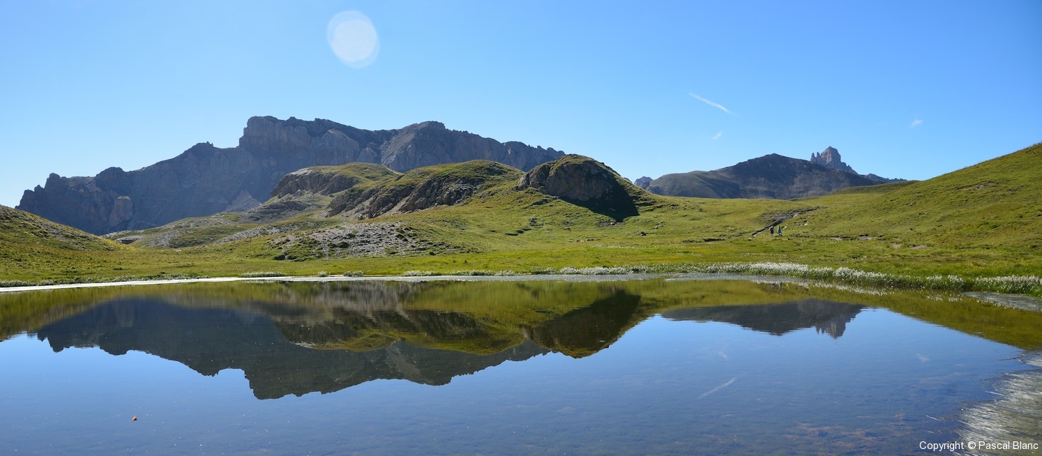
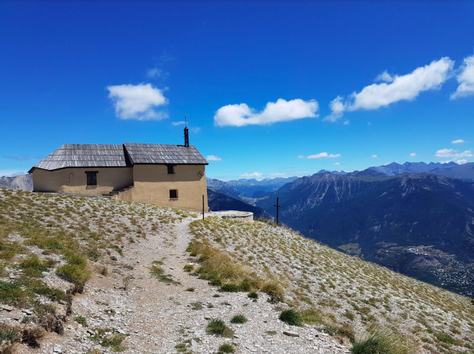
Leaving from Puy-Saint-Pierre, this hike crosses a ski area to the pretty chapel of Notre-Dame-des-Neiges (2,292 m). The path offers varied landscapes and a panoramic view of Briançon.

Already more than 200,000 users!
Uphill
759m
Highest point
2306m
Downhill
759m
Lowest point
1547m
Route type
Loop
Download the map on your smartphone to save battery and rest assured to always keep access to the route, even without signal.
Includes IGN France and Swisstopo.
I indicate whether dogs are allowed or prohibited on this trail
From May to September
0 ratings
Also enjoy:

Already more than 200,000 users!