Uphill
1115m
Length
15km
Duration
8h
Elev gain
1115m
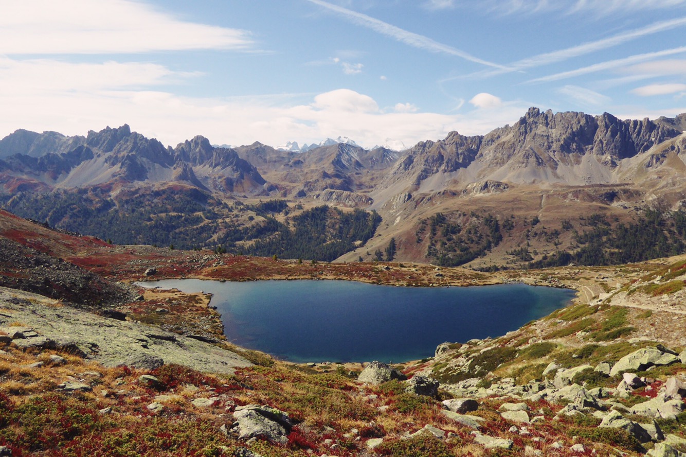
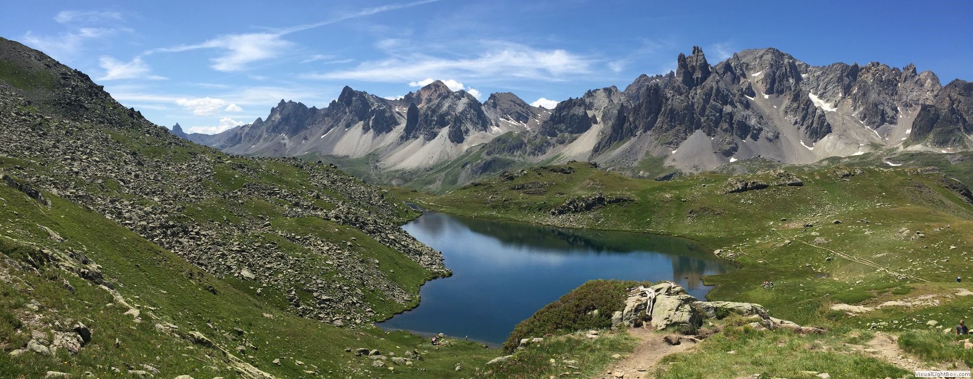
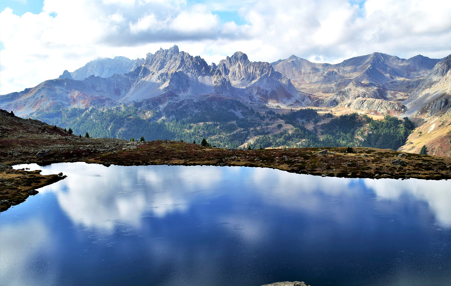
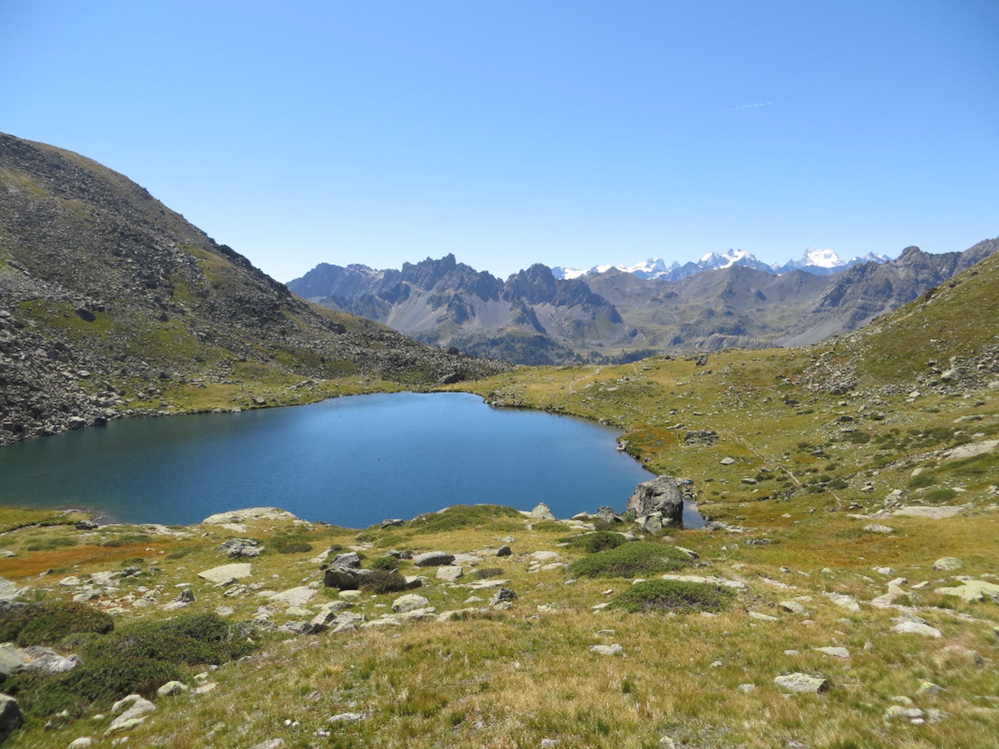
This summit offers a beautiful panorama of the Ecrins and the Thabor massif. On the way, discover the lakes of Laramon, Serpent and Gardioles.

Already more than 200,000 users!
Uphill
1115m
Highest point
2958m
Downhill
1115m
Lowest point
1845m
Route type
Loop
Download the map on your smartphone to save battery and rest assured to always keep access to the route, even without signal.
Includes IGN France and Swisstopo.
I indicate whether dogs are allowed or prohibited on this trail
From June to September
0 ratings
Also enjoy:

Already more than 200,000 users!