Uphill
220m

Length
4km
Duration
1h30min
Elev gain
220m
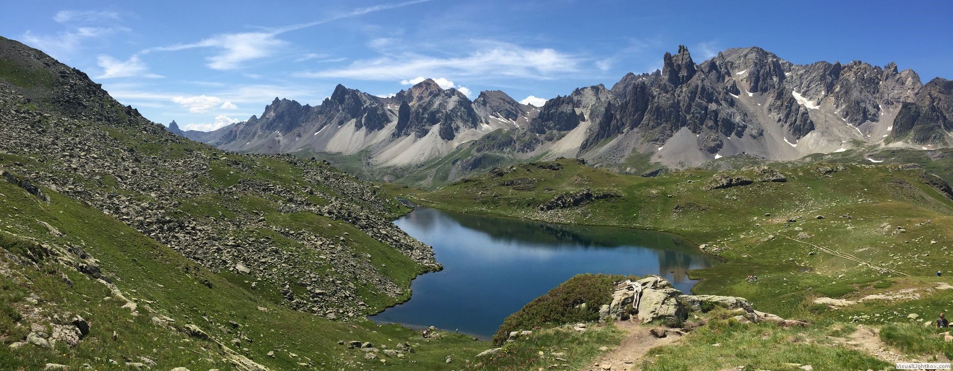
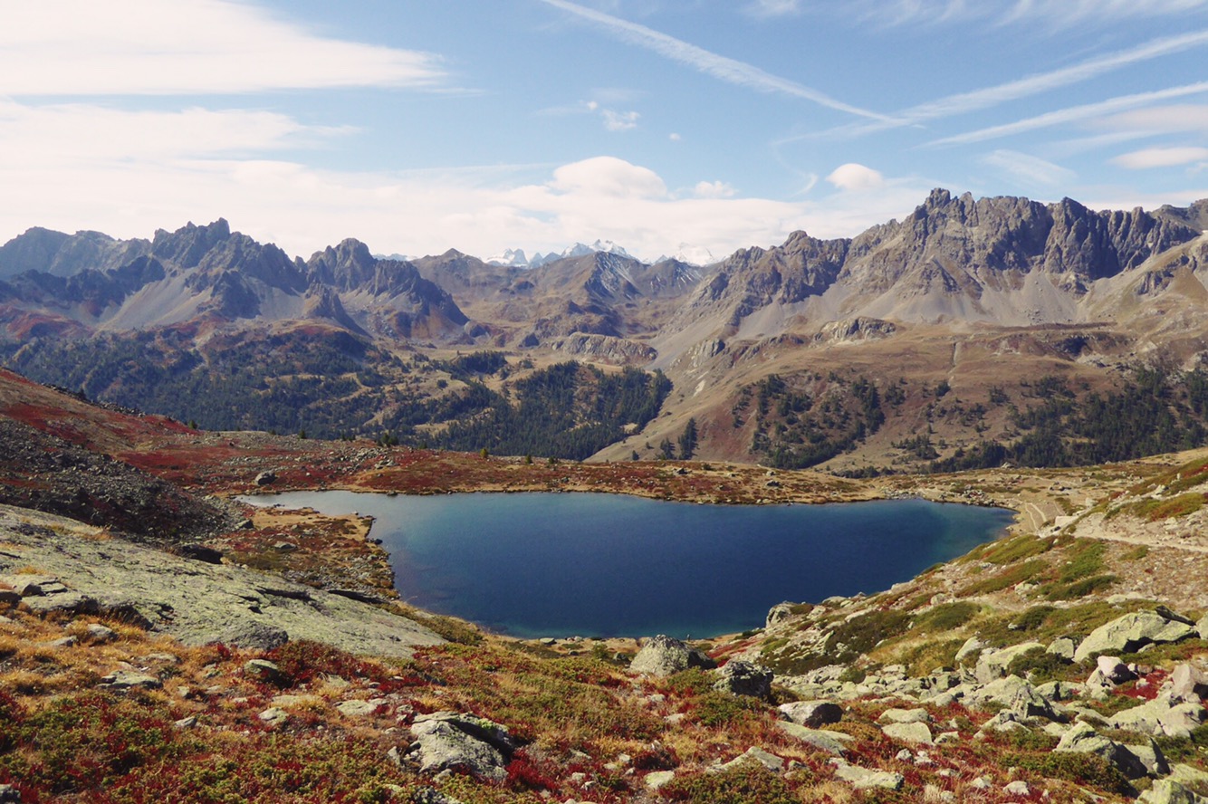
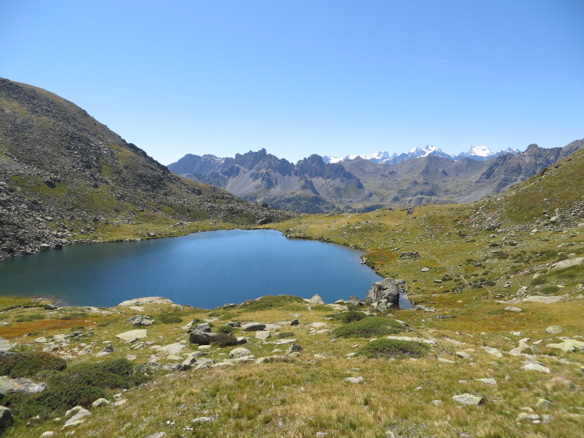
Family friendly hike near the Laval refuge, offering a nice glimpse of the wild landscapes of the Clarée valley.
This tour takes a trail to Long Lake, but turns around before the path gets too steep. You may continue further if you wish.

Already more than 200,000 users!
Uphill
220m
Highest point
2239m
Downhill
220m
Lowest point
2012m
Route type
There and back
Download the map on your smartphone to save battery and rest assured to always keep access to the route, even without signal.
Includes IGN France and Swisstopo.
I indicate whether dogs are allowed or prohibited on this trail
From May to September
0 ratings
Also enjoy:

Already more than 200,000 users!