Uphill
1021m
Length
17km
Duration
7h30min
Elev gain
1021m
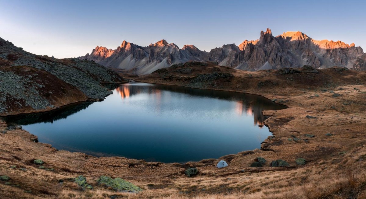
Long and challenging hike in the heart of the Cerces massif, on the Franco-Italian border. It begins with a steep ascent to the Col des Béreaudes, but the magnificent and varied landscapes reward the efforts.

Already more than 200,000 users!
Uphill
1021m
Highest point
2764m
Downhill
1021m
Lowest point
2003m
Route type
Loop
Download the map on your smartphone to save battery and rest assured to always keep access to the route, even without signal.
Includes IGN France and Swisstopo.
I indicate whether dogs are allowed or prohibited on this trail
From June to September
1 rating
Also enjoy:

Already more than 200,000 users!


