Uphill
455m
Length
9km
Duration
3h30min
Elev gain
455m
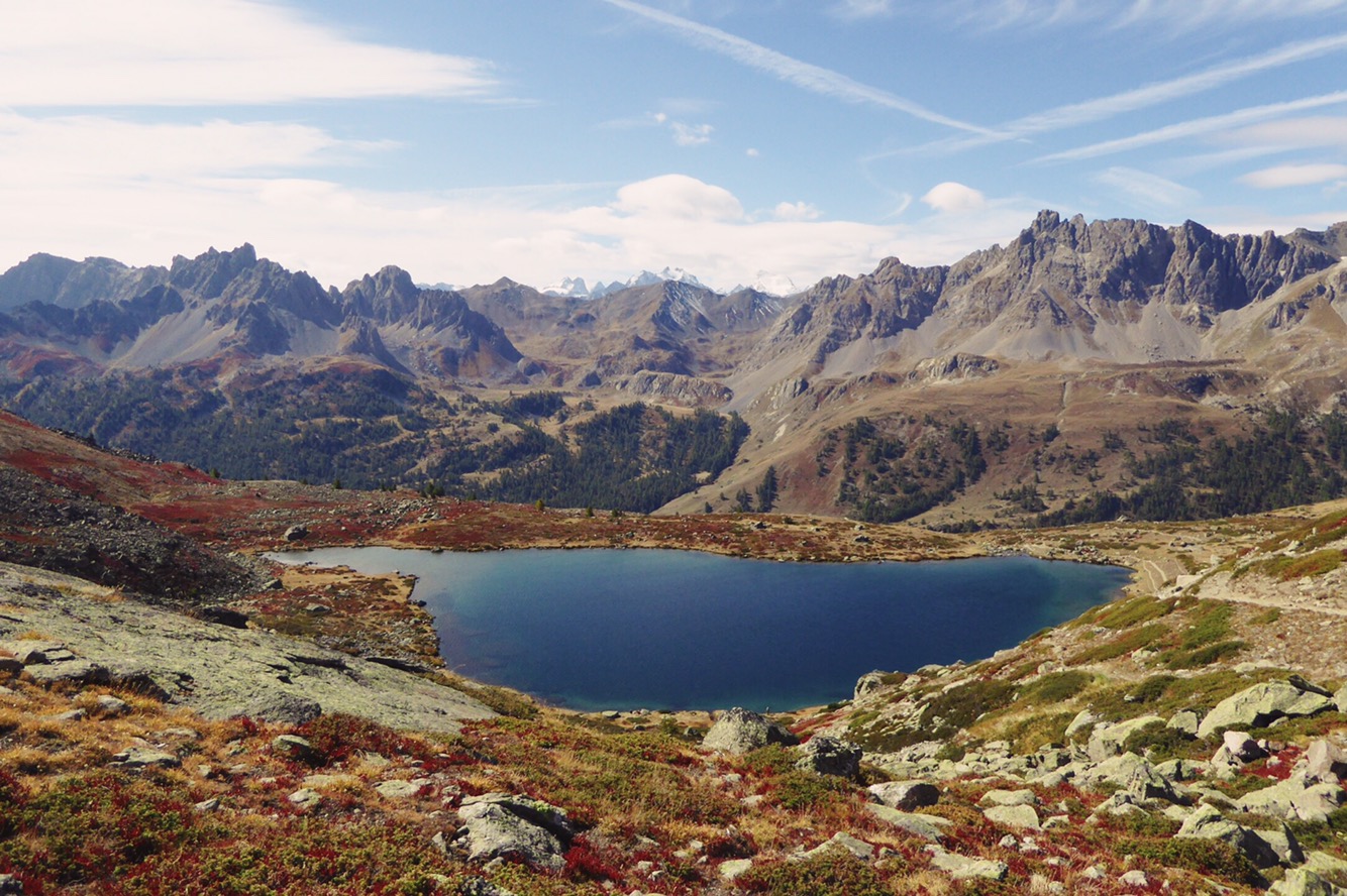
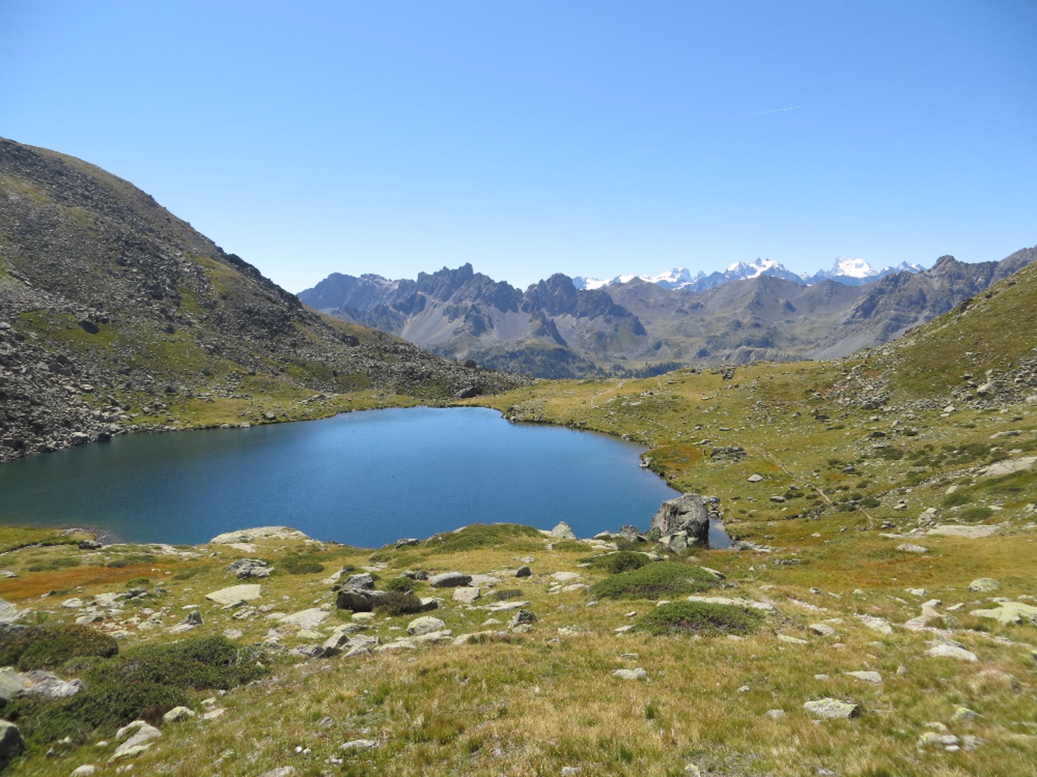
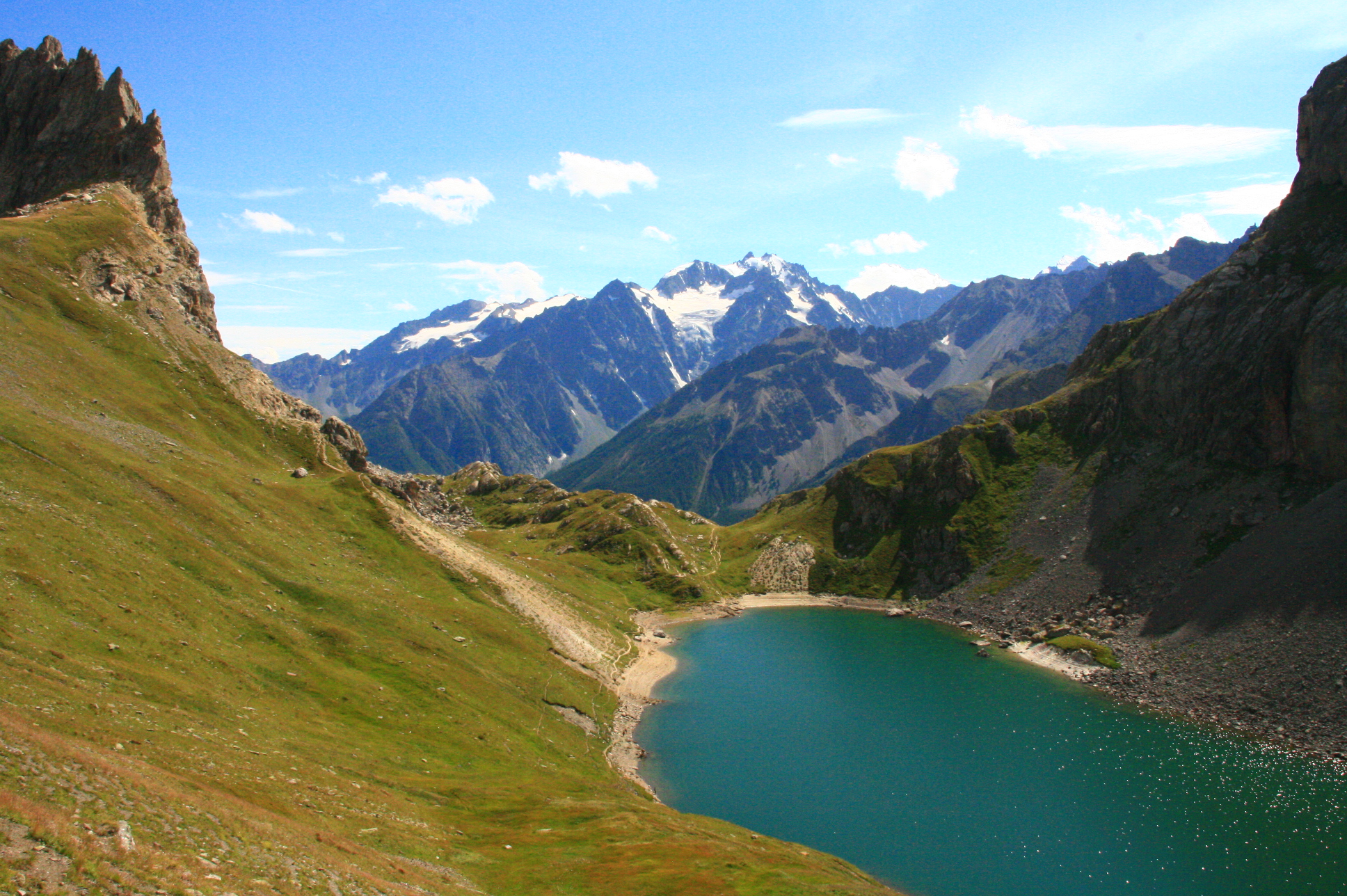
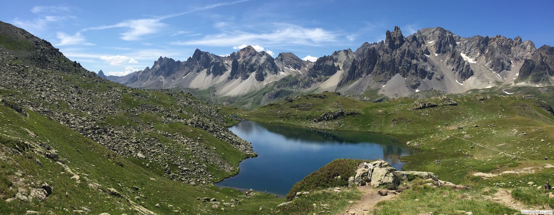
From the chalets in Laval, this is a small loop allowing you to discover two pretty high-altitude lakes.

Already more than 200,000 users!
Uphill
455m
Highest point
2463m
Downhill
455m
Lowest point
2003m
Route type
Loop
Download the map on your smartphone to save battery and rest assured to always keep access to the route, even without signal.
Includes IGN France and Swisstopo.
I indicate whether dogs are allowed or prohibited on this trail
From June to September
0 ratings
Also enjoy:

Already more than 200,000 users!